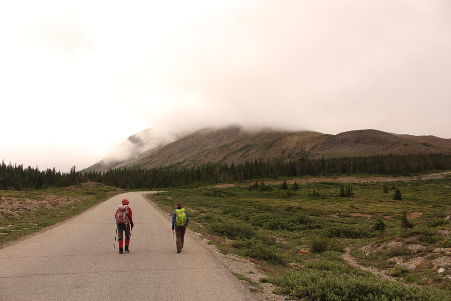
Zosia and Andrea hike the paved road to the snow coach staging area. Boundary Peak is hidden somewhere in the clouds.


The trail to Boundary Peak starts at a wooden stake just before the staging area.
|
|
Zosia and Andrea hike the paved road to the snow coach staging area. Boundary Peak is hidden somewhere in the clouds. |
|
|
Andrea and Zosia arrive at the snow coach staging area. |
|
|
The trail to Boundary Peak starts at a wooden stake just before the staging area. |
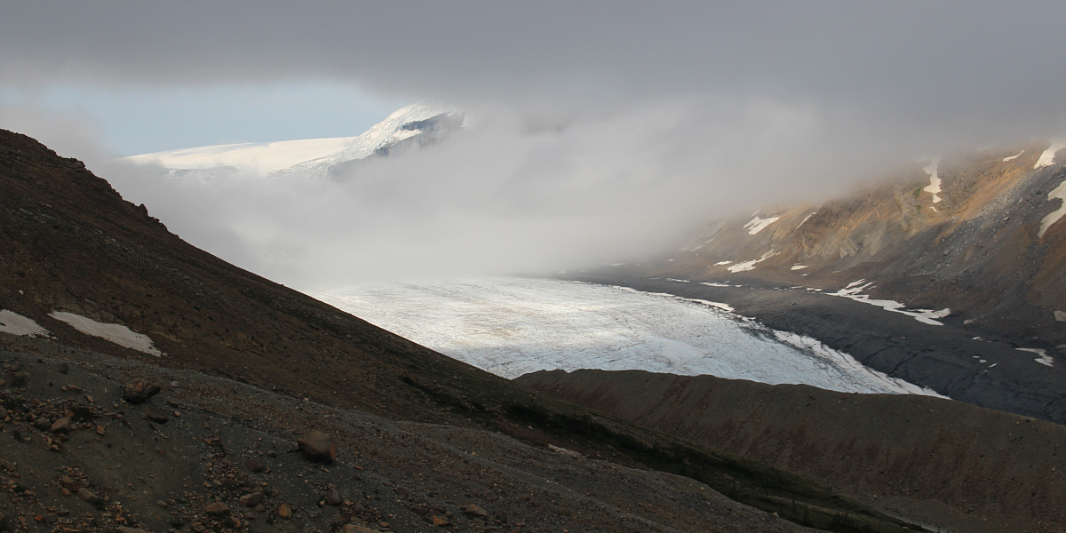
The clouds clear a bit to reveal Athabasca Glacier.
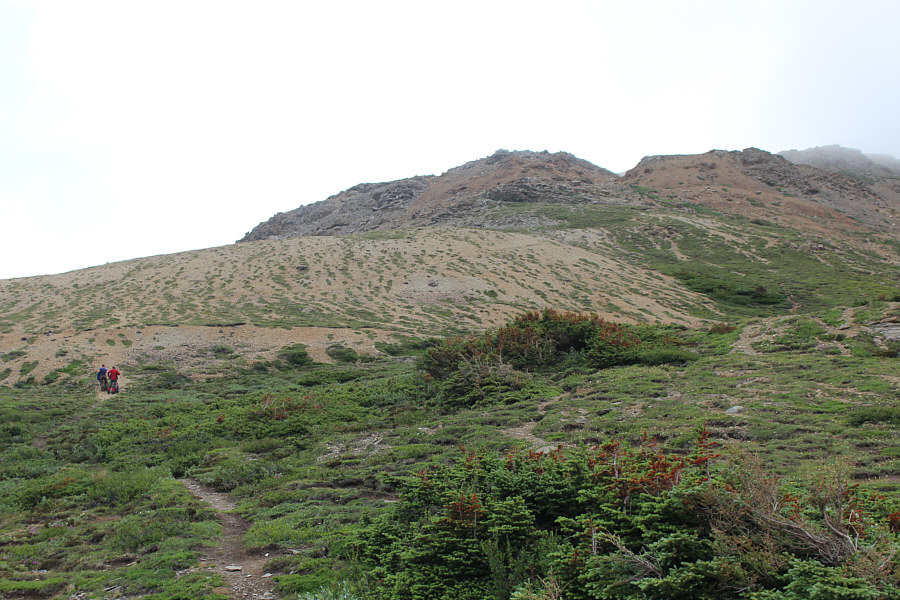 |
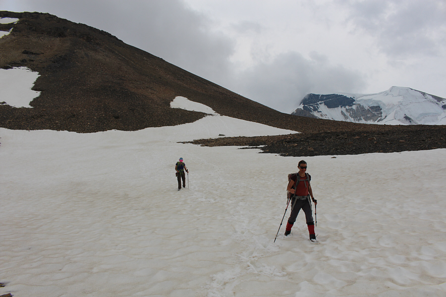
Vegetation slowly peters out higher up the trail. |
 |
Clouds nearly obscure Wilcox Peak across the valley. |
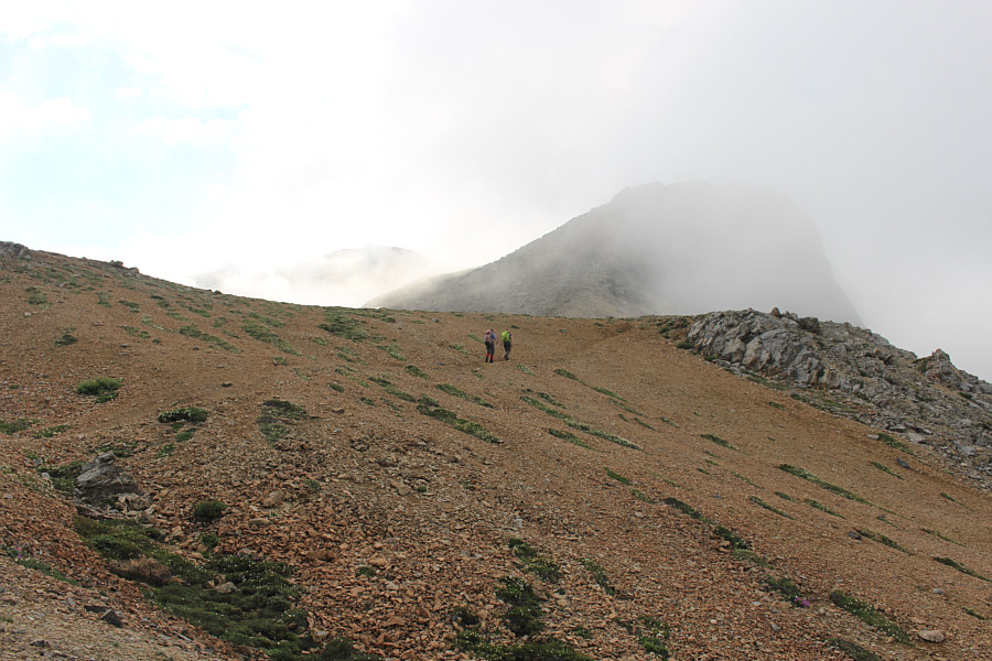 |
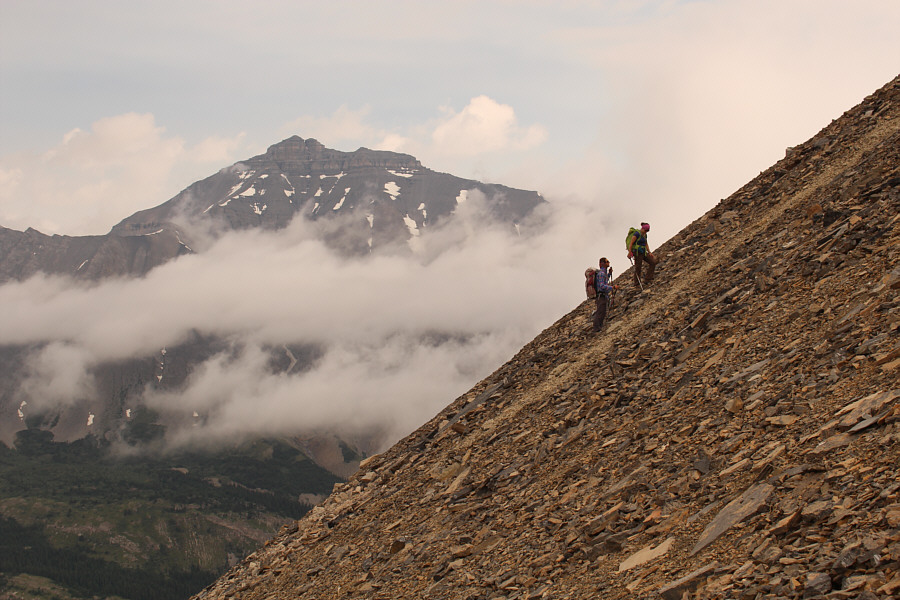
The top of Boundary Peak is barely visible through the mist at left. Zosia and Andrea would first climb up the ridge on the right. |
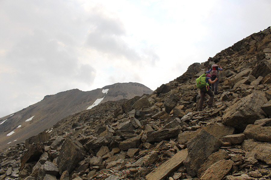 |
Andrea and Zosia scramble up the ridge. The top of Boundary Peak is now clearly visible at centre. |
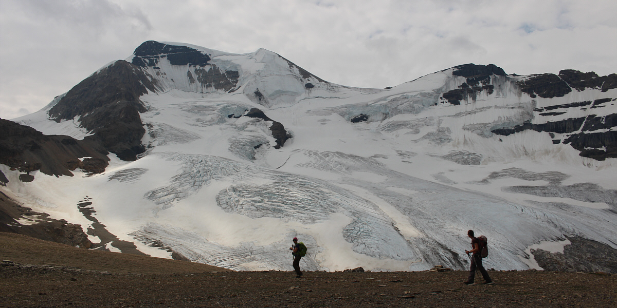
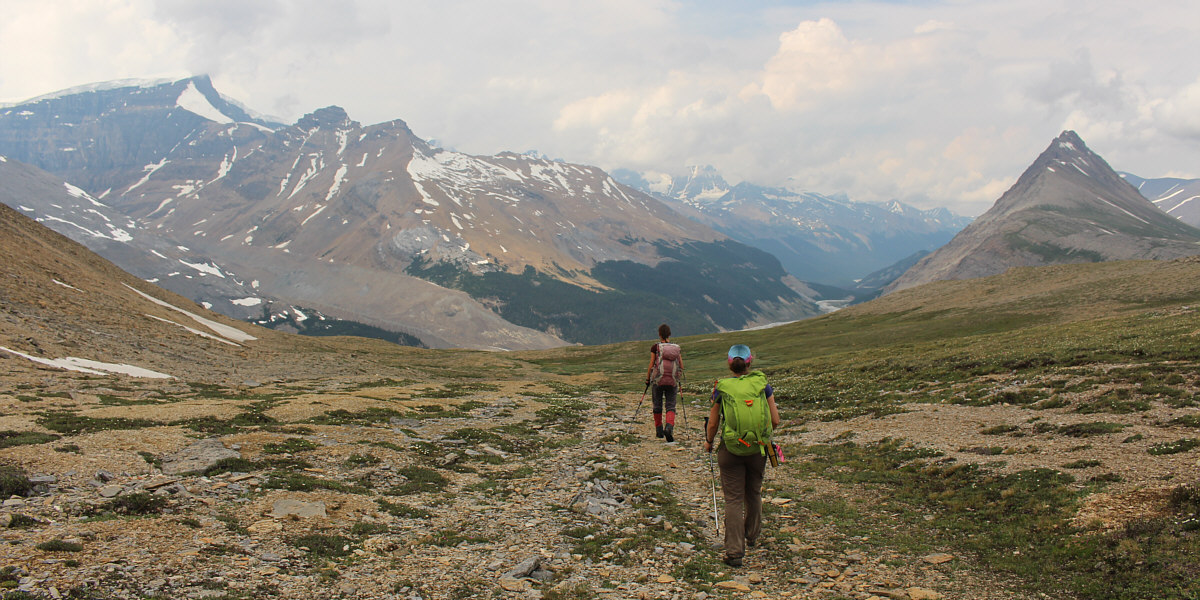
Crossing a small plateau, Andrea and Zosia are treated to an unobstructed view of Mount Athabasca's glaciated north face.
 |
From the plateau, a trail can be seen running straight up Boundary Peak. |
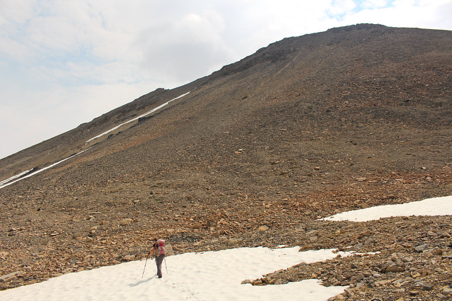 |
Zosia approaches the bottom of the final slope before the summit. |

Nigel Peak stands out from the clouds across the valley.
 |
The treadmill rubble on the final slope is tedious to ascend. |
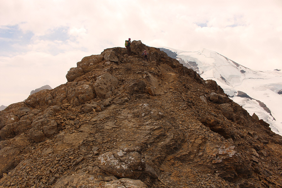 |
Andrea and Zosia finally gain the summit ridge. |
 |
Sonny, Zosia and Andrea relax on the summit of Boundary Peak (2870 metres). |
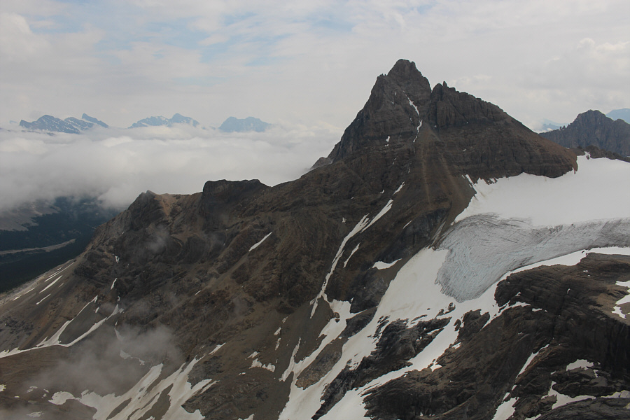 |
Hilda Peak to the southeast is a real eye-catcher. |
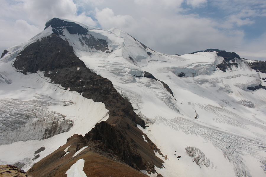 |
Mount Athabasca dominates the view to the south. |
 |
Snow Dome (centre) and Mount Kitchener (right) are visible in the distance to the west. |
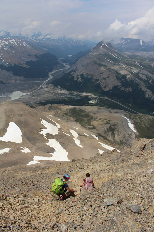 |
Andrea and Zosia carefully descend a lot of loose rubble. |
 |
Some lingering snow patches make the descent much easier. |
Zosia and Andrea follow an alternate route through a meadow.
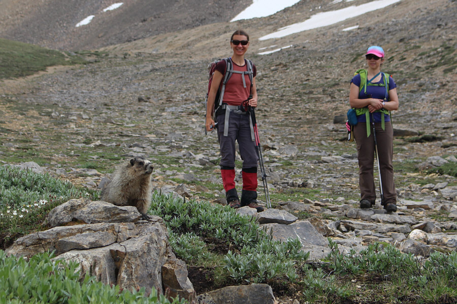 |
A hoary marmot entertains Zosia and Andrea. |
 |
The marmot retreats to its hiding place under a rock but still pokes its head out to see what is happening outside. |
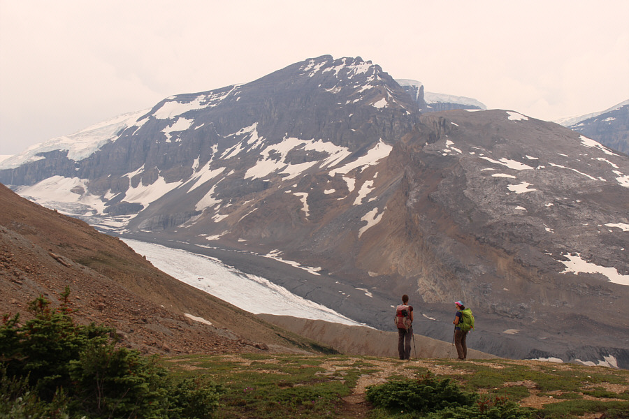 |
Zosia and Andrea get another glimpse of Athabasca Glacier on their way down. |
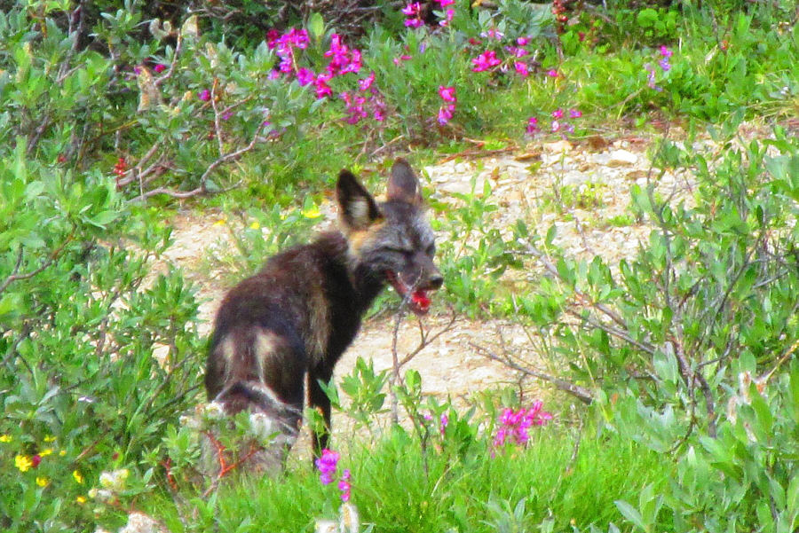 |
This cross fox lurks in the meadows near the paved road. Photo courtesy of Zosia Zgolak |
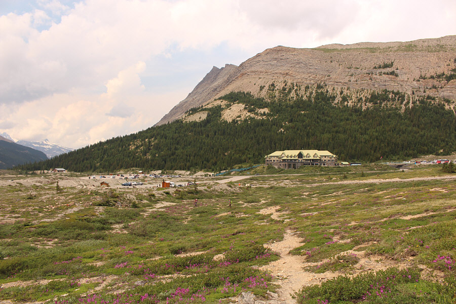 |
Instead of following the paved road all the way back to the parking lot, Zosia and Andrea cut through a flowery meadow. Columbia Icefield Centre is visible across the highway. |
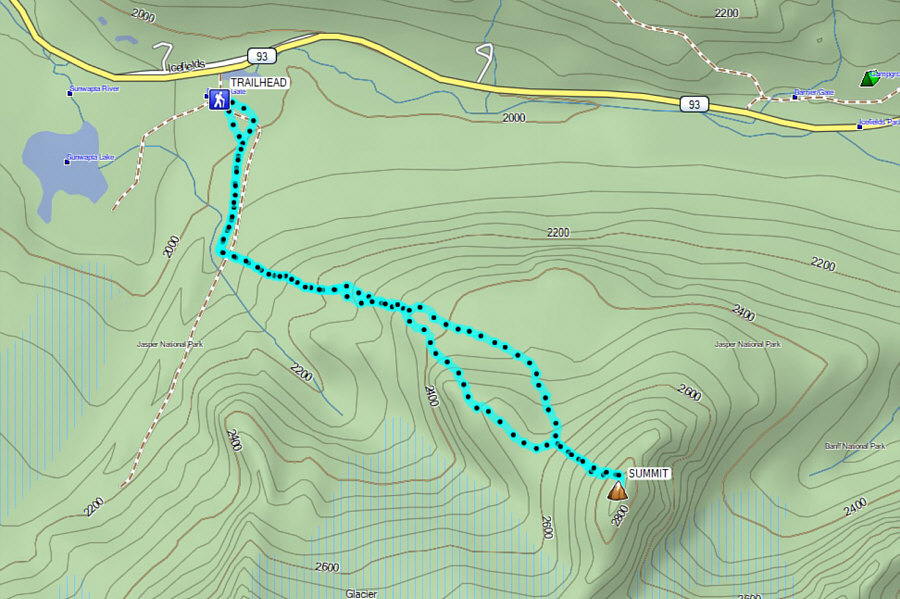 |
Total
Distance: 8.0 kilometres Round-Trip Time: 5 hours 38 minutes Net Elevation Gain: 898 metres |