BOU AVENUE
Cataract Creek Ridge
Asieh Ghodratabadi, Ali Shariat, Zosia Zgolak and I hiked up an unnamed ridge located just southwest of Cataract Creek campground in Alberta's Cataract Creek Snow Vehicle Public Land Use Zone on 13 November 2021.  For simplicity, I have taken the liberty to name this objective Cataract Creek Ridge.  Unable to find any information online, I used Google Earth to plot a tentative route up the south end of the ridge.  In planning my route, I tried to stick mostly to open cut blocks, but of course, I did not know how easy or hard the travel would be until we actually set foot there.

From Highwood Junction along Highway 40, drive south on the Forestry Trunk Road (SR 940) for 16 kilometres to an obvious cut block on the west side of the road (this is about 3 kilometres south of the campground).  Park somewhere safe on the side of the road.

From where we parked along the Forestry Trunk Road, Asieh, Ali, Zosia and I climbed over a low ridge to the west and contoured around the north side of a forested knob to reach a saddle feature just east of the main ridge.  This entailed going through a series of cut blocks and enduring some light bushwhacking.  Snow cover was deep enough in some places to hide occasional nasty deadfall, and while the bush in general was not terrible, the scrubby approach nevertheless felt unpleasant.  From the saddle, we turned westward and grinded up semi-open slopes to the crest of the ridge.  Although we encountered less bush here, we had to contend with slippery conditions due to snow and increasing steepness.  Upon reaching the crest of the ridge, we traversed it from south to north passing the partially-forested high point somewhere along the way.  The ridge opens up a bit more at the north end, but with bone-chilling winds sweeping in from the west, we opted to huddle in the shelter of some trees to eat lunch.

When we resumed hiking, Asieh, Ali, Zosia and I crossed a short dip at the north end of the ridge to climb up an outlier marked by a small cairn.  The outlier is an exceptional viewpoint, but by this time, clouds had rolled into the area marring most of the far-reaching views.  The cold wind also made it too uncomfortable to linger, and we made a snap decision to drop down the east side of the outlier instead of backtracking the way we came.  We lost a lot of elevation quickly as we were able to take advantage of the snow to essentially boot-ski down the slope.  After a long stretch of easy downhill hiking, we reached a drainage which resembled a gorge with its steep embankments.  It was a bit tricky to drop into and then scramble out of the drainage, but we managed to muddle our way through.  We subsequently entered another clear cut and eventually worked our way back to the low ridge we climbed over earlier in the day.  We picked up our own tracks on the far side of the ridge and had no serious issues following them back to our starting point.
Don't expect any trails or flagging! Asieh, Ali and Zosia start the hike from a nondescript cut block beside the road.
Not the nicest approach, but it's not bad either! 
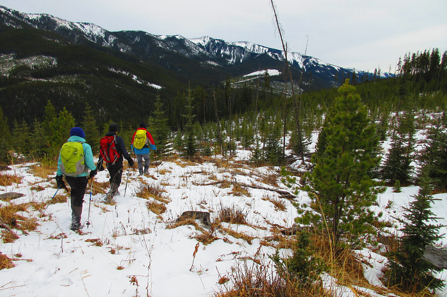
The group makes its way up another cut block aiming for the forested ridge on the right.
Maybe we should stay out of the cut blocks... After climbing over a forested ridge, the group traverses across another cut block which is annoyingly bushy.

I remember the first time I got Head...

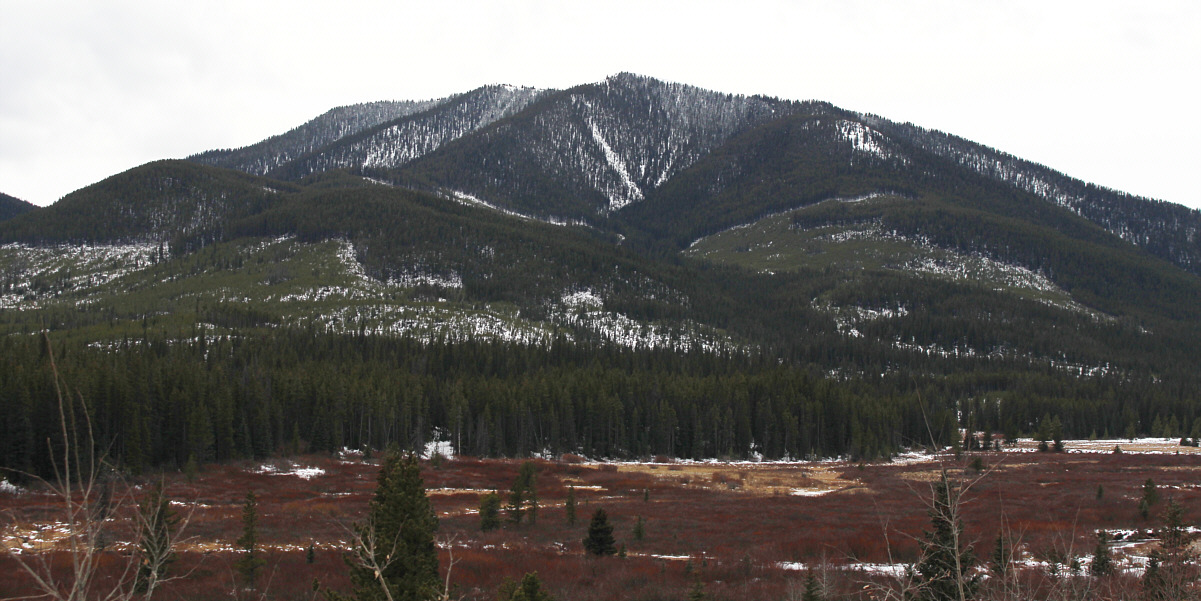
To the north, Mount Head and Holy Cross Mountain stand out in the morning sunlight.


Thank heavens the snow wasn't any deeper!

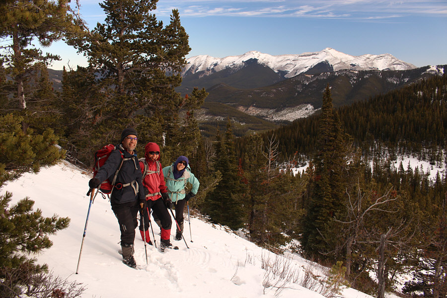
After a lengthy and somewhat unpleasant approach, Zosia, Asieh and Ali pause in a glade just before a forested saddle (right).  They would soon ascend the partially open slope at upper right.

Watch out for killer bunnies around here!

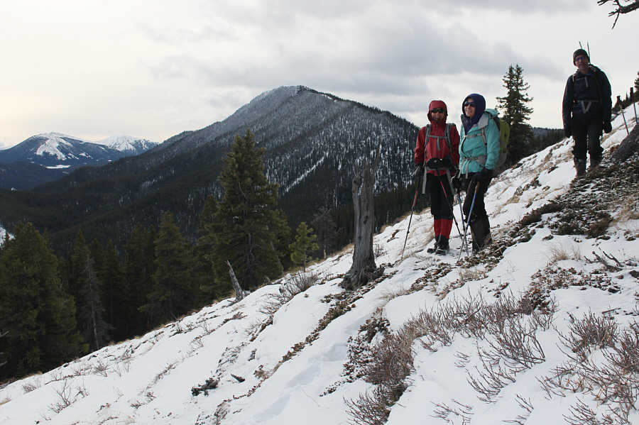
Zosia, Asieh and Ali tackle the final slope leading to the crest of Cataract Creek Ridge.  In the background is Wilkinson (or Cummings) Ridge.

Everyone is still in good spirits!

Mount Burke can be seen to the northeast as the group gains elevation.

Microspikes would help here as the terrain is very slippery. The slope gets steeper, and the snow gets deeper as Asieh approaches the crest of the ridge.
The high point is sometimes not the best point!

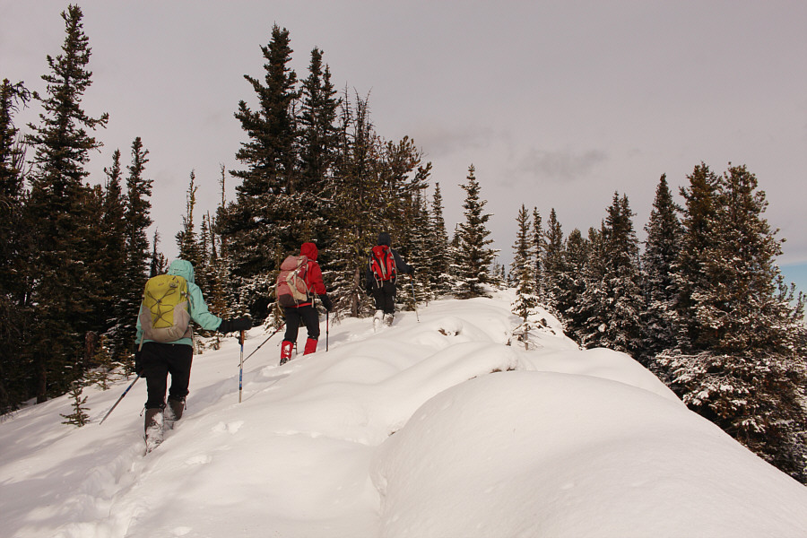
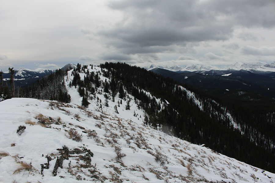
Asieh, Zosia and Ali hike along the crest of the ridge.  The high point (2266 metres) is mostly in trees just ahead.

Not the actual high point, but this part of the ridge is way more scenic.

Ali, Asieh, Zosia and Sonny pose near the north end of the main ridge.  At left is an outlier, and behind it is Raspberry Ridge.


It's likely that someone is hiking up there today. Wave!

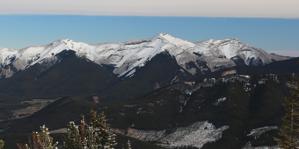
Here is a closer look at Mount Burke to the northeast.


I think I can see my office!

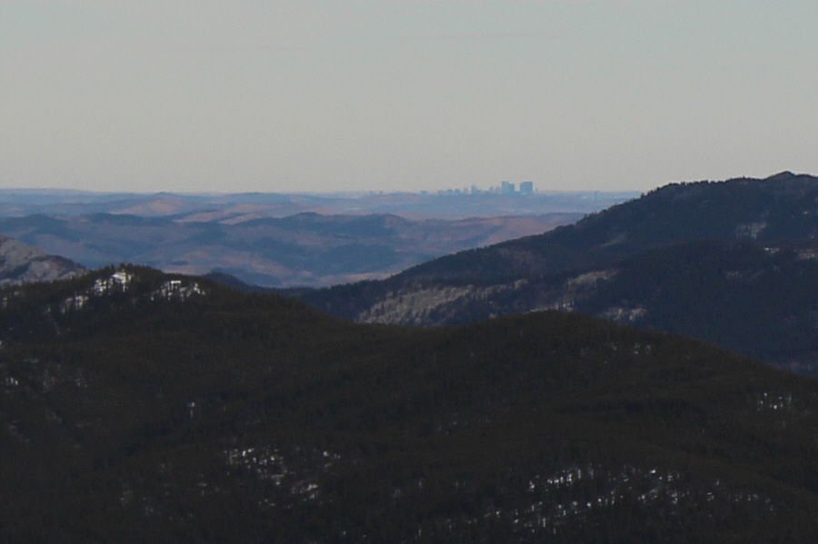
Even downtown Calgary is visible from Cataract Creek Ridge.

The wind is brutally cold here!

Asieh, Ali and Zosia hike up the outlier to the north.

I guess this isn't a first ascent!

Asieh, Ali and Zosia find a cairn atop the outlier (2253 metres).

It might be worth coming back here in the future on a nicer day...

Here is a look back south at Cataract Creek Ridge from its outlier.

Whew! It feels much warmer already just being out of the wind!

Ali, Asieh and Zosia drop down the east side of the outlier.  On the horizon is Plateau Mountain.

Too bad this was short-lived though...

Asieh, Sonny and Zosia descend perhaps the nicest slope in the vicinity.

Photo courtesy of Ali Shariat

Hardest scrambling of the day right here!

The group scrambles up a very steep embankment after crossing a drainage.

Not as bad as it sounds!

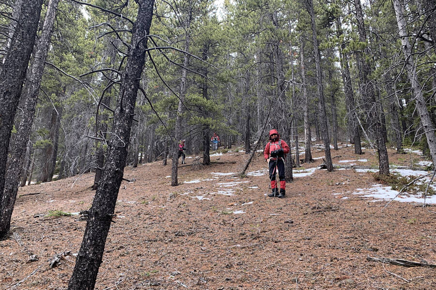
Asieh, Ali and Sonny hike through yet another cut block on their way out.

Photo courtesy of Zosia Zgolak

We came, we saw, we climbed it!

Here is a last look at Cataract Creek Ridge from the Forestry Trunk Road.


Not destined to be a classic but still a worthwhile outing. Total Distance:  6.7 kilometres
Round-Trip Time:  5 hours
Cumulative Elevation Gain:  617 metres

GPX Data