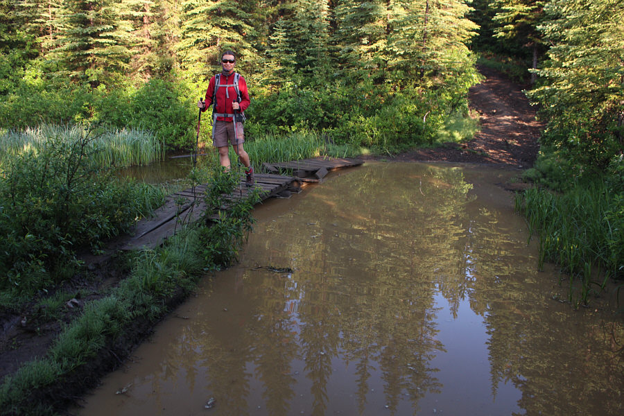
A convenient boardwalk helps Zosia get across this huge mud hole.

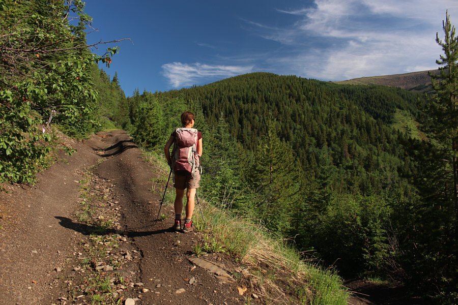
Rain and hail storms from the previous night probably helped create the numerous mud holes along the 4WD road.
|
|
A convenient boardwalk helps Zosia get across this huge mud hole. |
|
|
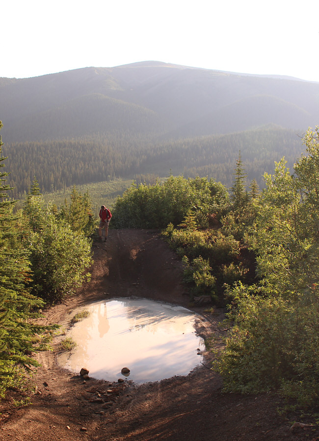
This mud hole looks like a crater. Mount Hamell is visible in the distance. |
|
|
Rain and hail storms from the previous night probably helped create the numerous mud holes along the 4WD road. |
|
|
At a switchback, Zosia gets a glimpse of the lookout building atop Mount Hamell. |
|
|
Zosia finally breaks out of the forest for good with the top of Mount Hamell in sight. |
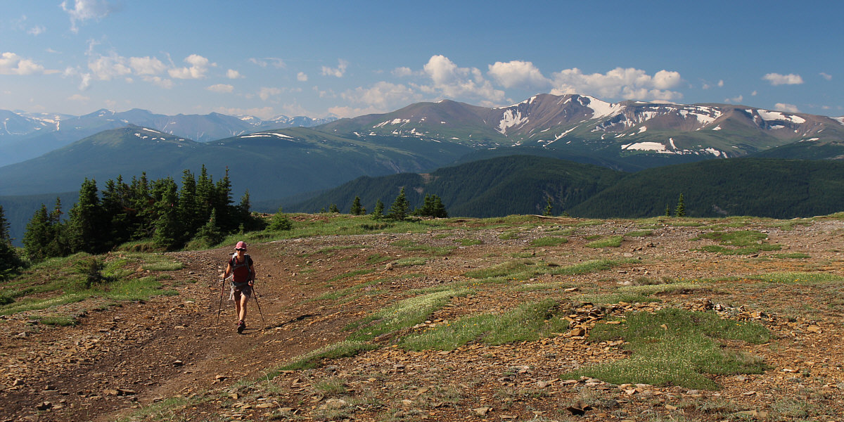
Views open up to the southwest with Lightning Ridge (right) capturing the most attention. The intervening forested ridge at far right is Ambler Mountain.
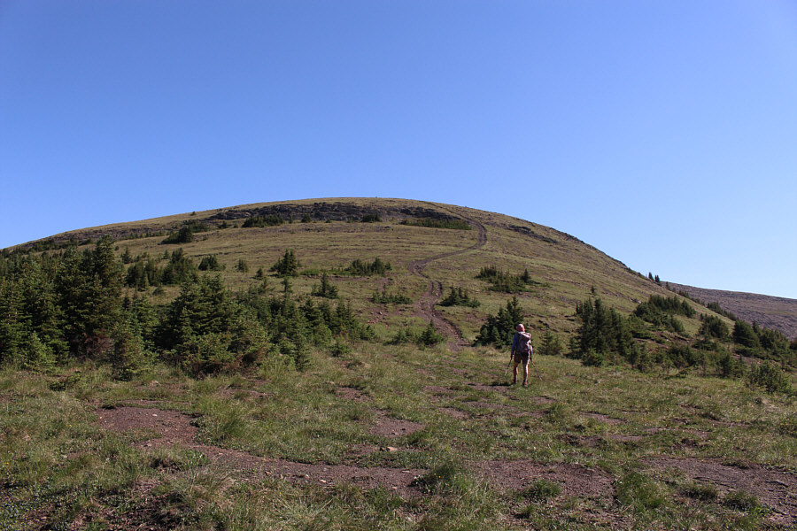 |
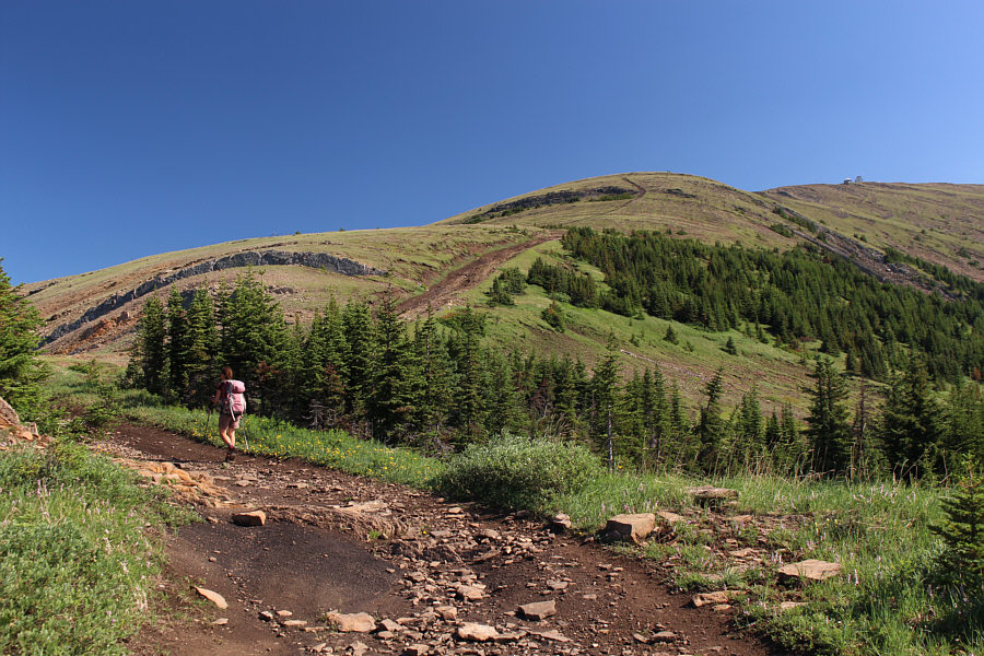
Upcoming is the last steep section before the top. |
 |
From here, it is a leisurely walk to the lookout building. |
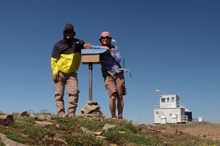 |
Sonny and Zosia stand beside the Passport to the Peaks mailbox near the summit of Mount Hamell (2130 metres). |
 |
The southeast ridge is a more challenging route to ascend. Behind the ridge is Grande Mountain. |

Here is a closer look at the lookout building on Mount Hamell. Note the horizontally-pointed wind sock.
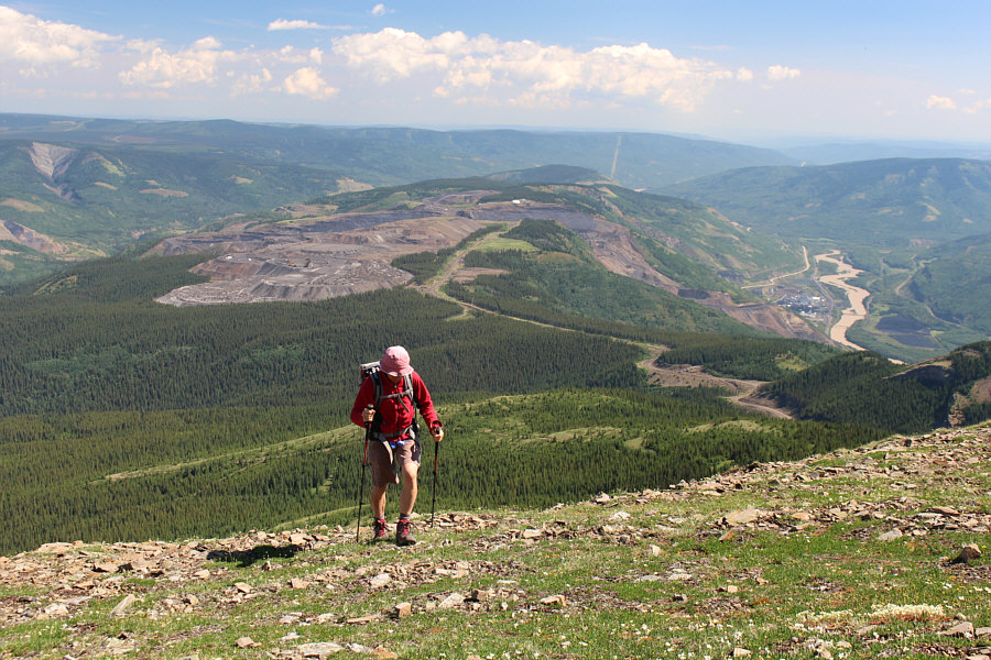 |
A coal mine to the north of Mount Hamell is purportedly set to re-open after a lengthy closure due to the COVID-19 pandemic. The town of Grande Cache has a long history of boom and bust cycles tied to coal mining. |
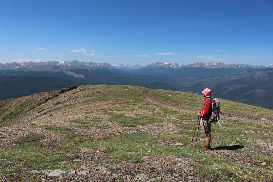 |
Zosia pauses to survey the many unfamiliar peaks to the west, most of which are located in Willmore Wilderness Park. |

In this view to the southeast, part of the town of Grande Cache can be seen to the left of Smoky River.
 |
Zosia splashes some refreshingly cold water on her face. On this day, this shallow creek was the only reliable source of fresh water that could be easily accessed from the road. |
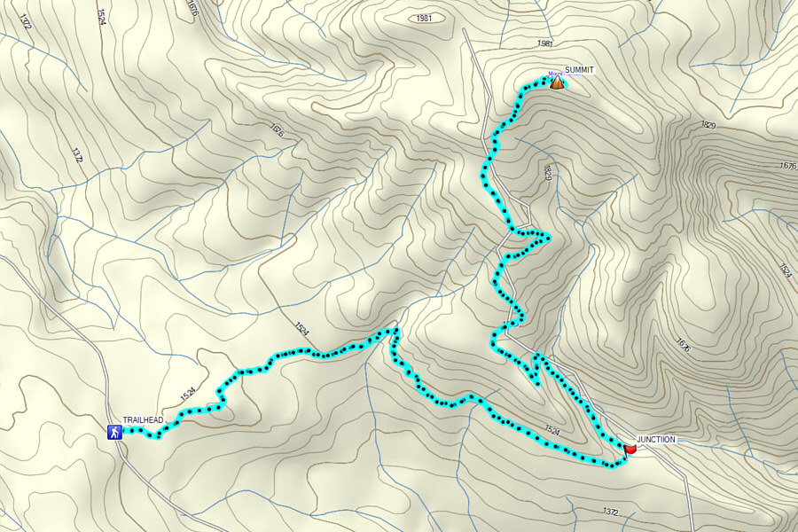 |
Total
Distance: 19.1 kilometres Round-Trip Time: 7 hours 20 minutes Cumulative Elevation Gain: 904 metres |