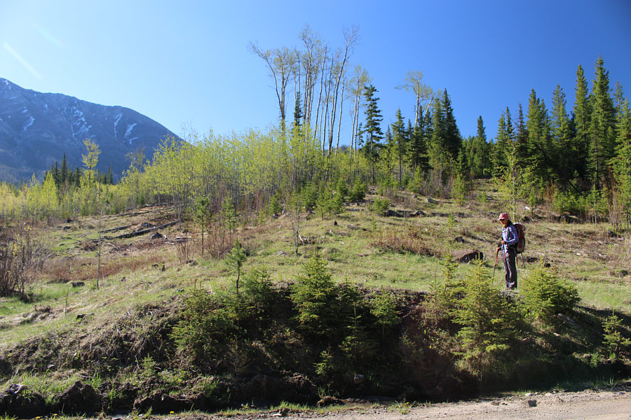
Zosia begins hiking from this spot along Sartoris Road. The top of Hurtle Peak is barely visible through the trees at centre.
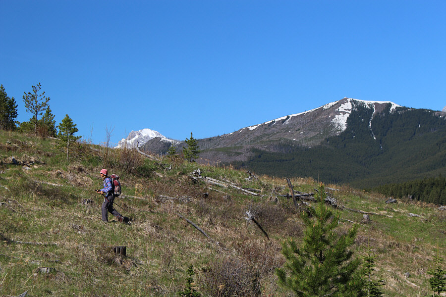
Ironstone Lookout is visible atop Willoughby Ridge at right as Zosia climbs an open slope.

|
|
Zosia begins hiking from this spot along Sartoris Road. The top of Hurtle Peak is barely visible through the trees at centre. |
|
|
Ironstone Lookout is visible atop Willoughby Ridge at right as Zosia climbs an open slope. |
|
|
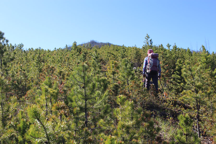
New trees begin to crowd the slope. |
|
|
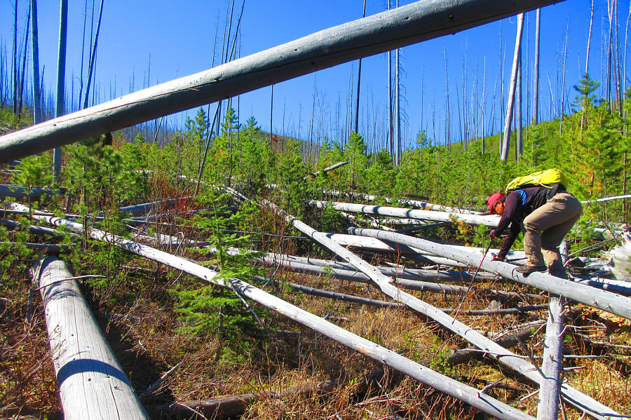
Zosia steps over a few logs hidden in the trees. In the background is Bluff Mountain. |
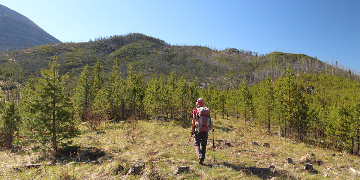
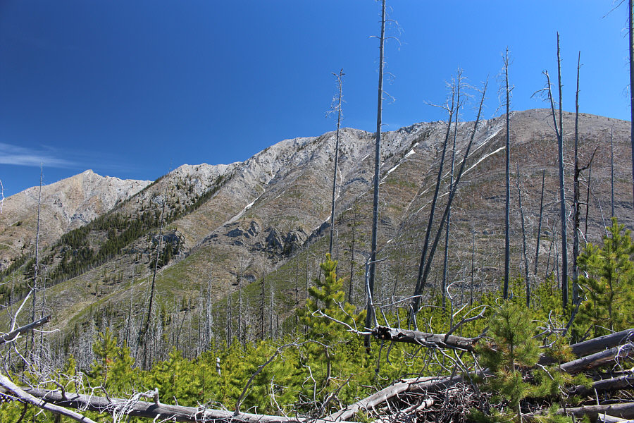
From this opening, the upper slopes of Hurtle Peak do not look very inviting.
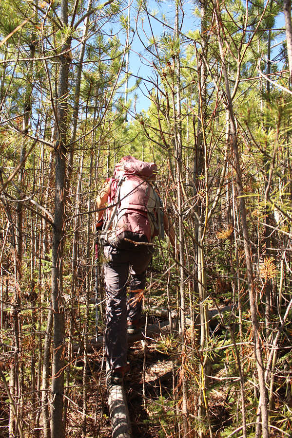 |
The bushwhacking starts to become daunting. |
 |
This is not the type of scrambling
Sonny envisioned doing here. Photo courtesy of Zosia Zgolak |
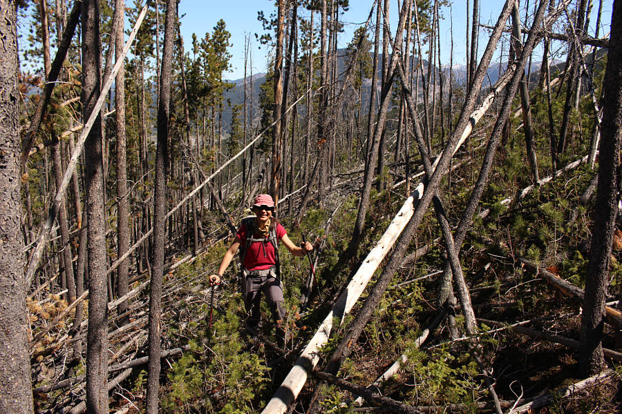 |
Somehow, Zosia is still smiling after several hours of extremely tedious bushwhacking. |
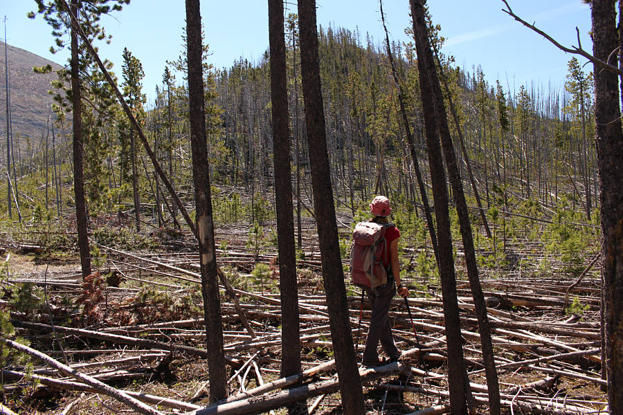 |
The top of Hurtle Peak is in sight, but there are no easy paths to get there from here. |
 |
Sonny and Zosia stand atop Hurtle Peak (1796 metres). |
 |
Turtle Mountain fills the view to the east. |
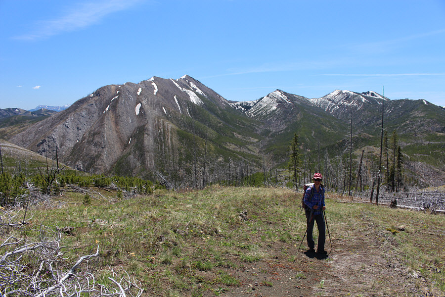 |
Visible to the south are Hillcrest Mountain, Hearts Peak, and the twin high points of Hastings Ridge. |
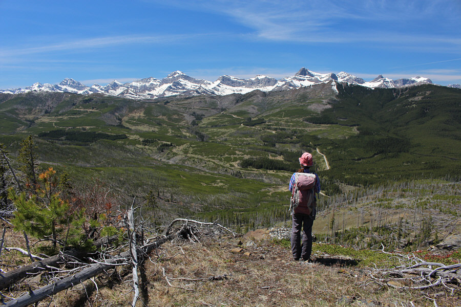 |
This bench a short distance southwest of the high point grants unobstructed views of peaks along the Continental Divide. |
This is looking northwest from the open bench.
Though overshadowed by higher peaks in the background, Star Creek Hill in the foreground (right of centre) is a worthy hiking objective.
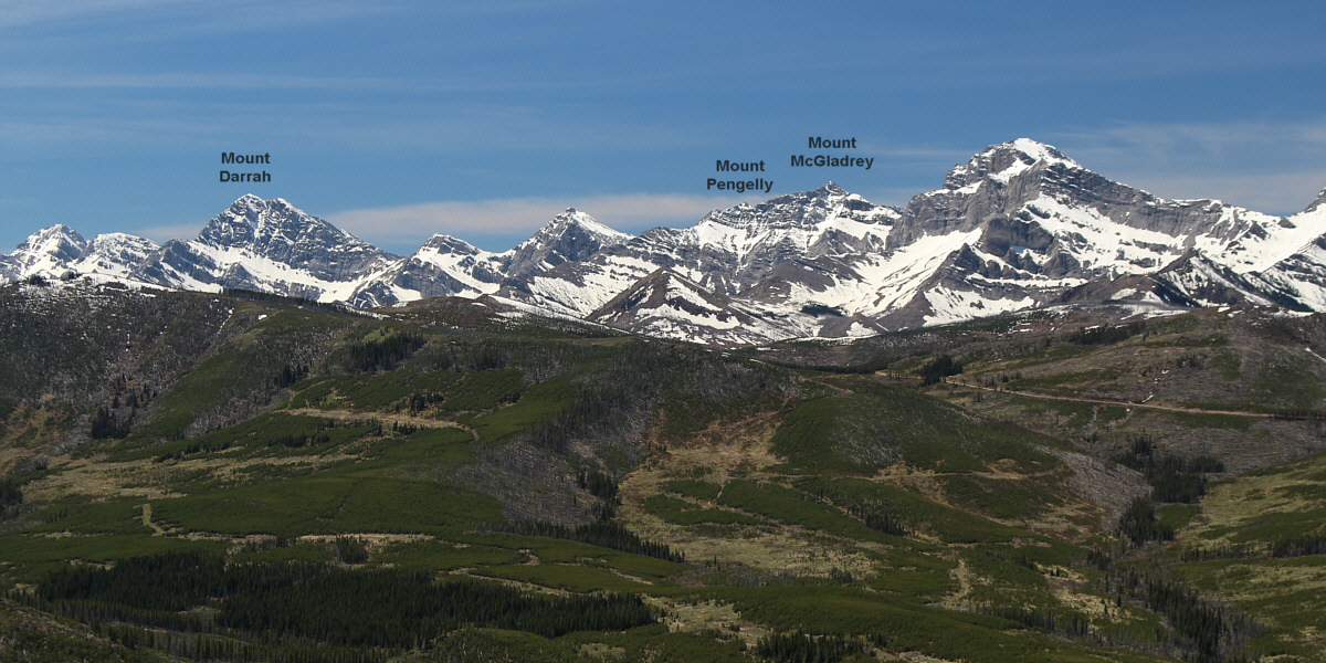
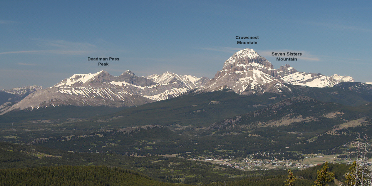
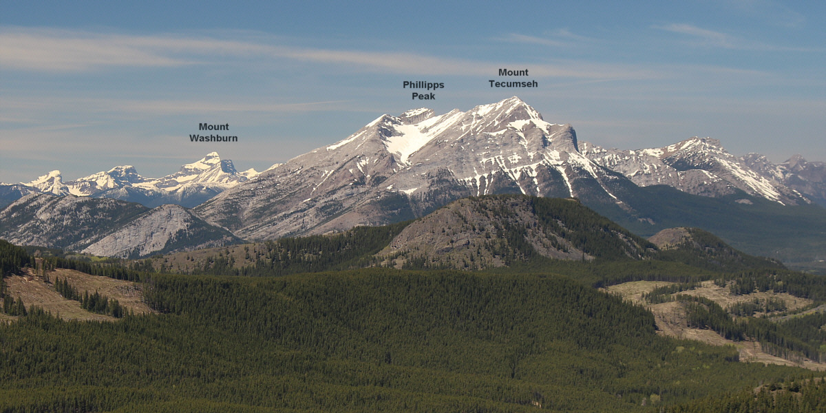
Many of the rugged peaks to the southwest are officially unnamed.
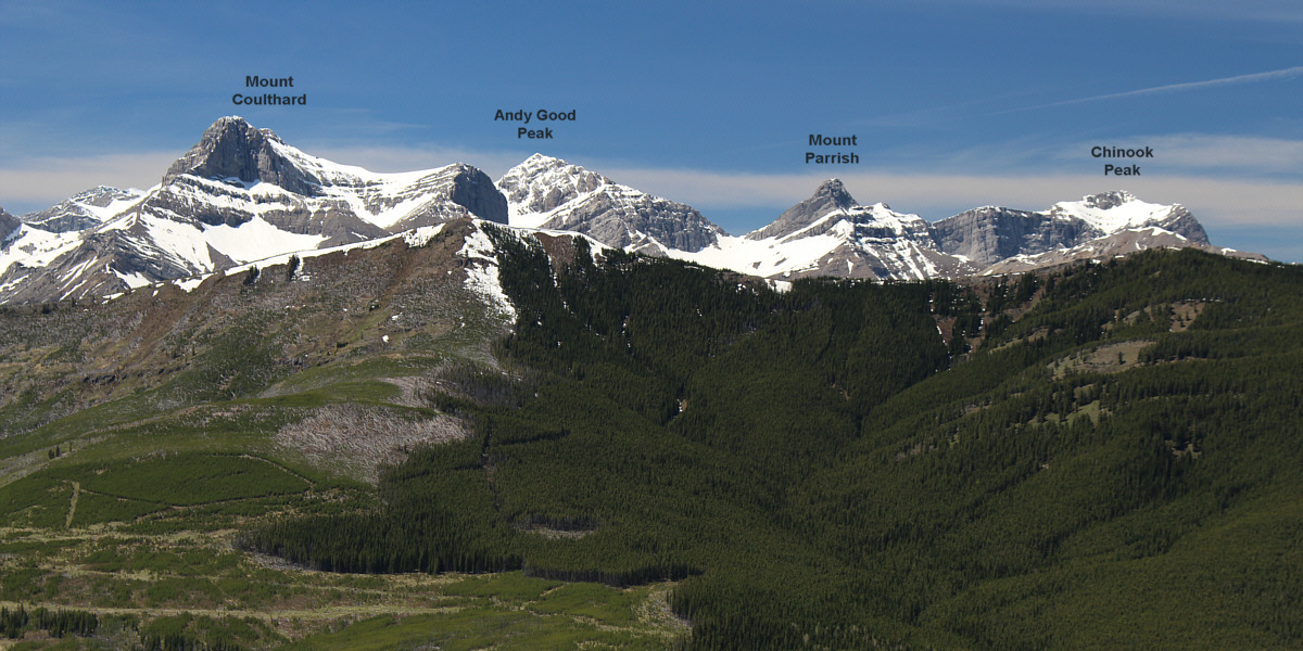
Some impressive peaks rise up behind Willoughby Ridge to the west.
 |
Zosia descends an ATV trail on the south side of Hurtle Peak. |
 |
The ATV trail conveniently cuts through all the frustrating deadfall. |
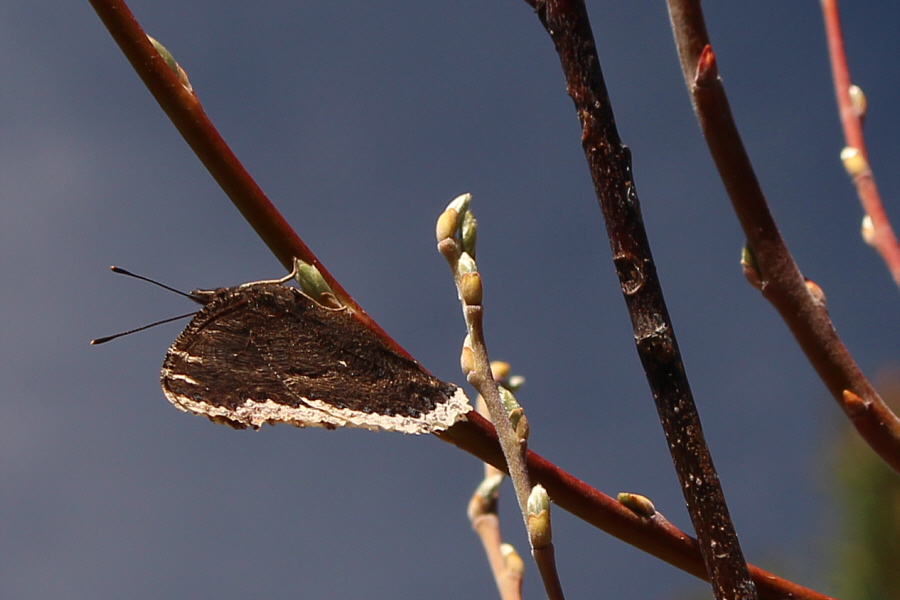 |
This mourning cloak butterfly is cleverly disguising itself as a plant leaf. |
 |
Lower down the trail, Sonny comes across a parked ATV. Photo courtesy of Zosia Zgolak |
 |
Zosia arrives at the ATV trailhead along Sartoris Road. |
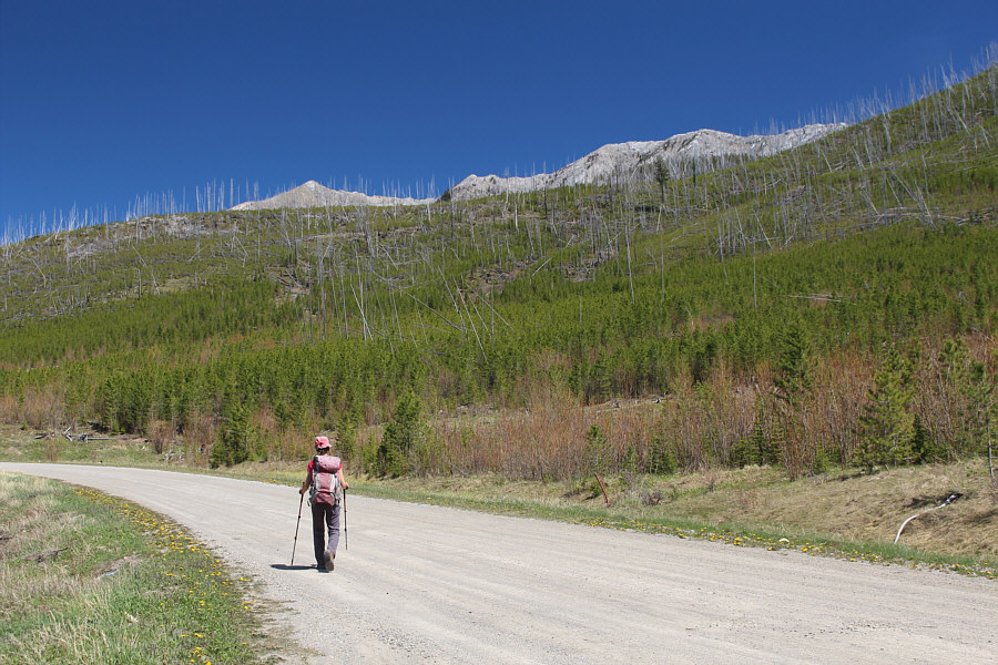 |
Zosia walks back to her starting point along Sartoris Road with the top of Turtle Mountain peeking over the intervening ridge. |
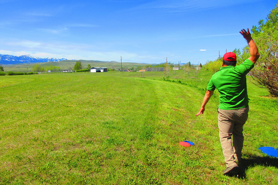 |
Sonny whips a long throw at the Lundbreck disc golf course. Photo courtesy of Zosia Zgolak |
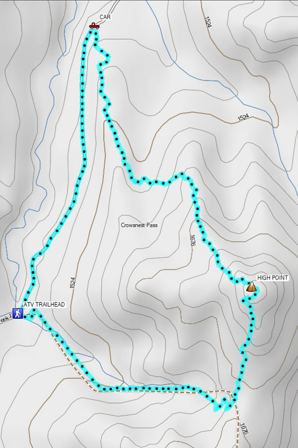 |
Total
Distance: 7.9 kilometres Round-Trip Time: 5 hours 39 minutes Net Elevation Gain: 363 metres |