
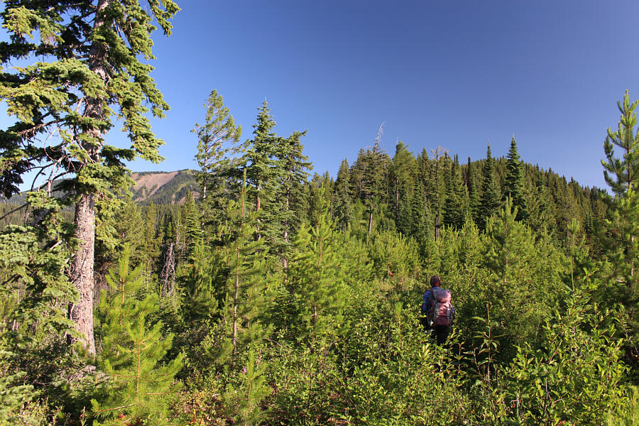
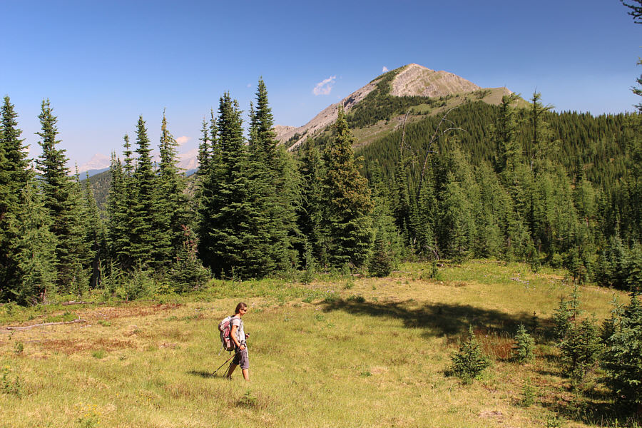
Zosia is ready to start hiking from a clearing at the end of the access road.
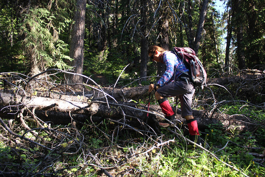
Occasional deadfall blocking the trail can be a bit annoying to bypass.

|
|
Zosia is ready to start hiking from a clearing at the end of the access road. |
|
|
The forest seemingly swallows up Zosia as she follows a trail on the ridge. |
|
|
Occasional deadfall blocking the trail can be a bit annoying to bypass. |
|
|
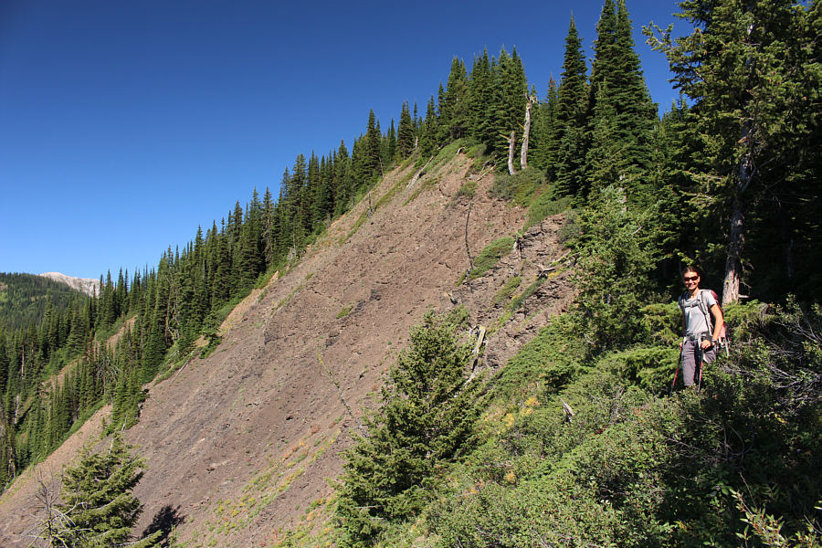
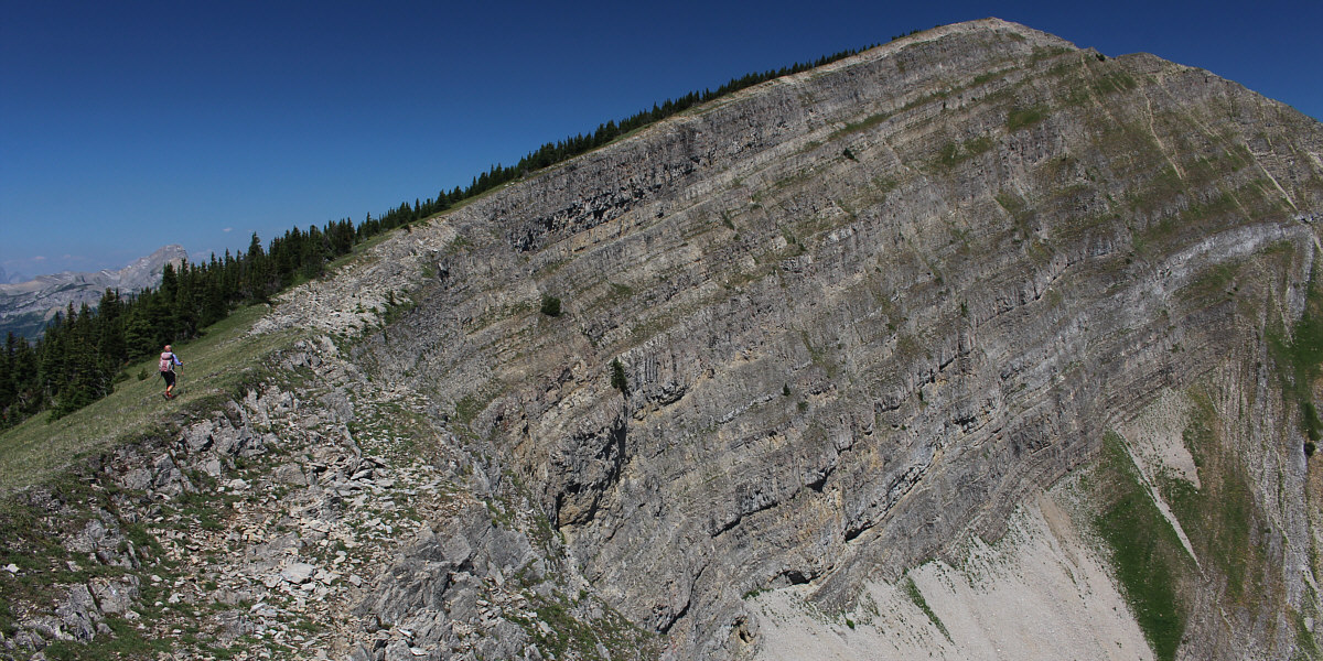
The ridge narrows here and looks bushy on the crest, but the trail is actually still easy to follow. |
|
|
Bypassing the grassy high point at upper left, the trail traverses across the forested slope to a dip in the ridge at right. The summit of Mount Kuleski is visible through the dip. |
|
|
The approach trail peters out in this large glade at the dip in the ridge. |
|
|
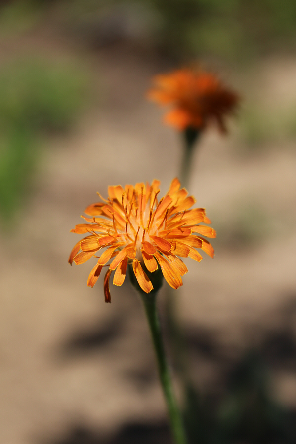
Orange false dandelions (Agoseris aurantiaca) are prolific along the ridge. |
|
|
Zosia follows a second trail across a large talus slope but is off-route here. She would soon abandon this trail and head uphill to the right. In the distance is Mount Washburn. |
|
|
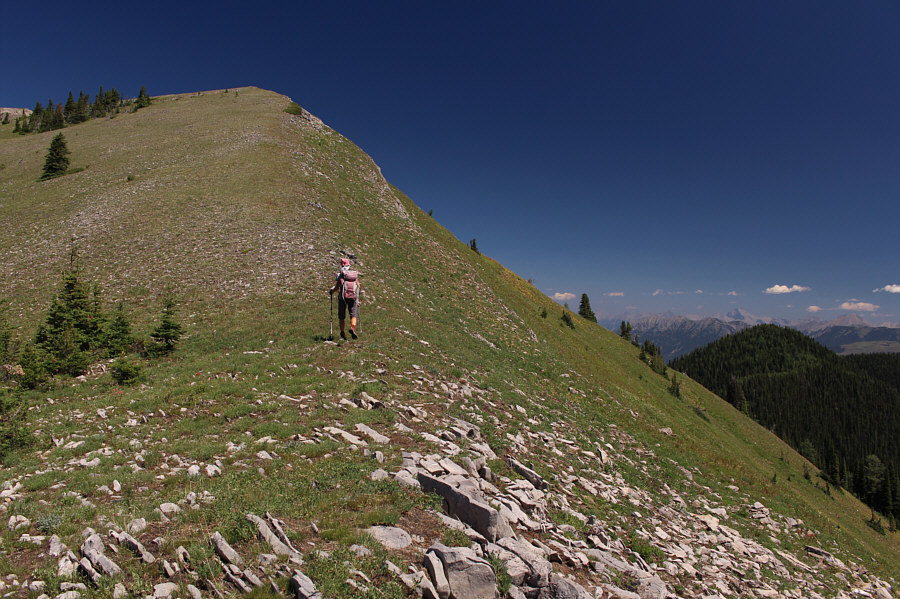
Back on track, Zosia hikes up the open ridge crest. |
|
|
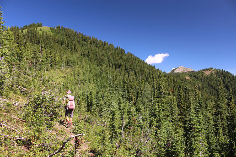
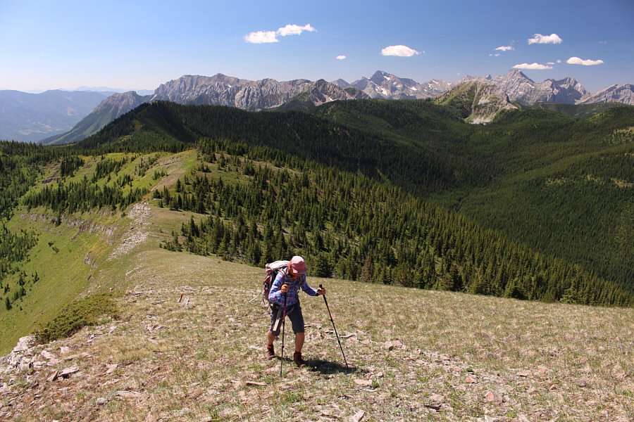
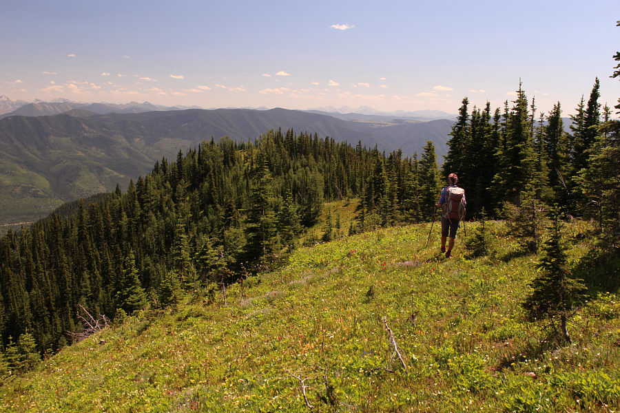
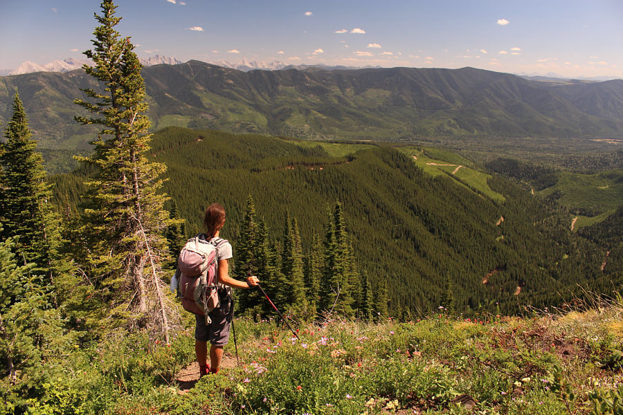
Far-reaching views begin to open up as Zosia climbs higher up the ridge. |
The remainder of the route to the summit poses no challenges.
 |
Sonny and Zosia stand on the summit of Mount Kuleski (2485 metres). |
 |
This is the view to the south. |
 |
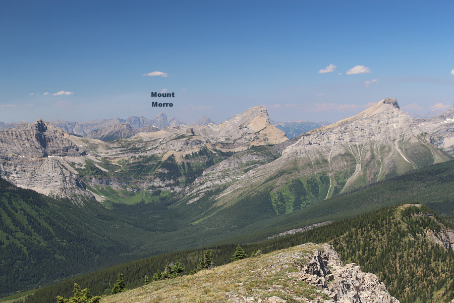
A couple of wildfires can be seen to the west. The striking peak at right is unnamed. |
 |
In this view to the northwest, the two striking peaks to the right are both unnamed. |
 |
The lower half of Mount Kuleski's northwest outlier looks rather verdant. |
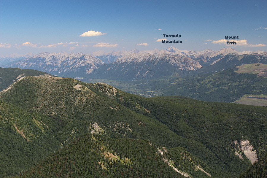 |
Tornado Mountain stands out to the northeast. |
 |
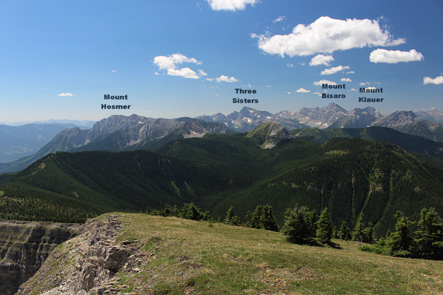
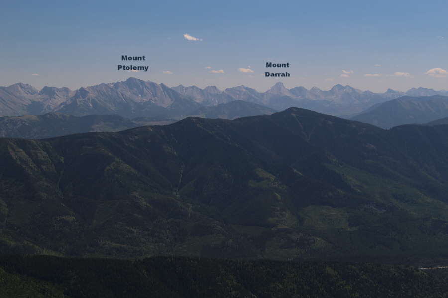
To the east are lots of familiar peaks. |
 |
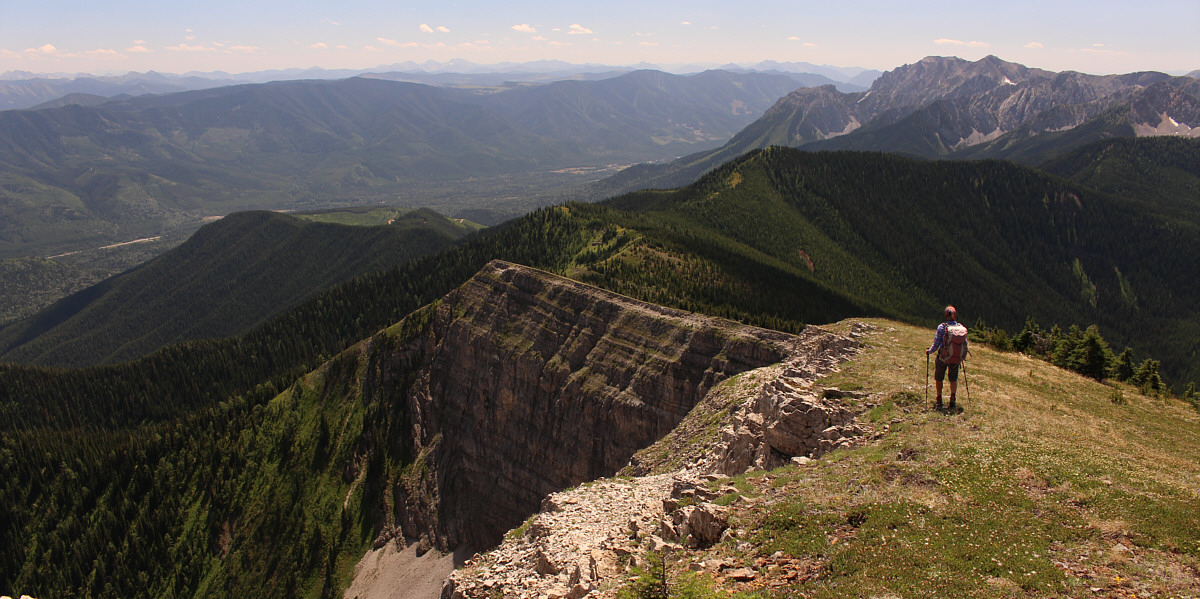
Forested Sparwood Ridge dominates the foreground in this view to the southeast. |
Zosia leaves the summit and begins her descent.
 |
Zosia walks the part of the ridge crest she missed during the ascent. |
 |
Zosia pauses at one of the last open viewpoints along the ridge on the way back. The trailhead is in the clear-cut at centre. At right is the McCool Creek drainage. |
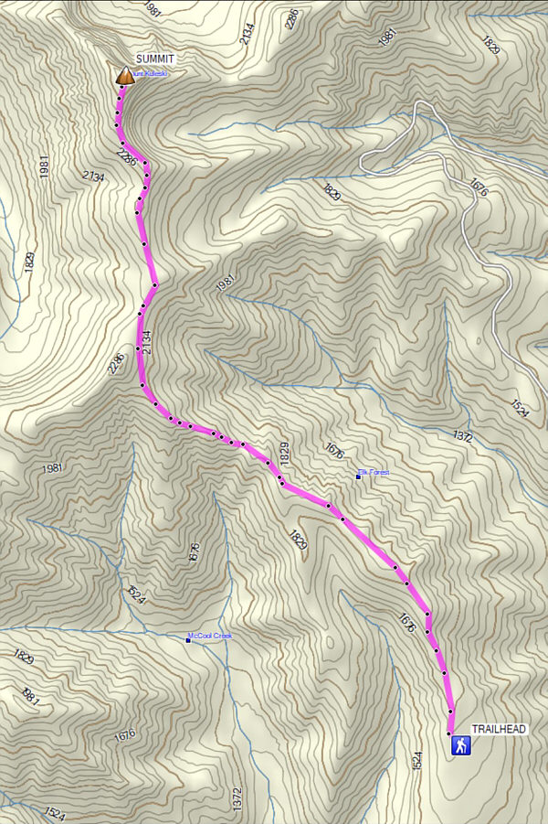 |
Total
Distance: 14.3 kilometres* Round-Trip Time: 9 hours Cumulative Elevation Gain: 986 metres *Route shown on map is approximate. |