BOU AVENUE
Pinetop Hill
Taking advantage of an overnight fresh dump
of snow, Zosia Zgolak and I made an attempt to ski up Pinetop Hill in
Alberta's Kananaskis Country Public Land Use Zone on 12 December 2021.
Probably the only reason this lowly forested bump would attract any
attention is the fact that it is an officially-named summit. Gillean Daffern briefly mentions a feasible ascent route for Pinetop Hill
in an earlier edition of her Kananaskis Country Trail Guide, but
for some reason, the route and its associated hike--a connector trail
between West Bragg Creek and Homestead Road--have been omitted from the
newest edition. Matthew Clay and Alison Sekera completed a snowshoe
ascent in 2018, and in spite of a less-than-glowing endorsement from both
of them, we
were eager to see what Pinetop Hill was like for ourselves.
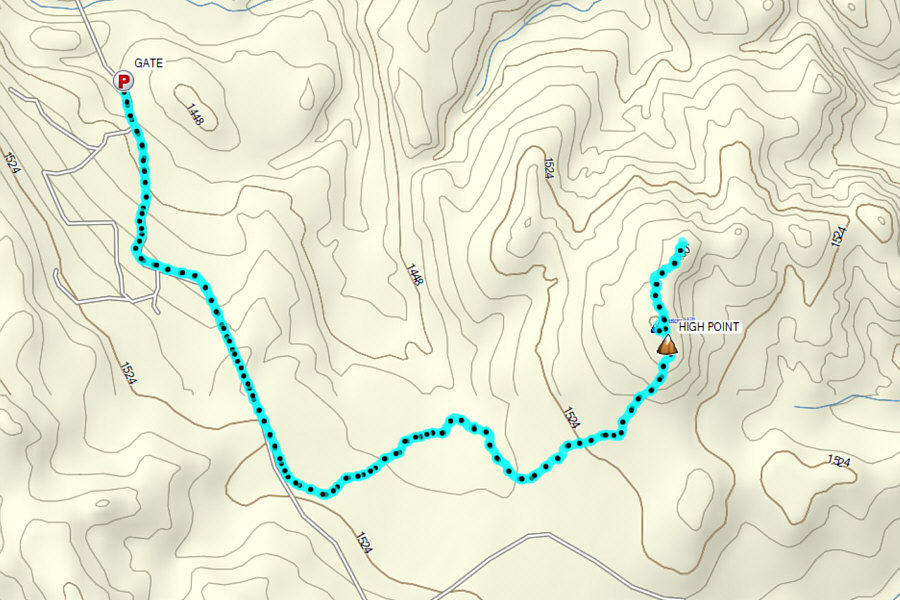
From Trans-Canada Highway, turn south onto Highway 68 and drive 17
kilometres south and then west to a junction with Homestead Road. Turn left (south) and
drive 4.9 kilometres to a locked gate replete with warning signs.
Park in a pullout just before the gate. Although both Highway 68
and Homestead Road are normally suitable for 2WD vehicles when dry,
winter conditions can potentially make travel on both roads difficult if
not impossible.From where we
parked along Homestead Road, Zosia and I skied around the locked gate and
continued up the hill beyond. In retrospect, the warning signs at
the gate probably pertain to the shooting ranges on the leased land west
of Homestead Road while everything to the east of the road is public
land. Although I am not a land titles expert, it is my
understanding that if a lease boundary follows an existing road--in this
case, Homestead Road--then the actual boundary line usually runs right
down the middle of the road. In any case, we chose not to worry
about the legality of continuing past the gate, and we were soon enjoying
some fabulous skiing on the road which was covered with several
centimetres of freshly fallen snow. Someone with access to the gate
had driven up the road before us, and as such, we could ski in the tire
tracks without having to break trail. About a kilometre from the
gate, we branched off to the left onto a secondary road which is also
gated. The tire tracks we were following circumvented
this second gate and continued along the secondary road which allowed us
to keep skiing with minimal effort. A short while later, we
encountered a truck--presumably the one that had made our convenient
tracks--going back out. The driver stopped for a friendly chat with
us and appeared surprised to see us skiing along this road. He told
us that he was a trapper and that he came here every day to check his
trapline. Oddly enough, he seemed unfamiliar with Pinetop Hill when
I mentioned where we were heading.
Once the trapper departed, Zosia and I
continued skiing along the secondary road until we reached a junction
with a cut line access road branching off to the left. This obvious
junction is about 1.5 kilometres beyond the second gate. Abandoning
the nice tire tracks we had enjoyed skiing on up to this point, we turned
eastward to follow the cut line access road which was a lot more
challenging to ski due to the thin snow coverage and numerous dips and
deadfall. After muddling along with some difficulty for about a
kilometre, we finally stopped to strap on climbing skins which made it
easier to maneuver through the uneven terrain here. We
skied another kilometre before entering a vast cut block situated on the
south side of Pinetop Hill. Although we could have skied all the
way up Pinetop Hill, the poor snow coverage here would have made it a
chore, and we found it easier to just ditch our skis and walk.
Contrary to what is shown on some
topographical maps, the true high point of Pinetop Hill is the first
obvious semi-open bump near the north edge of the cut block. When
Zosia and I got there, we were not entirely sure if it was the highest
point since my GPS unit's map erroneously shows a couple of higher
contour lines further north. Since we had plenty of daylight left,
we made the extra effort to investigate the other high points, and as it
turned out, none of them were higher than the first bump. Satisfied
that we had tagged all the potential high points on Pinetop Hill, we
returned to the first bump and stopped for a quick bite before walking
back through the cut block to pick up our skis. We kept our skins
on for the entire ski back along the cut line access road, and while we
had no serious problems, the skiing here understandably felt slow and
tedious. However, things improved once we regained the familiar
tire tracks on the secondary road. We stripped off our skins here
and enjoyed some fine cruising back to the junction with Homestead Road
and subsequently to our starting point. The first gate was even
conveniently open as we sailed down the final glorious hill right to our
parked car.
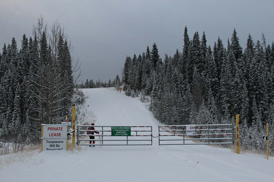 |
Zosia skis past a locked gate along Homestead Road to start the trip.
The land to the right (west) of the road is leased to the Alberta
Provincial Rifle Association. Everything to the left (east) of the
road is public land. |
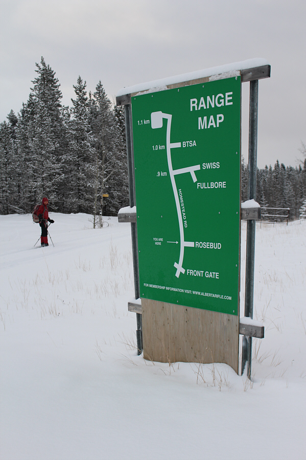 |
Four different clubs operate shooting ranges in the leased area:
Buffalo Target Shooters Association, Swiss Rifle Club Calgary, Alberta
Fullbore Rifle Association, and Rosebud Silhouette and Benchrest Club. |
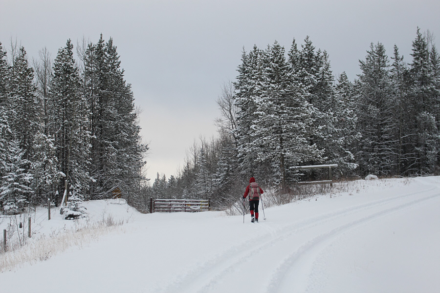 |
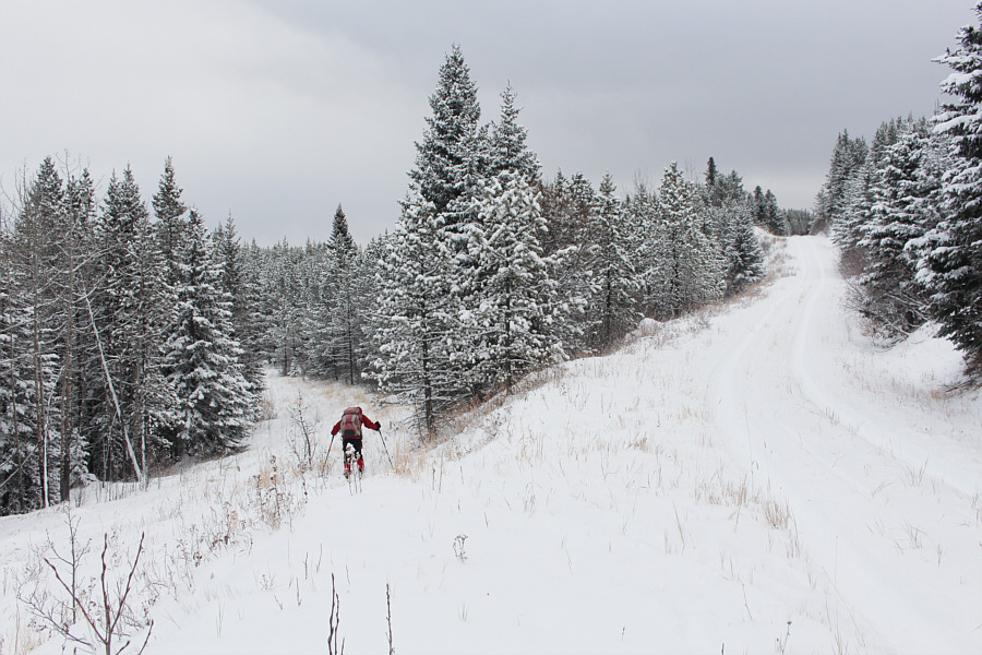
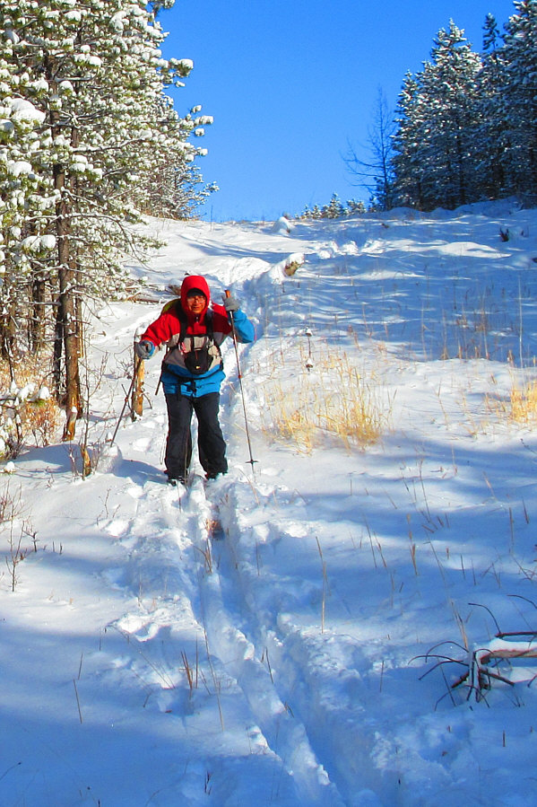
Zosia leaves Homestead Road to follow a secondary road. The tire
tracks actually detour into the trees and continue beyond the gate. |
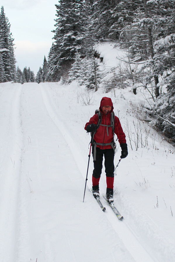 |
Zosia cruises along the secondary road. |
 |
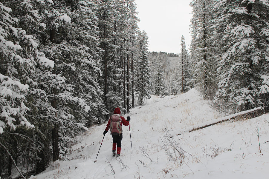
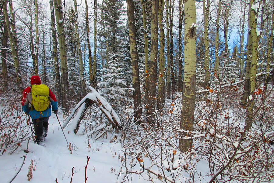
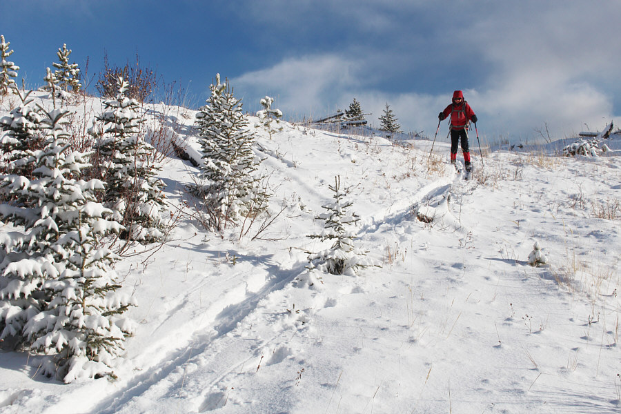
Leaving the secondary road, Zosia finally has to break trail as she
follows a cut line access road. |
 |
Travel along the cut line access road is tedious at times due to an
abundance of deadfall. |
 |
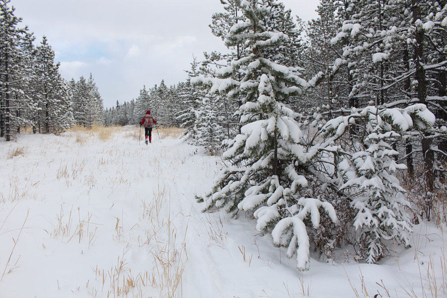
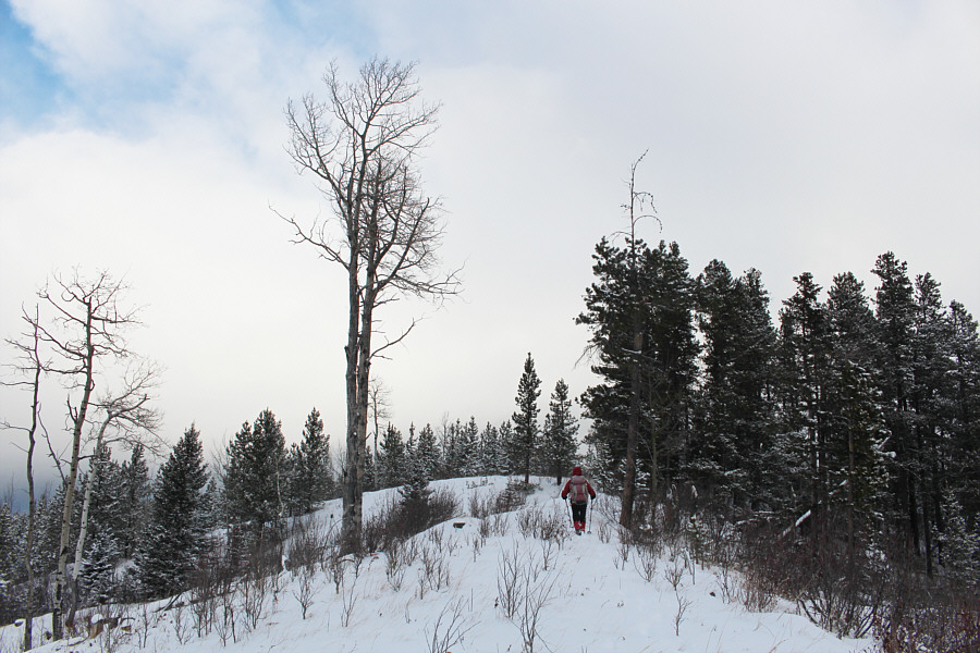
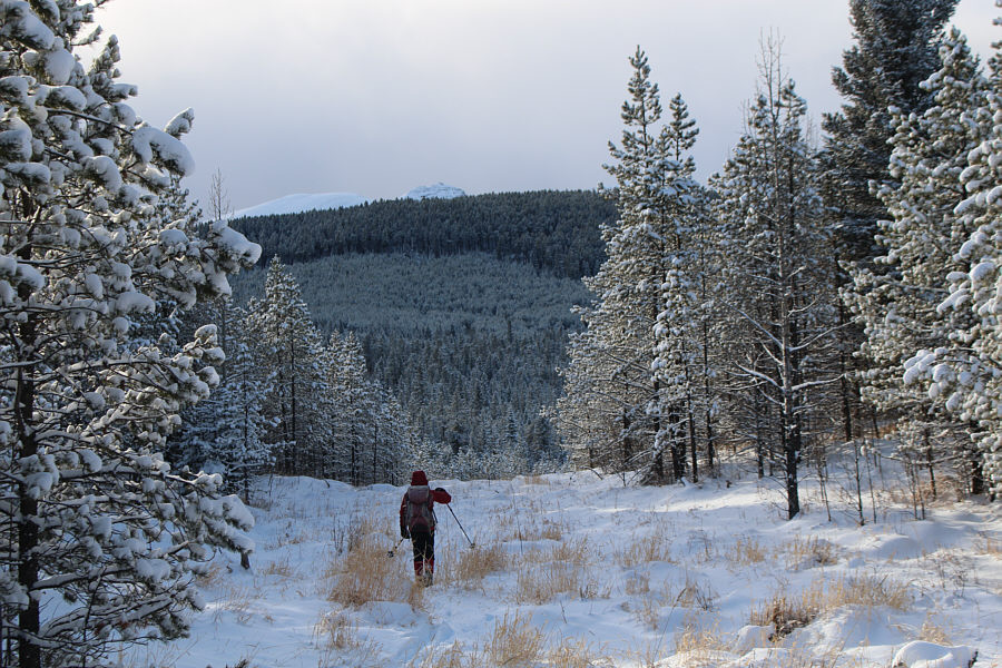
Part of Pinetop Hill can be seen in the distance as Zosia continues to
follow the cut line access road eastward. |
 |
The fresh snow here is unlikely to remain for the entire winter. |
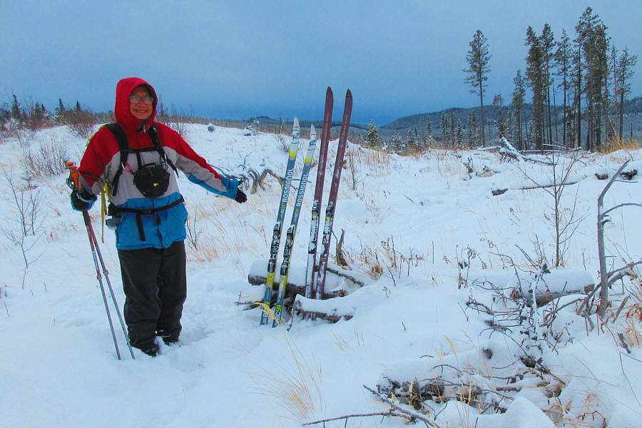 |
Sonny decides to set up a ski shop in
the middle of this cut block.
Photo courtesy of Zosia Zgolak |
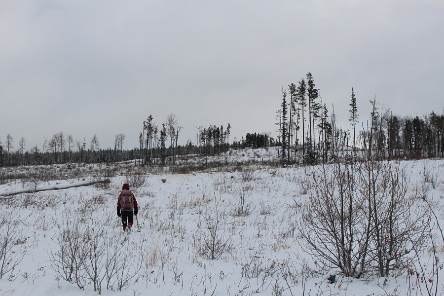 |
After ditching her skis, Zosia proceeds to hike the rest of the way up
Pinetop Hill. |
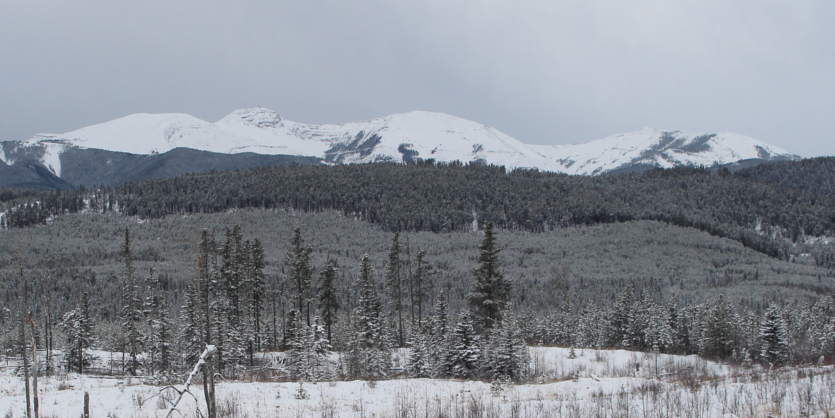
The cut block on the south side of Pinetop Hill grants
a good view of Moose Mountain (left) and its
north
peak (centre).
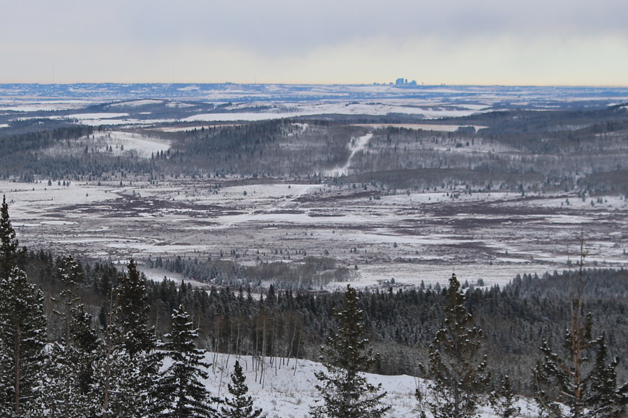 |
The skyscrapers of downtown Calgary stand out on the eastern horizon. |
 |
Zosia approaches the semi-open highest point of Pinetop Hill (1599
metres). |
 |
Sonny bushwhacks northward to investigate other possible high points on
Pinetop Hill.
Photo courtesy of Zosia Zgolak |
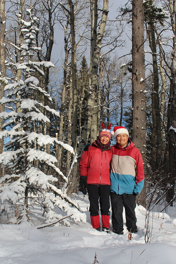 |
Wearing festive headgear, Zosia and Sonny stand on the viewless northern
high point (1594 metres) of Pinetop Hill. |
 |
After a quick lunch break, Zosia heads back down into the cut block to
retrieve her skis. |
 |
Zosia leaves the cut block and skis down a short hill. |
 |
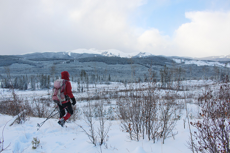
Zosia carefully skis out along the cut line access road while the top of
Moose Mountain barely peeks over the intervening forested ridge. |
 |
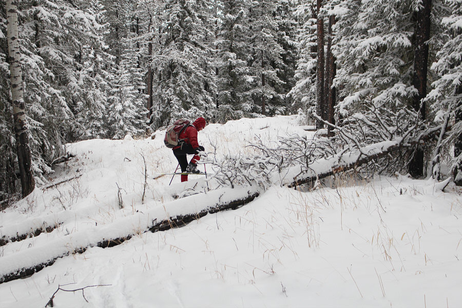
Wary of rocks hidden under the thin snow cover, Sonny cautiously descends
this downhill section.
Photo courtesy of Zosia Zgolak |
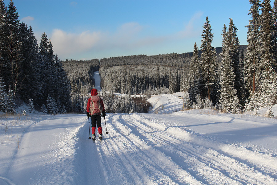 |
Back on Homestead Road, Zosia is about to descend the last hill back to
the starting point. |
 |
Total
Distance: 12.0 kilometres
Round-Trip Time: 5 hours 11 minutes
Cumulative
Elevation Gain: 339 metres
GPX Data |