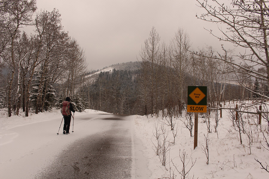
Zosia hikes down the paved road to access Sheep River. In the background is Mount McNab.

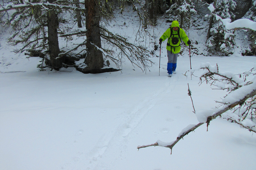
Despite some gaping holes, the ice on Sheep River is still solid enough for Sonny to walk across.
Photo courtesy of Zosia Zgolak
|
|
Zosia hikes down the paved road to access Sheep River. In the background is Mount McNab. |
|
|
Despite some gaping holes, the ice on Sheep River is still solid enough for Sonny to walk across. Photo courtesy of Zosia Zgolak |
|
|
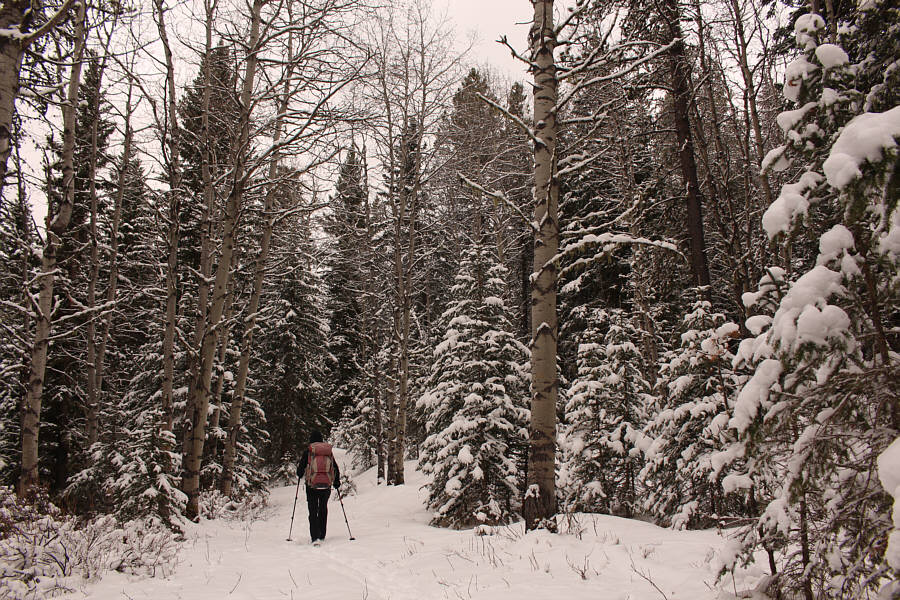
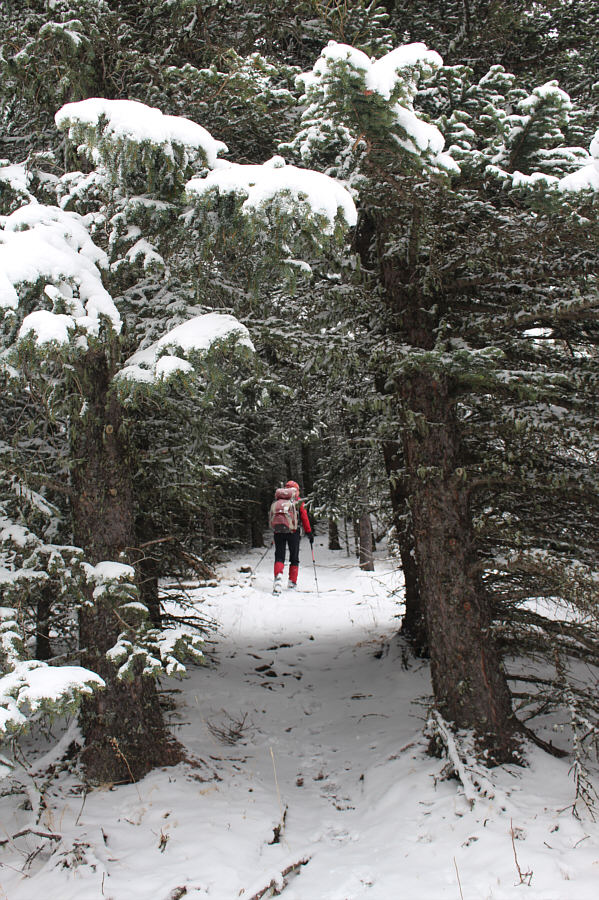
Zosia hikes through a winter-like wonderland along Wolf Creek Trail. |
|
|
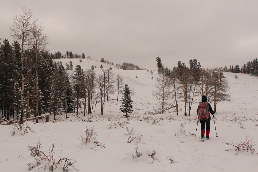
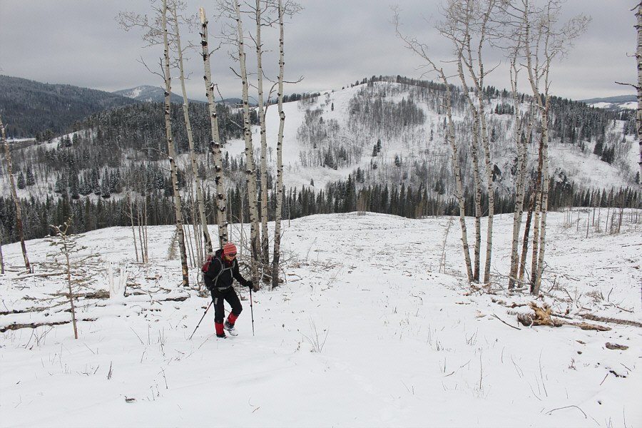
After breaking out of the forest, Zosia leaves the trail to head up Wolf Creek Hill at left. |
|
|
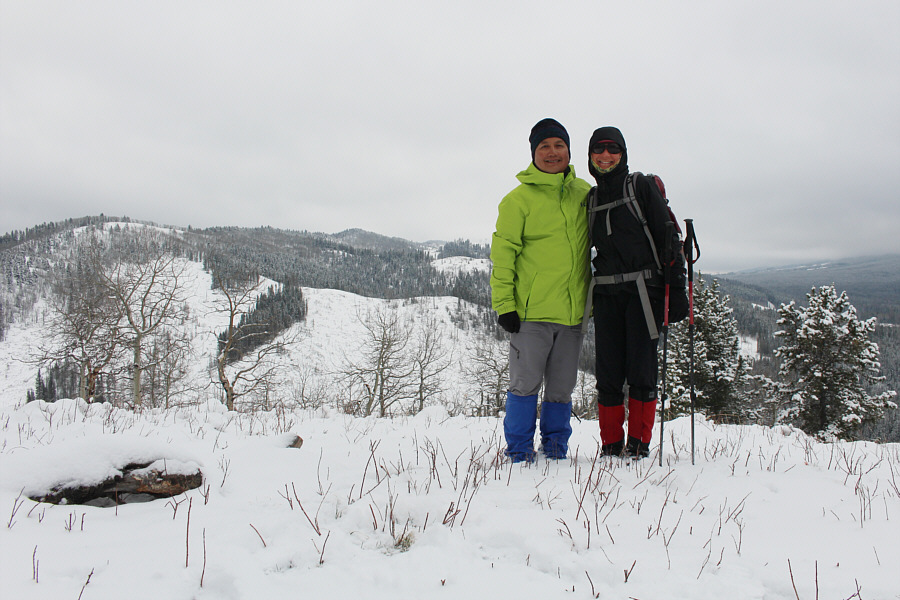
Sonny and Zosia stand on the high point of Wolf Creek Hill (1534 metres). |

To reach Channel Ridge behind her, Zosia will drop down to cross Wolf Creek and then climb up the cut block at centre before gaining the ridge crest at left.
Zosia and I paused on top of Wolf Creek Hill only long enough for a requisite photo before descending its south side. Near the bottom, we intersected a trail and followed it briefly westward before abandoning it to drop down an embankment. We soon reached frozen Wolf Creek, and although we were able to walk across, the ice here felt a bit unreliable. Climbing through the trees on the far side, we then entered a large cut block and worked our way uphill to gain a broad ridge connected to the north end of Channel Ridge. Besides the tedium of walking through debris in the cut block, we also encountered a few patches of unsupportive deep snow here, but fortunately, the post-holing was short-lived. Once we gained the north end, we simply followed the crest of Channel Ridge southward for a little over three kilometres to tag the forested high point. There are some minor undulations along the ridge, but generally, the hiking is pretty straightforward here. Some sections of the ridge have apparently been logged recently, and although this opens up more far-reaching views, the remaining slash is a bit ugly to walk through. When we reached the cairn marking the high point, we hiked past it for a couple hundred metres before backtracking to stop for a photo and a snack break.
 |
Sonny cautiously crosses frozen Wolf Creek. The ice here is a bit unreliable. Photo courtesy of Zosia Zgolak |
 |
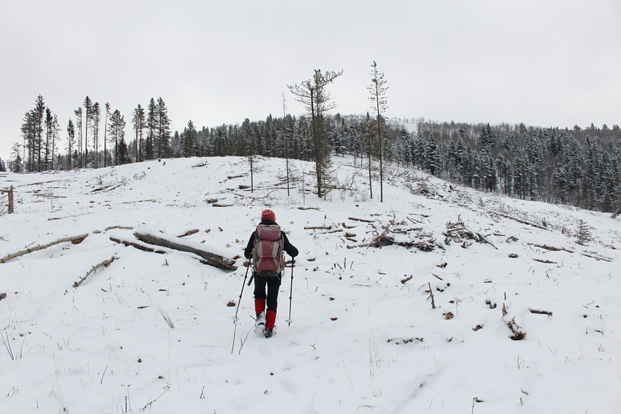
Zosia heads up a vast cut block. |
 |
Here is a look back at Wolf Creek Hill from the cut block. |
 |
Zosia aims for the north end of Channel Ridge which is directly ahead. |
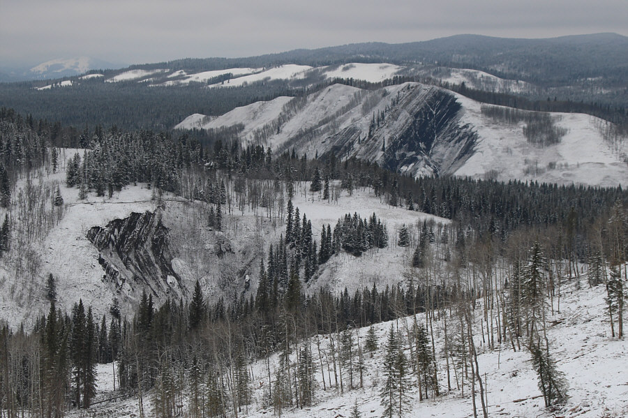 |
Some black shale (possibly coal deposits) can be seen on a couple of steep embankments to the north. |
 |
Zosia gains the north end of Channel Ridge. Visible at left is Wolf Creek Hill. |
 |
Despite a lot of trees on Channel Ridge, the hiking here is generally easy. |
 |
Large sections of the ridge crest appear to have been recently logged. |
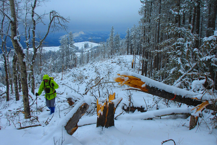 |
Something snapped this tree like a toothpick. Photo courtesy of Zosia Zgolak |
 |
Zosia finds a milk crate oddly fixed to a tree trunk. |
 |
Zosia and Sonny stand beside a snow-covered cairn on the presumed high point of Channel Ridge (1714 metres). |
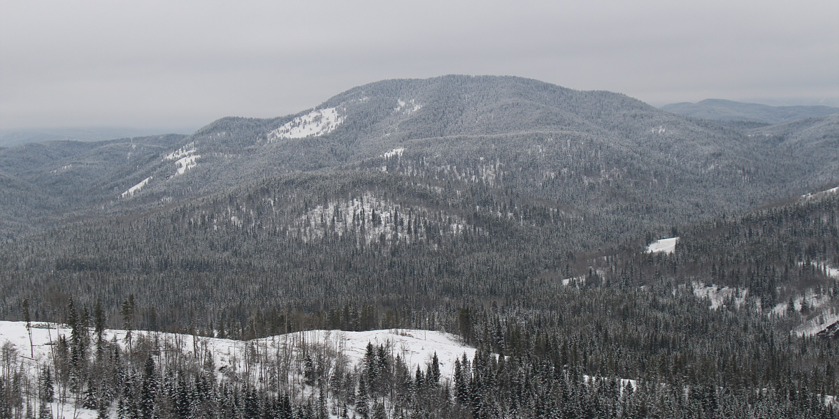
A clearing near the north end of Channel Ridge grants this unobstructed view of Mount Dyson.
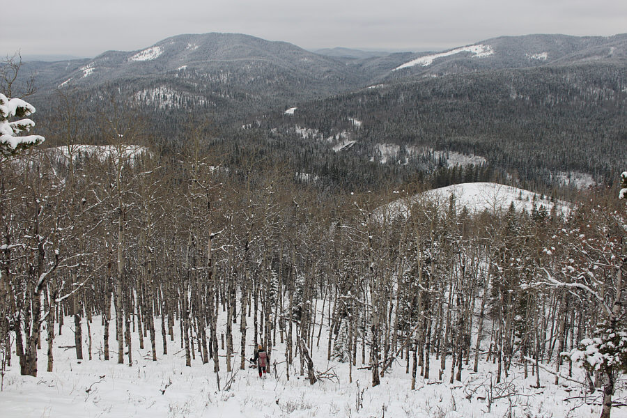 |
Zosia descends through a forest of aspen trees. |

After being obscured by low clouds for much of the day, the top of Blue Ridge finally appears.
 |
Zosia crosses Sheep River for a second time. |
 |
Total
Distance: 16.9 kilometres Round-Trip Time: 7 hours 6 minutes Cumulative Elevation Gain: 745 metres |