BOU AVENUE
Chilco Mountain (North Chilco Mountain)
Zosia Zgolak and I ascended Chilco Mountain in the Coeur D'Alene Mountains of northern Idaho on 23 August 2022.  Also commonly referred to as North Chilco Mountain, this officially-named peak is about eight metres shorter than nearby South Chilco Mountain but has a superior summit view (the summit of South Chilco Mountain is completely forested).  A good trail runs all the way to the summit of Chilco Mountain and is described in Seabury Blair Jr.'s guidebook, Day Hike! Spokane, Coeur D'Alene & Sandpoint.

From Highway 95, take Exit 446, 47.0 kilometres south of the interchange with Highway 2 in Sandpoint or 24.0 kilometres north of the junction with I-90 in Coeur D'Alene.  Drive east on Bunco Road for 3.9 kilometres and turn left (still Bunco Road; straight is Nunn Road).  Drive north for 1.6 kilometres to the junction with Bohn Road and keep right as Bunco Road bends to the east again.  Drive 6.3 kilometres to a hairpin turn where Bunco Road becomes Forestry Road 332 (the pavement soon downgrades to 2WD gravel).  Continue driving for 6.6 kilometres to a junction.  Stay straight (right) and drive another 2.7 kilometres to a junction with Forestry Road 385.  Park here on the side of the road.  The unsigned trailhead is in the southwest corner of the junction.

I was a little surprised to see a couple other vehicles at the trailhead as Zosia and I began our hike especially since it was a weekday.  Apparently, Chilco Mountain is more popular than I had thought possibly because of the easy access.  In any case, we had no problems hiking the moderately steep trail which rises up a forested slope to the crest of Chilco Mountain's north ridge.  On the crest of the north ridge, we made a brief detour to a semi-open viewpoint before reaching a signed junction.  The right-hand trail leads to South Chilco Mountain, but we went left and soon broke out of the forest onto open slopes with far-reaching views.  The remainder of the trail to the summit is a bit rocky in places but still easy to hike.

After tagging the summit among the remnants of a fire lookout, Zosia and I backtracked a bit and took a short break in the shade of some trees before continuing our descent.  Retracing our steps, we had no issues hiking back to the trailhead.
Watch out! There is a surprising amount of traffic on this road.

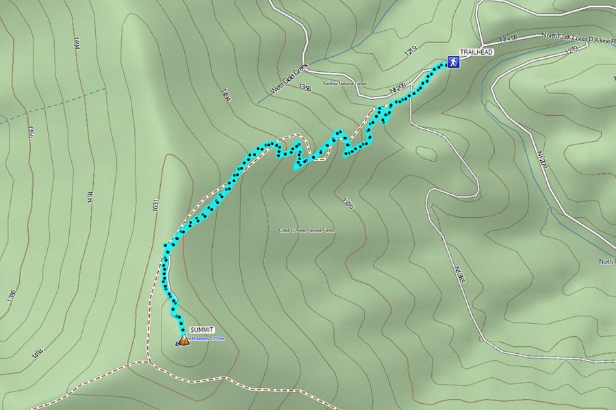
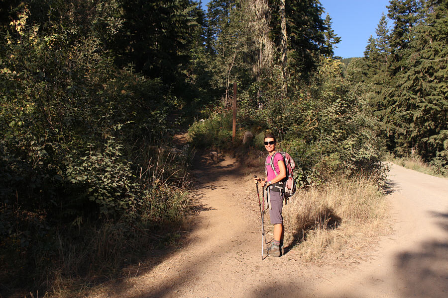
Zosia begins hiking at the unsigned trailhead.

It looks like part of the sign got cut off--hence, the handwritten direction for "N. Chilco Pk".

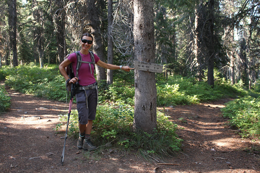
The trail to Chilco Mountain goes left at this signed junction.

Be careful walking on all the ankle-breaking rocks here! Zosia breaks out of the forest near the top.
Pretty nice for such minimal effort!

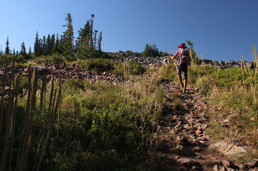
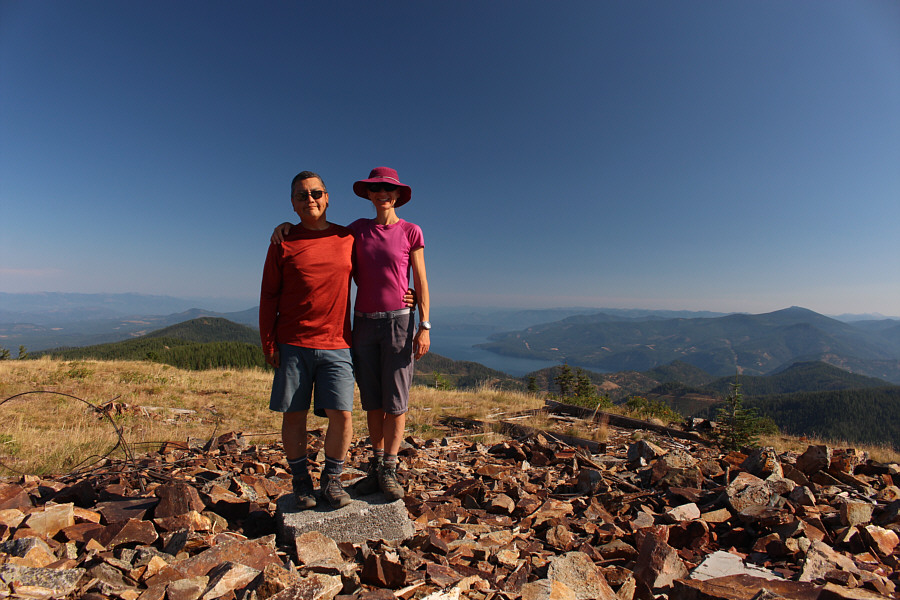
Sonny and Zosia stand on the summit of Chilco Mountain (1704 metres).

Surprisingly, there are lots of officially-named summits out there. Numerous forested ridges and mountains stretch away to the southeast.
Yep, we don't need to go there!

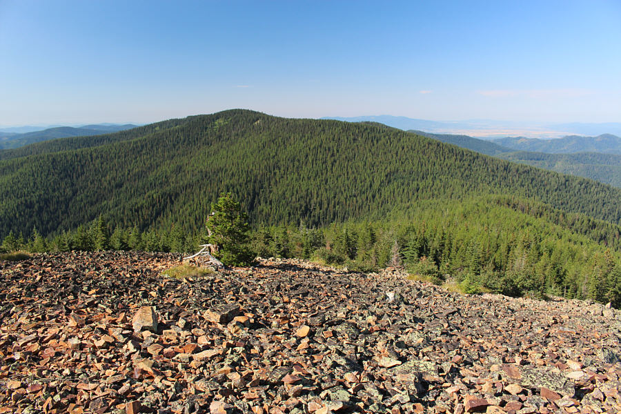
South Chilco Mountain is higher, but its summit is apparently viewless.

Something about the Idaho panhandle keeps me coming back!

Besides Lake Pend Oreille, the most prominent landmark to the north is Packsaddle Mountain (right).


Barely worth the drive but still a good "rest day" objective. Total Distance:  6.3 kilometres
Round-Trip Time:  2 hours 59 minutes
Net Elevation Gain:  442 metres

GPX Data