BOU AVENUE
Lusk Ridge East

On 29 October 2022, Bob Spirko and Zosia Zgolak organized a Halloween-themed hike up Lusk Ridge East in Alberta's Kananaskis Country Public Land Use Zone.  Part of their planned route is described in Gillean Daffern's Kananaskis Country Trail Guide, but for the most part, they would be relying on a route found on Open Topo Map which approaches from Sibbald Meadows Pond to the north.  Joining them were Rafal (Raff) Kazmierczak, Dinah Kruze, Shaun Luong, Glenda Macleod, Christine Mcnamara, Shelley Milutinovic, Bob Parr, Aga Sokolowska, Marta Wojnarowska and me.

Rendezvousing at Sibbald Meadows Pond Provincial Recreation Area (north side of Highway 68, 7.6 kilometres east of junction with Highway 40 or 29.0 kilometres south and west of junction with Trans-Canada Highway), Raff, Dinah, Shaun, Glenda, Christine, Shelley, Bob P., Aga, Bob S., Marta, Zosia and I walked back to the turnoff and crossed to the south side of the highway.  We were not sure if there would be a trail that we could follow, and after a short and fruitless search, we basically plunged into the forest and bushwhacked uphill.  Fortunately, the bush was relatively light, and we made good progress up the prominent ridge to the southeast of Sibbald Meadows Pond.  Part way up the ridge, we picked up a flagged path which led us to a clear-cut.  We continued following the path until it disappeared in a huge slash atop Lusk Ridge East.  The remainder of the walk through the slash to the high point (HP1) was a bit unpleasant but easy.  A cairn with a geocache marks the high point of Lusk Ridge East, but a chilly breeze made it too uncomfortable to linger.  We were soon on the move again heading toward another high point (HP2) to the west.  After dropping into a slight dip, we picked up another path and had no difficulty hiking up the east side of HP2.  Contrary to appearances from afar, HP2 is surprisingly open and grants some far-reaching views.  At the same time, there were enough trees here to provide shelter from the wind, and we all stopped for an extended break while a lot of chocolate treats were being passed around.

When our break on HP2 ended, Dinah, Glenda, Christine and Bob S. opted to depart and return the way we came while the rest of us pushed on to yet another high point (HP3) further west.  This entailed dropping into another dip and then scrambling through a short cliff band guarding the top of HP3.  The west side of HP2 is steeper and more rugged than expected, but it was still not that difficult to descend.  The cliff band on HP3 was slightly trickier to surmount due to accumulated snow, but we managed to get up a snowy ramp to climber's right.

Raff, Shaun, Shelley, Bob P., Aga, Marta, Zosia and I stopped atop HP3 only long enough for a few requisite photographs before retreating back down the cliff band.  We were originally planning on retracing our steps over HP2, but not far below the cliff band, we stumbled onto a flagged trail descending to the north.  We were not expecting a trail here, but it appeared to have been recently cleared of deadfall.  Taking a chance, we followed this trail which essentially drops into the drainage west of our ascent ridge and runs all the way out to the highway.  Descending the unexpected trail turned out to be easy and uncomplicated, and we emerged from the forest not far from where we entered it earlier in the day.  A short walk to our parked cars at Sibbald Meadows Pond concluded our hike.

A big thank you goes out to Bob S. and Zosia for organizing this very fun and surprisingly scenic trip.  Where are we going next Halloween?

Be sure to check out Bob S.'s trip report here.
Hmmm...looks like we're in for some scary bushwhacking...

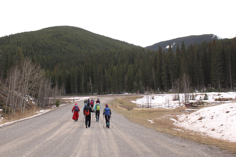
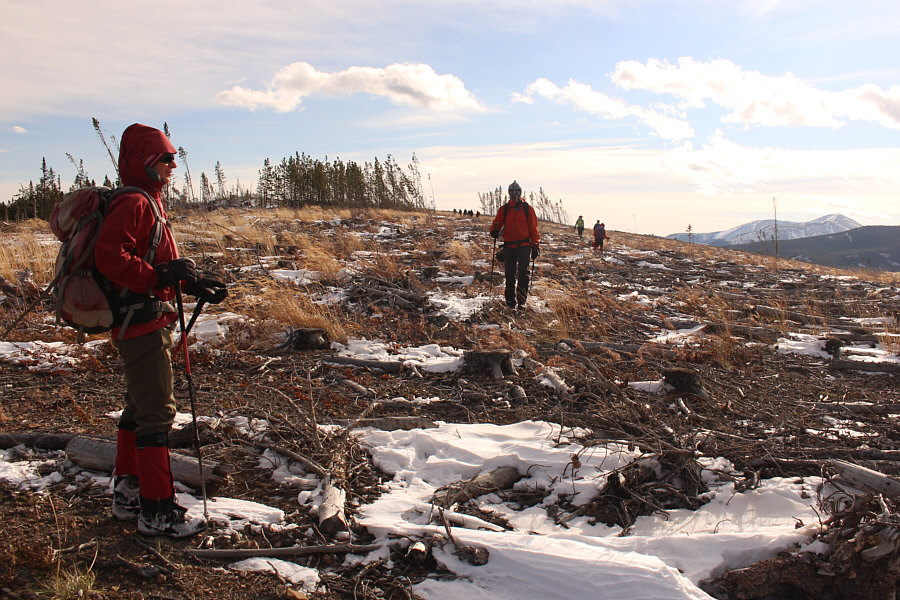
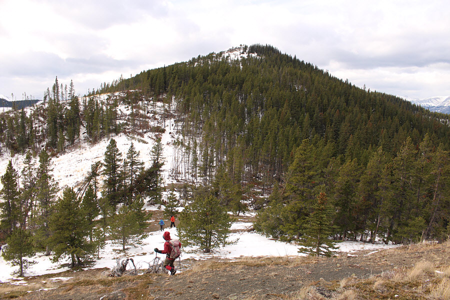
The group heads for the ridge on the left.  At distant right is the second high point (HP2) that the group would later ascend.

It looked like an aircraft canopy!

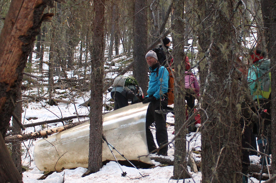
Partway up the forested ridge, Raff finds an acrylic glass sheet with a fallen tree on it.

Maybe some ancient forgotten erratics? The group passes the first of several boulders higher up the ridge.

Guess who's in costume and who's not!

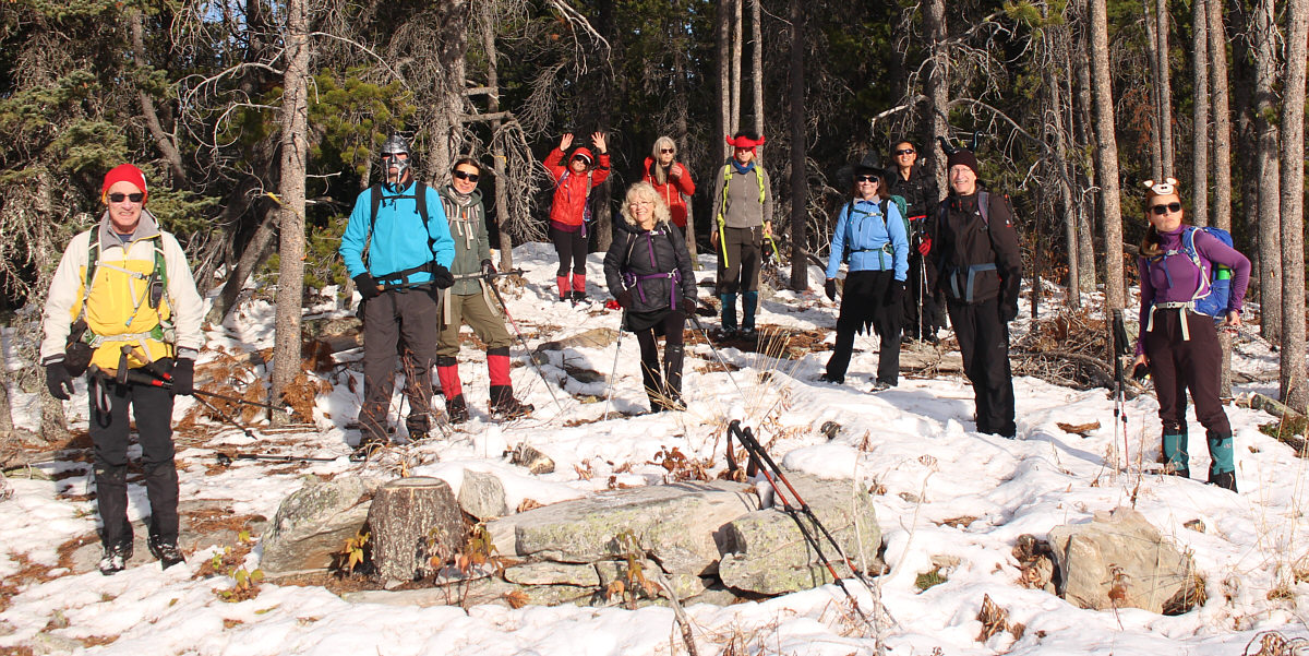
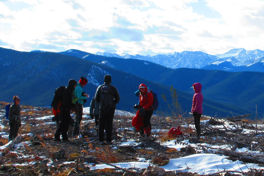
The group enjoys some warm sunshine at the edge of a clear-cut.


Hey Raff, two minutes for looking so good!

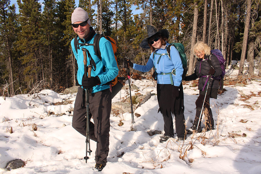
Raff, Dinah and Shelley appear to be enjoying the hike so far.

It's like a conga line up there!

The group continues through the clear-cut on the ridge.  At right is the aforementioned HP2 which was seen at the beginning of the hike.

Mostly tripping hazards... There is a bit of unpleasant slash to walk through to get to the top of Lusk Ridge East.
Doh! 
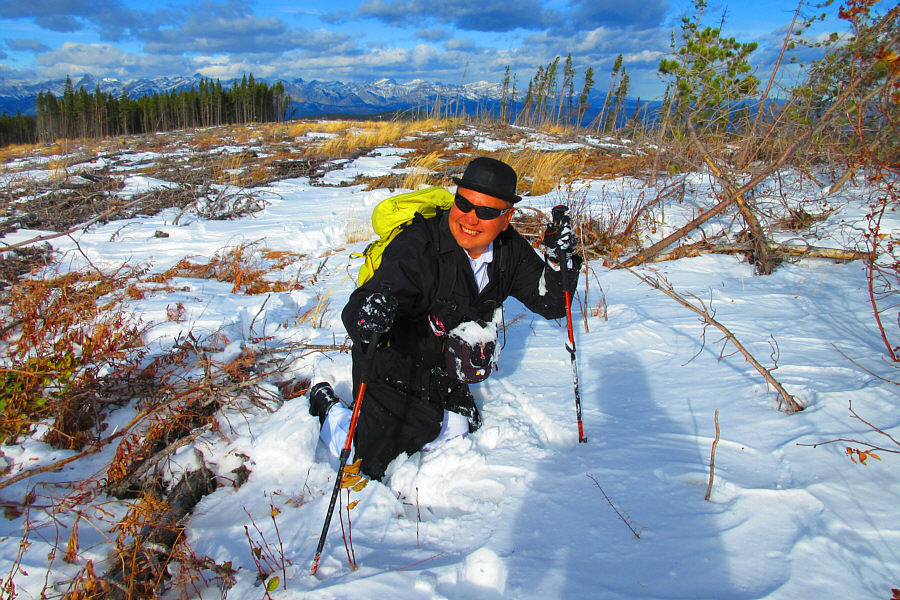
Sonny grimaces after doing his first face plant of the season...even without skis!

Photo courtesy of Zosia Zgolak

There's a VHS video tape in this geocache...how quaint! The group gathers around a geocache on the high point (HP1) of Lusk Ridge East (1935 metres).

Photo courtesy of Zosia Zgolak

Looks like another tree-covered high point...or is it? Christine makes her way toward HP2.
The Two Bobs! 
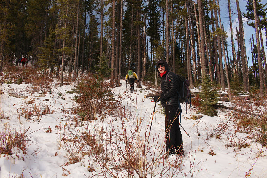
Bob P. follows Bob S. up the forested east side of HP2.

What a rogues' gallery!

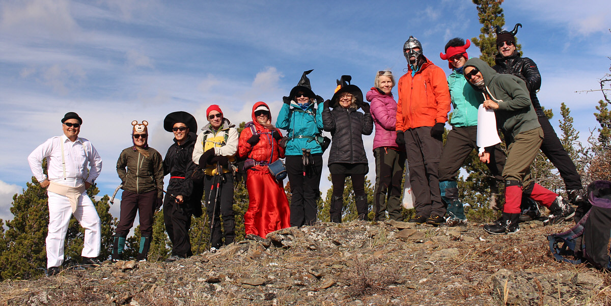
On the second high point (HP2; 2036 metres) of the day are Sonny, Aga, Shaun, Bob S., Christine, Dinah, Shelley, Glenda, Raff, Marta, Zosia and Bob P.


There were a lot of chocolate treats being passed around here!

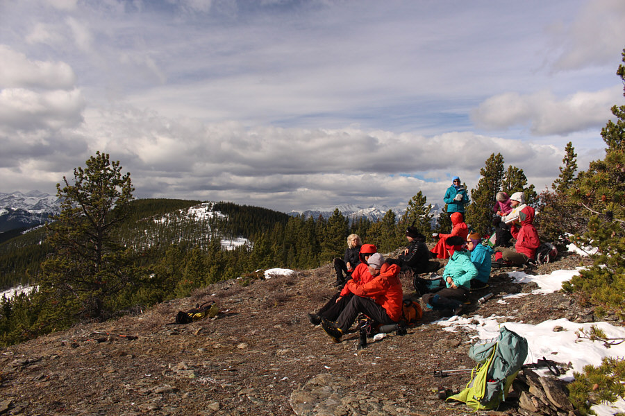
The group takes a break on HP2 which is surprisingly open with far-reaching views.

Both are maybe due for another visit from me in the near future... 
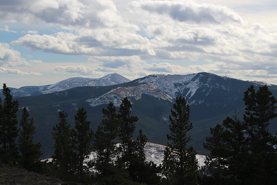
Moose Mountain and Cox Hill are visible to the southeast.
Nothing tricky here, but it was surprisingly steep. 
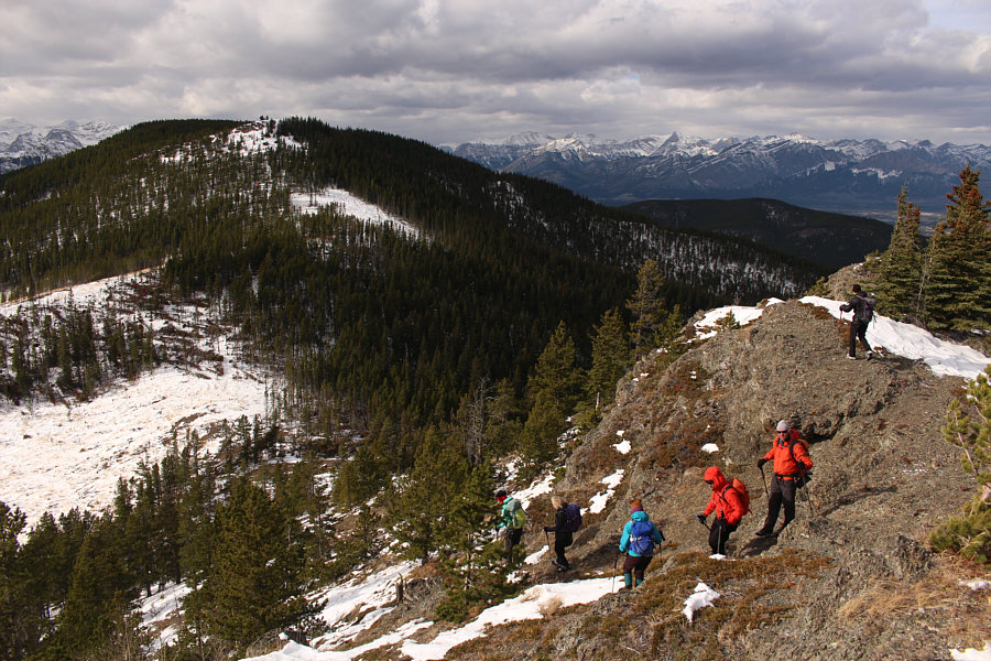
After the departure of Dinah, Glenda, Christine, and Bob S., the remainder of the group drops down the surprisingly precipitous west side of HP2 en route to the next snowy high point (HP3).
And for sure, the top is open! HP3 looks more well-defined from this part of the connecting ridge to HP2.
Possibly okay to scramble if dry but not today! 
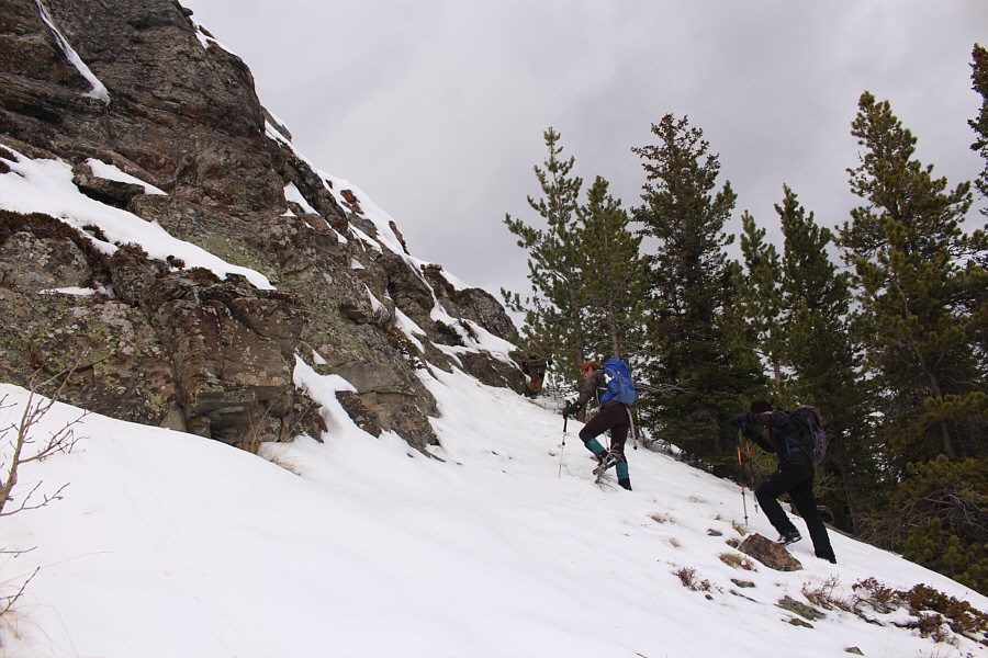
Aga and Bob P. approach a short cliff band guarding the top of HP3.
Our crux for the day. 
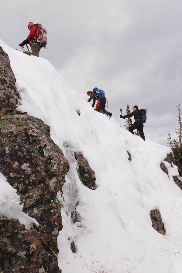
The group uses a snowy ramp to surmount the cliff band.

The Hateful Eight?

Sonny, Shaun, Bob P., Marta, Raff, Shelley, Zosia and Aga stand on the third high point (HP3; 2059 metres) of the day.


I finally figured out that Lusk Ridge and Hunchback Hills are one and the same! 
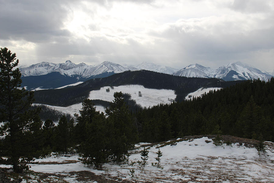
Immediately to the southwest is Lusk Ridge South (Hunchback Hill).  The striking form of Tiara Peak is also visible on the left horizon.
Not bad considering that we weren't expecting ANY views for this trip! 
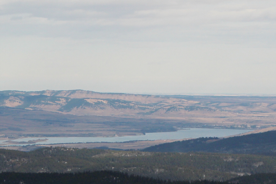
HP3 grants a glimpse of Ghost Lake to the northeast.
Definitely worth the extra effort to come over here! Here is a look back at HP2 to the east.
A secret trail! The group stumbles onto a flagged trail which appears to have been recently cleared.

Photo courtesy of Zosia Zgolak

Hey, we're not bushwhacking, so that's something to be happy about! 
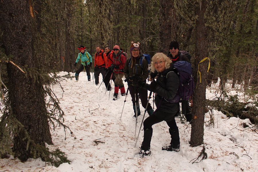
Marta, Raff, Shaun, Zosia, Aga, Shelley and Bob P. are in good spirits while descending the flagged trail.
Apparently Zosia's mom thought I looked like a priest! 
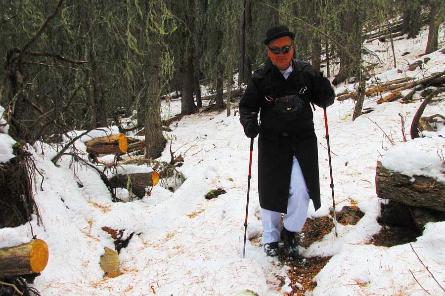
Despite some snow coverage, Sonny easily follows the trail all the way back to the highway.

Photo courtesy of Zosia Zgolak
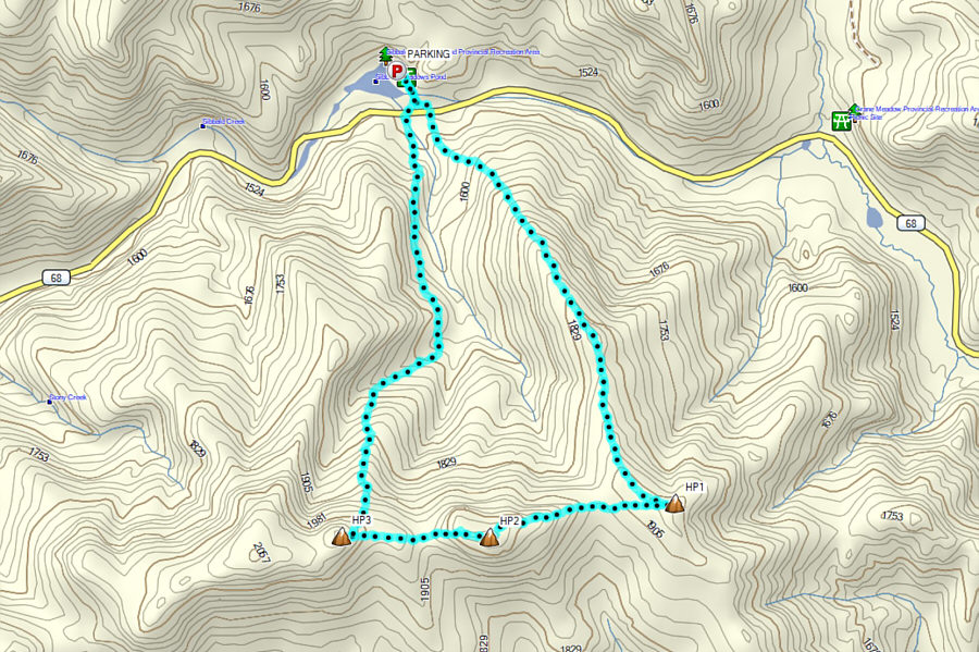
A not-so-spooky loop hike! Total Distance:  9.0 kilometres
Round-Trip Time:  5 hours 43 minutes
Cumulative Elevation Gain:  763 metres

GPX Data