BOU AVENUE
Mother's Day Hill
Wrapping up our long weekend in Cranbrook, British Columbia, Zosia Zgolak and I did a short hike up unofficially-named Mother's Day Hill on 23 May 2022.  This hike is described in Janice Strong's guidebook, Mountain Footsteps: Hikes in the East Kootenay of Southeastern British Columbia.  Although the hill is mostly forested and grants little in the way of far-reaching views, the easy access and short ascent makes this a suitable hike for people of all ages and abilities including mothers!

From Highway 95A, turn south onto Wycliffe Park Road 12 kilometres west of the junction with Highway 3/95 or 7.7 kilometres east of the intersection with 309 Avenue in Kimberley.  Drive 2.0 kilometres and turn right onto Wycliffe Road.  Drive 850 metres and turn right onto Perry Creek Road.  Drive 3.6 kilometres (pavement ends after the turnoff to Wycliffe Regional Park in about a kilometre) and turn right onto St. Mary River Forest Service Road.  Drive 2.1 kilometres and park on the side of the road near a cattle guard.  An exploration road heads into the forest on the west side of the road here.

Zosia and I started by following the exploration road which climbs gently through light forest to gain the south end of Mother's Day Hill.  A little more than a kilometre from the trailhead, the road swings north and traverses a semi-open grassy plateau.  Beyond this section, we continued along the road and climbed all the way to the forested high point without any trouble.  As expected, the high point is devoid of views, and we only stayed long enough to snap a requisite photo before commencing our descent.  Instead of backtracking along the road, we opted to take a short cut directly down the eastern slope.  Although there are some steep sections, route-finding was easy, and we had few difficulties making a beeline for the trailhead.  Upon returning to our car, we stopped for a round of disc golf at nearby Wycliffe Regional Park before driving home.  In my opinion, playing and walking the disc golf course was way more strenuous than hiking Mother's Day Hill.
Another obvious starting point--how nice!

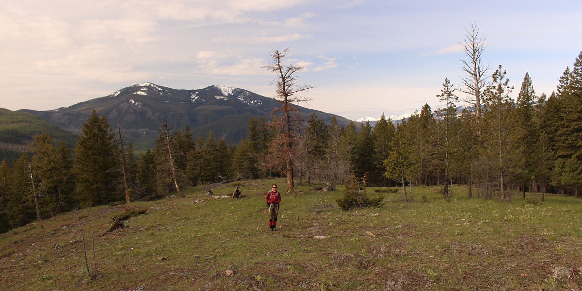
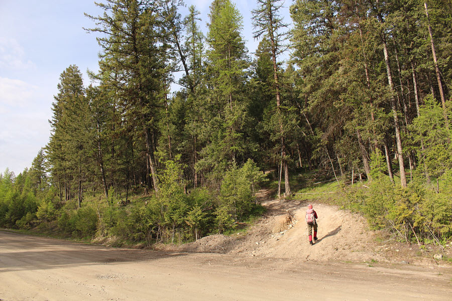
Zosia starts hiking up an exploration road branching off the St. Mary River Forest Service Road.

Might be better to do this one with a mountain bike...

The exploration road gains elevation moderately and is easy to follow.

Usually it's us that are running away from a skunk! A surprised skunk dashes away quickly.

Photo courtesy of Zosia Zgolak

Birdie num num.

On the opposite side of the road from the skunk is a dusky grouse which is also dashing off albeit much more slowly.

Photo courtesy of Zosia Zgolak

This is about as open and scenic as it gets on this hill!

Zosia hikes up the broad south side of Mother's Day Hill.


Definitely not as crowded here as in Zakopane (Poland)! Sonny and Zosia reach the high point of Mother's Day Hill (1306 metres).
Some steep sections here and there but nothing too tough. After leaving the high point, Zosia makes a beeline down the east slope of Mother's Day Hill.
I never tire of looking at this mountain! Mount Fisher is visible to the east through a small break in the trees.
That's a nice doggy bone!

Zosia finds a bone during her descent.

For Mom! This calypso orchid is one of many wildflowers that grow on Mother's Day Hill.
I shot 5 over par on this brutally long hole! Sonny tees off on Hole 16 at the Wycliffe Regional Park disc golf course.

Photo courtesy of Zosia Zgolak

Playing disc golf at Wycliffe Regional Park is a better workout and more scenic too! Total Distance:  3.9 kilometres
Round-Trip Time:  2 hours 1 minute
Net Elevation Gain:  337 metres

GPX Data