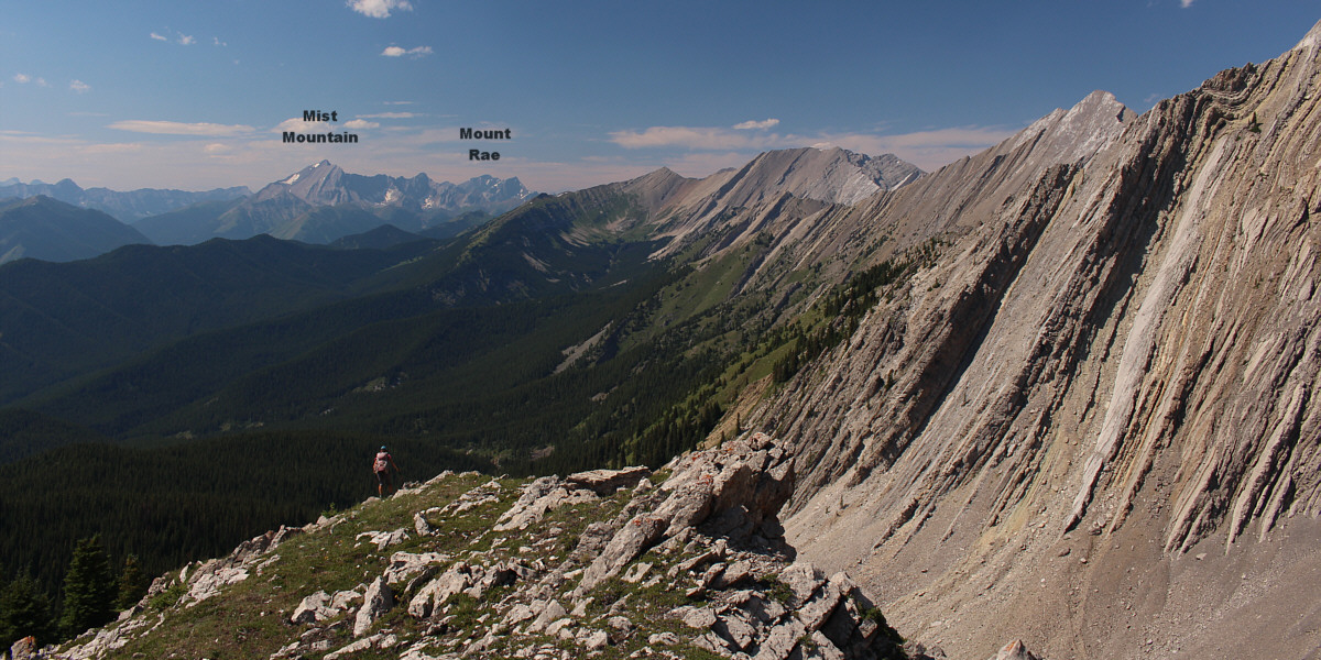
Zosia gets her first clear look at the west ridge of Serendipity Peak.
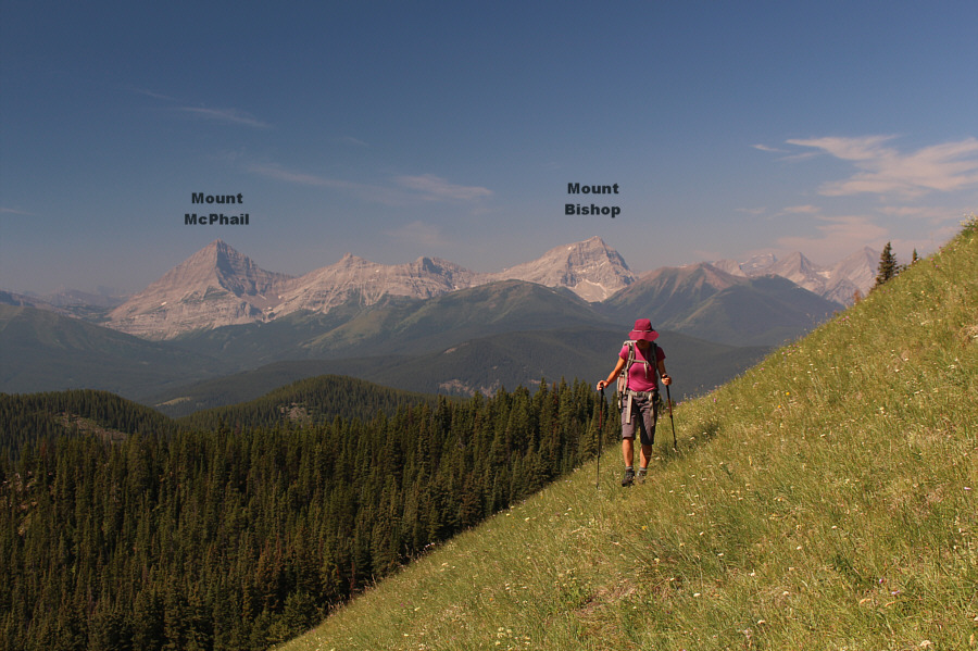
Peaks along the Continental Divide can be seen behind Zosia as she traverses a grassy slope.
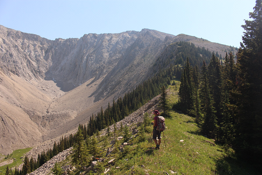
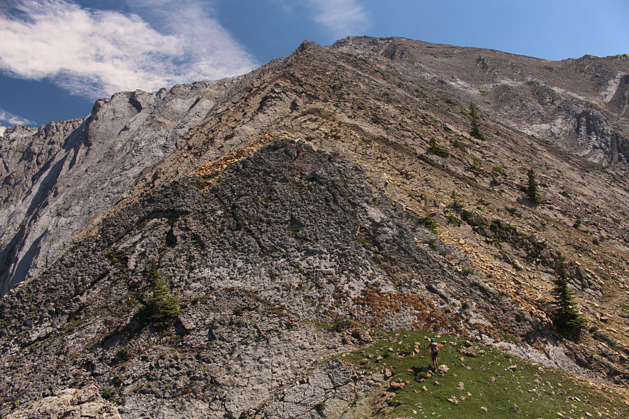
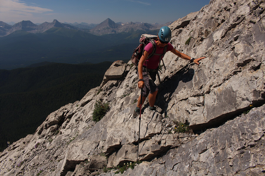
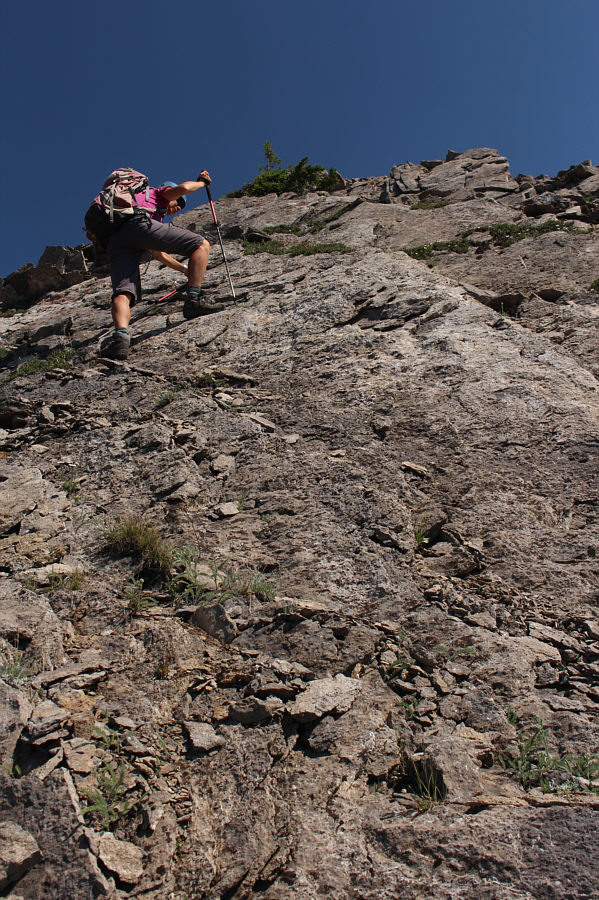
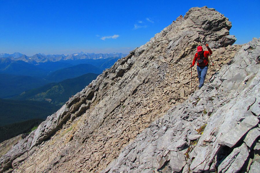
Photo courtesy of Zosia Zgolak
|
|
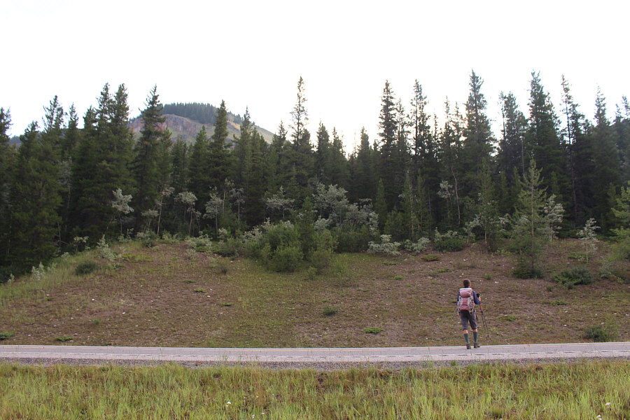
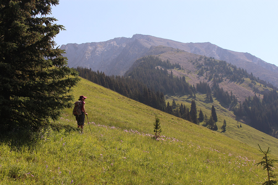
Zosia crosses the highway aiming for the ridge peeking above the trees at left. |
|
|
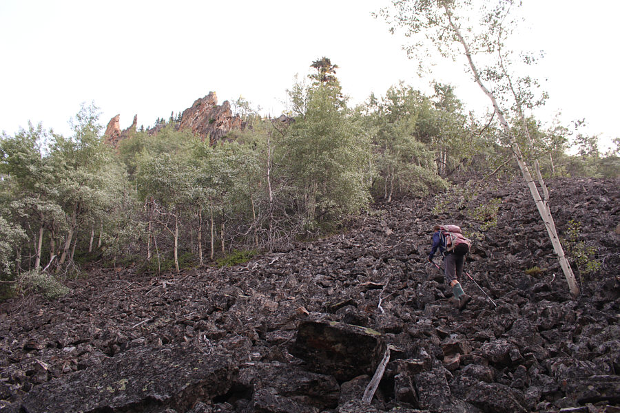
Zosia ascends a boulder field near the beginning. |
|
|
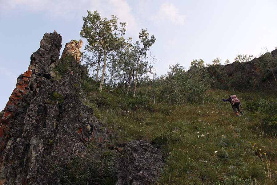
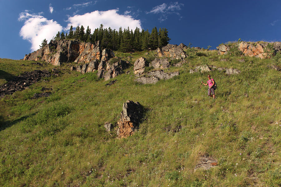
Zosia climbs past some striking pinnacles on a steep grassy slope. |
|
|
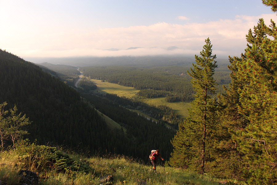
Clouds obscure distant peaks as Zosia climbs high above the highway. |
|
|
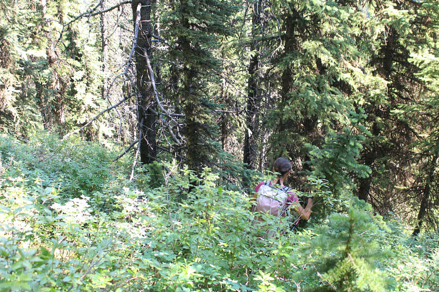
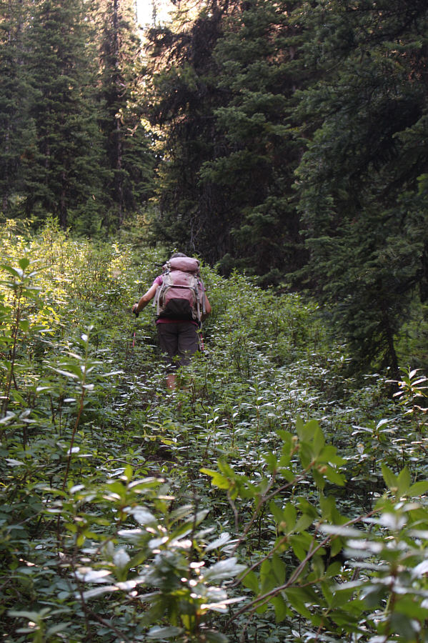
After a lengthy but relatively easy approach, Zosia plunges blindly down a steep and bushy slope. |
|
|
Zosia gets her first clear look at the west ridge of Serendipity Peak. |
|
|
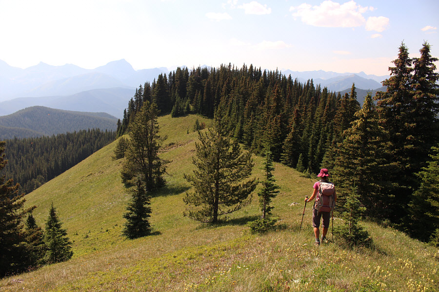
Peaks along the Continental Divide can be seen behind Zosia as she traverses a grassy slope. |
|
|
Zosia sticks closely to the crest as she ascends the west ridge. |
|
|
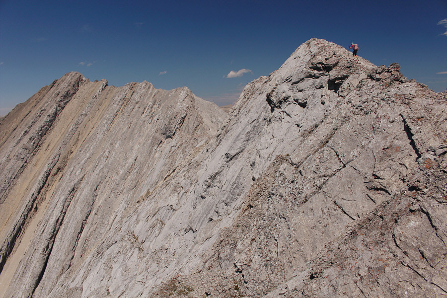
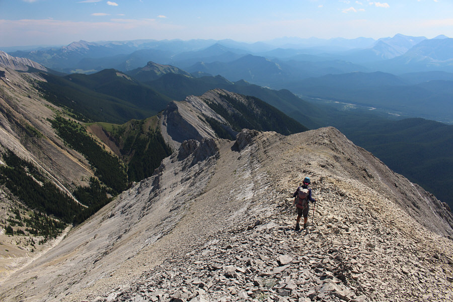
There is a lot of scrambling to be done on the upper part of the west ridge. |
|
|
Zosia carefully bypasses a drop-off along the west ridge. |
|
|
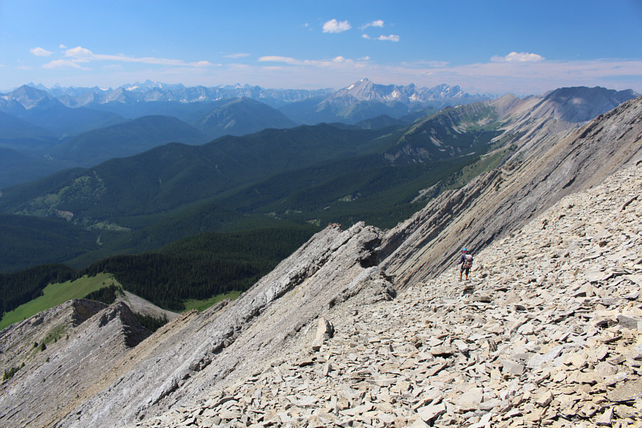
There are lots of rock slabs that are easy to ascend such as this one. |
|
|
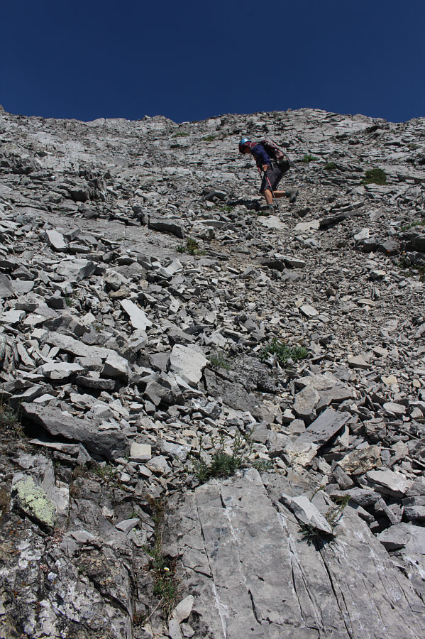
Sonny is constantly looking down to
check his footing. Photo courtesy of Zosia Zgolak |
|
|
Zosia gains the summit ridge of Serendipity Peak. |
|
|
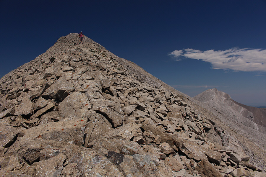
Zosia takes the last few steps before the top of Serendipity Peak. |
|
|
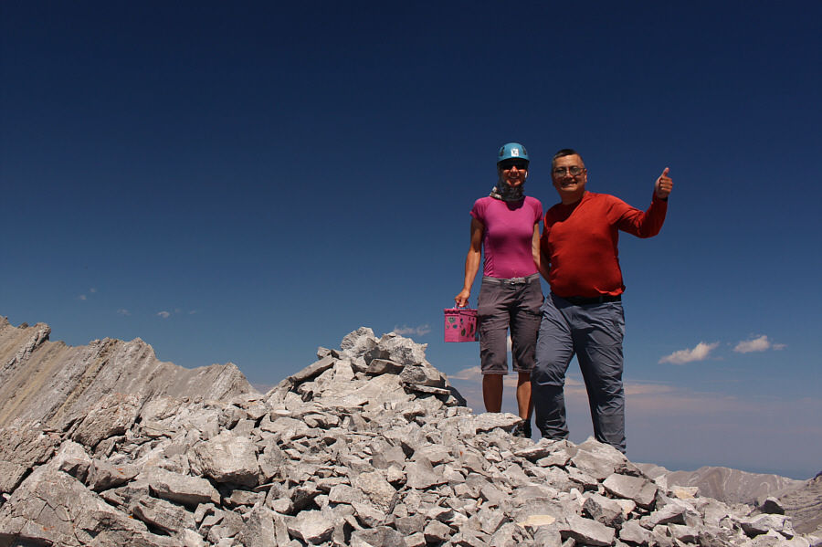
Zosia and Sonny stand on the summit of Serendipity Peak (2667 metres). |
|
|
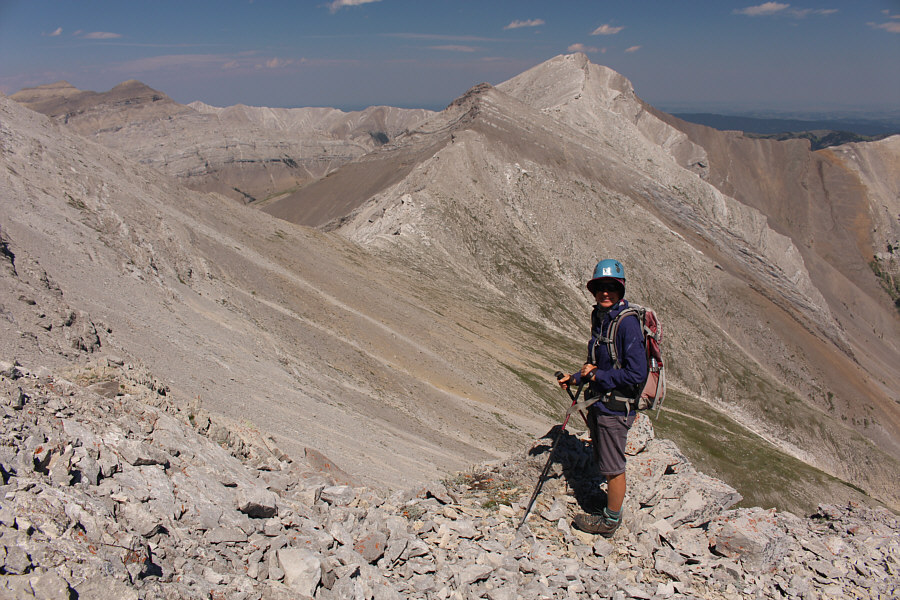
Zosia briefly contemplates the tedious traverse to Patterson's Peak at distant right. |
Mount Head and Holy Cross Mountain dominate the view to the southeast.
 |
Zosia retreats down the summit ridge. |
 |
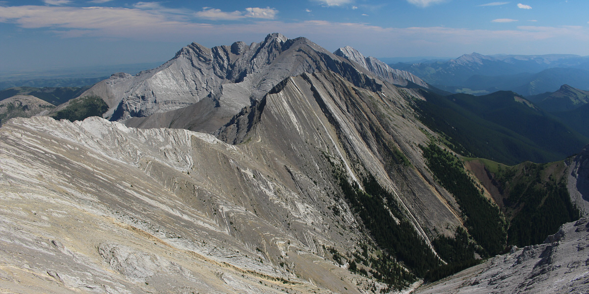
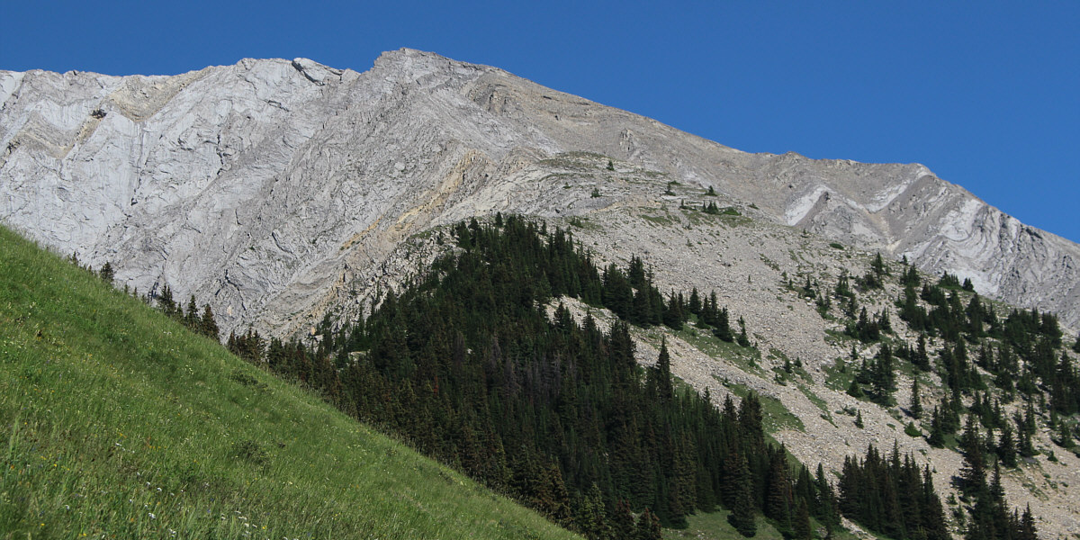
Here is a comprehensive view of Serendipity Peak's west ridge (bottom left). The Misty Range is also visible on the centre horizon. |
 |
Zosia carefully descends a steep slope of loose rubble. |
Here is a last look to the northwest as Zosia regains easier ground.
 |
At this point, it is sobering to realize that the hike out entails going over the distant forested ridge at far left. |
Here is a last look back at Serendipity Peak from its west ridge.
 |
Zosia finds an overgrown trail to ease her climb back up the ridge she had earlier descended via some unpleasant bushwhacking. |
 |
Late in the day, Zosia descends past the pinnacles near the start of the trip. |
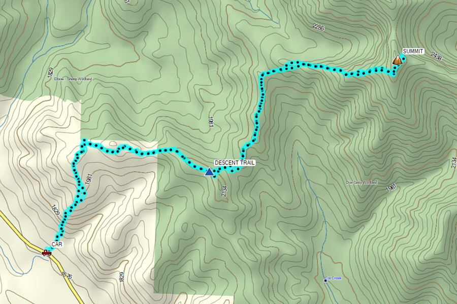 |
Total
Distance: 14.0 kilometres Round-Trip Time: 11 hours 13 minutes Cumulative Elevation Gain: 1344 metres |