![]() |
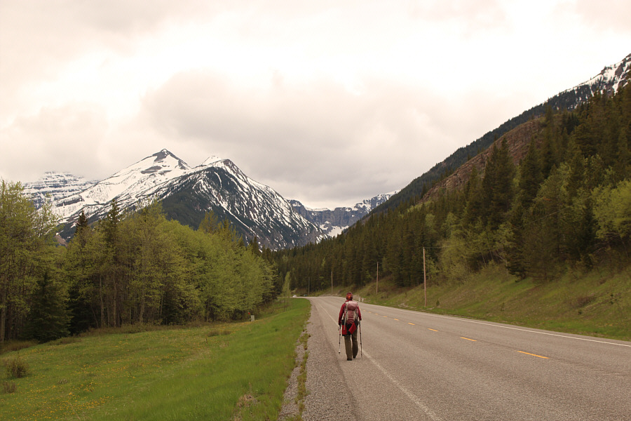
Easy access to Dave McMurray's "Great Little Ridge" is just out of view to the left. |
![]() |
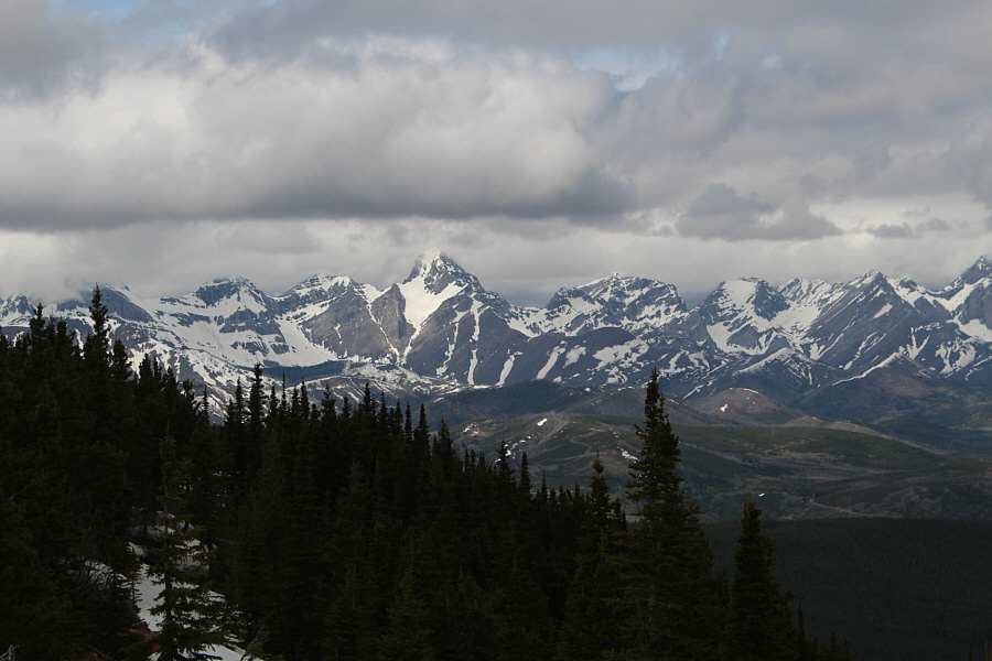
Sonny leaves the highway and ascends a steep ramp at the beginning of Great Little Ridge. Behind him is Southfork Mountain. Photo courtesy of Zosia Zgolak |
![]() |
Here is a more comprehensive view of Southfork Mountain from Great Little Ridge. |
![]() |
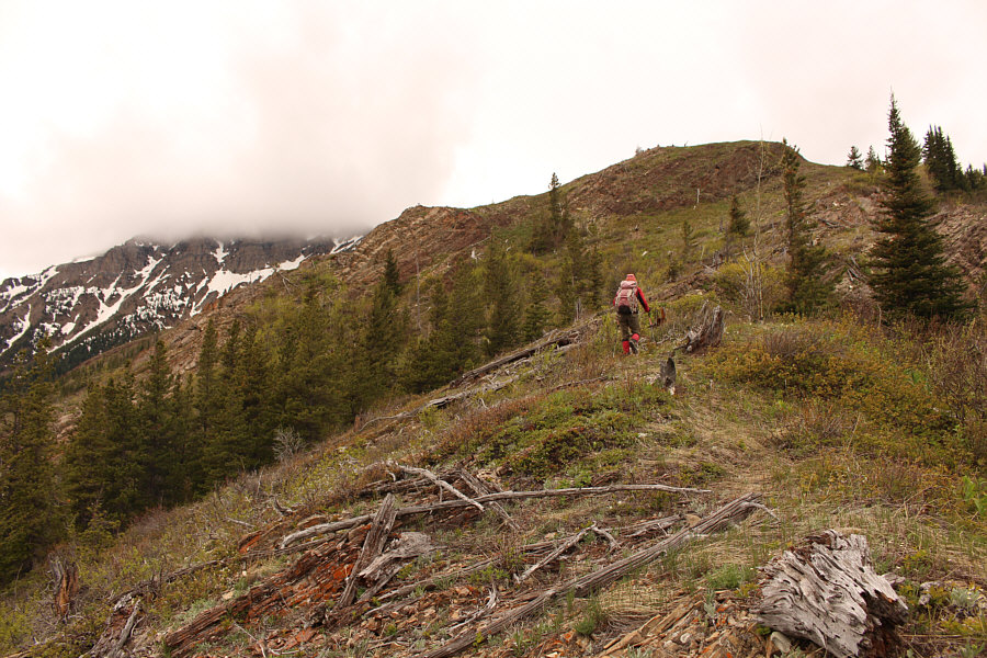
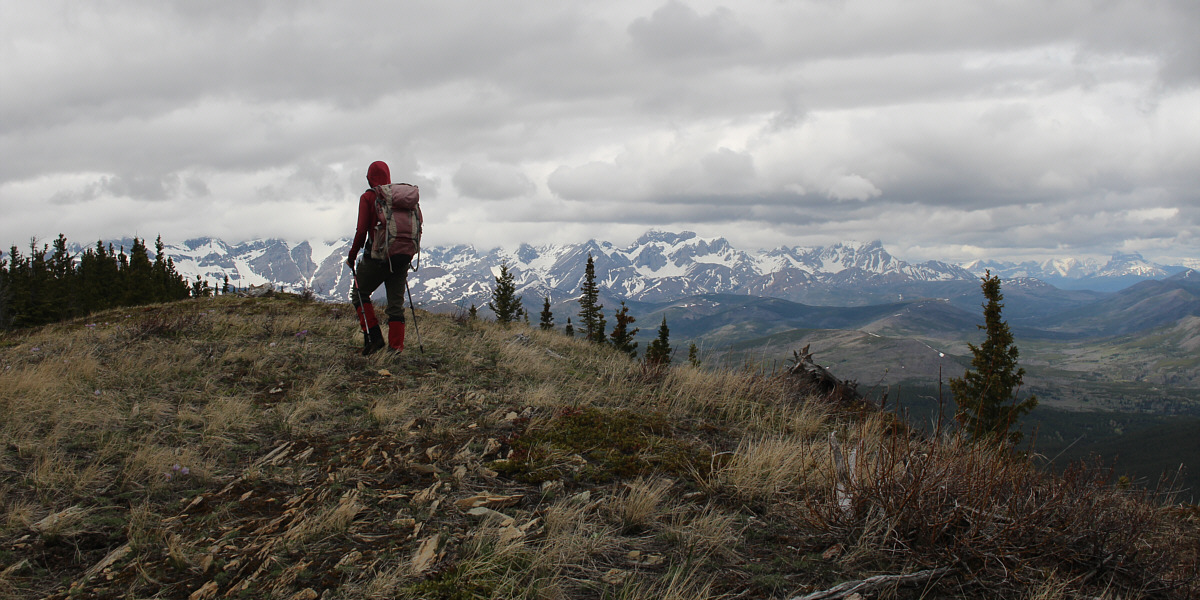
Zosia hikes up Great Little Ridge. |
![]() |
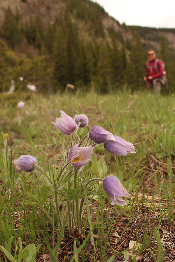
Pasque flowers are blooming everywhere along the ridge. |
![]() |
Zosia reaches the high point of Great Little Ridge (1766 metres). Suicide Hill is visible behind her. |
![]() |
Zosia tries out her brand new poncho for the first time as a light rain falls over the area. |
![]() |
In the forest, lots of snow still covers the ground. Photo courtesy of Zosia Zgolak |
![]() |
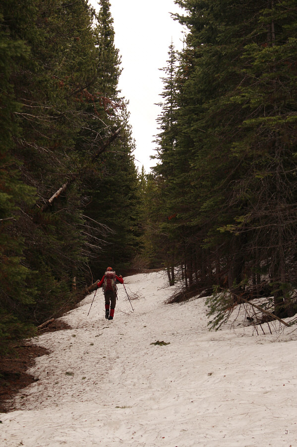
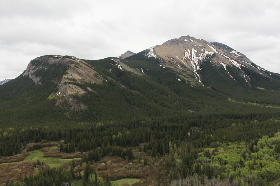
Zosia tries to get back on track after being led way off route by Sonny. Part of Syncline Mountain can be seen above the trees. |
![]() |
An impassable ravine prevents Zosia from heading directly toward Suicide Hill here. |
![]() |
After gaining the Great Divide Trail (GDT), Zosia fords Suicide Creek. |
![]() |
Zosia enjoys a brief respite from route-finding, bushwhacking and post-holing while walking this stretch of the GDT. |
![]() |
After leaving the GDT and walking a short distance up this side road, Zosia heads into the bushes again to climb up Suicide Hill. |
![]() |
This is one of many shooting stars blooming throughout the area. |
![]() |
Zosia hikes up the southeast ridge of Suicide Hill. |
The top of Suicide Hill grants far-reaching views.
![]() |
Sonny and Zosia stand on the high point of Suicide Hill (1982 metres). |
The three peaks of Syncline Mountain are visible to the southwest.
![]() |
Mount McCarty dominates the view to the west. |
![]() |
Mount Darrah (left of centre) is the most prominent peak on the northwest horizon. |
![]() |
Zosia retraces her steps down Suicide Hill's southeast ridge. Great Little Ridge is the forested bump at left. |
![]() |
Sonny re-crosses Suicide Creek. Photo courtesy of Zosia Zgolak |
![]() |
This part of the GDT is still choked with snow. |
![]() |
Table Mountain is visible at centre on the horizon as Zosia descends into the valley along the GDT. |
![]() |
Down in the valley, Sonny tests the
depth of Suicide Creek which remains problematic for route-finding. Photo courtesy of Zosia Zgolak |
![]() |
Zosia walks back to her starting point along the highway. The lower cliffs of Great Little Ridge are visible at right while in the distance at left is Gravenstafel Ridge. |
![]() |
Total
Distance: 10.4 kilometres Round-Trip Time: 6 hours 56 minutes Net Elevation Gain: 582 metres |