 |
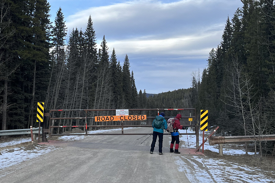
Dinah and Zosia make their way around a locked gate at the start of the seasonally-closed section of McLean Creek Trail (Highway 549). |
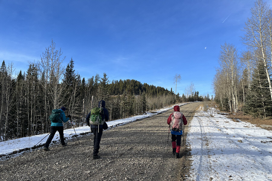 |
Bob, Dinah and Zosia hike along a gas well road that leads to the top of Mount Barwell (not visible here). They would soon leave the road to ascend the forested ridge in the distance. |
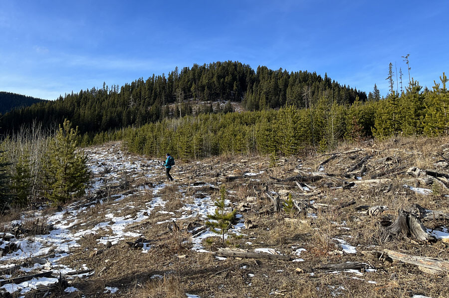 |
Dinah follows a faint trail through a clear cut leading to the forested ridge in the background. |
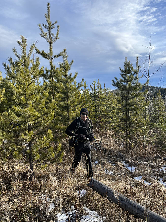 |
Bob makes his way through some light bush in the same clear cut. |
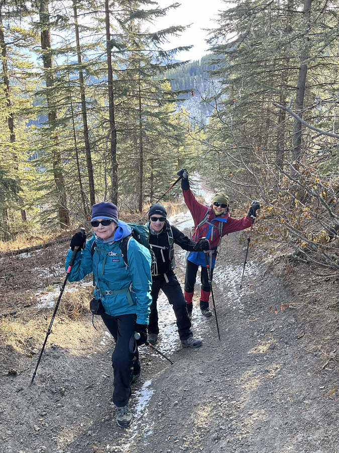 |
The group gains a road along some sort of cut line. This road can actually be followed all the way back to the trailhead over the ridge in the distance. |
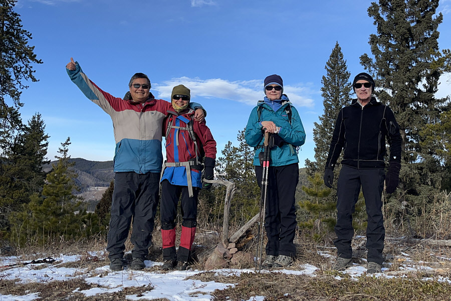 |
Sonny, Zosia, Dinah and Bob stand on what turns out to be a false high point (1560 metres) on the first hill of the hike. |
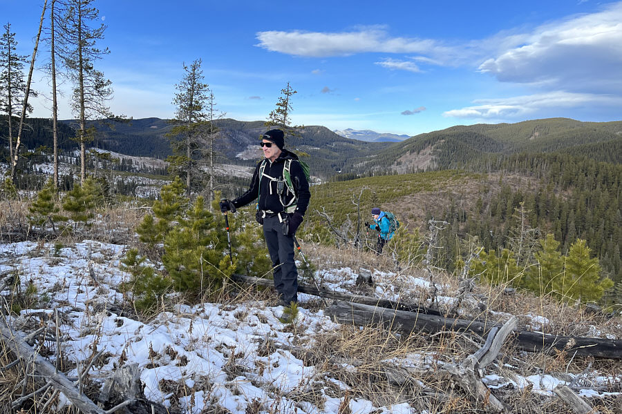 |
After leaving the false high point, Bob and Dinah go off-trail to climb up the true high point of the first hill. |
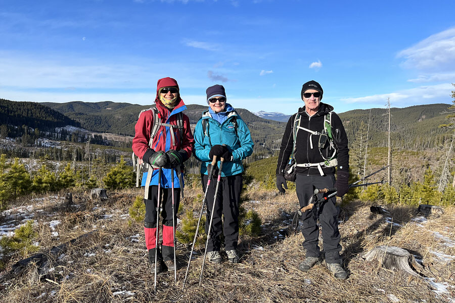 |
Zosia, Dinah and Bob reach the true high point (1566 metres) of the first hill. |
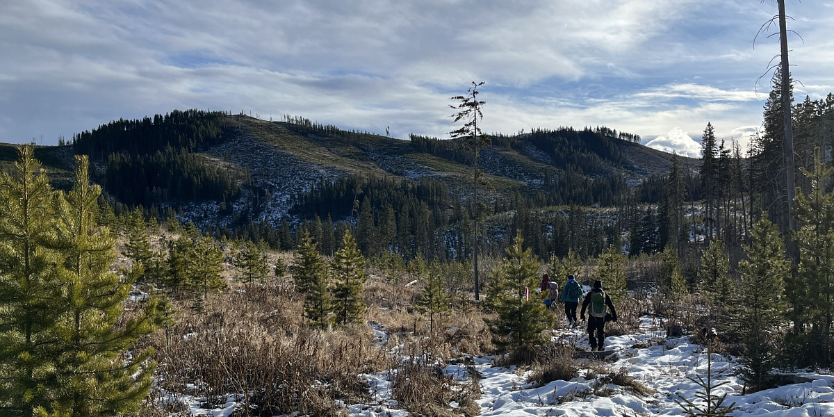
The second and third hills of the hike can be seen ahead as the group makes its way through a cut block aiming for the distant saddle at far right.
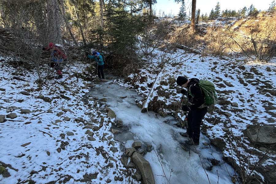 |
The group carefully crosses a frozen stream. |
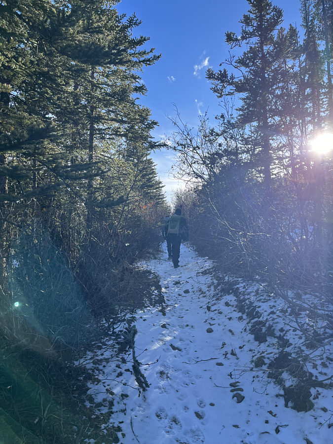 |
The group follows a convenient trail through the cut block. |
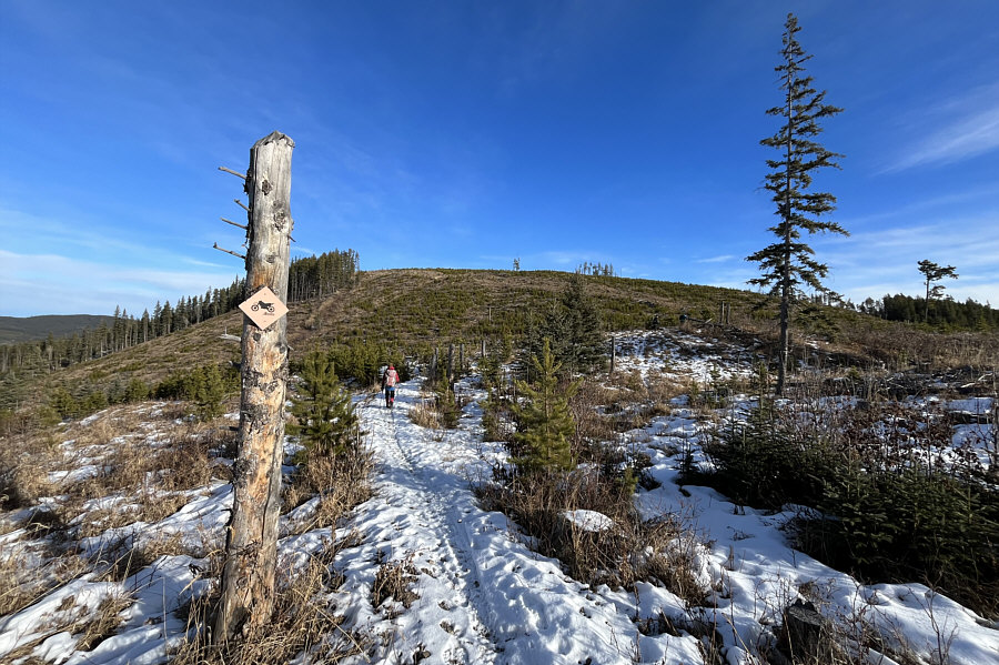 |
From the saddle, a dirt bike trail leads to the top of the second hill. |
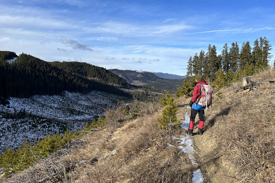 |
Partway up the second hill, Zosia pauses to survey the cut block that she and the others crossed earlier. |
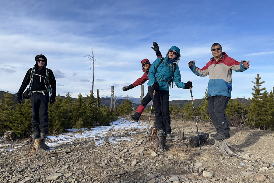 |
Bob, Zosia, Dinah and Sonny balance themselves on tree stumps at the high point (1663 metres) of the second hill. |
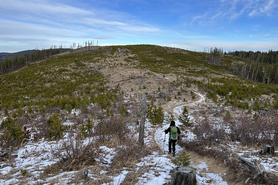 |
The group easily follows the dirt bike trail to the third hill of the hike. |
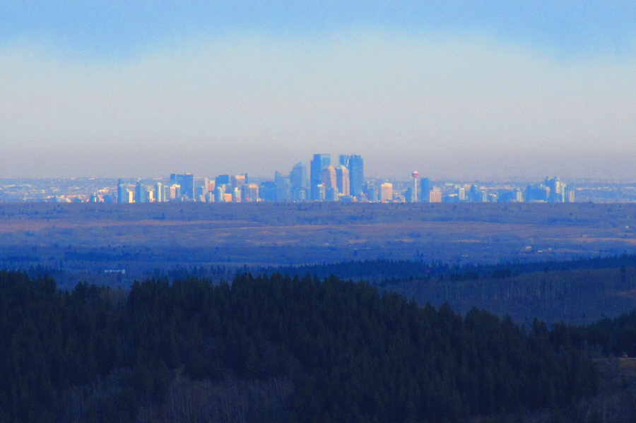 |
Downtown Calgary is clearly visible
from the top of the third hill. Photo courtesy of Zosia Zgolak |
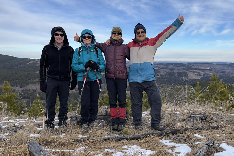 |
Bob, Dinah, Zosia and Sonny stand near the high point (1658 metres) of the third hill. |
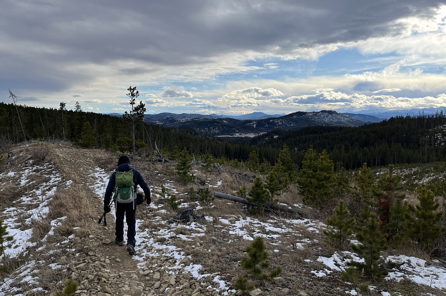 |
Bob continues along the dirt bike trail after leaving the high point of the third hill. |
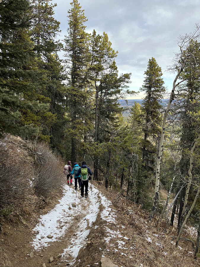 |
The group descends a series of switchbacks on the east side of the third hill. |
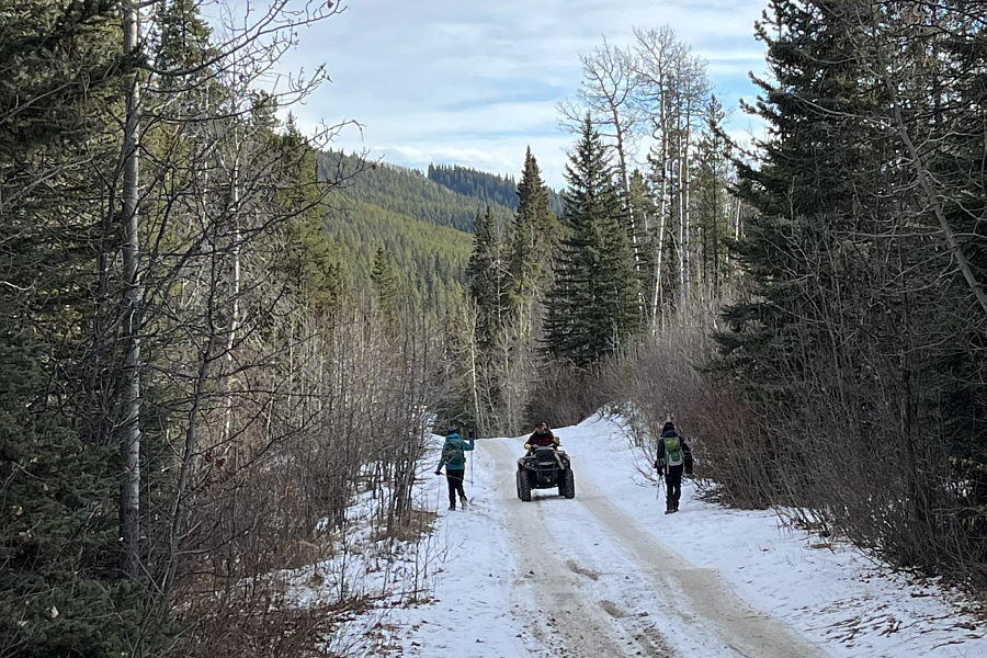 |
Not far from the trailhead, Dinah and Bob step to the sides of the cut line road to allow an ATV to pass. |
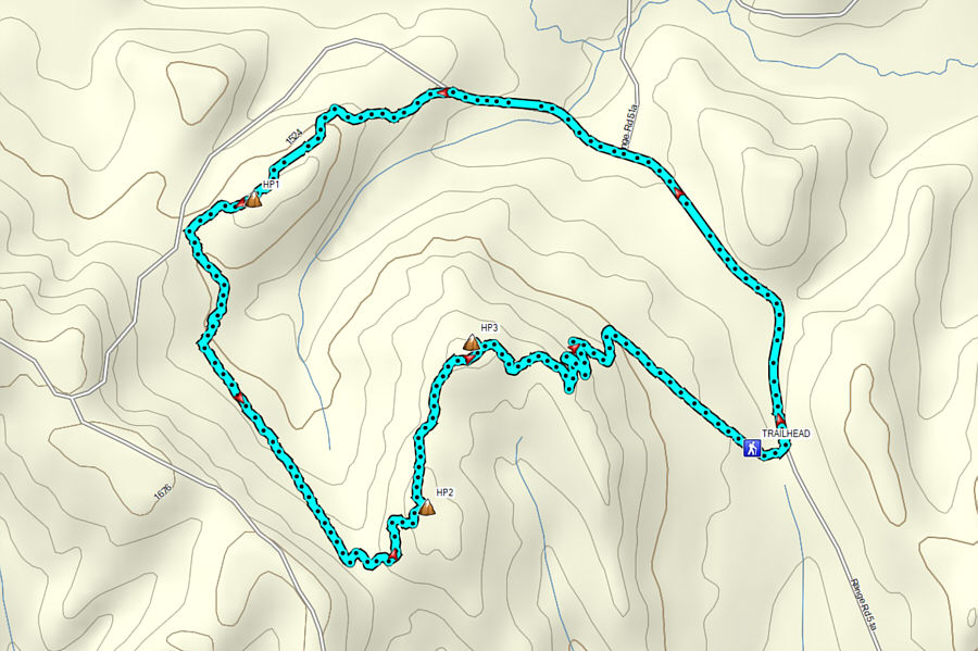 |
Total
Distance: 8.4 kilometres Round-Trip Time: 3 hours 58 minutes Cumulative Elevation Gain: ~375 metres |