Photo courtesy of Zosia Zgolak
Some of the peaks of the Palliser Range are reflected in one of the Cascade Ponds.
|
|
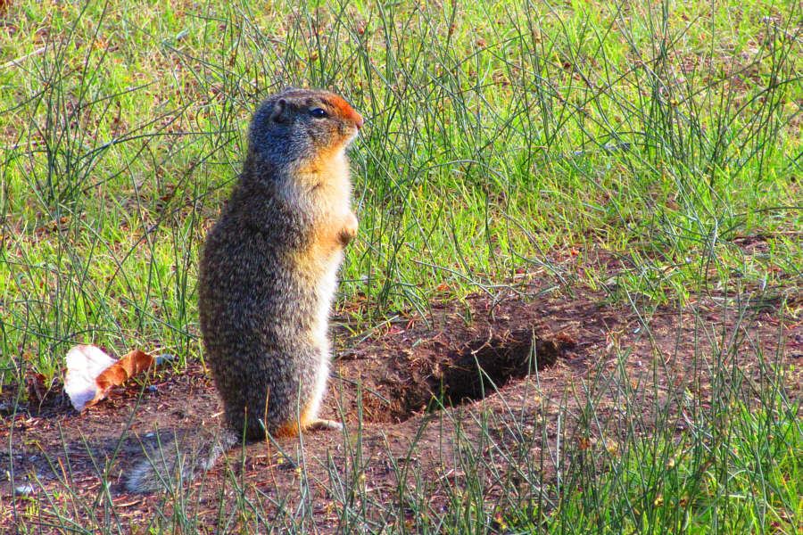
The day use area at Cascade Ponds is
teeming with Columbian ground squirrels. Photo courtesy of Zosia Zgolak |
|
|
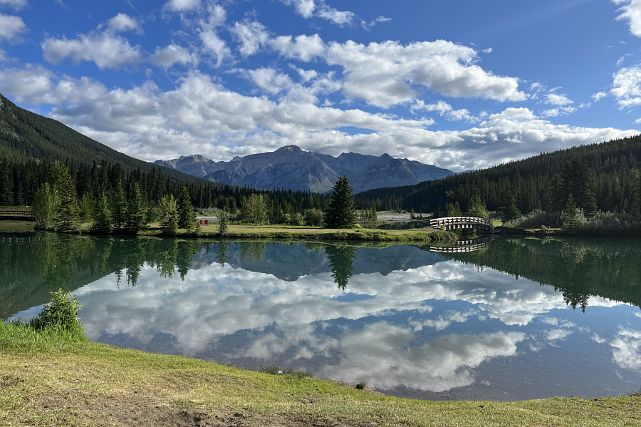
Some of the peaks of the Palliser Range are reflected in one of the Cascade Ponds. |
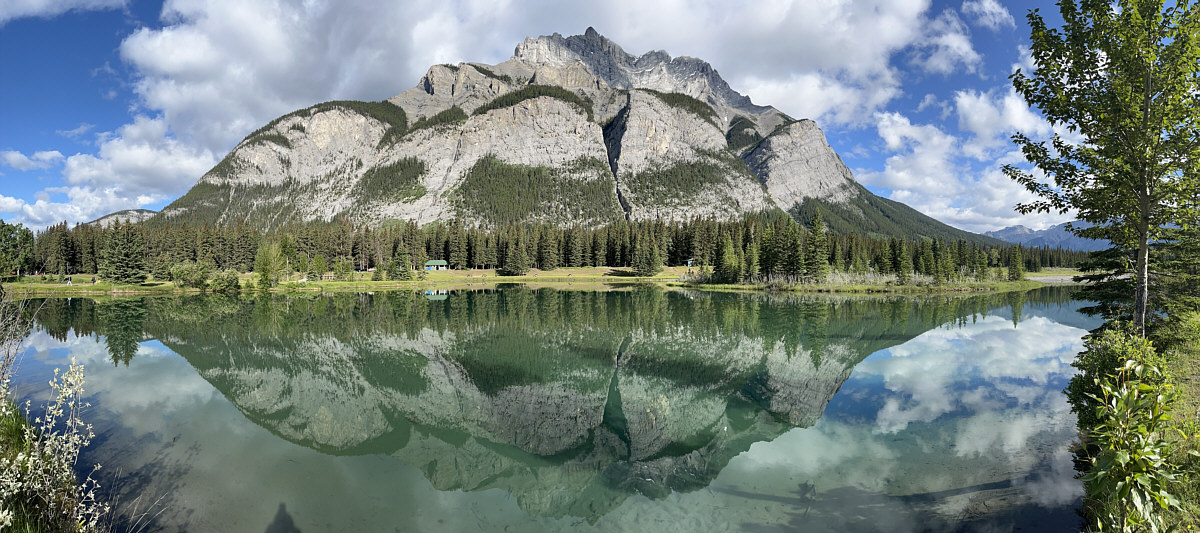
Cascade Mountain is reflected in its namesake pond.
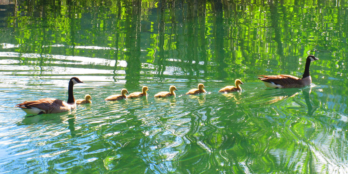
A family of Canada geese make their way across the Cascade Ponds.
Photo courtesy of Zosia Zgolak
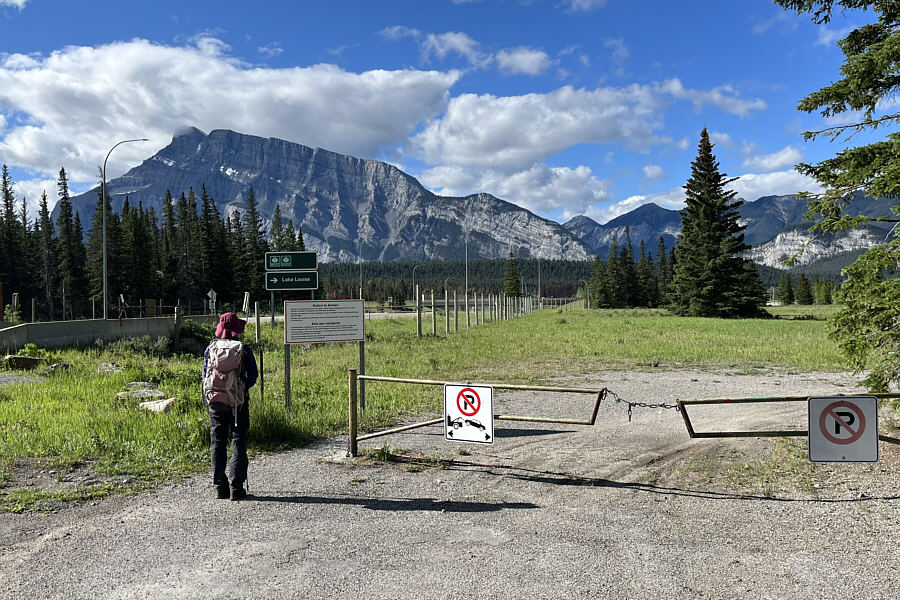 |
Zosia passes a locked gate at the entrance to the Banff airstrip. Aircraft are allowed to land here only if there is an emergency. |
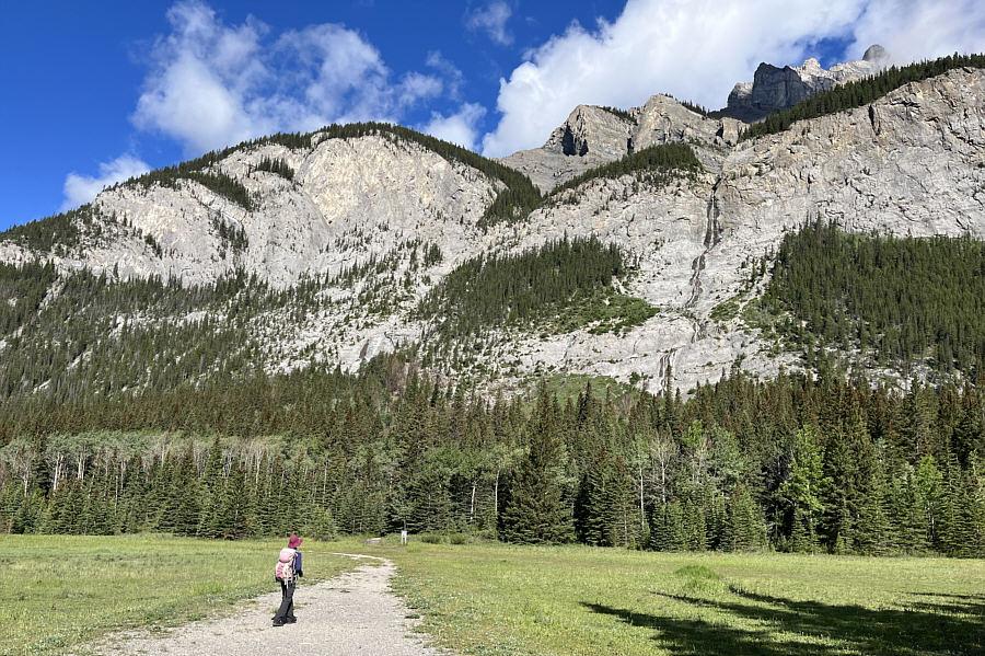 |
The climbers' access trail to Cascade Falls begins near the sign at the edge of the forest. |
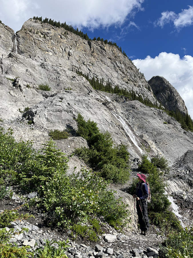 |
Zosia reaches the base of Cascade Falls. |
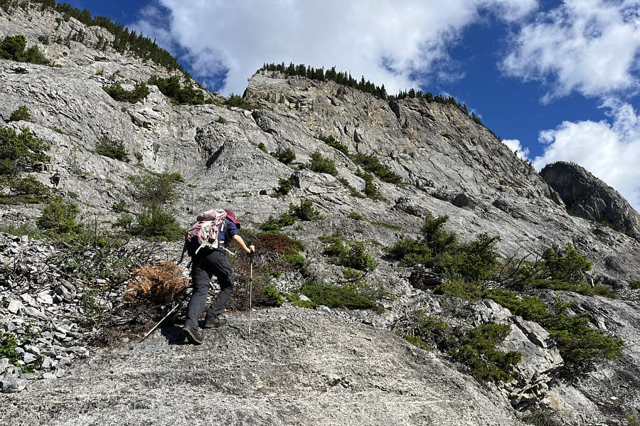 |
Zosia continues up increasingly steep terrain. |
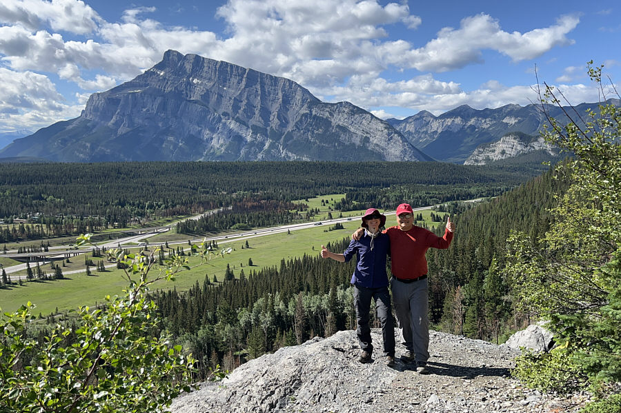 |
Zosia and Sonny pose at a viewpoint overlooking the Banff airstrip with Mount Rundle in the background. |
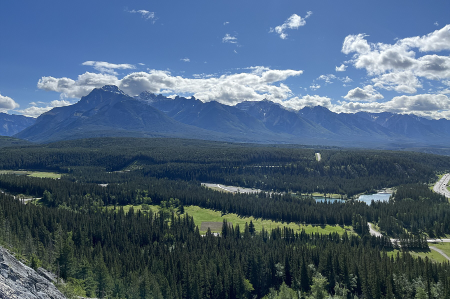 |
The Fairholme Range stretches across the eastern horizon. Cascade Ponds are visible at lower right. |
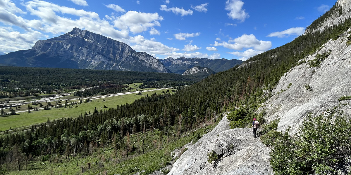
Here is another look at Mount Rundle and the Banff airstrip from the base of Cascade Falls.
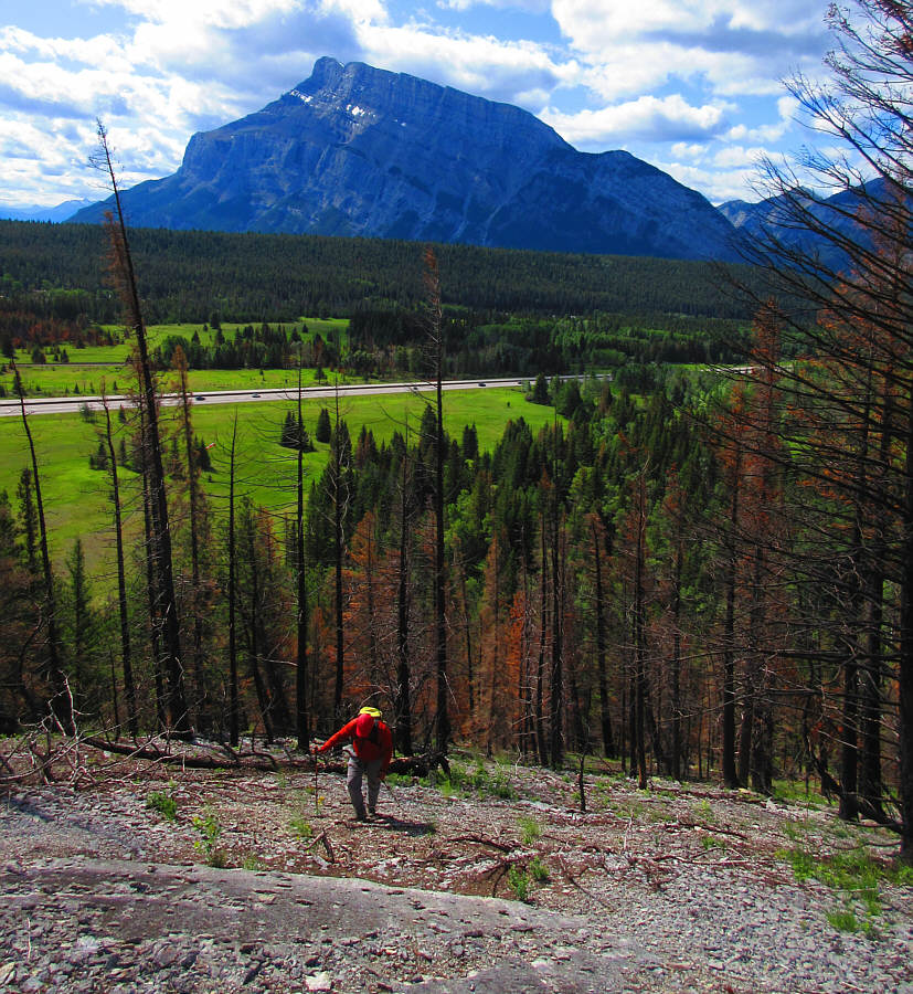 |
Sonny climbs past a burnt section of
forest about 700 metres southwest of Cascade Falls. Photo courtesy of Zosia Zgolak |
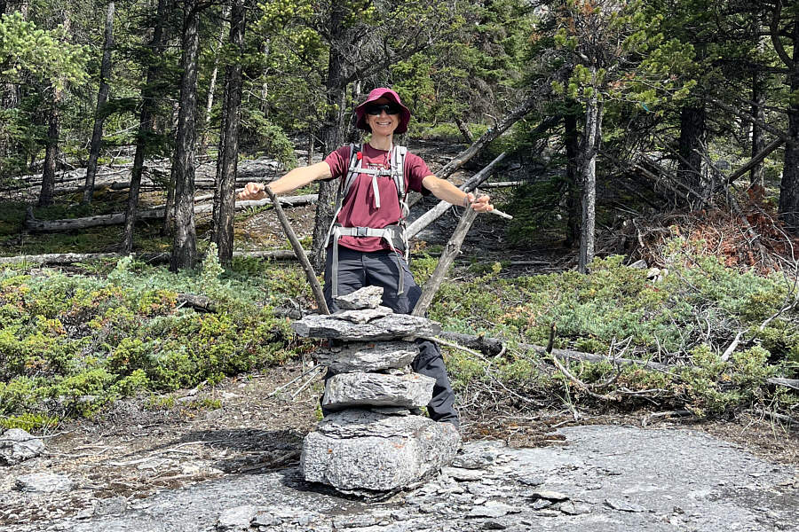 |
Zosia comes across a large cairn near the start of an unfamiliar climbers' access route. |
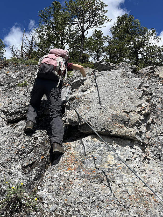 |
Zosia follows a fixed cable up this steep section of rock. |
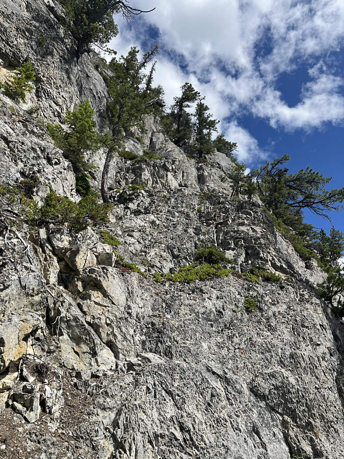 |
The climbers' access route continues up this big cliff band. It is difficult to see, but there is a fixed rope higher up. Zosia and Sonny would turn around here. |
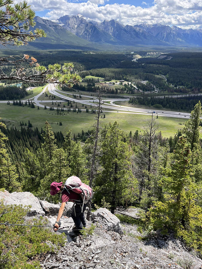 |
Zosia carefully descends the same way she came. |
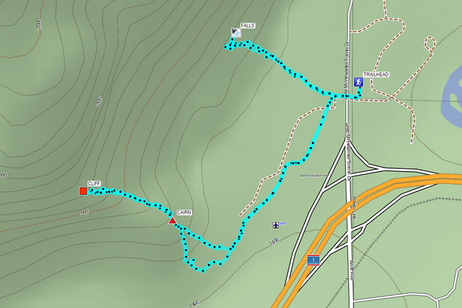 |
Total
Distance: 4.6 kilometres Round-Trip Time: 3 hours 29 minutes Cumulative Elevation Gain: 431 metres |