BOU AVENUE
Helipad Hill
With Zosia Zgolak feeling a little under the
weather on 16 December 2023, we opted for a short drive and a short ski
up an obscure and lowly hill located smack dab in the middle of Alberta's
McLean Creek Off-Highway Vehicle Public Land Use Zone. Although the
hill is officially unnamed, its top is marked as a helipad on Google
Maps, and consequently, I have taken the liberty to call it "Helipad
Hill". The top of the hill is easily accessed by a number of ATV
roads that crisscross the entire area, and although I had no worries
about navigating the maze of roads, I was less certain about ski
conditions given recent warm temperatures.
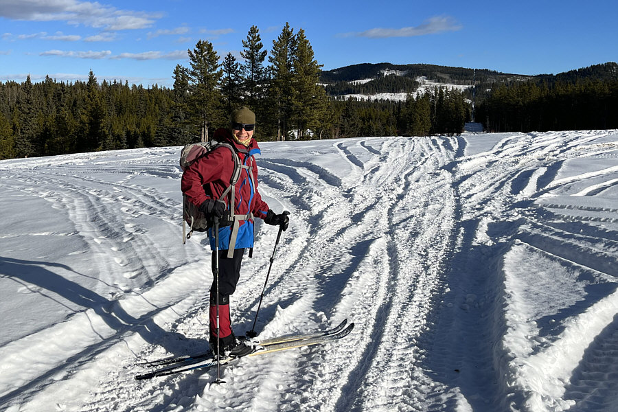
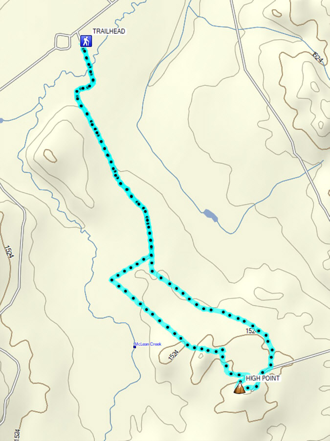
Starting from the McLean Creek Staging Area
(50.88070, -114.68457), Zosia and I started skiing along the main ATV
road going south. We quickly crossed a bridge over McLean Creek,
and after passing a couple of bends, we settled into a long straight
section of road. Although ATV traffic had mostly packed down the
snow on the road, snow coverage was barely adequate for skiing, and we
had to be constantly vigilant for rocks throughout the entire trip.
The snow quality was also less than stellar but not necessarily terrible
either. A little more than two kilometres south of the staging
area, we crossed an east-west cut line in a large clearing before
re-entering forest and heading in a more southeasterly direction.
About 1.5 kilometres further, we intersected another ATV road coming from
the east. We turned right and, shortly after, veered left to climb
up a steeper hill which turned out to be our objective of the day.
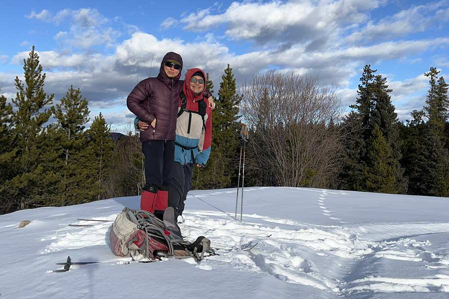
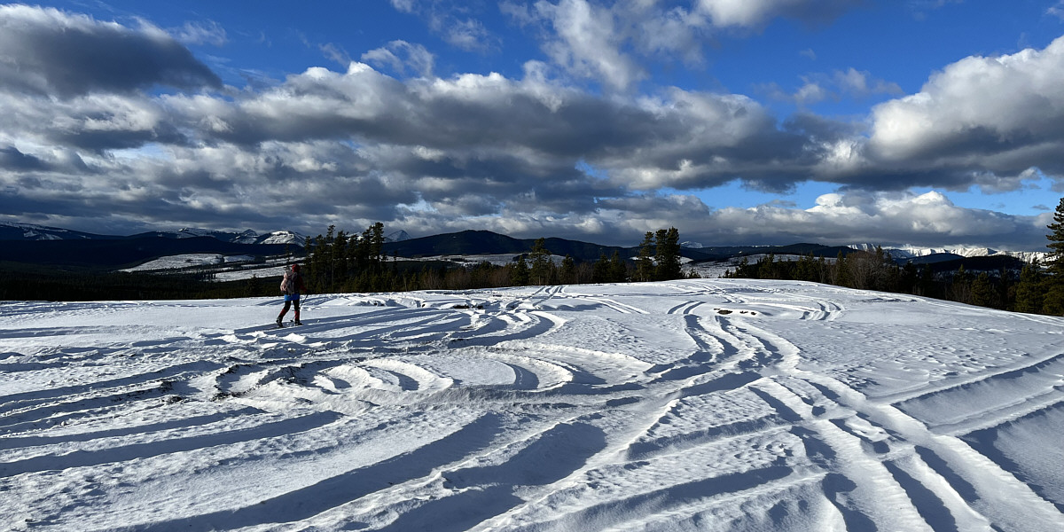
The top of Helipad Hill is open and flat, and there are even some views
of distant mountains.
After stopping for a short break on what
we deemed to be the high point, Zosia and I tried descending a different
road on the west side of Helipad Hill, but this road is steeper and
narrower than the one we climbed up. While Zosia managed to ski
down most of this road, I was content to pick up my skis and just walk.
We soon regained the ATV road coming from the east, but instead of going
back that way, we felt adventurous and headed westward hoping to find a
different return route. This entailed climbing over a forested
ridge and another steep descent which necessitated some more walking, but
we eventually hit a cut line descending gently in a northwesterly
direction. This cut line ultimately intersects the aforementioned
east-west cut line, and it made the most sense for us to turn eastward
here and close our loop at the large clearing we had passed earlier.
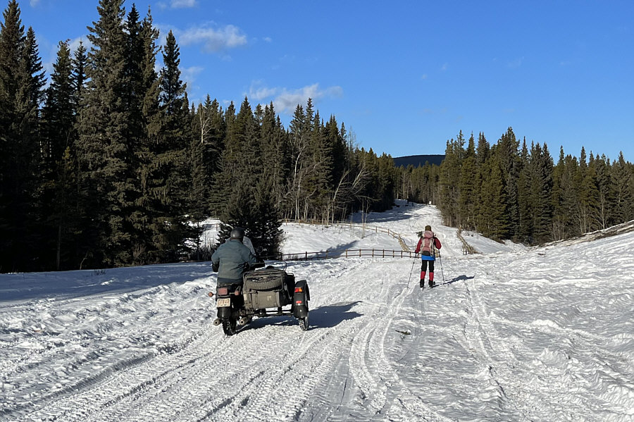
From there, we only had to dodge a few ATVs on our way back to the
staging area to conclude the trip.
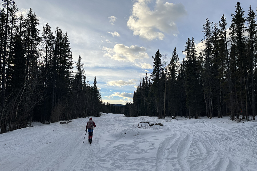 |
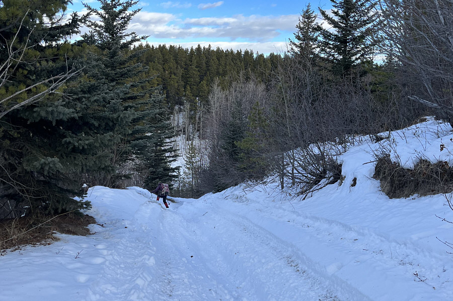
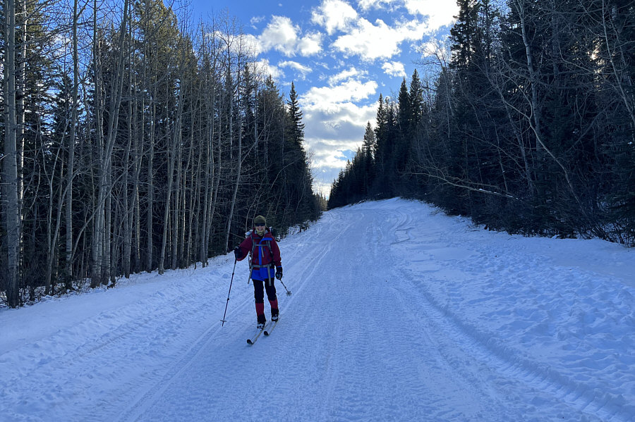
Zosia skis southward along a well-used
ATV road. |
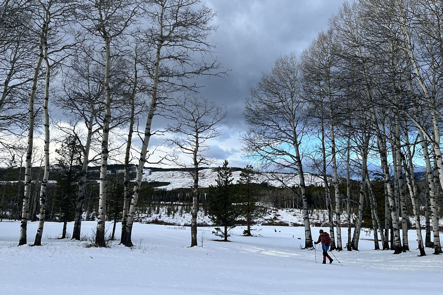 |
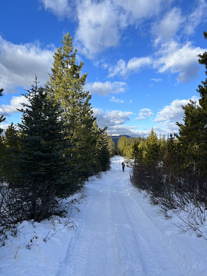
Distant views beyond a stand of aspen trees help break up the monotony of
the mostly forested approach road. |
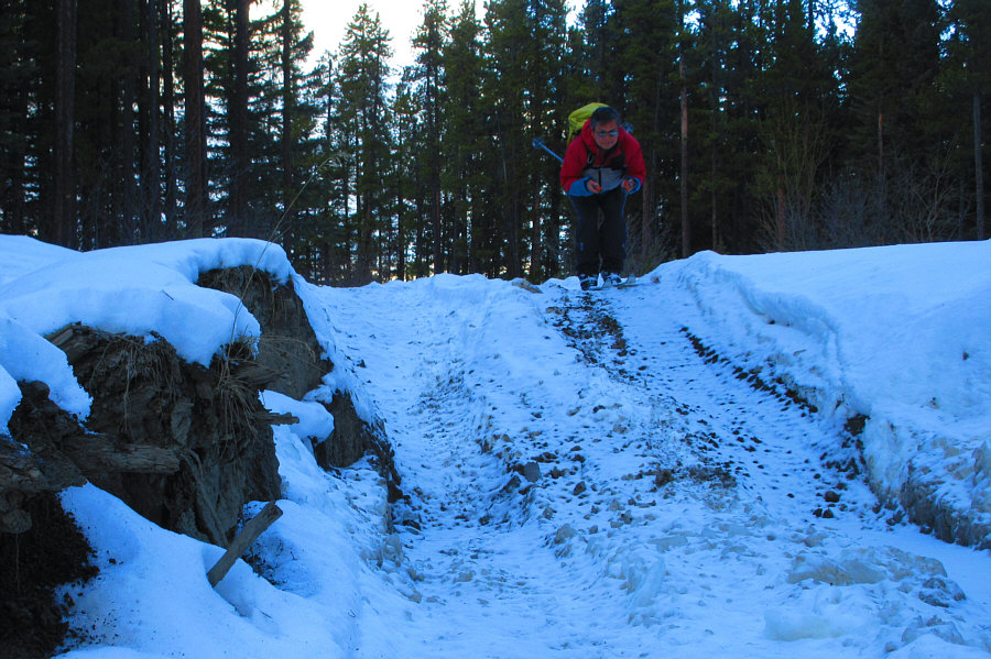 |
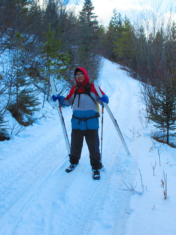
Sonny looks like he is skiing a World
Cup downhill race.
Photo courtesy of Zosia Zgolak |
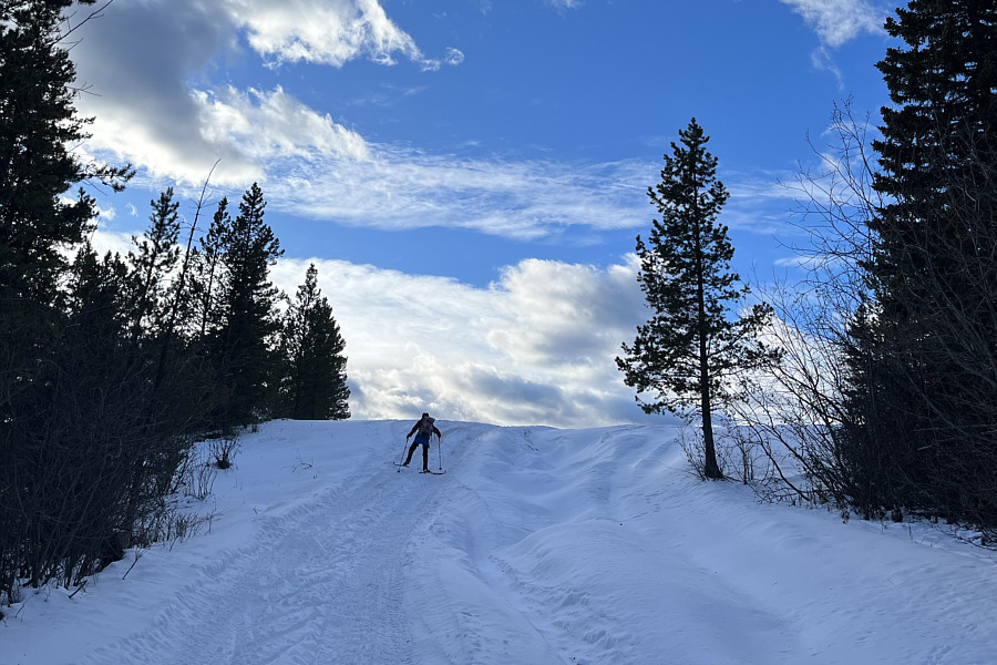 |
Zosia herringbones up the final hill before the top. |
The top of Helipad Hill is expectedly flat and open.