BOU AVENUE
McLean Hill

With other commitments both in and out of town later in the day on 2 December 2017, Marta Wojnarowska, Zosia Zgolak and I chose a short hiking objective in McLean Hill which is located in the Elbow River valley of Kananaskis Country.  Joining us on this hike was Kevin Caron.  As described in Gillean Daffern's Kananaskis Country Trail Guide, McLean Hill abounds with numerous trails, exploration roads and cut lines which offer a variety of ways to get up and get down and maybe even get lost!

We started our hike from the winter gate on McLean Creek road.  Although the road was officially closed for the season, a convoy of dump trucks rolled past us as we walked southward.  After walking along the road for about 2.5 kilometres, we turned east onto an exploration road which is part of an obvious cut line also known as Priddis Creek trail.  The exploration road was very icy on this day, and we had to take extra care to avoid any painful slips.  About two-thirds of the way up, we left the road and made a beeline for the summit thinking that it would be an easy off-trail hike.  Unfortunately, we ran into some rather unpleasant bushwhacking which had me wondering why we left the road in the first place.  Thankfully, the bushwhacking was short-lived, and we eventually regained the road not far from the panoramic summit.

For our descent, we dropped down the northwest side of McLean Hill on a good trail, but we ultimately abandoned it to hike over a somewhat annoying intervening ridge.  The bush was not as bad here, and once we crested the ridge, we easily hiked down the other side to McLean Creek road.  We subsequently made a short detour to check out frozen McLean Pond before returning to our starting point at the winter gate.
Though the gate was open, the road was officially closed for the season. 
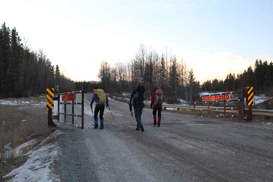
The group walks past the winter gate on McLean Creek Road.
I had no idea what these trucks were up to...Die Hard 3?

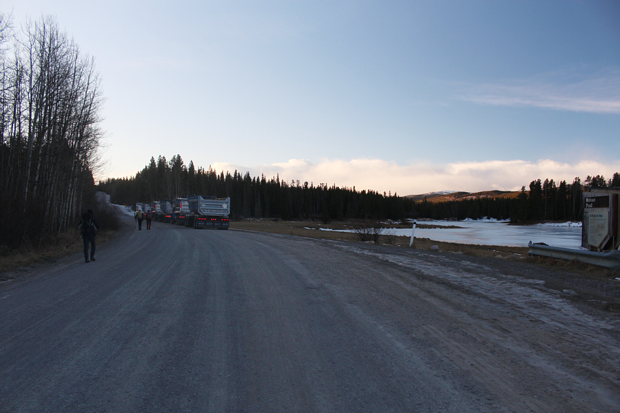
Several dump trucks pause on the road beside McLean Pond.

Taking the road less travelled... 
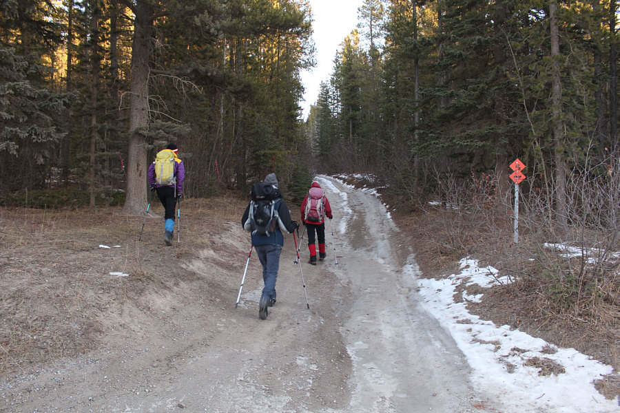
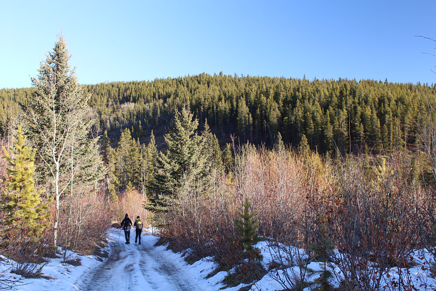
The group leaves McLean Creek Road and turns up this rougher exploration road.
Very icy here...bring ice cleats!

The exploration road is actually part of a long cut line.

We made the mistake of leaving the road just ahead of here...don't! 
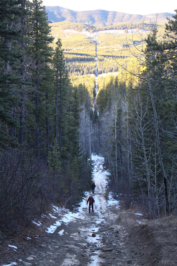
The road drops down a bit here before resuming its climb up McLean Hill.
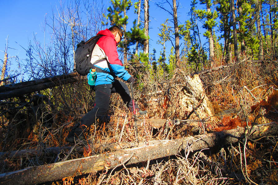
Actually, this was a cakewalk compared to North Kintla Creek! After leaving the exploration road, Sonny relives some of the nasty bushwhacking he previously endured at North Kintla Creek.

Photo courtesy of Zosia Zgolak

Bushwhacking is so much more fun with friends! 
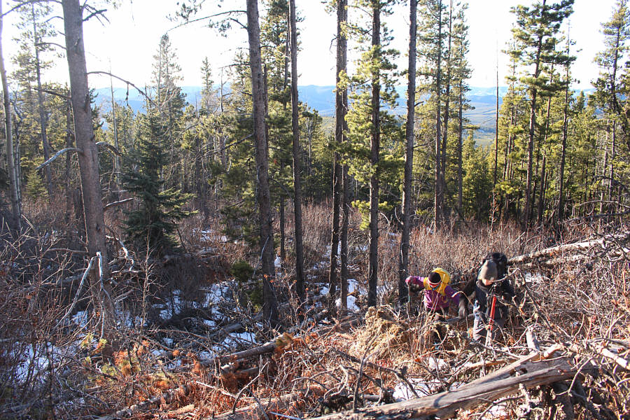
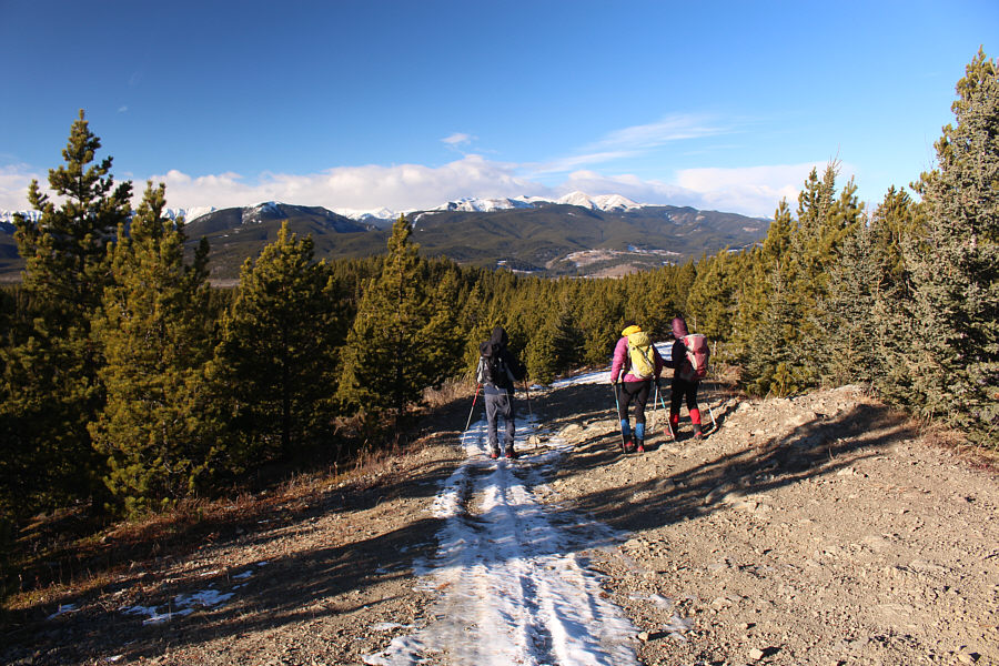
Marta and Kevin fight their way up the bushy slope.

We're actually standing in the middle of the road that runs over the summit!

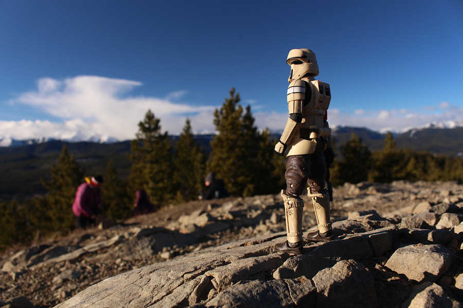
Sonny, Zosia, Kevin and Marta arrive on the summit of McLean Hill (1721 metres).


I traversed those peaks over 13 years ago! 
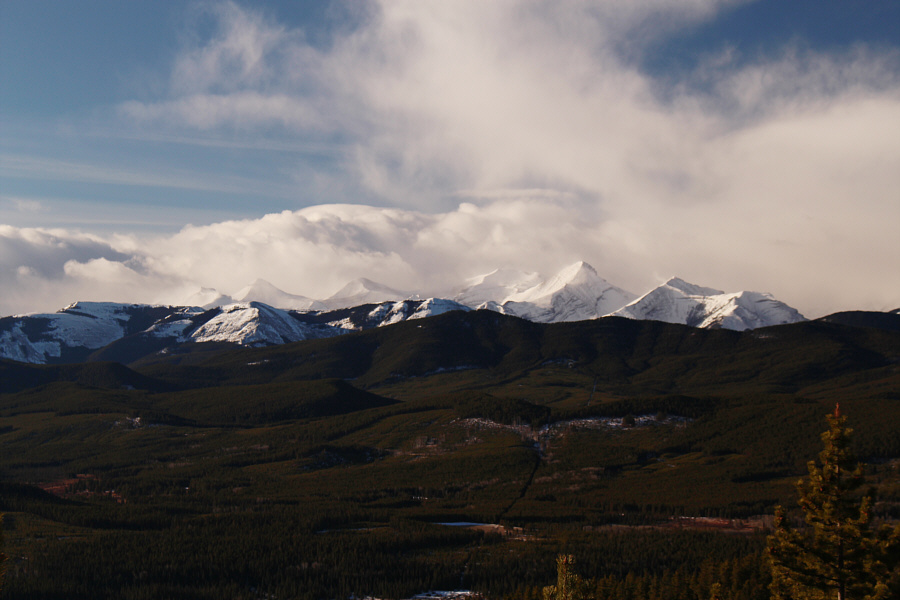
The familiar forms of Banded Peak, Outlaw Peak, Mount Cornwall and Mount Glasgow are visible to the southwest.
Looks like pretty poor skiing up there today! 
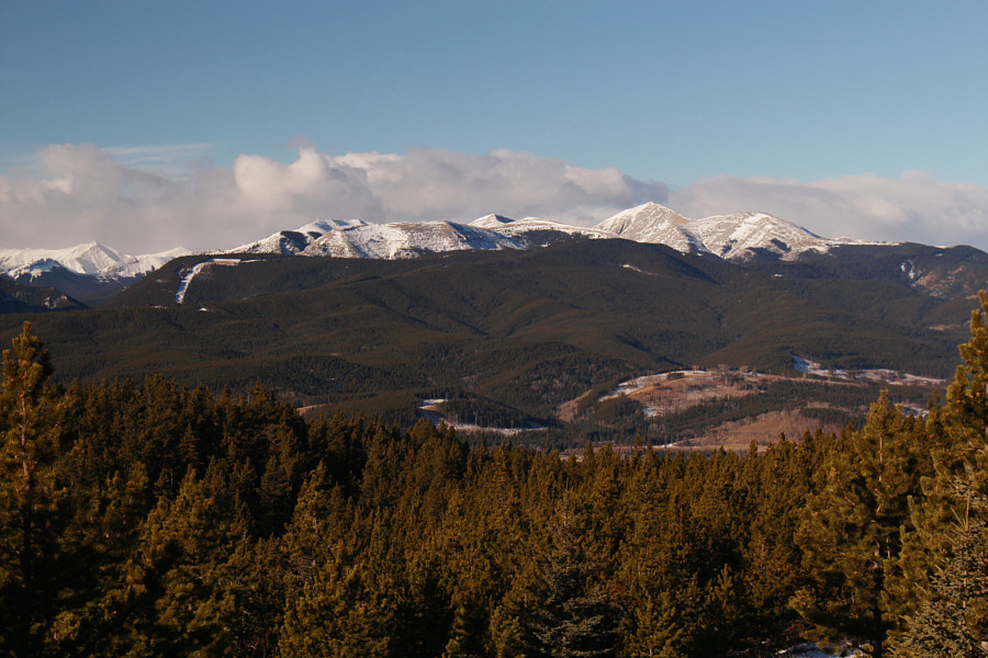
The most prominent peak to the northwest is Moose Mountain.
Not as straightforward a descent as we had hoped! The group leaves the summit of McLean Hill.
Too bad we didn't bring ice skates! 
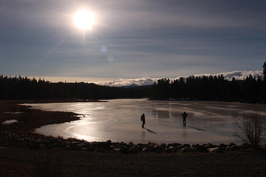
Marta and Kevin test the ice on frozen McLean Pond.
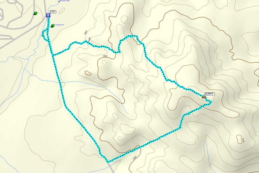
A nice shoulder-season objective especially if you have to be back in town later in the afternoon! Total Distance:  8.6 kilometres
Round-Trip Time:  4 hours 20 minutes
Net Elevation Gain:  288 metres

GPX Data