BOU AVENUE
Hidden Creek Ridge

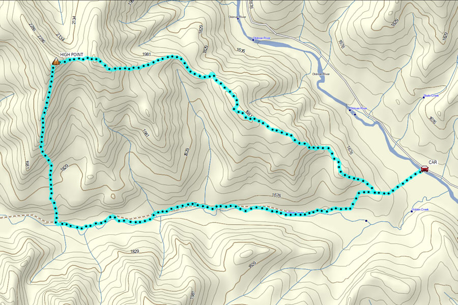
On 21 October 2023, Aga Sokolowska, Zosia Zgolak and I traversed an unnamed ridge north of Hidden Creek in Alberta's Livingstone Public Land Use Zone.  As far as I can tell, I have not seen any other online trip reports for this particular ridge; therefore, I have taken the liberty to name it "Hidden Creek Ridge".  I had originally proposed to do a clockwise loop by hiking west along Hidden Creek Trail, climbing the steep but mostly open south ridge and then returning via the longer but undulating east ridge.  However, Zosia made the brilliant suggestion to do the loop counter-clockwise.  This way, we would do most of our off-trail route-finding at the beginning of the trip and save the straightforward trail for our hike out at the end of the day.

From Highway 22, turn west onto Maycroft Road (south of the bridge over Oldman River), 24.0 kilometres north of the junction with Highway 3 or 47.0 kilometres south of the junction with Highway 533.  Drive 22.0 kilometres to the junction with the Forestry Trunk Road (Highway 40) and turn right.  Drive 11.0 kilometres and turn left onto Oldman River Road.  Drive 7.8 kilometres and park in a large grassy pullout between the road and the river.  Hidden Creek Trail (exploration road) begins on the far side of the river.

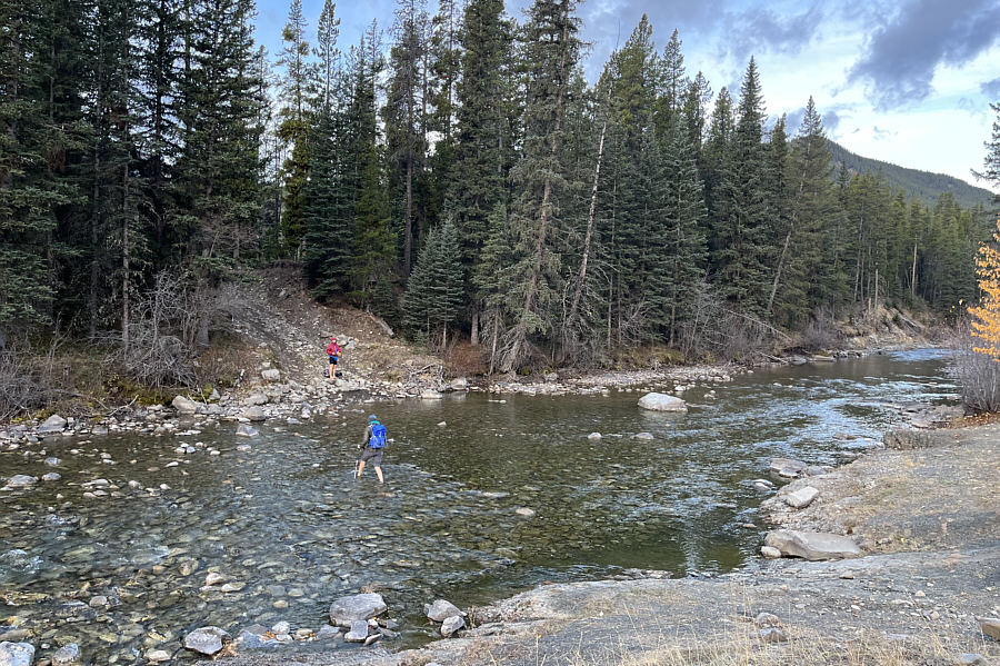
Aga, Zosia and I started the trip by fording ankle-deep Oldman River and following Hidden Creek Trail across a slash and up a short rise which is essentially the terminus of our objective's east ridge.  At the top of the rise, we abandoned the trail, and after going through a brief stretch of toothpick deadfall, we settled into a long but fairly pleasant ascent of the east ridge.  There are two significant dips along the ridge--one about halfway up and the second just before the highest point.  We had to do a little route-finding in a few spots, but neither dip poses any serious challenges.  Upon reaching the high point of Hidden Creek Ridge, Aga and Zosia built a small cairn before we all took a relaxing lunch break.

When we resumed hiking, Aga, Zosia and I descended the crest of the open south ridge.  About halfway down, we left the crest and dropped down steep but uncomplicated grassy slopes on the east side of the ridge.  Entering forest at the bottom, we tramped through a short stretch of easy bush before popping out onto Hidden Creek Trail.  Aside from tiptoeing around a few mud holes and a final annoying climb up the short rise where we originally left the trail, we had no trouble cruising back to our starting point.  Another quick ford of Oldman River wrapped up a thoroughly enjoyable outing.
Hip-waders recommended! Zosia watches as Aga fords Oldman River at the start of the hike.
I biked this in 2004 but don't remember much about the ride.

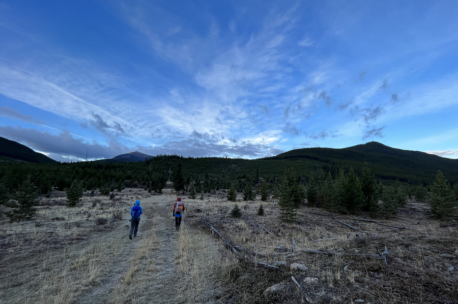
Aga and Zosia follow Hidden Creek Trail toward the forested ridge ahead.
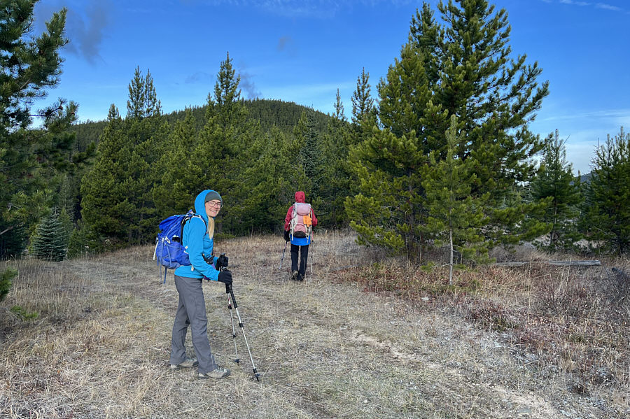
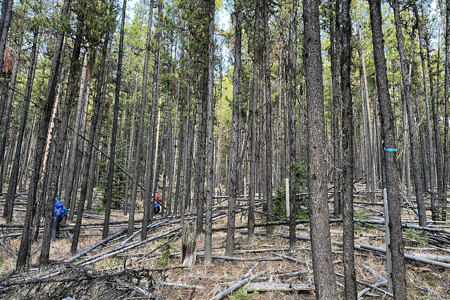
Heading into the unknown! Aga and Zosia leave Hidden Creek Trail here to begin ascending the east ridge.
Watch out for the barbed-wire fence here!

After leaving Hidden Creek Trail, there is some toothpick deadfall to navigate through, but the bushwhacking is generally not bad.
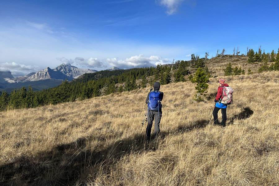
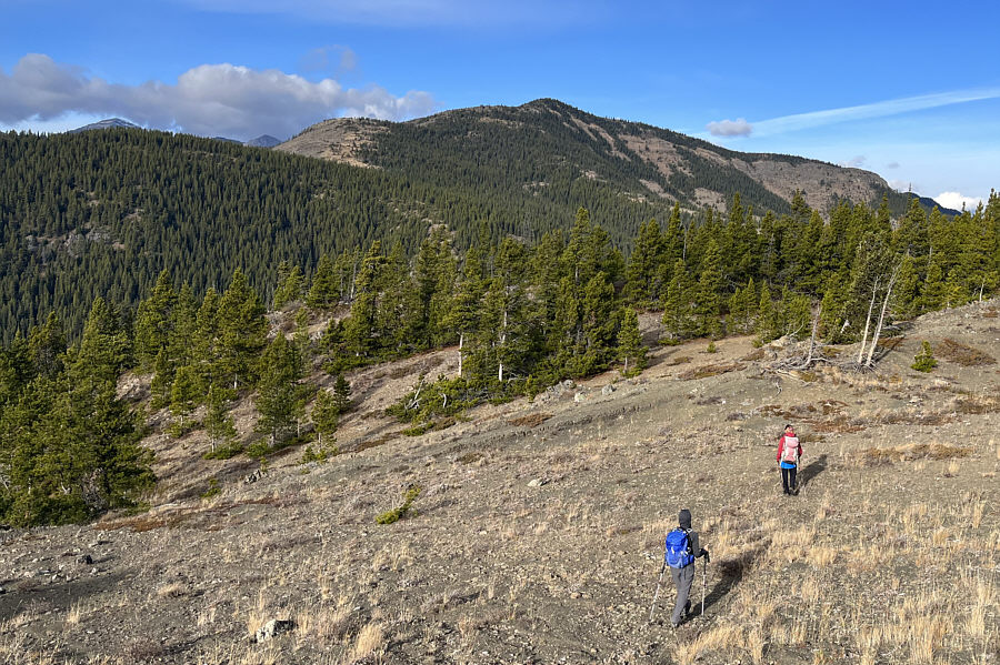
Great views already! Aga and Zosia reach one of the first scenic openings along the east ridge.
Good route-finding will minimize the grief! Most of the upper east ridge can be seen in the distance, but getting there will require some loss of hard-won elevation.
There's about an 80-metre drop through the dip. Just suck it up! This is looking back at a subsidiary high point along the east ridge.  Note the significant intervening dip.
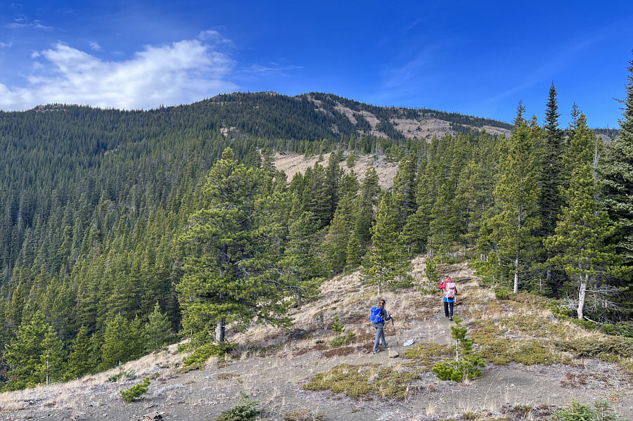
It's a long grind for sure! Aga and Zosia continue to work their way up the east ridge.
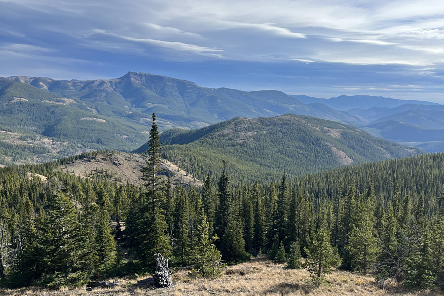
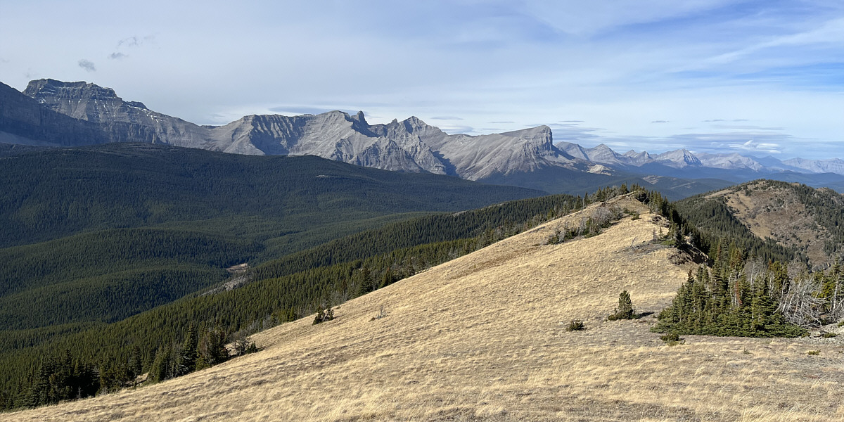
That southern high point of Cabin Ridge is calling my name! Here is a more comprehensive view of the east ridge from higher up.  The tilted flattop on the left horizon is the southern high point of Cabin Ridge.
One more steep grunt to go! This is looking across the final short dip before the highest point of Hidden Creek Ridge.
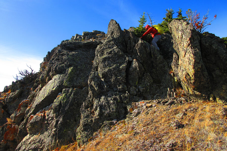
A fun way to finish the ascent. The crags just below the highest point are entirely avoidable, but Sonny opts to scramble up them anyway for fun.

Photo courtesy of Zosia Zgolak
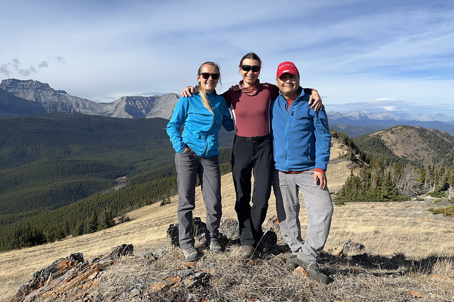
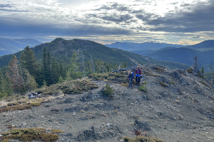
No cairn here, so Aga and Zosia built one! Aga, Zosia and Sonny stand on the high point of Hidden Creek Ridge (2327 metres).

This view made all the ups and downs worthwhile!

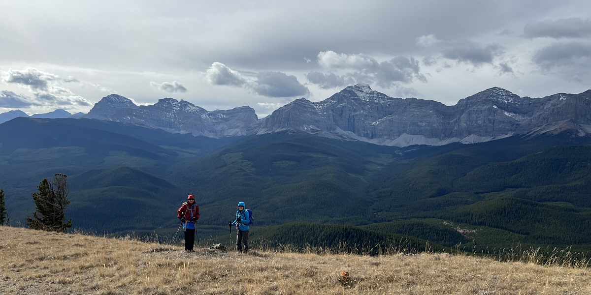
The Elevators (pinnacles at centre) and Beehive Mountain (right of centre) are easily recognizable to the northwest.
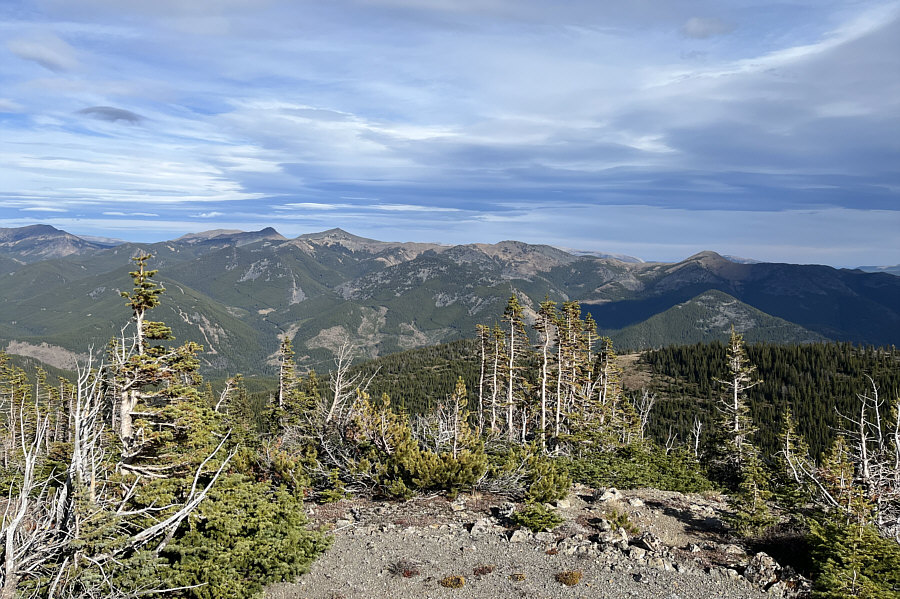
 

I wonder why they named the bumps after a weird TV show... In this view to the northeast, the Twin Peaks (left horizon) are the highest points of Cabin Ridge.

Gould Dome is on my "to-do" back-burner...

Gould Dome (far left) and Tornado Mountain (right of centre) capture all the attention to the southwest.
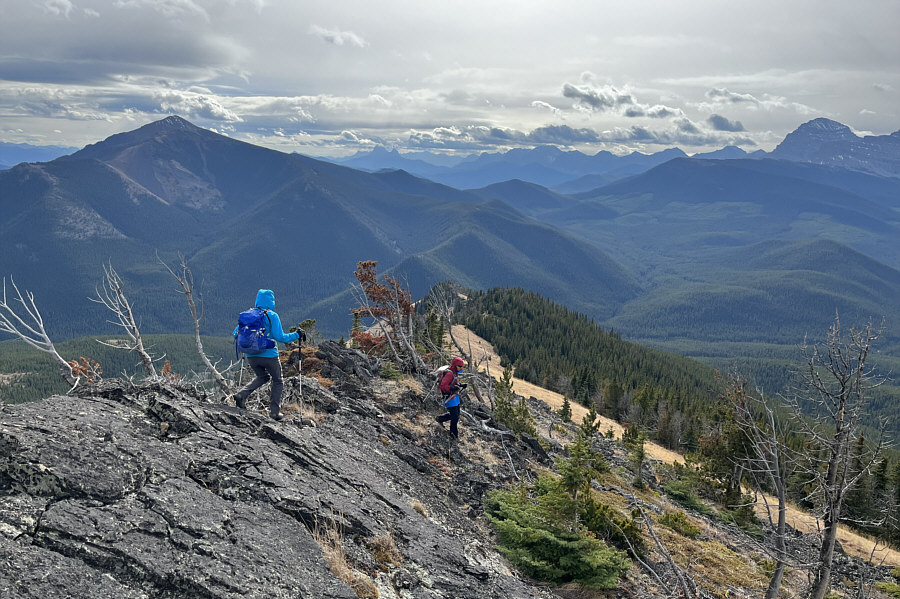
 

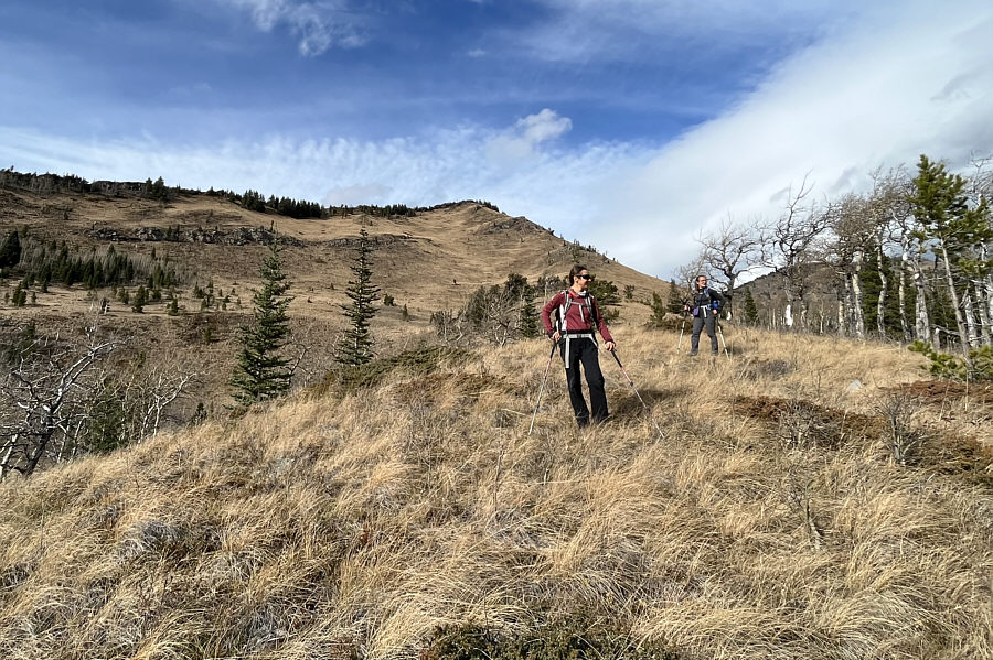
Easy stuff! Aga and Zosia descend the crest of the south ridge.
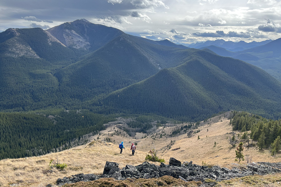
This will cut some distance along Hidden Creek Trail. Eschewing the ridge crest, Aga and Zosia drop down steep grassy slopes.  Across the valley is Sugarloaf Lookout.
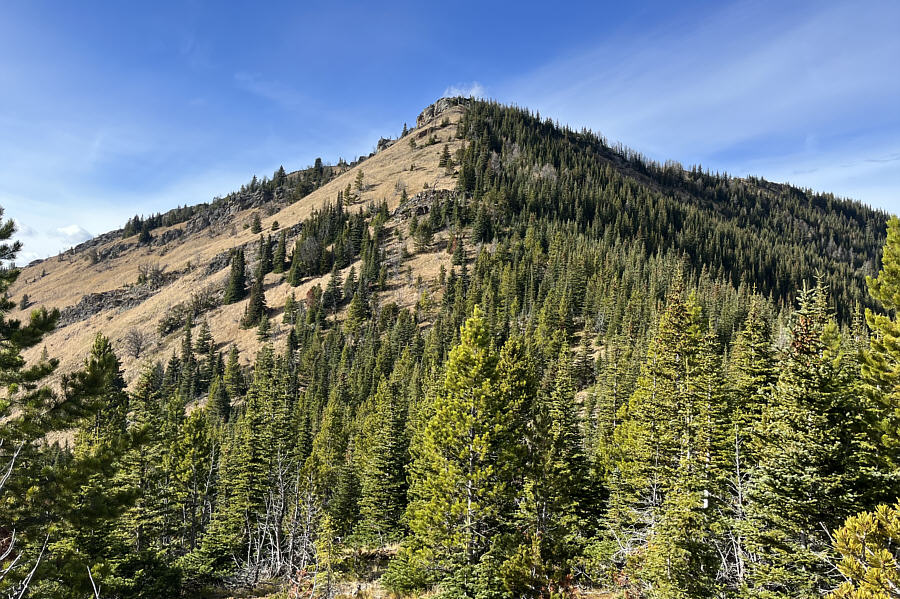
I'm glad we didn't ascend this way! Here is a look back up the slope that Zosia and Aga descended.
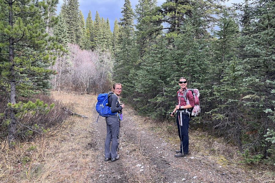
Time to put it on cruise control! Aga and Zosia regain Hidden Creek Trail and prepare for the long but easy walk out.
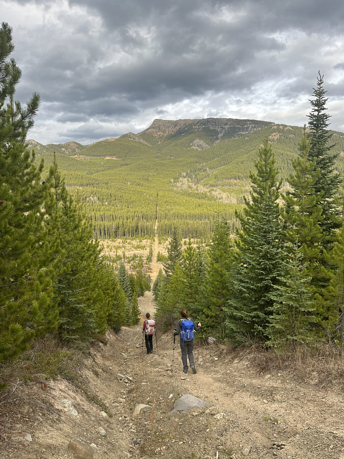
The end is in sight! Zosia and Aga descend the final downhill section of the day.
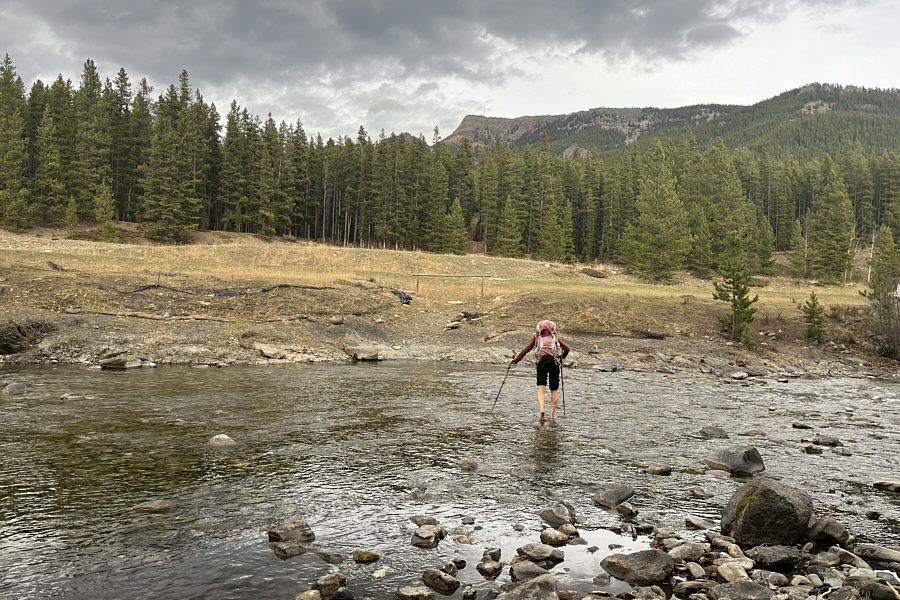
Nice to have clean feet at the end of a hike! Zosia fords Oldman River for a second time to conclude the trip.
A fantastic alternative to Sugarloaf Lookout. Total Distance:  14.6 kilometres
Round-Trip Time:  8 hours 35 minutes
Cumulative Elevation Gain:  920 metres

GPX Data