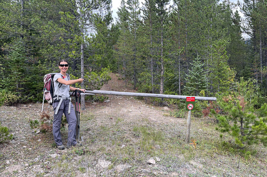
Abandoning the main road, Zosia searches fruitlessly for the start of a loop trail that is marked in OpenTopoMap.
Bushwhacking on Mount McCarty is typically like this.
|
|
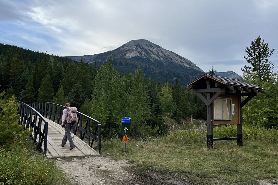
Mount McCarty is visible in the distance as Zosia crosses a footbridge over Carbondale River. |
|
|
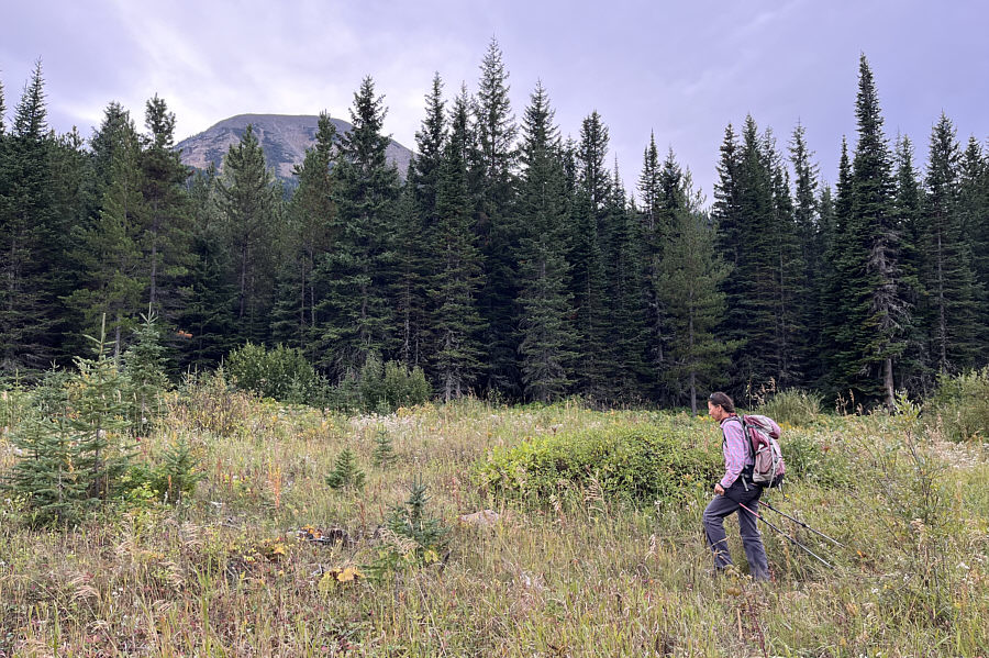
Abandoning the main road, Zosia searches fruitlessly for the start of a loop trail that is marked in OpenTopoMap. |
|
|
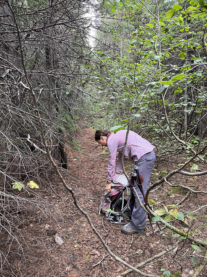
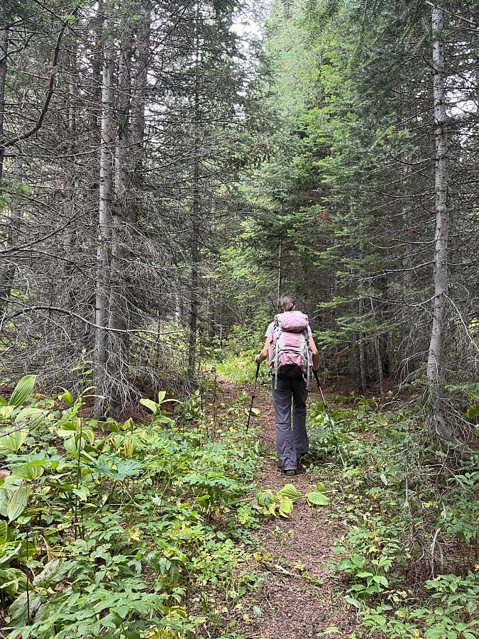
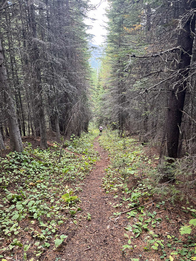
Zosia finds an old road which is severely overgrown and largely reclaimed. |
|
|
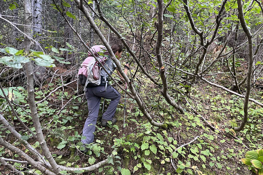
Bushwhacking on Mount McCarty is typically like this. |
|
|
After 1.5 hours of bushwhacking, Zosia finally stumbles onto a secret trail. |
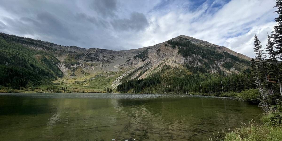
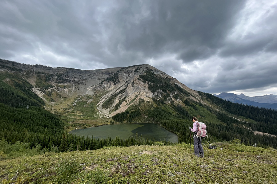
An unnamed lake is tucked in a bowl on the northeast side of Mount McCarty.
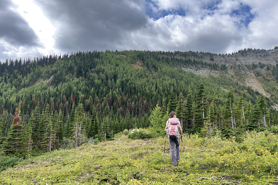 |
Above the lake, Zosia makes her way toward Mount McCarty's east ridge. |
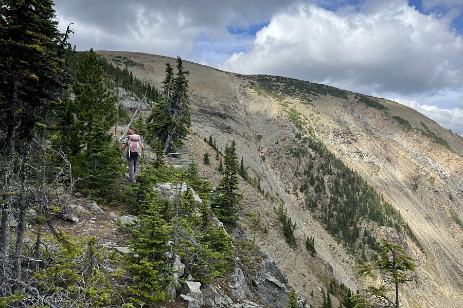 |
Route-finding and travel are much easier once Zosia gains the east ridge. |
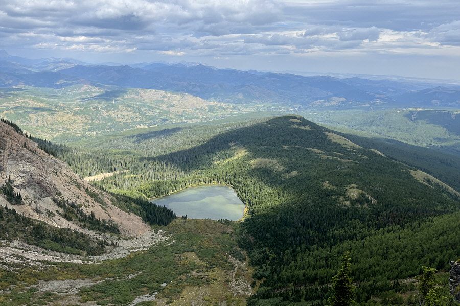 |
Here is an aerial view of the unnamed lake from the east ridge. |
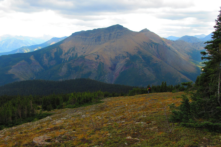 |
Syncline
Mountain dominates the background as Sonny makes his way up
through the last trees. Photo courtesy of Zosia Zgolak |
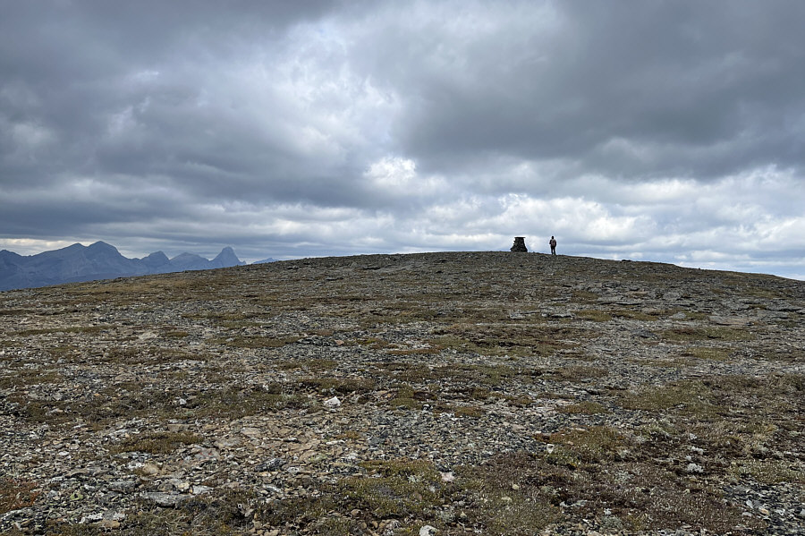 |
A solitary cairn stands out on the broad summit plateau of Mount McCarty. |
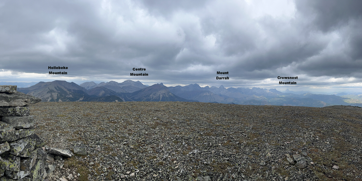
Despite cloudy skies, some notable peaks to the northwest can still be distinguished.
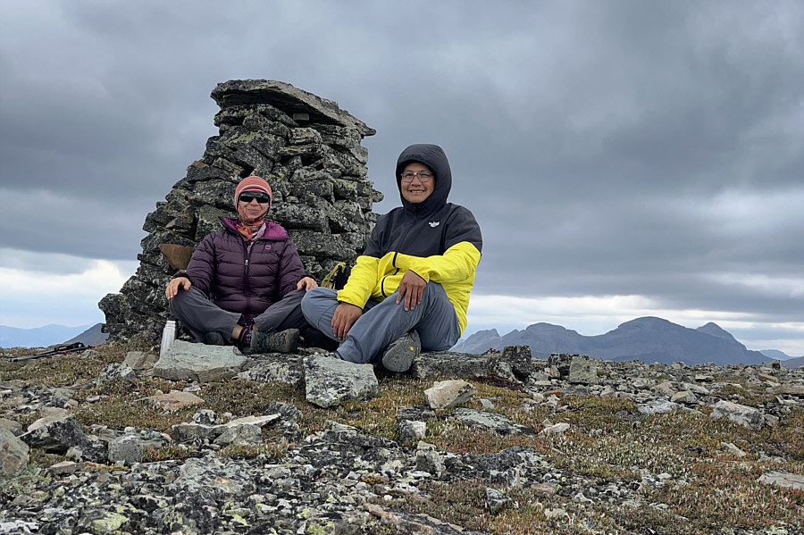 |
Zosia and Sonny take shelter from the wind behind the large cairn on the summit of Mount McCarty (2365 metres). |
 |
Zosia prepares to descend back to the unnamed lake. |
 |
Zosia follows the secret trail out. |
 |
The secret trail connects with an exploration road that joins the main road at this horse hitch. |
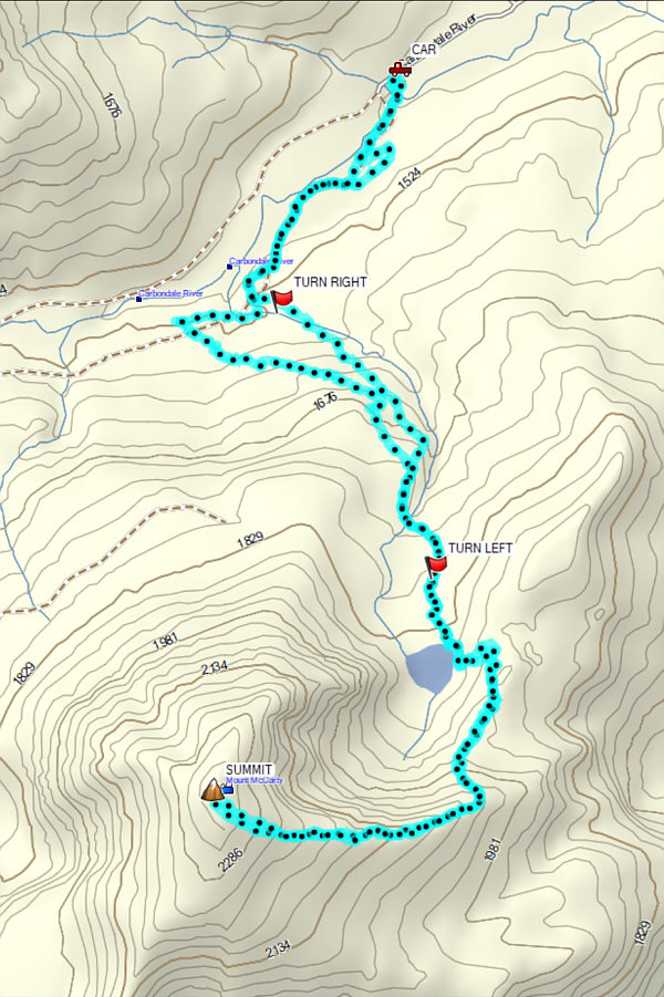 |
Total
Distance: 14.2 kilometres Round-Trip Time: 8 hours 16 minutes Cumulative Elevation Gain: 894 metres |