 |
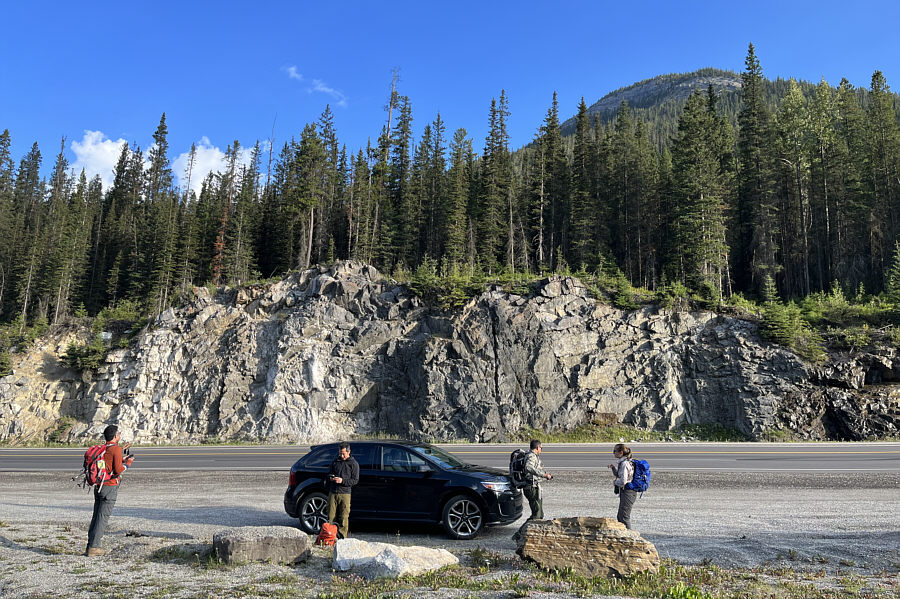
Ali, Shaun, Daniel and Aga get ready at the highway pullout. Mount Ogden's south ridge is visible at upper right. |
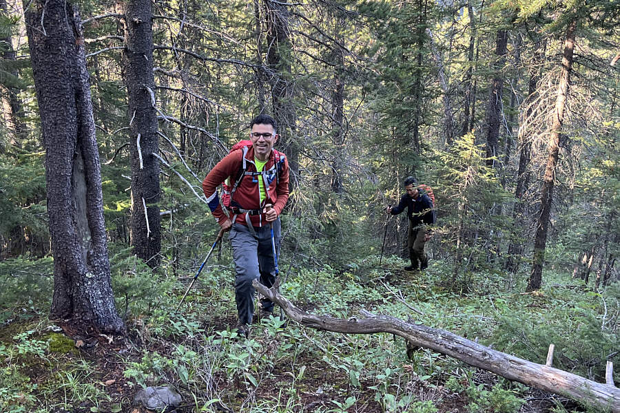 |
Ali and Shaun grind their way up the forested lower part of the ridge. |
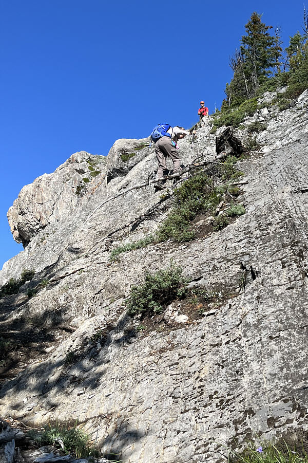 |
Shaun watches Aga climb up a rock slab along the ridge. |
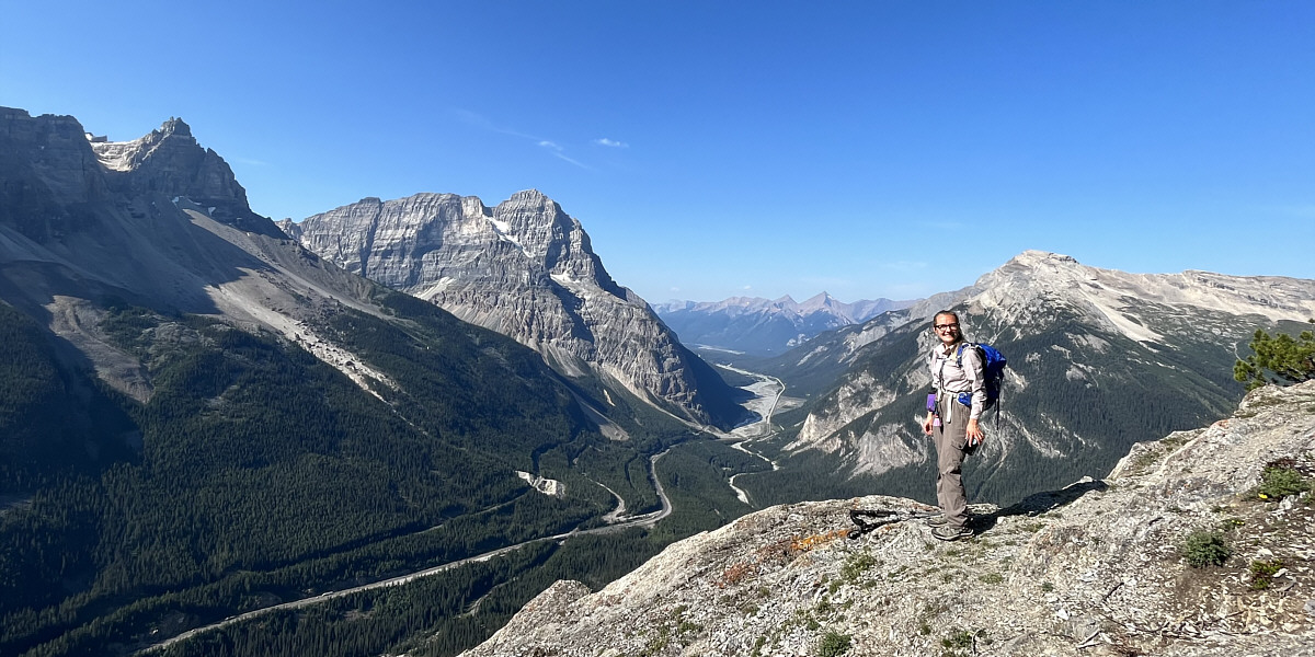
Above the rock slab that Aga climbed is this viewpoint of Mount Stephen (left of centre) and Mount Field (right).
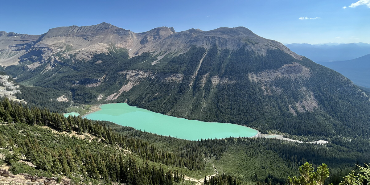
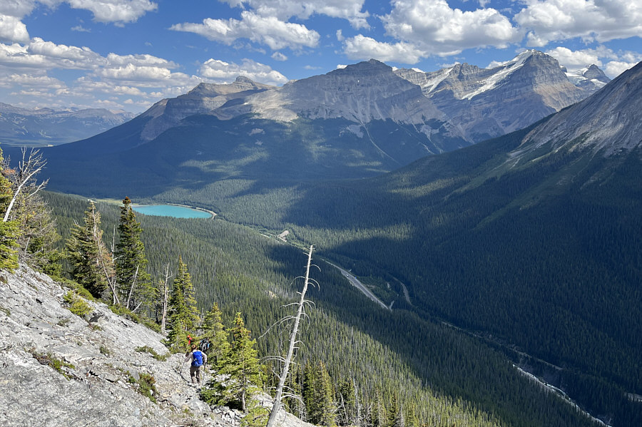
Trees thin out higher up the ridge to reveal Sherbrooke Lake. At right is Paget Peak.
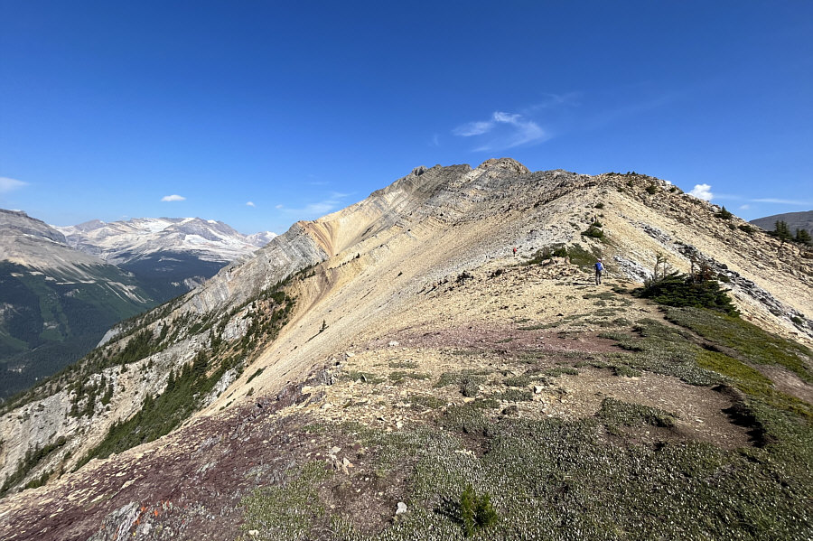 |
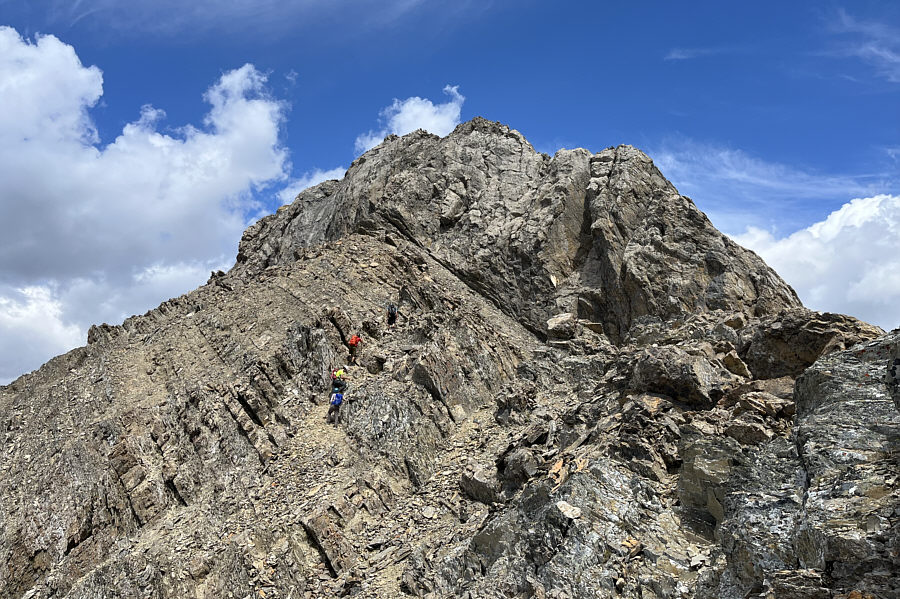
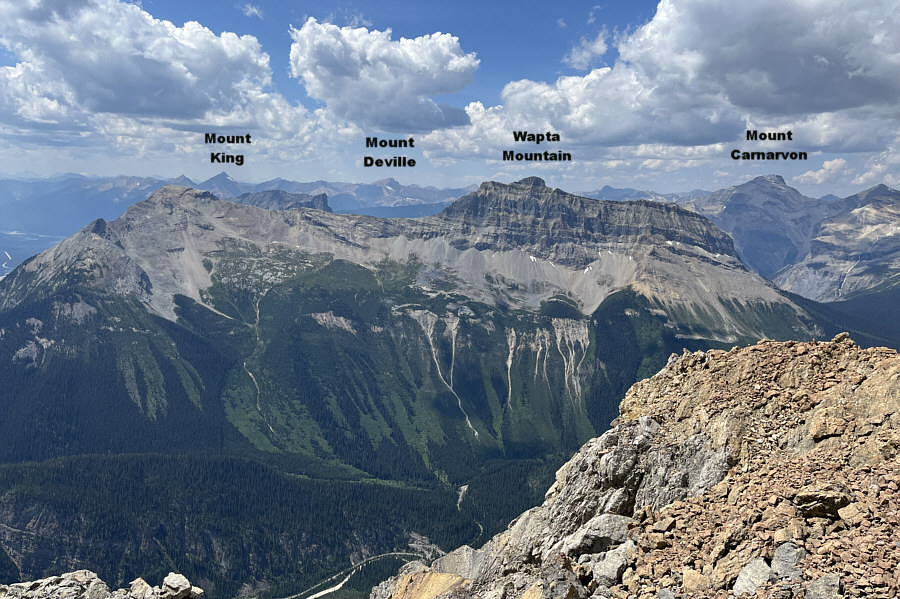
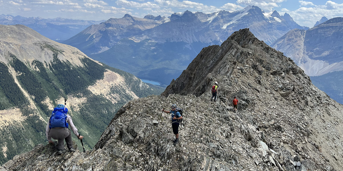
Mount Ogden's summit is visible at the far end of the ridge. |
 |
For some sections of the ridge, it is easier to traverse below the crest. |
 |
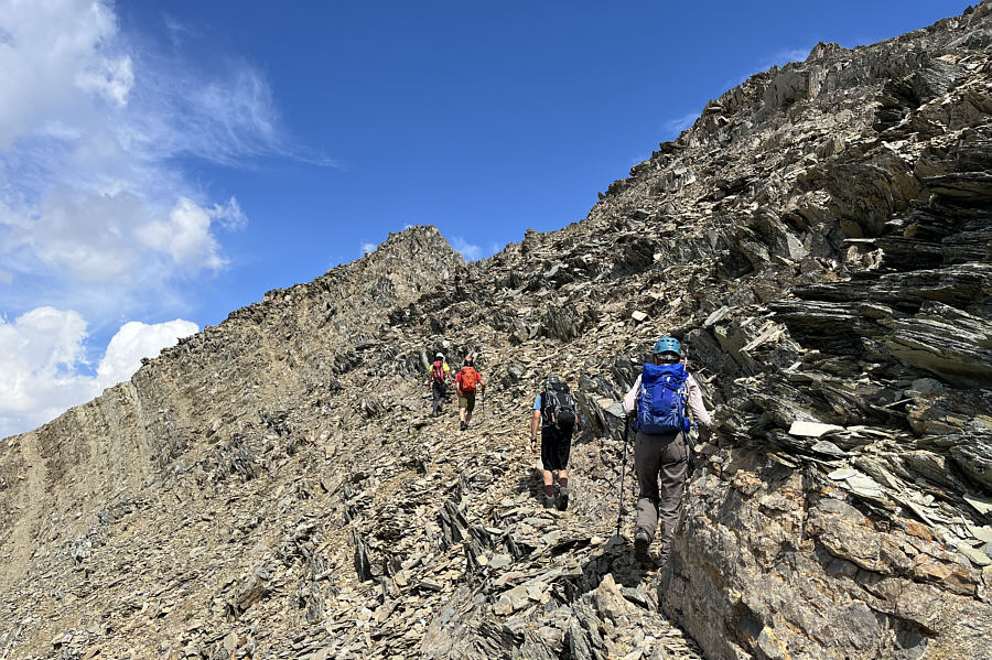
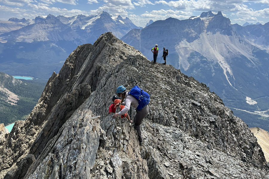
The group sticks to the ridge crest as they approach the summit block (right). |
 |
The south side of the summit block is guarded by big cliffs. |
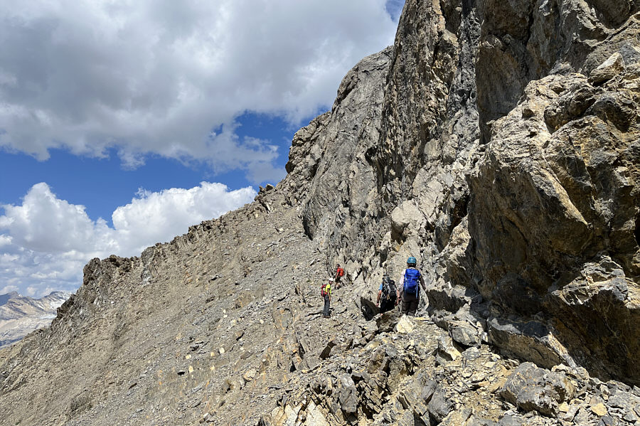 |
The group traverses along the base of the cliffs on the west side of the summit block. |
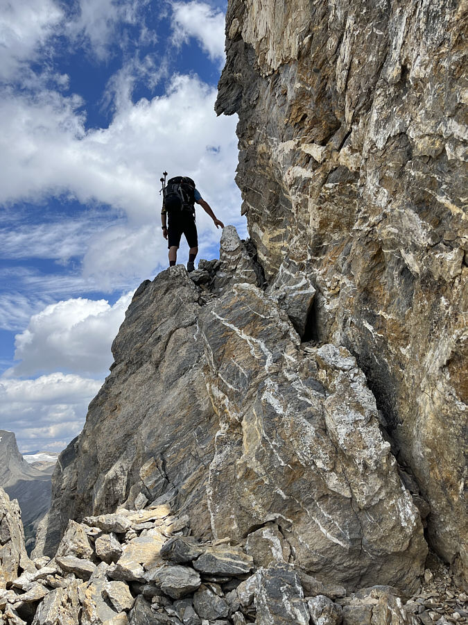 |
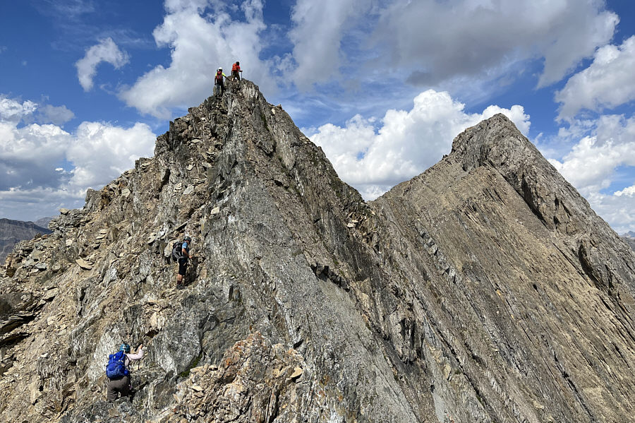
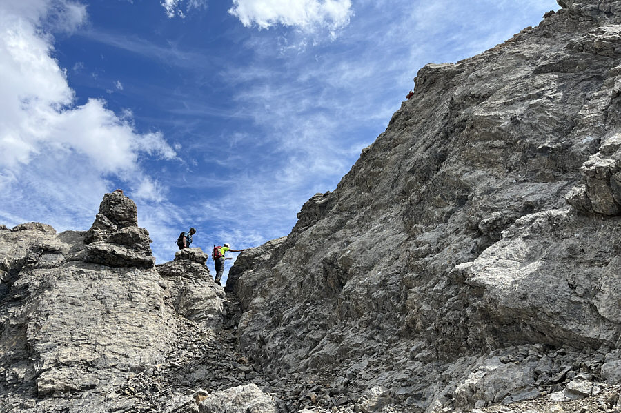
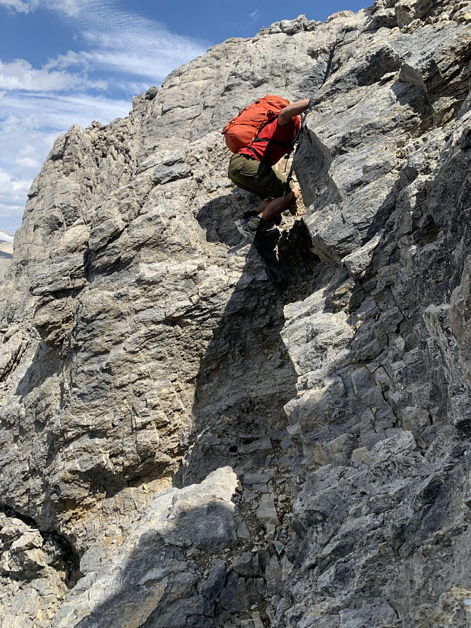
Daniel arrives at the start of the crux which is just around the corner. |
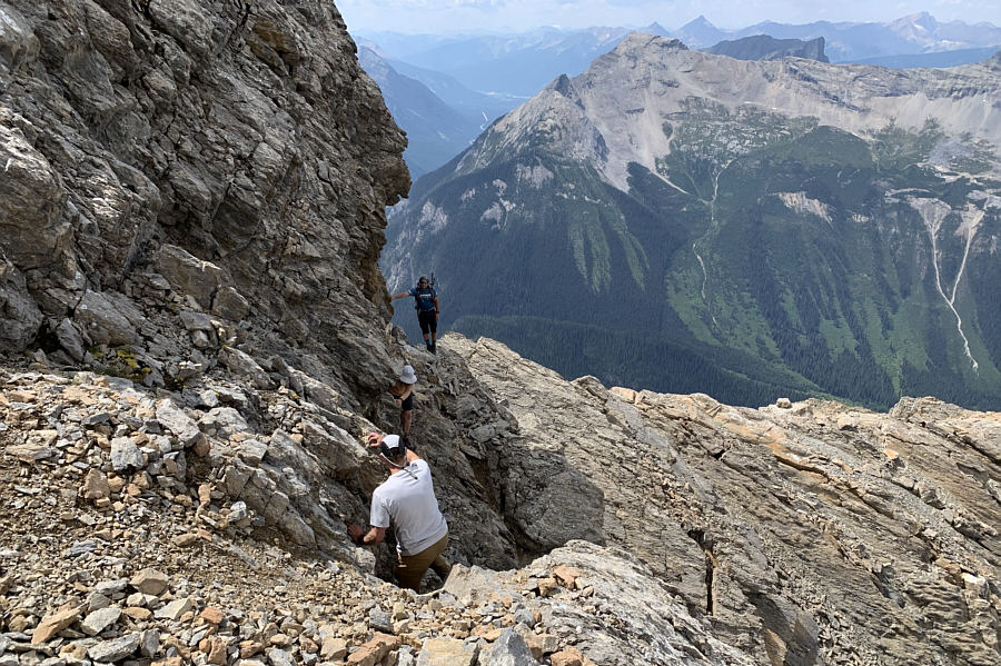 |
Daniel waits as a couple of other
scramblers make their way across the crux which is a moderately
exposed down-sloping ledge. Photo courtesy of Ali Shariat |
 |
Past the crux, Daniel and Ali prepare to scramble up the remaining short stretch to the summit. |
 |
Shaun, Daniel, Ali and Sonny stand on the summit of Mount Ogden (2704 metres). |
The President and The Vice President are visible at left in this view to the northwest as Ali begins his descent from the summit.
 |
Here is the view to the north from the summit. |
 |
Here is the view to the south from the summit. |
 |
The view to the west is mostly dominated by Mount Field (left) and Wapta Mountain. |
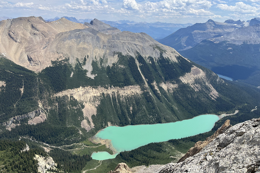 |
It is necessary to descend slightly to get this full view of Sherbrooke Lake from the summit. |
 |
Shaun carefully descends a short chute
at the crux. Photo courtesy of Ali Shariat |
 |
Aga again traverses below the summit cliffs on the return trip. |
 |
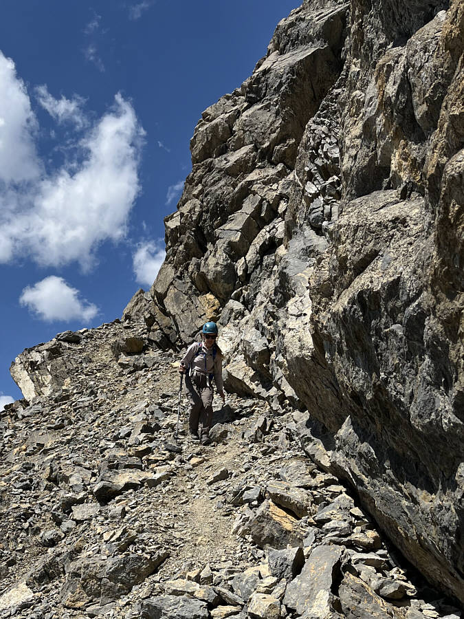
Ali and Daniel wait for Shaun and Aga to descend a slightly exposed step along the ridge crest. |
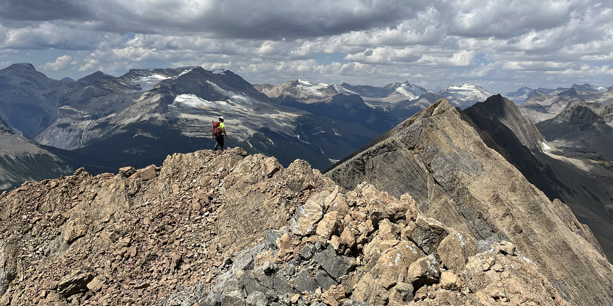
The return trip along the ridge is both scenic and tedious.
 |
The group is a bit off-route here while descending to the highway. Visible at left is Wapta Lake. |
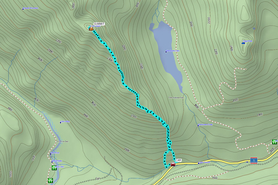 |
Total
Distance: 10.3 kilometres Round-Trip Time: 9 hours 29 minutes Net Elevation Gain: 1178 metres |