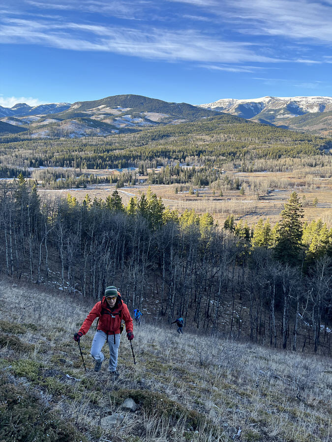
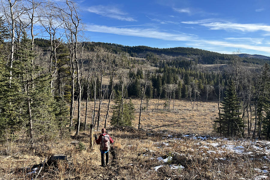
Shaun, Aga and Wil climb a steep grassy slope on the west face of the hill.
|
|
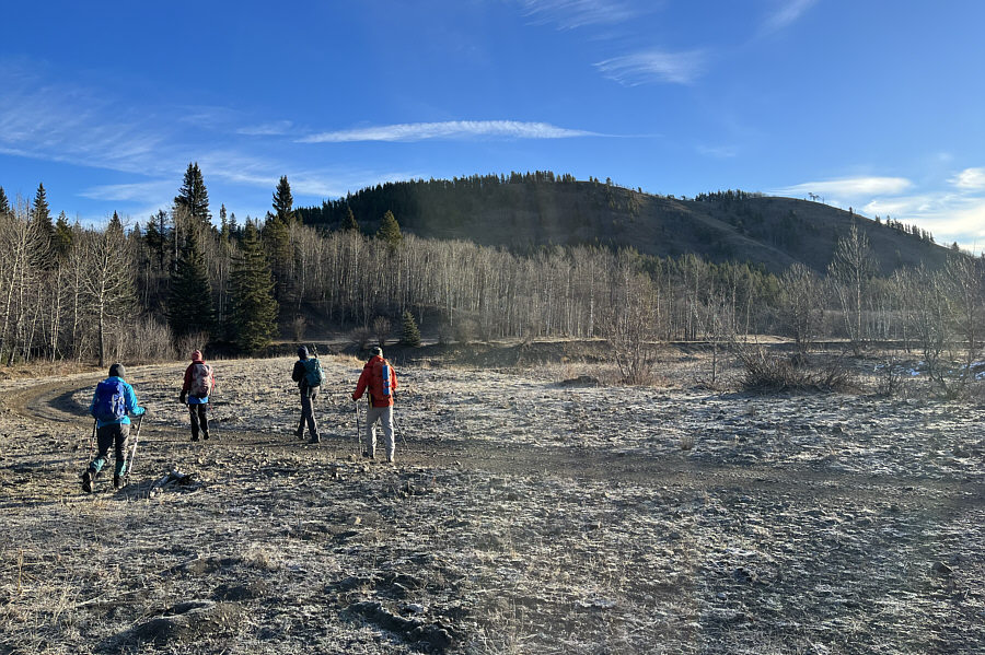
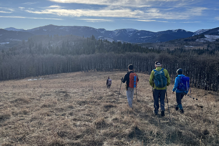
Aga, Zosia, Wil and Shaun aim for the hill in the background. |
|
|
Shaun, Aga and Wil climb a steep grassy slope on the west face of the hill. |
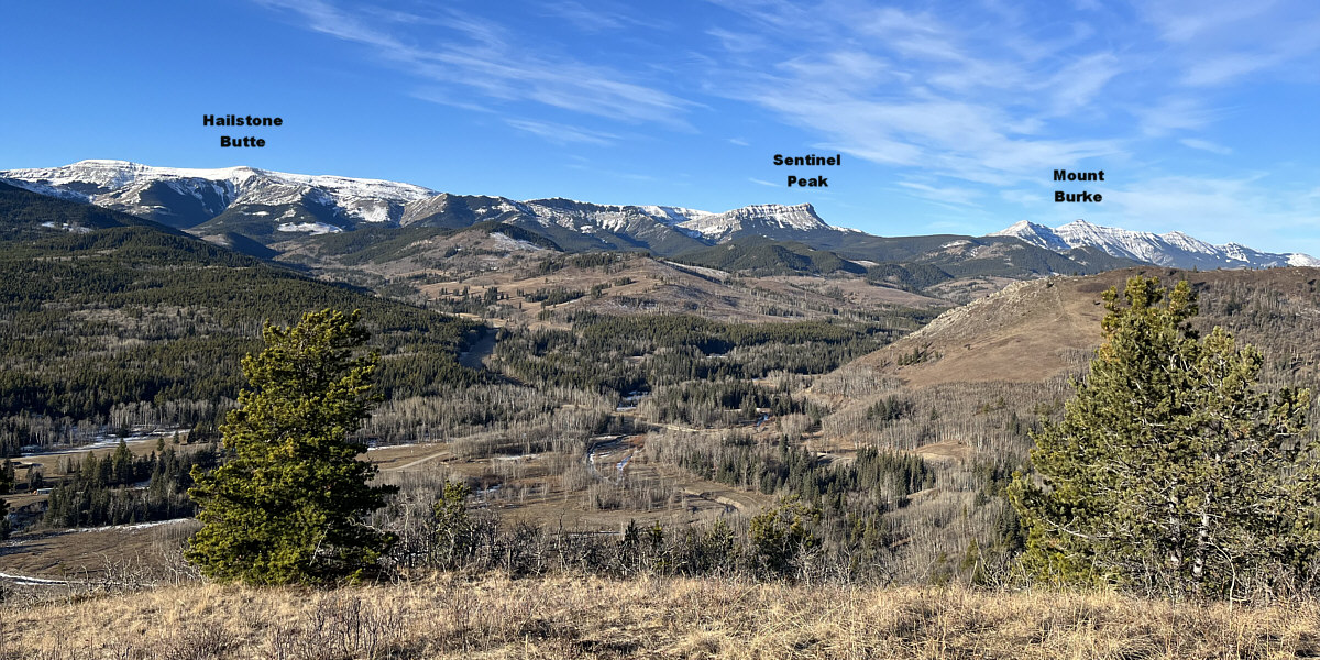
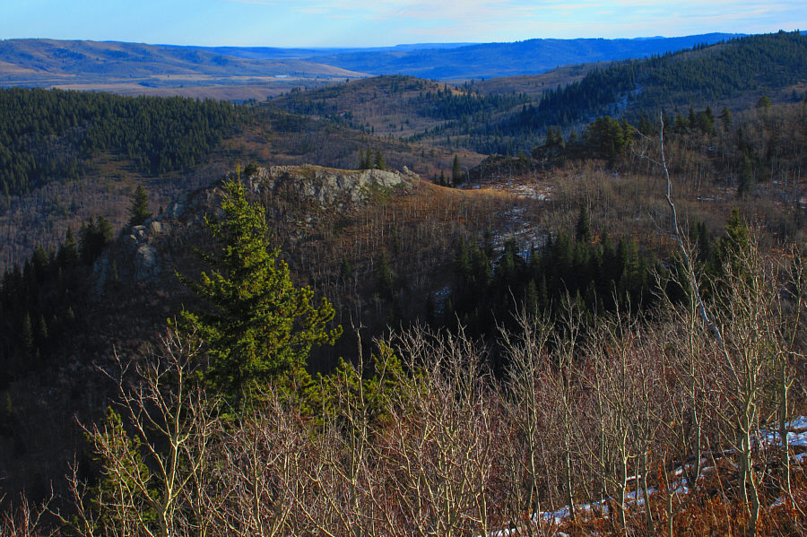
This is the view to the southwest from the top of the hill.
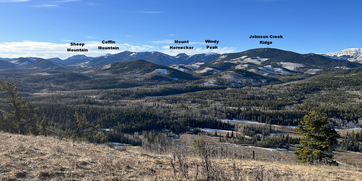
The view to the west includes Indian Graves Ridge in the foreground at right.
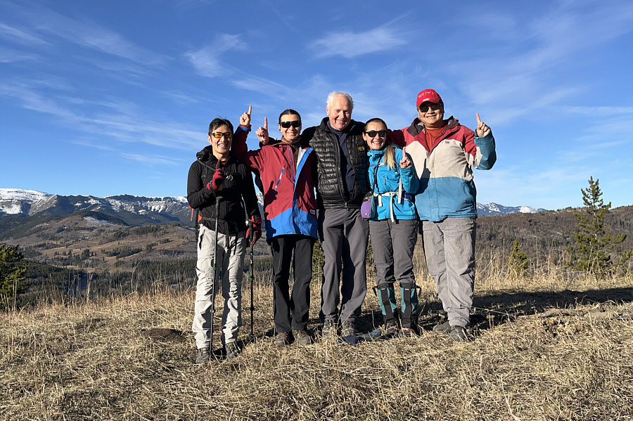 |
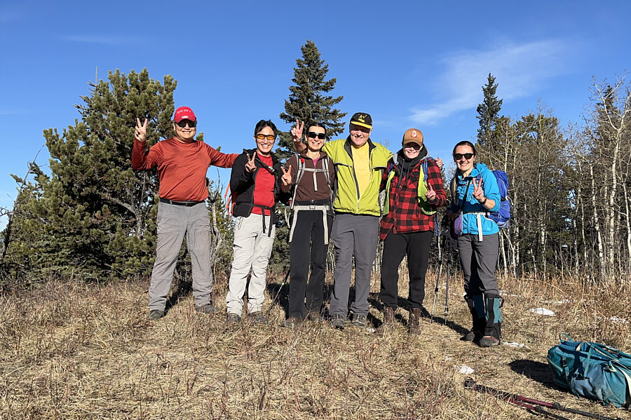
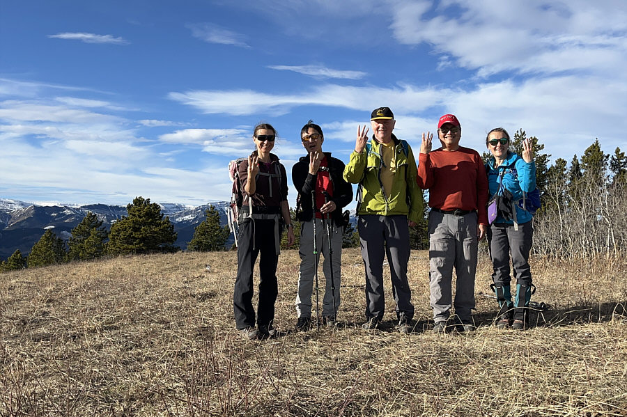
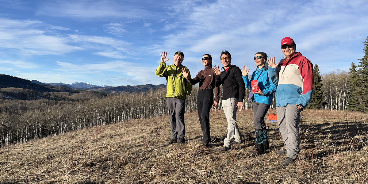
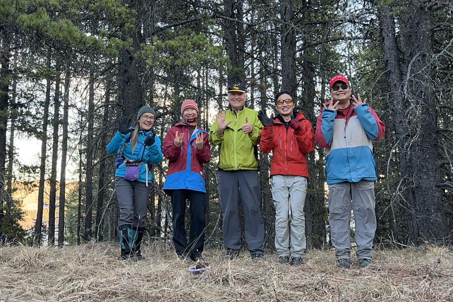
Shaun, Zosia, Wil, Aga and Sonny tag their first high point (HP1; 1598 metres) of the day. |
 |
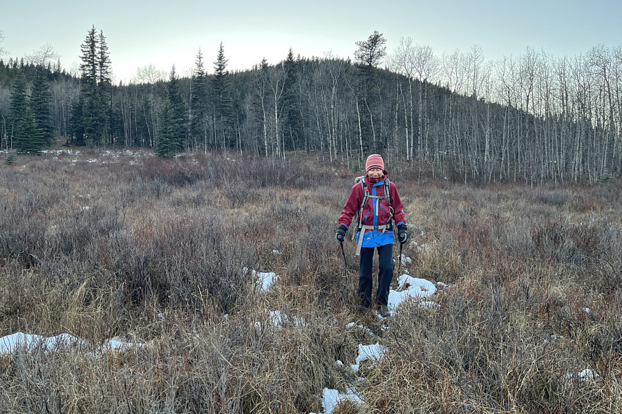
Zosia heads toward the next hill to the east. |
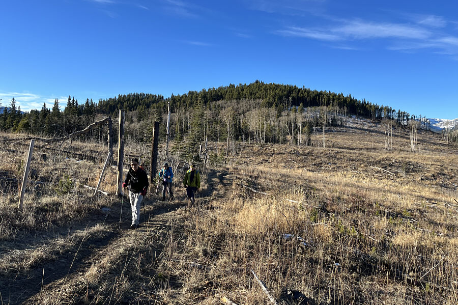 |
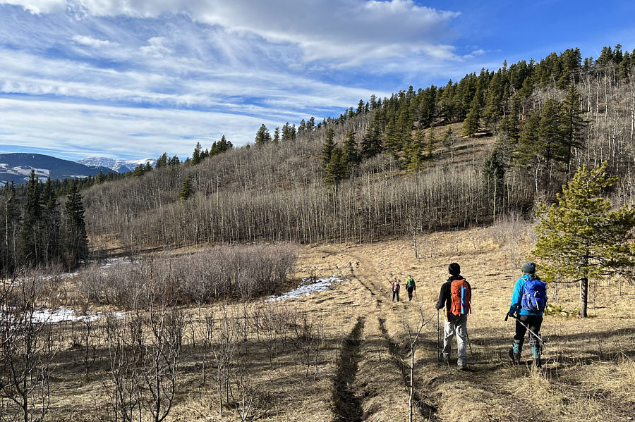
Shaun, Aga and Wil put the first hill behind them as they follow an ATV track along a fence. |
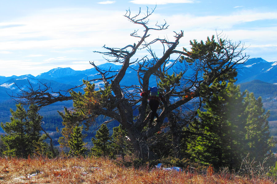 |
Surprisingly, there is a Cat in a tree
atop the second hill. Cat (or Kat) turns out to be a solo
female hiker from Nanton. Photo courtesy of Zosia Zgolak |
 |
Before departing, Cat (second from right) poses with the group on the second high point (HP2; 1653 metres). |
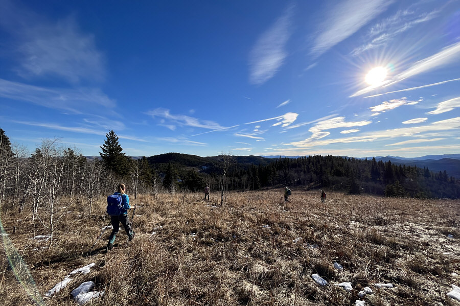 |
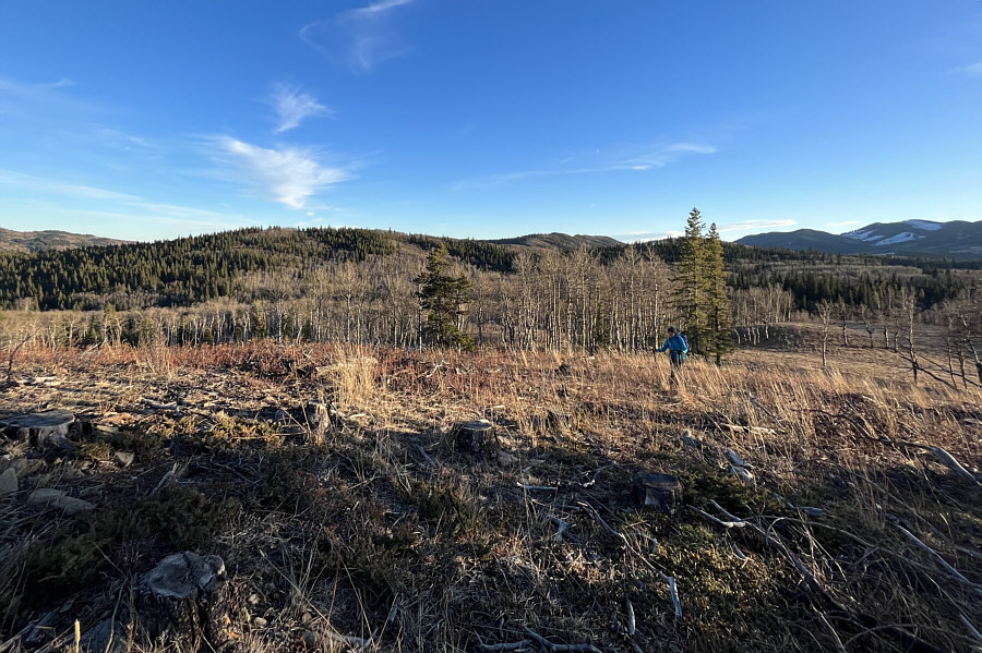
The group continues eastward toward the next hill in the distance. |
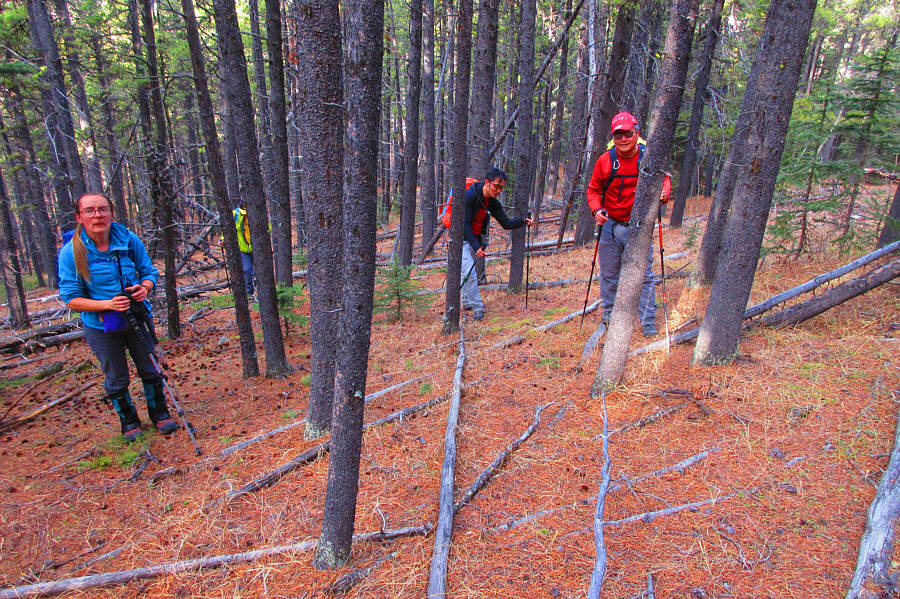 |
The group climbs a forested slope with
minimal toothpick deadfall. Photo courtesy of Zosia Zgolak |
 |
In this view to the east from the top of the third hill, a small sliver of Chain Lakes Reservoir is visible at far left. |
 |
This rugged outcrop to the east lies
on leased public agricultural land, and recreational access requires
the leaseholder's permission. Photo courtesy of Zosia Zgolak |
 |
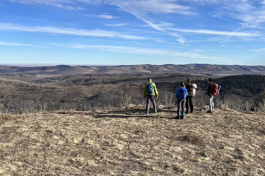
The group stands atop the third hill which would turn out to be the highest point (HP3;1664 metres) of the entire hike. Bob Spirko refers to this hill as "Willow Creek Knoll". |
 |
The group descends into the valley on an ATV track. |
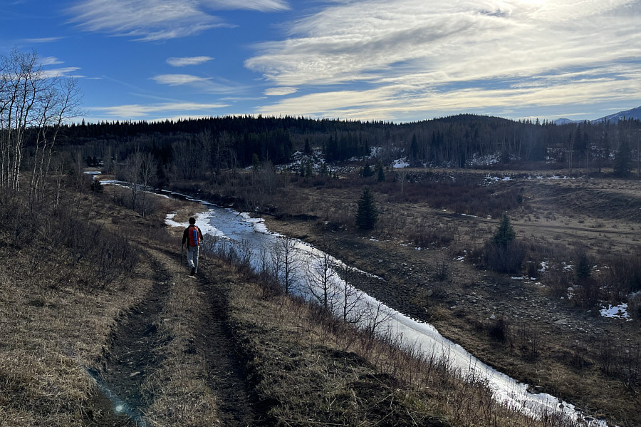 |
The ATV track runs alongside Willow Creek. The next objective is the bump on the right horizon. |
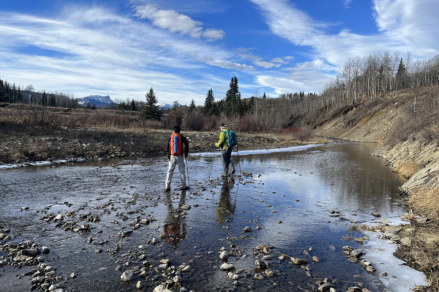 |
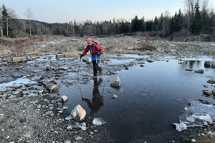
Shaun and Wil look for a suitably shallow section of Willow Creek to splash across without removing their boots. |
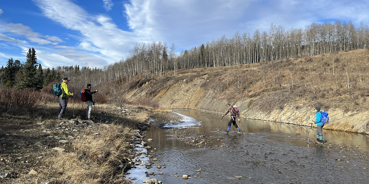
Wil and Shaun wait for Zosia and Aga to finish crossing Willow Creek.
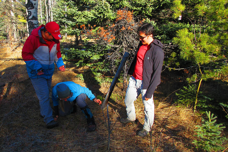 |
Aga squeezes through a barbed-wire
fence with some assistance from Sonny and Shaun. Photo courtesy of Zosia Zgolak |
 |
The group tags its fourth high point (HP4; 1549 metres) of the day. |
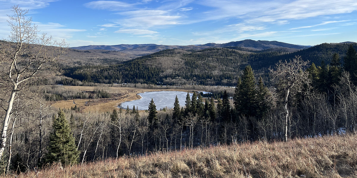
Southeast of the fourth hill is a frozen unnamed pond.
 |
The group easily makes its way to the fifth hill at left. |
Everyone still looks refreshingly happy on the fifth high point (HP5; 1551 metres).
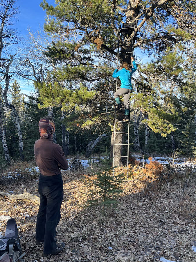 |
Zosia watches Aga climb up a hunter's tree stand located not far from HP5. |
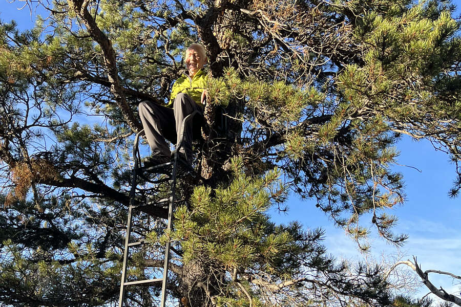 |
Wil is the King of the World. |
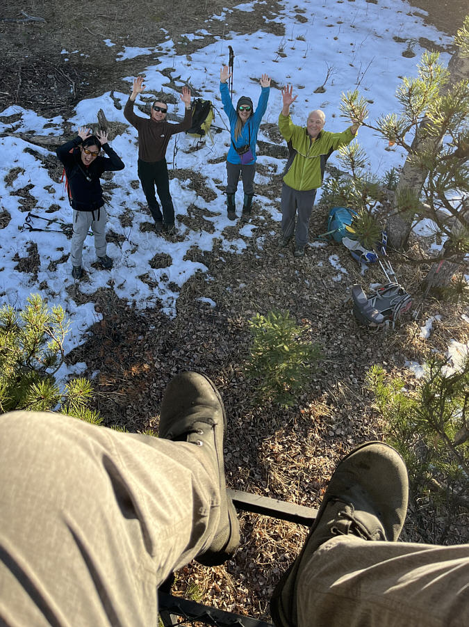 |
This is looking back down from the throne. |
 |
The fourth and fifth hills are visible at left and right in the background as Aga makes her way up the sixth and last hill of the day. |
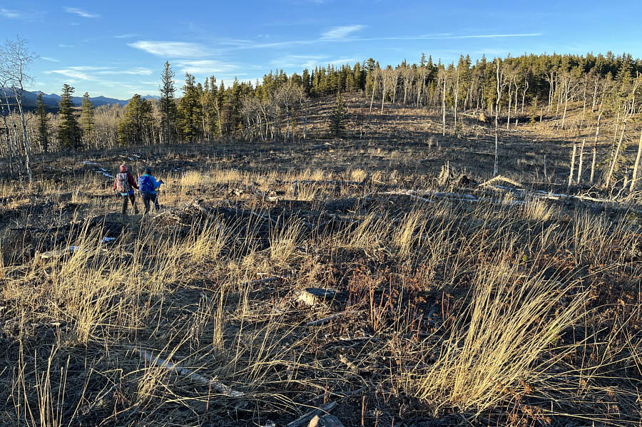 |
Zosia and Aga tramp through a logging slash on their way to the sixth high point which is somewhere in the trees at far right. |
 |
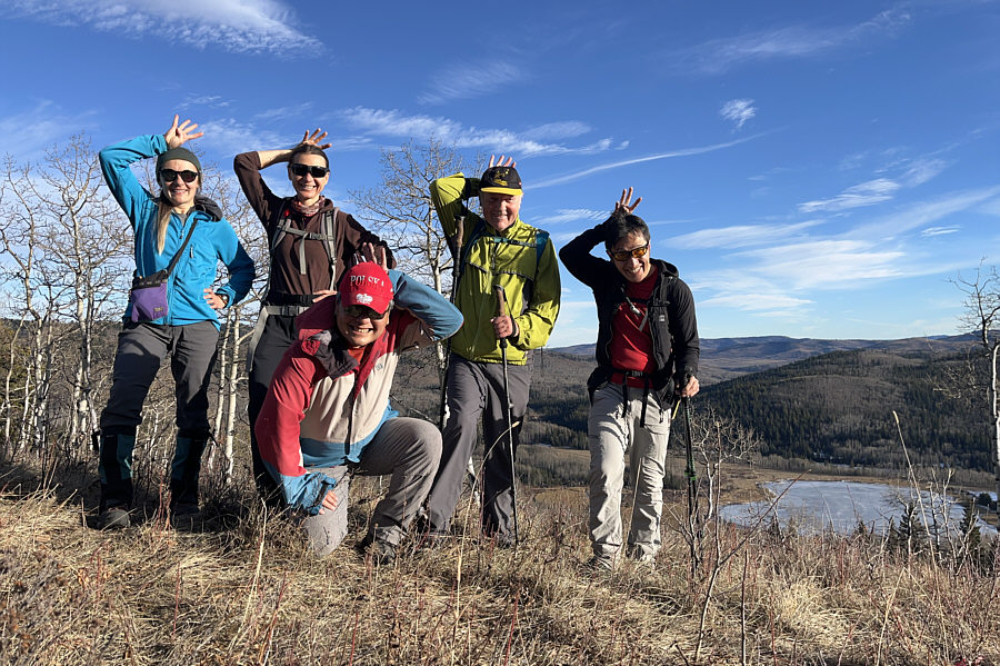
Aga, Zosia, Wil, Shaun and Sonny stand on the sixth and last high point (HP6; 1571 metres). |
 |
After a steep descent, Zosia puts the sixth hill behind her. |
 |
Zosia rock-hops across Willow Creek one last time. |
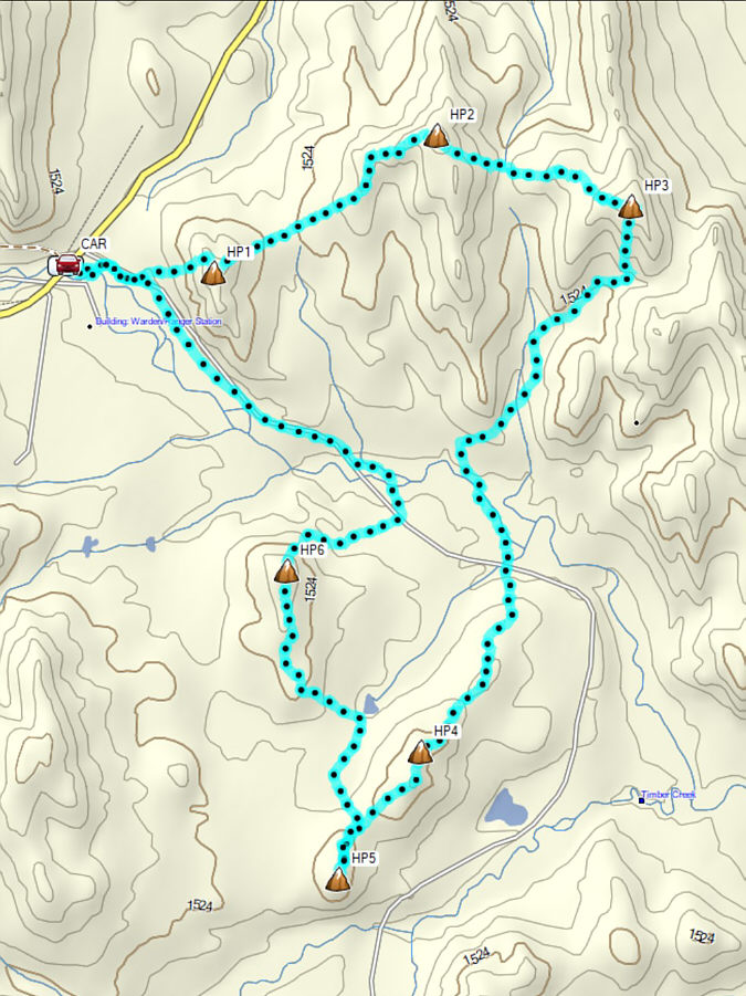 |
Total
Distance: 16.2 kilometres Round-Trip Time: 8 hours 16 minutes Cumulative Elevation Gain: 693 metres |