 |
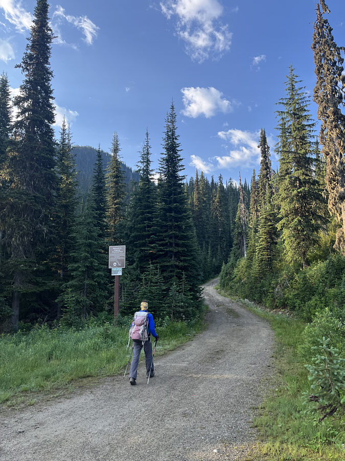
Zosia starts up Monk Creek FSR on the south side of the highway at Kootenay Pass. |
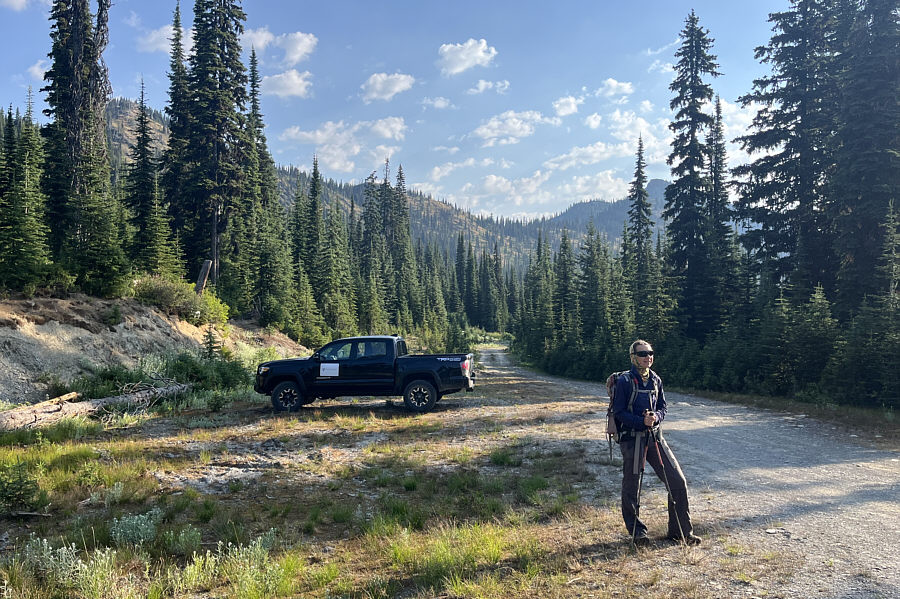 |
Zosia comes across a truck near the turnoff to Ripple Ridge and Lightning Strike Cabins which are located outside of Stagleap Provincial Park. |
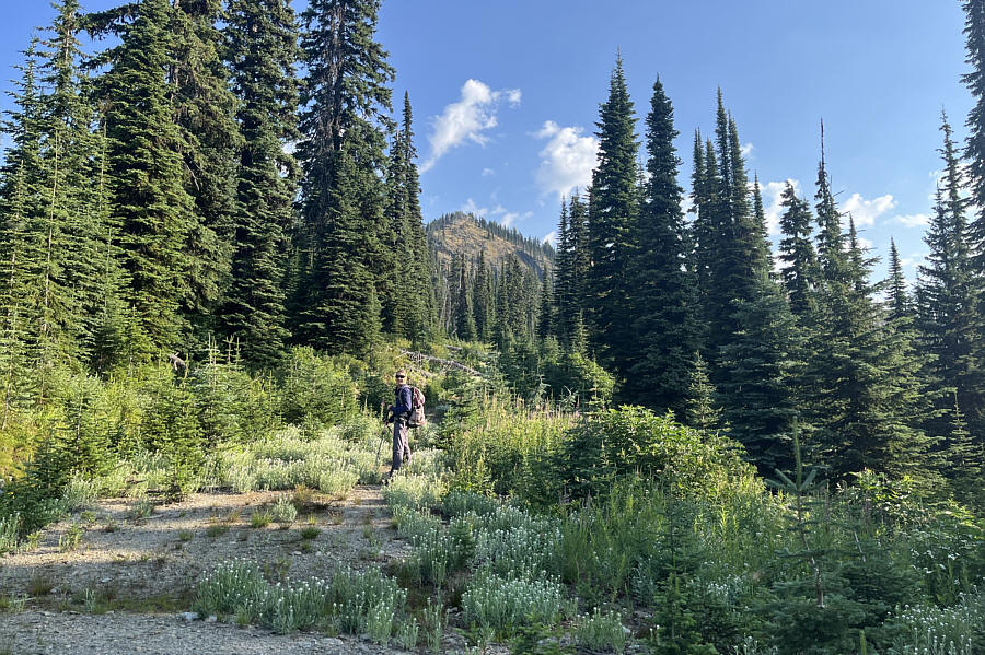 |
This reclaimed spur road is probably the best access point for Baldy Rocks which is visible in the distance. |
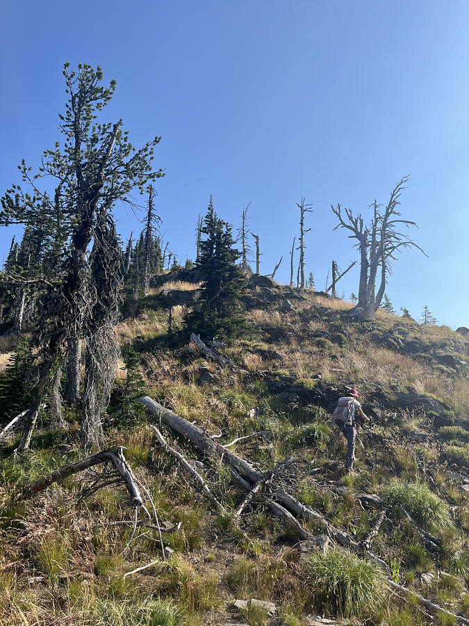 |
Zosia climbs up the south ridge of Baldy Rocks. |
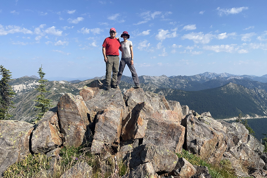 |
Sonny and Zosia stand on a pile of boulders near the summit of Baldy Rocks (2174 metres). |
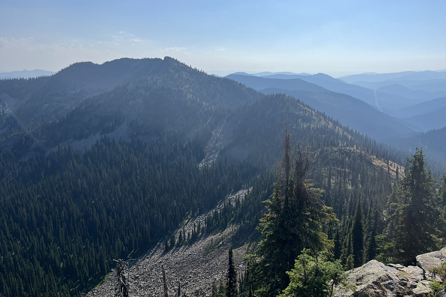 |
This is the connecting ridge to The Crags (left). |
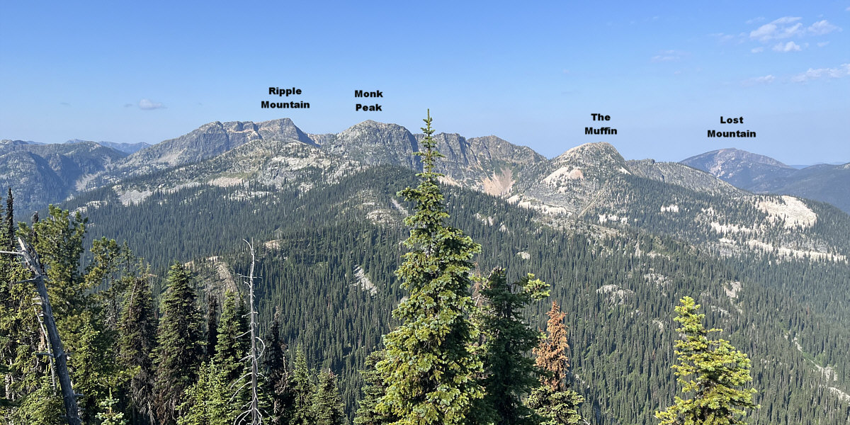
Here is a view to the southwest from the top of Baldy Rocks. The open ridge in front of Ripple Mountain is called Lightning Strike.
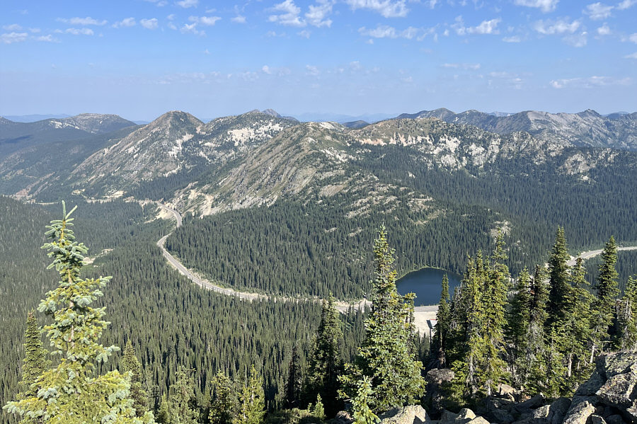 |
The view to the northwest includes Cornice Ridge (centre) and Bridal Lake. |
Zosia and I took only a slightly longer break atop The Crags before commencing our descent. Rather than suffer through another traverse of the ridge back to Baldy Rocks, we opted to simply drop down the very steep southeast slopes of The Crags aiming for an obvious road that we could see further down. Some route-finding was necessary here to avoid a few steep drop-offs, but we managed to slither our way down to the road quite straightforwardly. This road--most likely used to collect skiers coming off the ridge during ski season--eventually connects with Monk Creek FSR, and although the long walk back to Bridal Lake was simple enough, the heat from the afternoon sun certainly did not help alleviate our growing fatigue. Fortunately, we had plenty of cold water and drinks to refresh us when we returned to our car, and after packing up our gear, we promptly drove west and put the misery of climbing Baldy Rocks and The Crags far behind us.
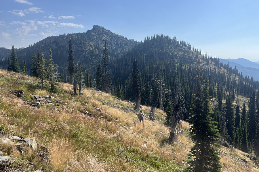 |
Zosia begins a rather arduous traverse of the connecting ridge to The Crags. |
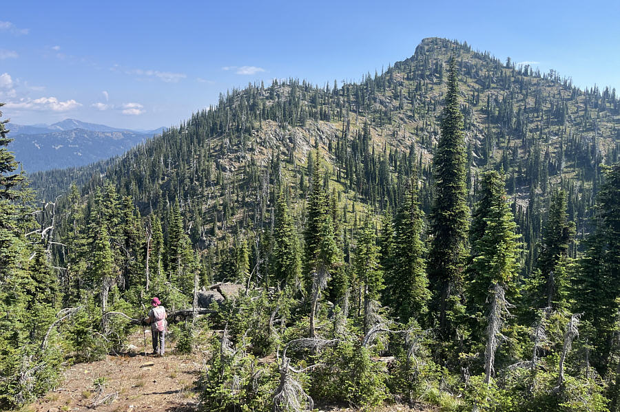 |
Zosia drops down the second of two major dips along the connecting ridge. The summit of The Crags is not visible here. |
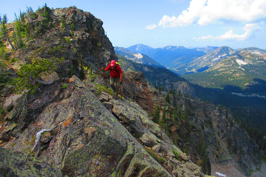 |
Sonny carefully picks his way along the top of the
precipitous north face of The Crags. Photo courtesy of Zosia Zgolak |
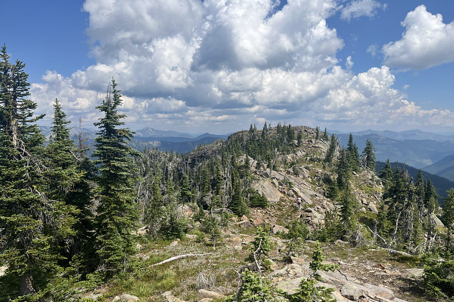 |
Zosia walks the final easy stretch before the summit of The Crags. |
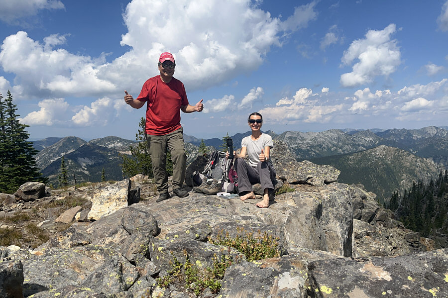 |
Sonny and Zosia relax on the summit of The Crags (2224 metres). |
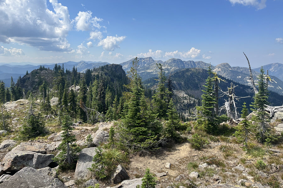 |
Here is a look back toward Baldy Rocks (right) from The Crags. |
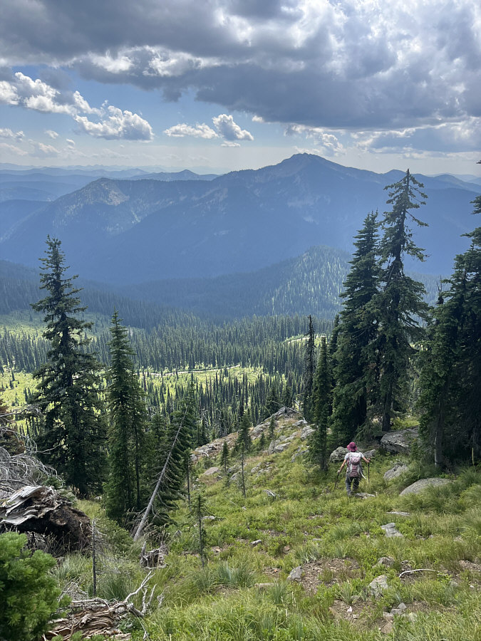 |
Zosia carefully descends the south side of The Crags in hopes of connecting with the road visible below. |
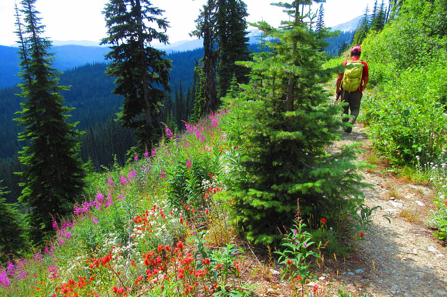 |
Fireweed and Indian paintbrushes adorn the side of the road which Sonny
will follow all the way back to the trailhead at Kootenay Pass. Photo courtesy of Zosia Zgolak |
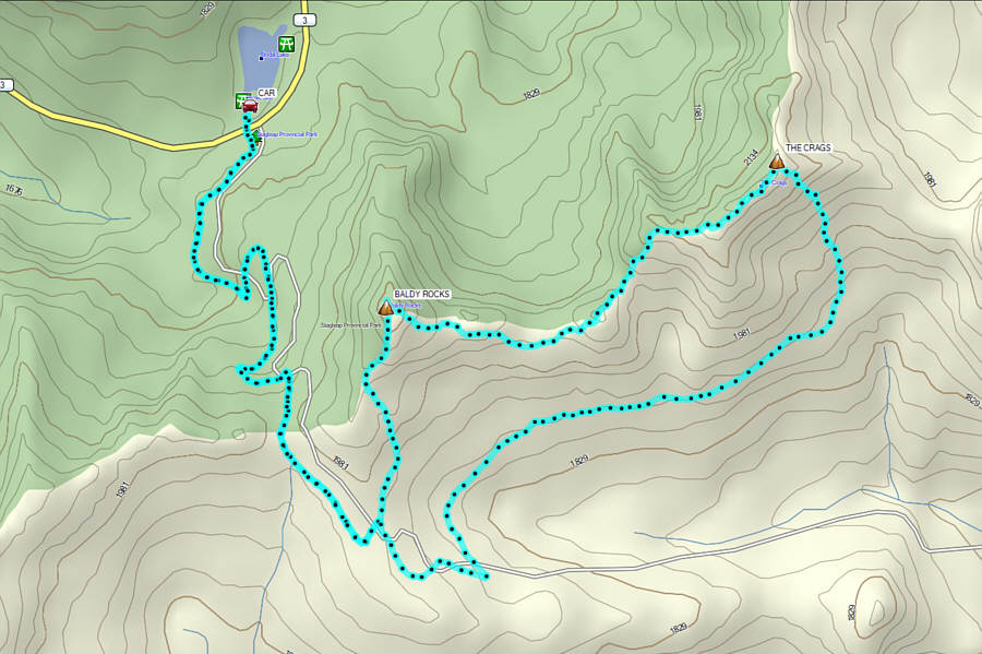 |
Total Distance: 13.5 kilometres Round-Trip Time: 7 hours 30 minutes Cumulative Elevation Gain: 707 metres |