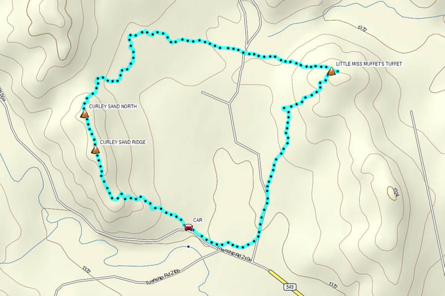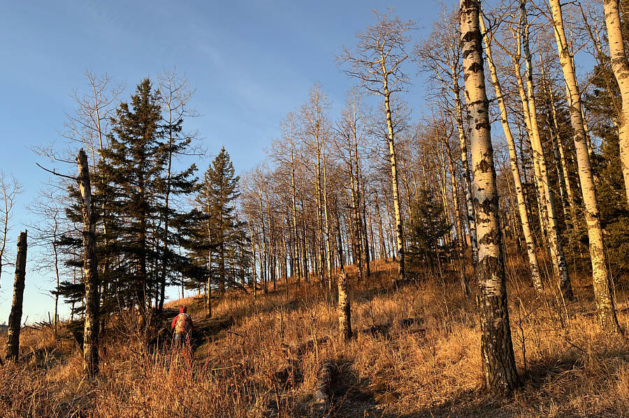
Starting from a pullout (50.75745, -114.54811) on the north side of McLean Creek Trail (road), Zosia and I started up Curley Sand Trail which winds up the south end of a ridge adjacent to the road. Less than half an hour later, we were already on the scenic high point of the ridge. Bob Spirko calls this "Curley Sand Ridge" which is often traversed in conjunction with nearby Mesa Butte to the north. In fact, both Zosia and I had previously traversed this very same ridge in the opposite direction back in 2017, but somehow, neither of us had any recollection of doing so. Such are the hazards of losing track of where one has been in the past which is a rarity for me given that I document, with very few exceptions, virtually every outdoor recreational trip I have done on this website. Perhaps I am simply succumbing to dementia in my old age!
Regardless, Zosia and I still enjoyed the
easy ascent, and as we traversed northward, we actually abandoned the
trail to go over a subsidiary bump that we likely skipped the first time
we hiked here. Completely covered with trees and viewless, the
subsidiary bump probably should always be skipped, but rather than
backtrack to the trail, we continued down the north end of the ridge
aiming for an east-west cut line that appears on most topo maps.
Zosia leaves the official trail to traverse over a subsidiary bump to the
north. Photo courtesy of Zosia Zgolak For our return, Zosia and I dropped down the
southwest slopes of Little Miss Muffet's Tuffet and ultimately stumbled onto
a good trail which we followed southward to its terminus at a well site
road. This trail turned out to be Mesa Back Door Trail which
somehow connects to the north-south road we crossed earlier. In any
case, we continued southward on the well site road and then left it to
shortcut across an open field in sight of McLean Creek Trail. Along
the north side of the road, we picked up an equestrian trail and easily
followed it back to the pullout to complete our adventurous loop.
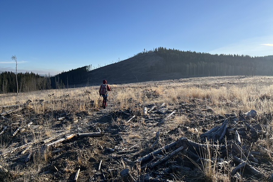
Photo courtesy of Zosia Zgolak
Instead of finding a well-defined cut line, Zosia and I ended
up in a vast cut block to the northeast of Curley Sand Ridge.
Turning right, we aimed for a nameless hill at the far east end of the
cut block, but getting there entailed a lot of tedious walking through
logging slash. There was probably a logging road here in the past,
but it has mostly been reclaimed. A few marshy sections were
thankfully still well-frozen and easy to walk on, and we even stumbled
onto a few cattle trails which helped to alleviate some of the drudgery.
We eventually crossed a well-defined dirt road running north-south but
continued grinding through more logging slash as we climbed up the west
slopes of the nameless hill. Upon reaching the partially open top,
we stopped for a well-deserved break in the warm morning sun. Since
I could not find any references for this nameless hill, I have taken the
liberty to call it "Little Miss Muffet's Tuffet" in keeping with the theme of
nursery rhyme names--Jack and Jill, Humpty (Dumpty), and Hickory (Dickory
Dock)--which have been unofficially attributed to the four successive
hills to the north.
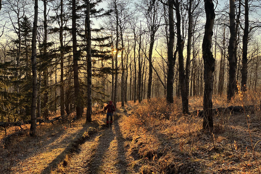
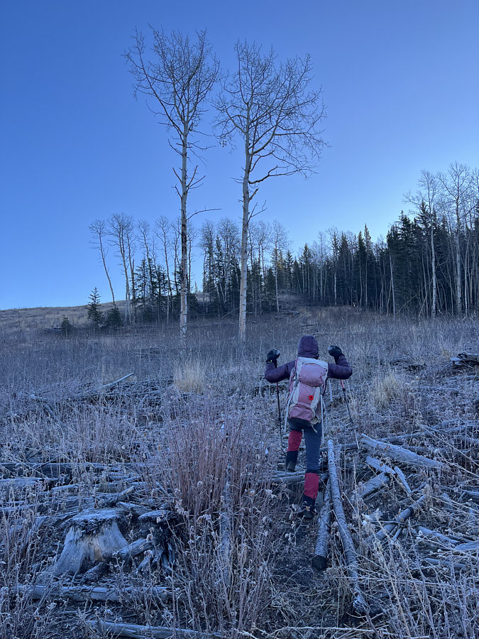
Morning sunlight illuminates the south
end of Curley Sand Ridge.
Zosia follows a good trail up the
south half of the ridge.
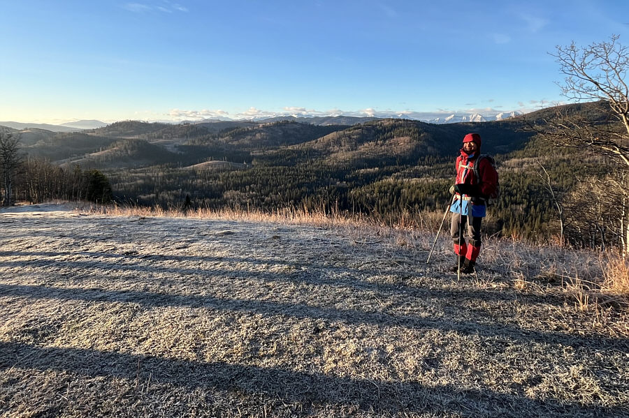
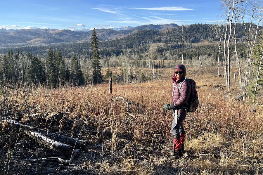
Zosia enjoys some distant views of
snowy mountains from the high point (1525 metres) of Curley Sand
Ridge.
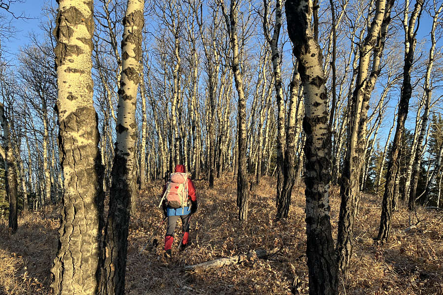
Sonny descends through light bush at
the north end of Curley Sand Ridge.
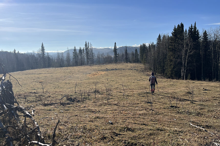
Aiming for the hill ahead, Zosia
follows a reclaimed road in a vast cut block.
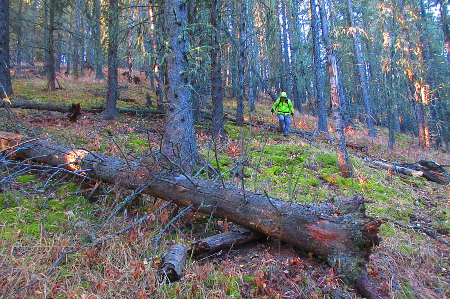
Zosia grinds through more logging
slash on her way up the hill.
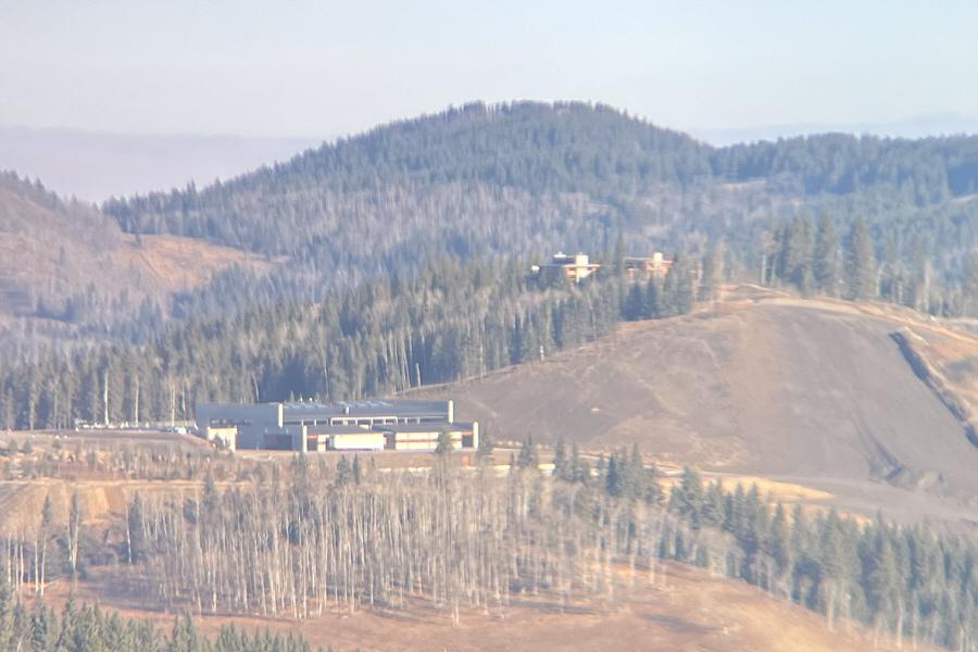
Lying just outside the Kananaskis
Country Public Land Use Zone boundary is what appears to be an
industrial building of some sort.
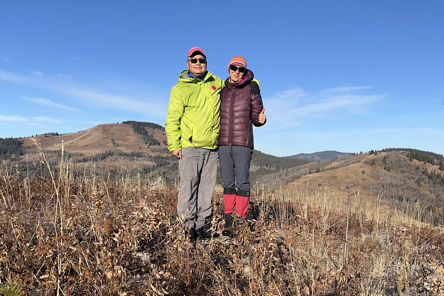
Sonny and Zosia stand near the high
point of what Sonny unofficially dubs as "Little Miss Muffet's
Tuffet"
(1510 metres).
Taking an alternate way down from the
top of Little Miss Muffet's Tuffet, Zosia encounters more logging slash
but will soon find a good trail just ahead.
Curley Sand Ridge is visible at right in the background.
Zosia crosses this inviting grassy
meadow which happens to be the trailhead for an official trail known
as Mesa Back Door.
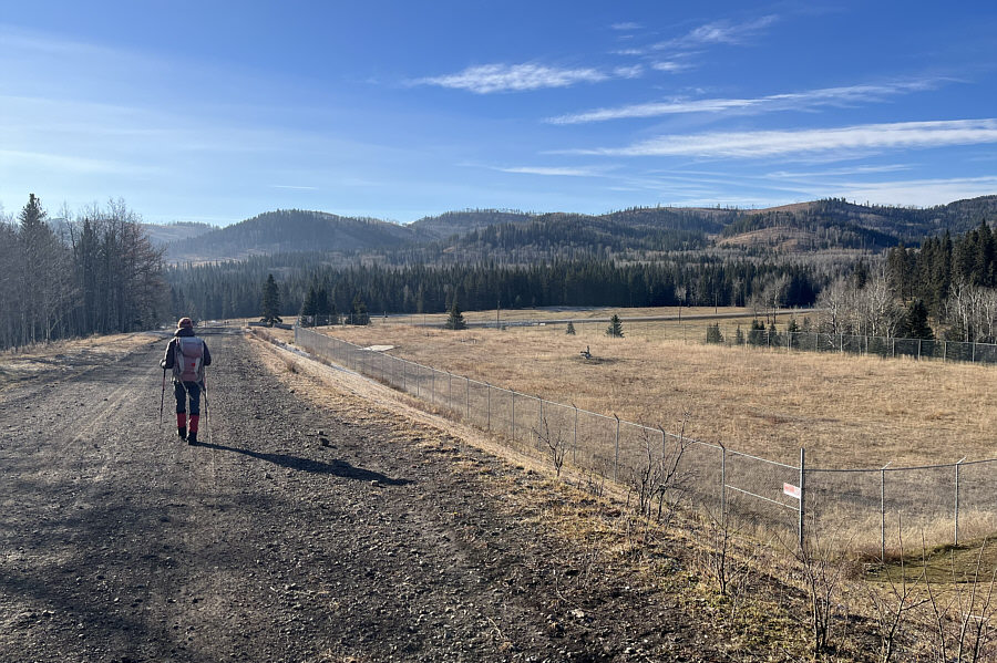
Zosia follows a well site road
back to the main highway.
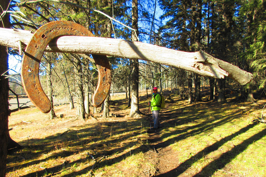
Sonny follows an
equestrian trail back to the starting point.
Total Distance: 6.5 kilometres
Round-Trip Time: 3 hours 16 minutes
Cumulative Elevation Gain: 228 metres