Photo courtesy of Zosia Zgolak
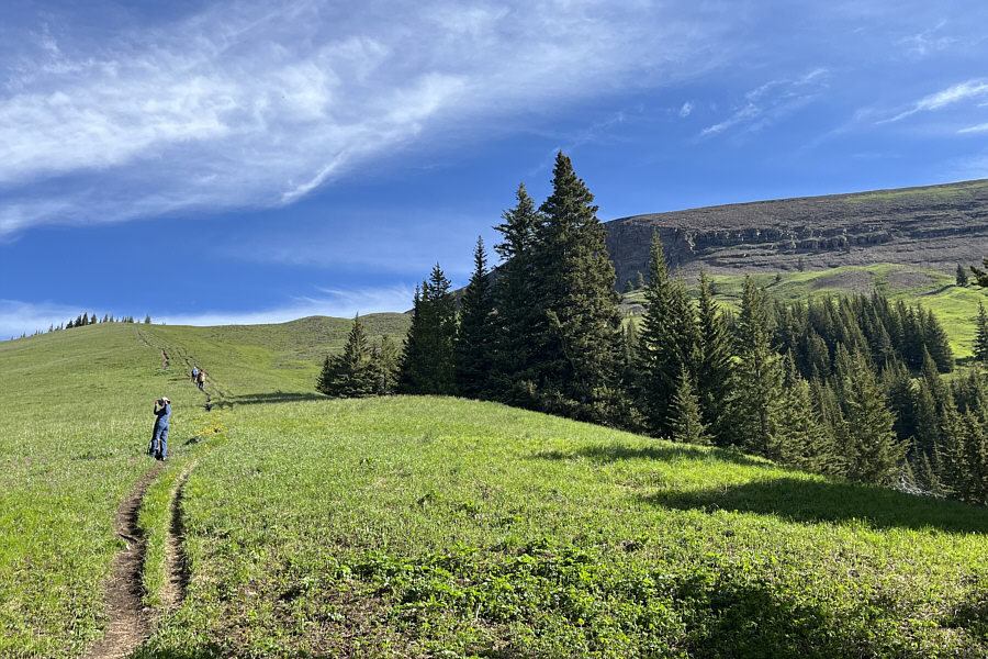
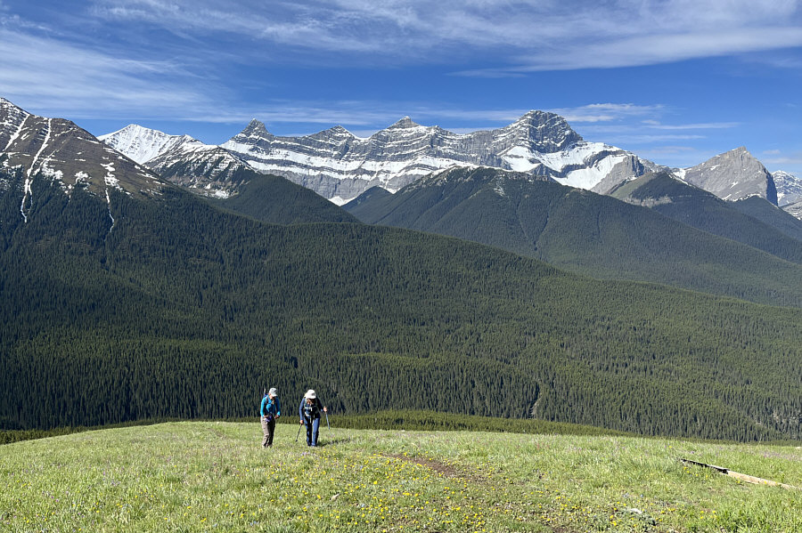
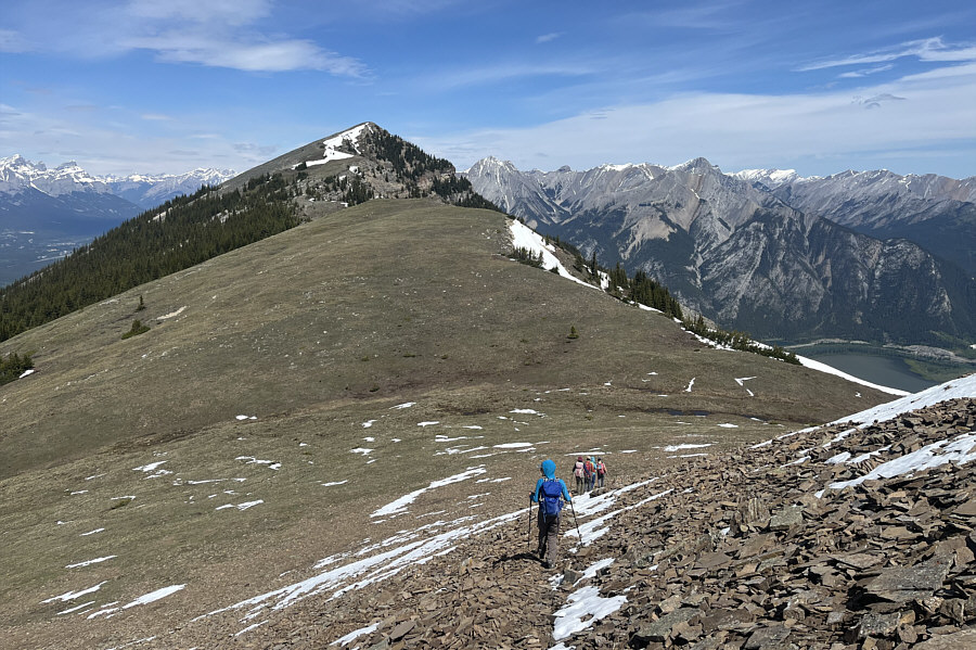
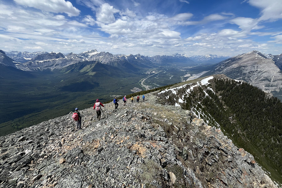
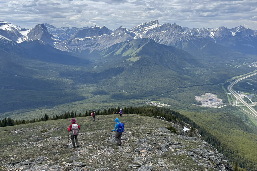
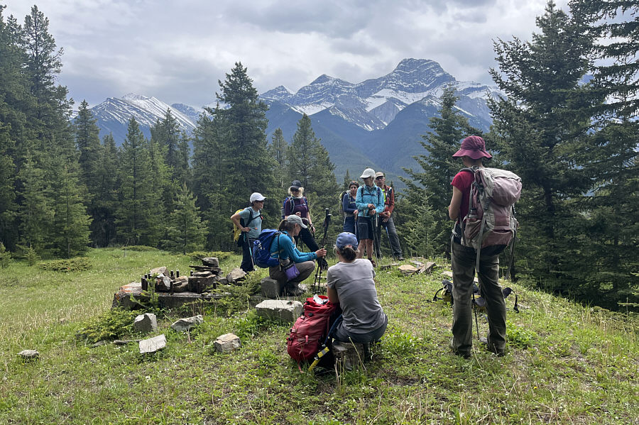
The group emerges from the forest onto open grassy slopes. At right is the south summit of Pigeon Mountain.
|
|
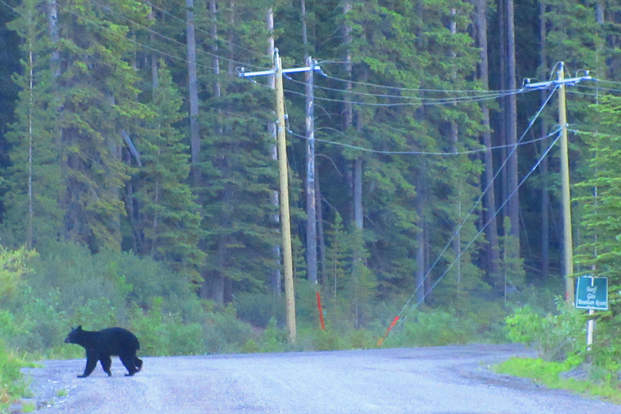
A black bear runs across the road to
the trailhead. Photo courtesy of Zosia Zgolak |
|
|
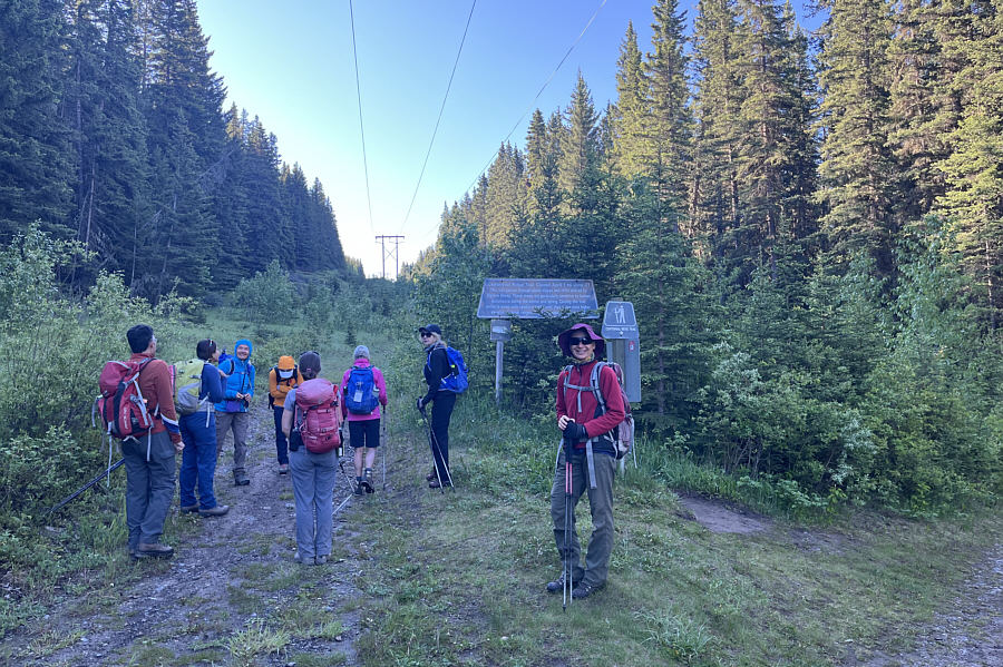
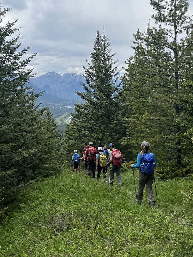
The group turns off onto the trail to Skogan Pass under a power line right-of-way. |
|
|
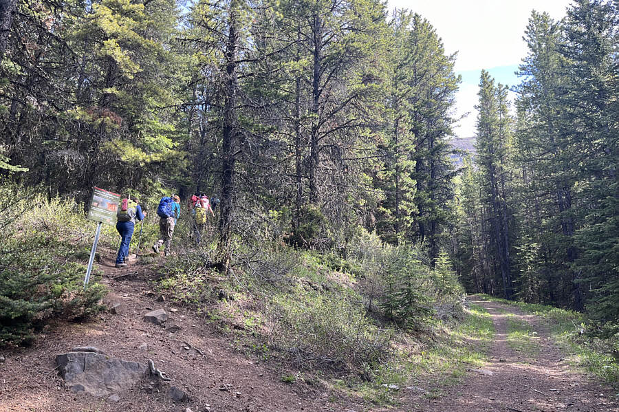
The group turns off onto the trail to Pigeon Mountain. |
|
|
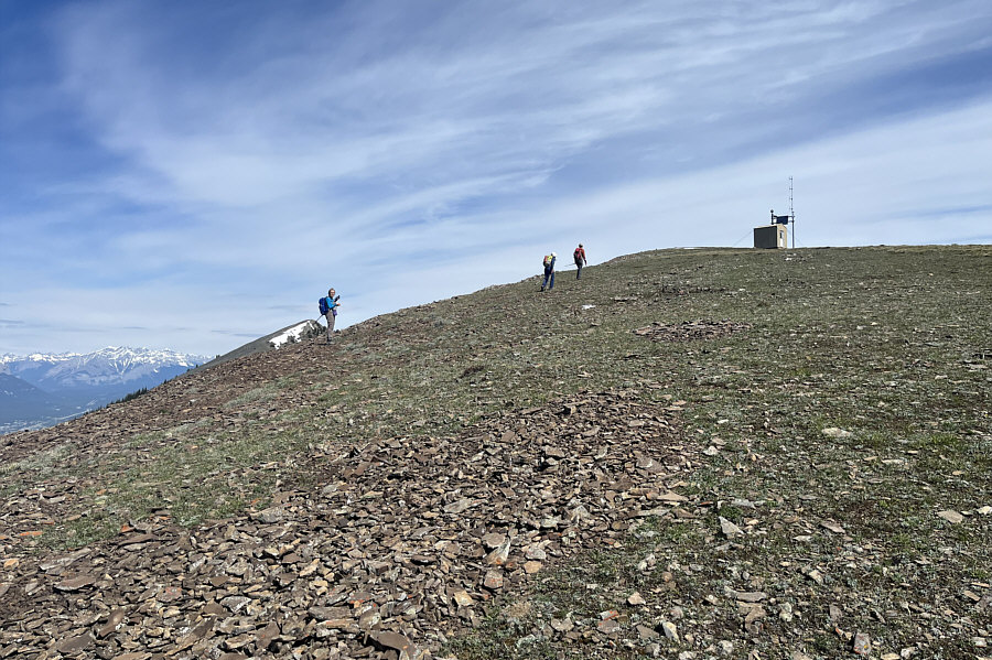
The group emerges from the forest onto open grassy slopes. At right is the south summit of Pigeon Mountain. |
|
|
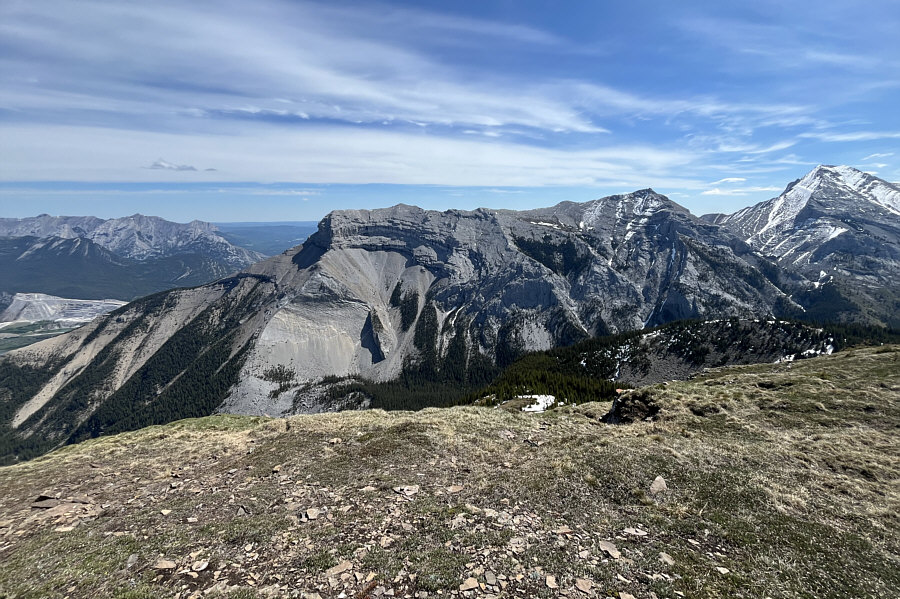
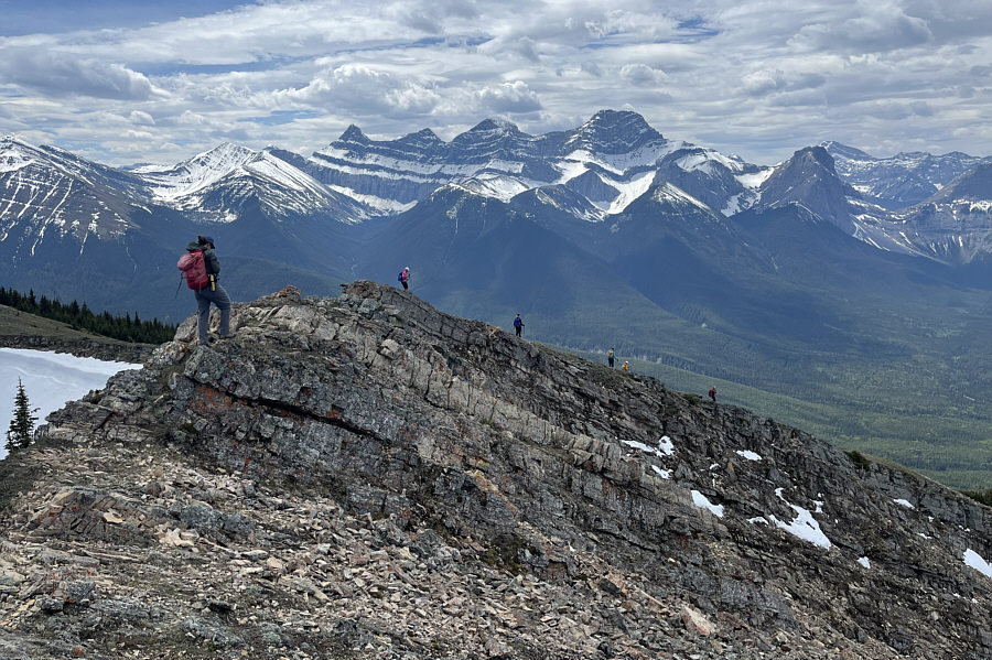
Snowy Mount Allan and the four peaks of Mount Lougheed look brilliant to the southwest. |
|
|
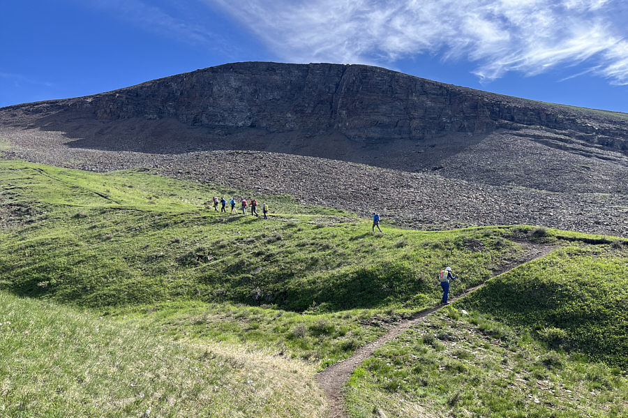
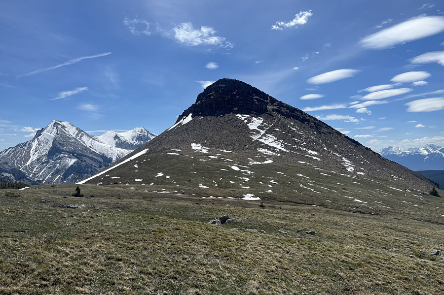
The south summit is partially guarded by a modest cliff band. |
|
|
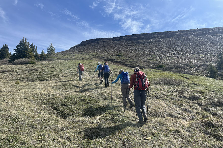
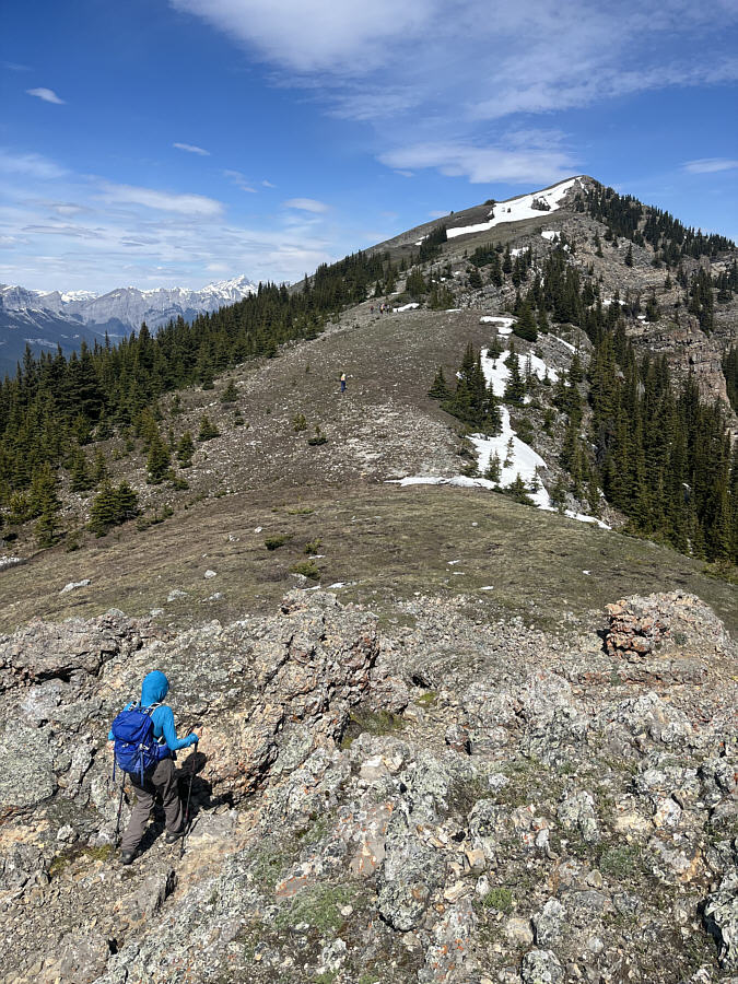
The group abandons the trail here to ascend scree slopes below the south summit. |
|
|
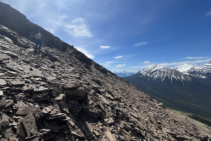
The scree slopes below the south summit are somewhat loose, but the footing is generally not bad. |
|
|
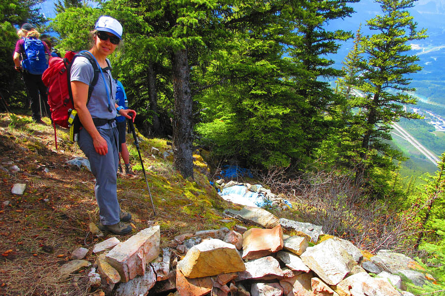
According to Gillean Daffern, the building near the top of the south summit is a telemetry station which is probably used for weather measurements. |
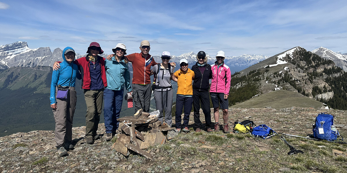
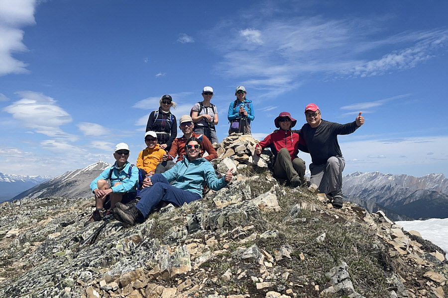
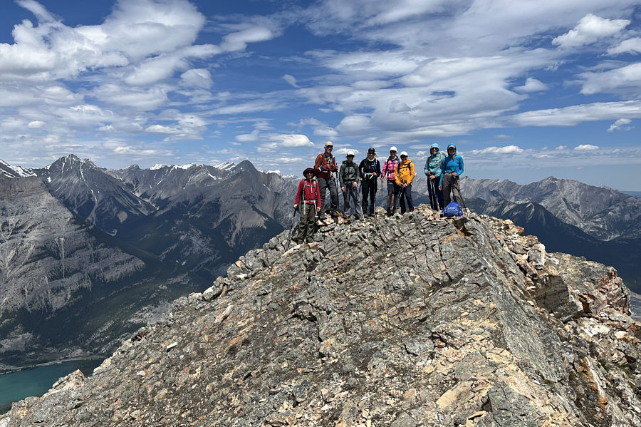
From L to R, Aga, Zosia, Asieh, Ali, Andrea, Karen, Pat and Diane stand on the south summit of Pigeon Mountain (2365 metres).
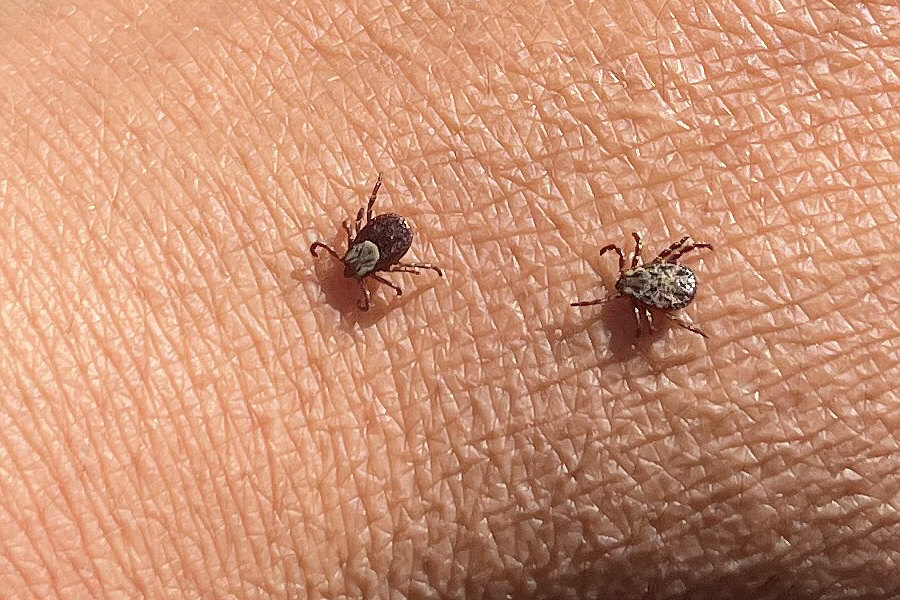 |
A male (right) wood tick chases a female on Sonny's hand. |
 |
To the east is Mount McGillivray. |
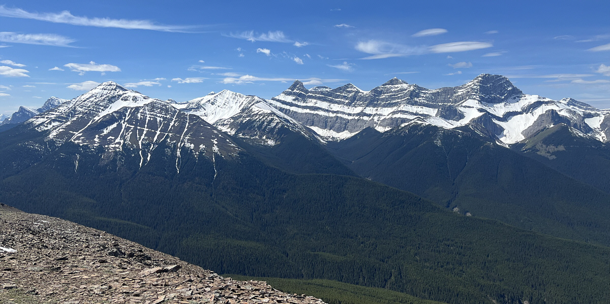
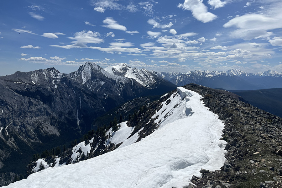
Here is another look at Mount Collembola, Mount Allan, and the four peaks of Mount Lougheed from the south summit.
 |
The group descends the south summit and heads for the north summit. |
 |
Here is a look back at the south summit from the connecting ridge to the north summit. |
 |
Aga weaves through some rock outcrops on her way to the north summit. |
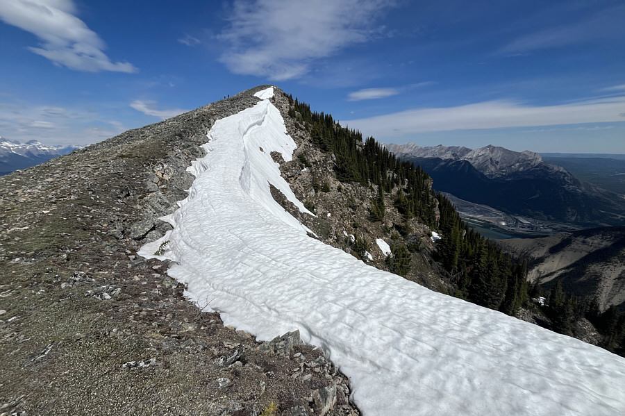 |
A snow cornice persists on the final section of ridge before the north summit. |
 |
The group reaches the north (true) summit of Pigeon Mountain (2418 metres). |
 |
Here is a look back to the southeast from the north summit. Mount McGillivray is the last peak on the left while the snowy mountain in sunshine just left of centre is Skogan Peak. |
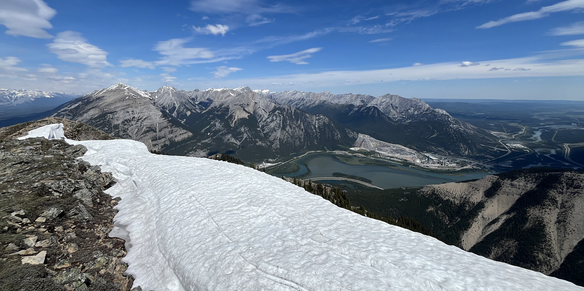
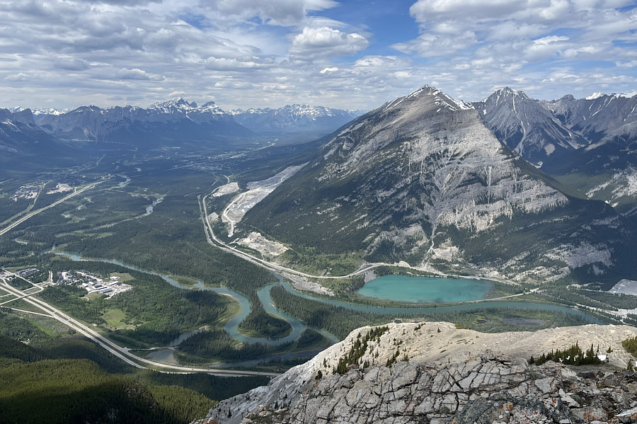
The Fairholme Range and Lac des Arcs dominate the view to the north.
 |
The group continues northward along the ridge toward an outlier at right. The town of Canmore can be seen in the distant valley. |
 |
The group congregates on Pigeon Mountain's northern outlier (2330 metres). |
 |
The outlier grants this view of Gap Lake at the foot of Grotto Mountain. |
 |
Leaving the outlier, the group begins to descend in earnest to the west. |
 |
The group takes advantage of open slopes to quickly descend to tree line in hopes of ending up at Banff Gate Mountain Resort which is visible far below and right of centre. |
 |
Andrea is a bit perplexed about why
someone would build a makeshift camp this far up the north end of
Pigeon Mountain. Photo courtesy of Zosia Zgolak |
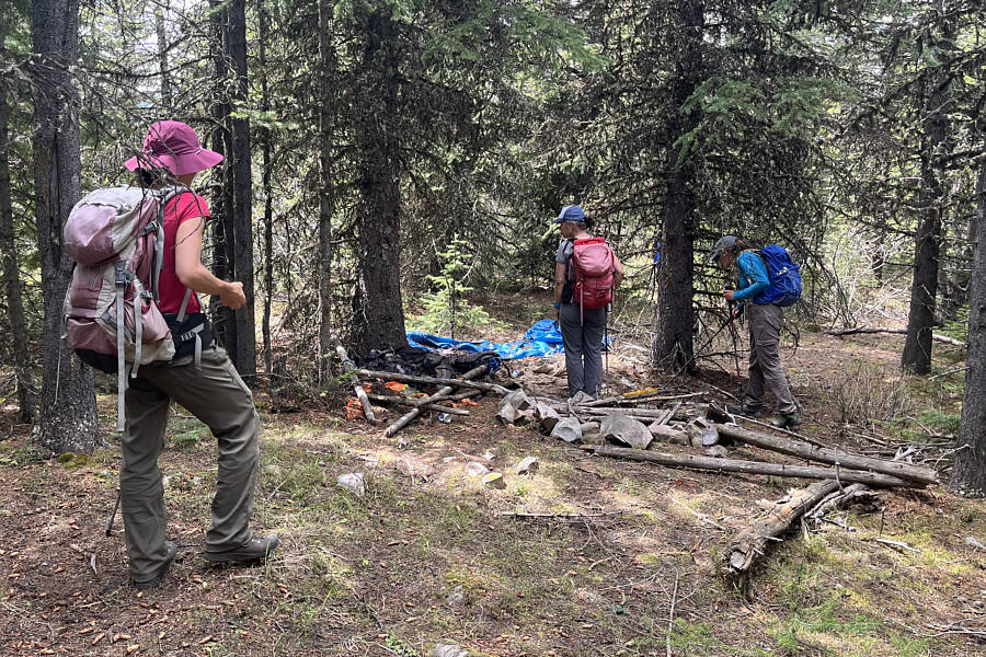 |
Zosia, Andrea and Aga examine a second campsite in the forest. |
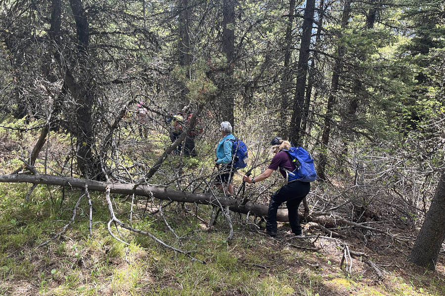 |
Aside from the odd large piece of deadfall, the bushwhack on descent is generally light and easy. |
 |
The group reaches the remnants of a lift station at the top of the now-defunct Pigeon Mountain ski hill (1653 metres). |
 |
The former ski hill's lift line is probably the most direct and efficient route to descend to the bottom. |
 |
Sonny arrives at Banff Gate Mountain
Resort and looks for a way to reach the trailhead parking lot. Photo courtesy of Zosia Zgolak |
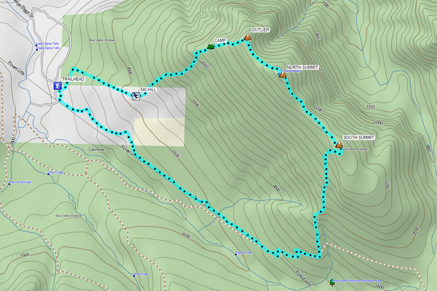 |
Total Distance: 12.7 kilometres Round-Trip Time: 7 hours 34 minutes Cumulative Elevation Gain: 1021 metres |