BOU AVENUE
Racehorse Creek Hill

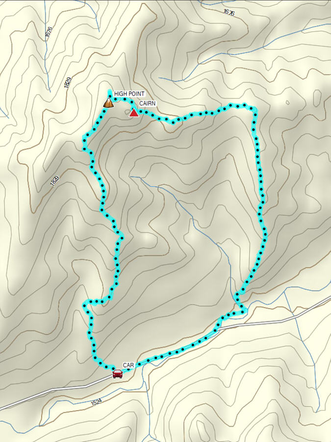
On 9 November 2024, Zosia Zgolak and I traversed unofficially-named Racehorse Creek Hill located in Alberta's Livingstone Public Land Use Zone.  The name was coined by Matthew Clay, but we got our inspiration for this hike from Bob Spirko's 2020 trip report.  We would also pretty much follow in Spirko's footsteps by climbing up the hill's south ridge and then descending via the east ridge to complete a loop.

Starting from a pullout (49.80468, -114.45375) on the south side of Highway 940, Zosia and I crossed the road and began climbing up a scrubby slope to quickly gain the crest of the south ridge.  We actually picked up a good trail here and followed it briefly until it began to descend and veer away from the ridge crest.  We then made a quick course correction to regain the ridge crest and were soon out of the trees and ascending open grassy slopes.  Near the top, we re-entered light forest and ultimately hiked over the disappointingly viewless western (true) high point.  Fortunately, the subsidiary high point to the east with a large cairn is a much more scenic perch, and we hunkered down there for a pleasant break out of the wind.

When we resumed hiking, Zosia and I dropped down an obvious break in the cliffs guarding the east side of the subsidiary high point.  We then hiked over a couple of minor bumps along the east ridge before crossing a forested dip to gain a southward-trending rib.  Descending this rib was mostly straightforward until we neared the end where it seemingly plunges straight down to Vicary Creek.  Abandoning the rib to skier's right, we dropped down a steep embankment into a drainage and followed it out for a short distance before muddling through some cattle-churned marshy slopes to reach Highway 940 just west of a bridge over Vicary Creek.  An easy 650-metre walk along the road brought us back to our car and concluded our hike.
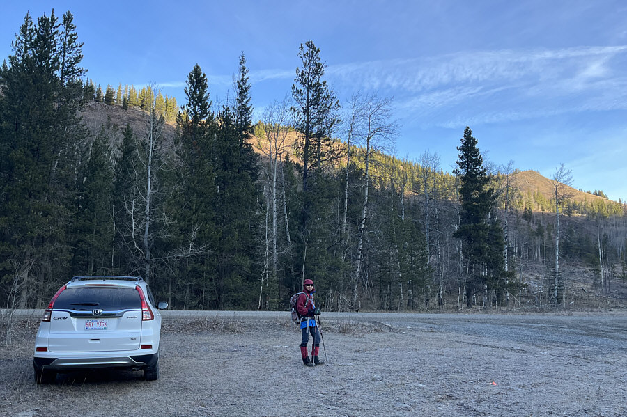
Nice way to warm up quickly! From this starting point, Zosia will climb up to the crest of the ridge in the background.
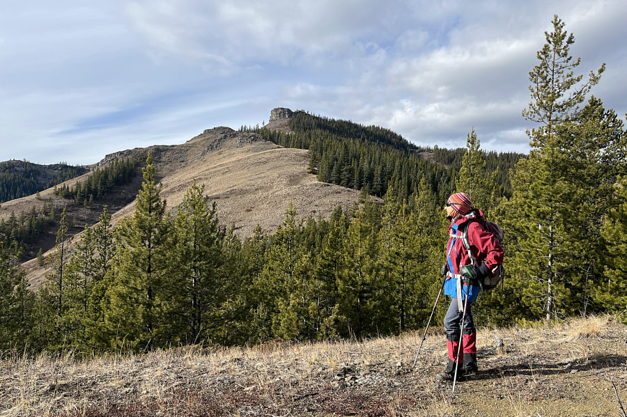
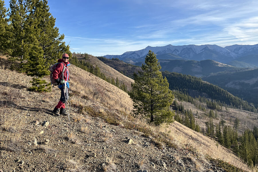
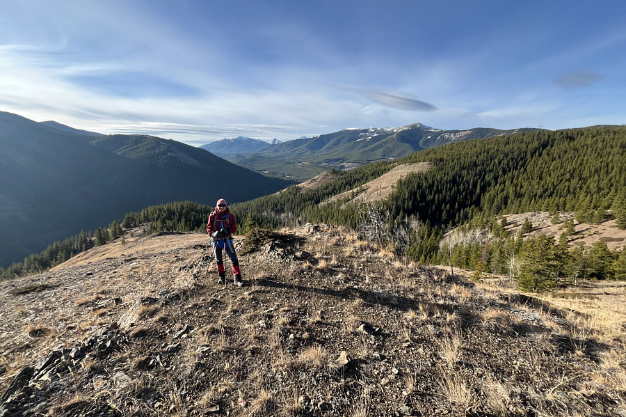
Already some nice views only 30 minutes into the hike! Zosia gains the crest of Racehorse Creek Hill's south ridge.  She will later descend the partially forested rib in the background for the return trip.
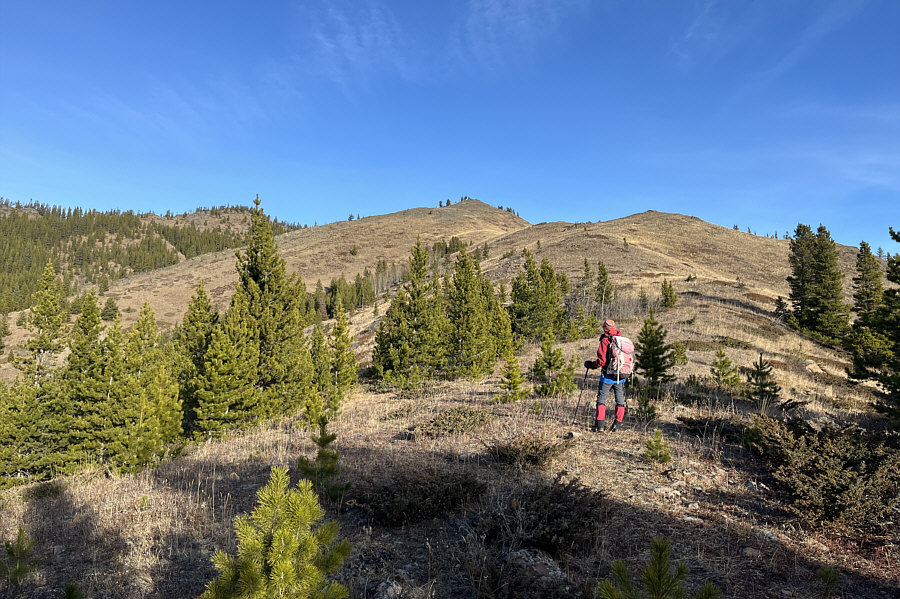
Potentially good for ski touring here...if there is enough snow! The trees begin to thin out as Zosia climbs higher up the ridge.
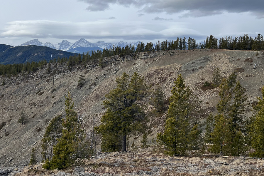
If you look closer, you can even see the very top of Crowsnest Mountain!

McGillivray Ridge and Ma Butte can be seen on the horizon behind Zosia.
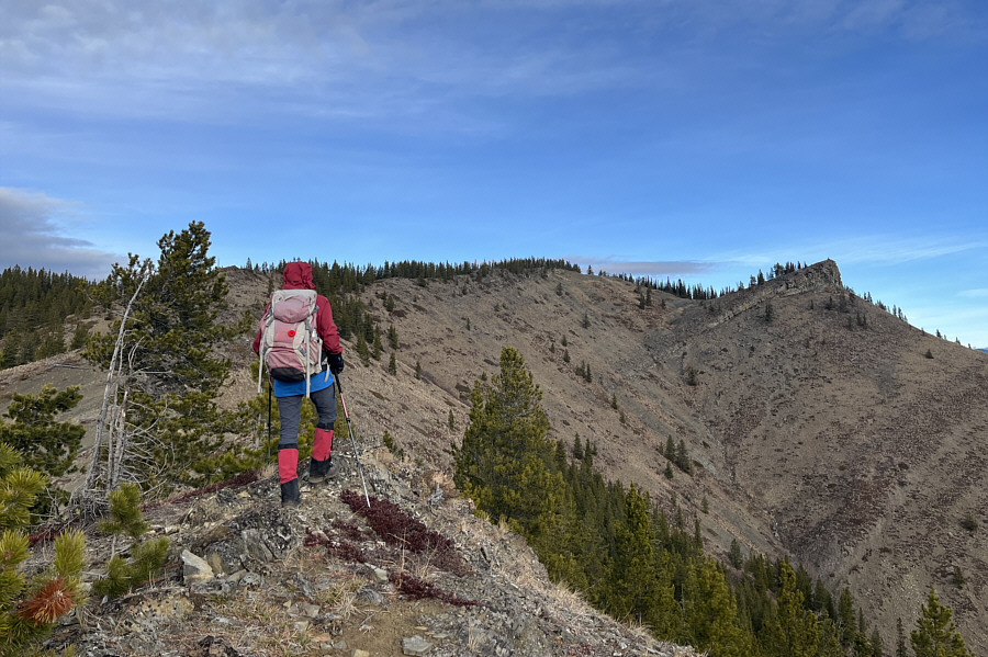
Guess which one is higher! There are two separate high points at the top of Racehorse Creek Hill.
Pretty much the last steepish section of the ascent. Zosia easily circumvents a rock outcrop on the ridge.

Still not sure which is the true high point!

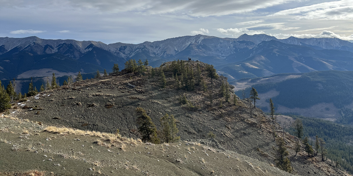
As viewed from the western high point of Racehorse Creek Hill, Zosia stands beside a large cairn on the eastern high point.
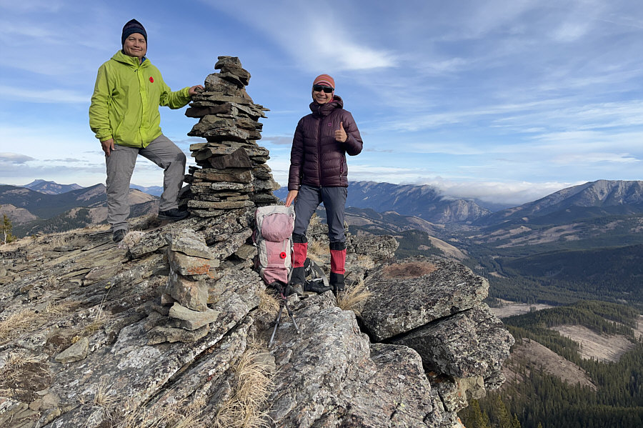
 

The spiritual summit of Racehorse Creek Hill! Sonny joins Zosia on the lower eastern high point (1926 metres) of Racehorse Creek Hill.
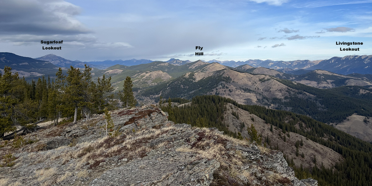
Ironically, unofficially-named Racehorse Peak is at far left on the horizon. Peaks of the High Rock Range can be seen beyond the western (true) high point (1937 metres) of Racehorse Creek Hill at right.

Lots more unnamed hills to hike in this area!

Here is the view to the north from the eastern high point.
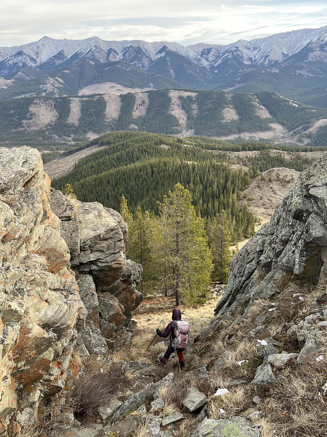
 

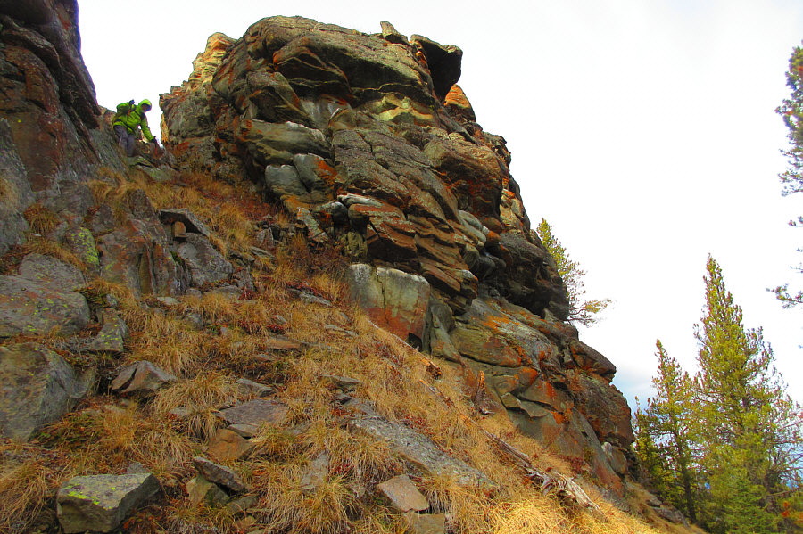
Watch out for a few loose rocks here! Zosia drops down a break in the cliffs guarding the eastern high point.
Very steep...take your time descending here! Here is a look back up at Sonny descending the break in the cliffs.

Photo courtesy of Zosia Zgolak

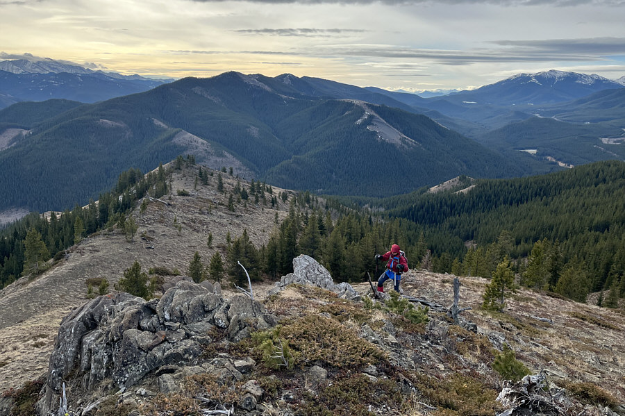
I always like going South; somehow it feels like going downhill! Zosia turns southward after descending the east ridge of Racehorse Creek Hill.

Your nipple is showing!

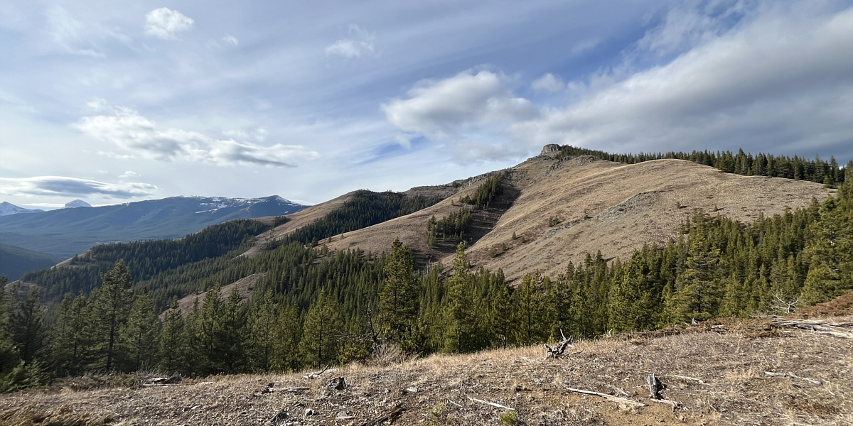
Here is a more comprehensive view of Racehorse Creek Hill's south and east ridges.
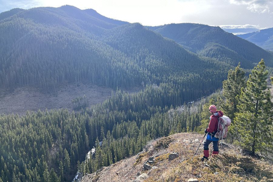
 

Some light bushwhacking and marshy sections still to come! Zosia looks down at Vicary Creek from near the end of the descent rib.
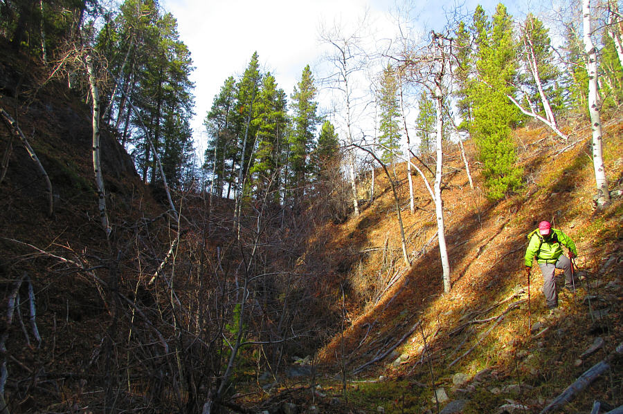
Not outta the woods just yet... Sonny drops down a steep embankment into a drainage emanating from the southeast side of Racehorse Creek Hill.

Photo courtesy of Zosia Zgolak

A nice half-day outing but hardly worth the long drive from Calgary as a day trip. Total Distance:  6.1 kilometres
Round-Trip Time:  4 hours 8 minutes
Cumulative Elevation Gain:  390 metres

GPX Data