|
|
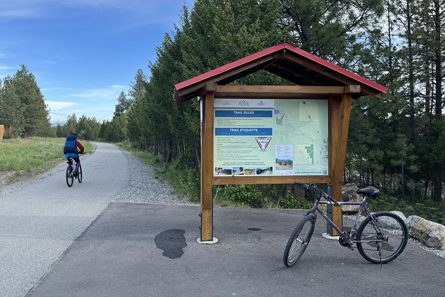
Zosia begins riding from the trailhead near Cranbrook. |
|
|
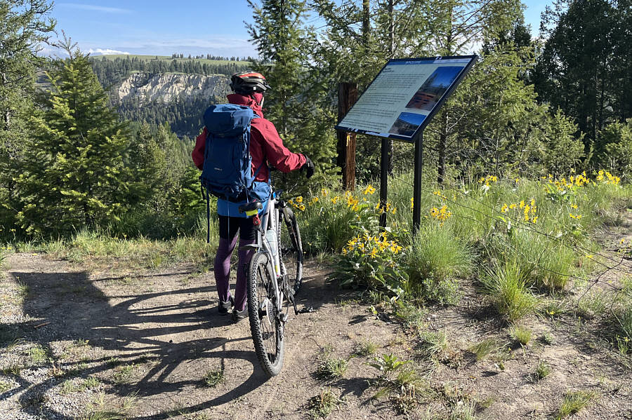
An interpretive sign along the trail provides a bit of a diversion from the somewhat monotonous cycling. |
|
|
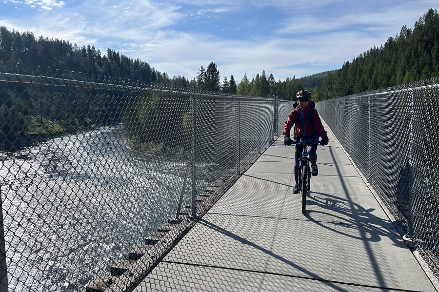
Zosia crosses a converted trestle bridge spanning St. Mary River. |
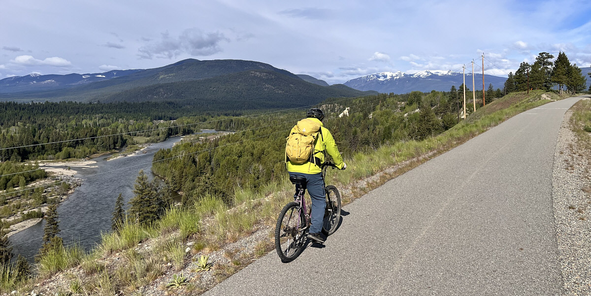
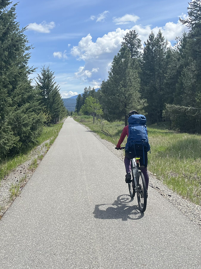
This stretch of the trail around the halfway point grants some far-reaching views to the west.
Photo courtesy of Zosia Zgolak
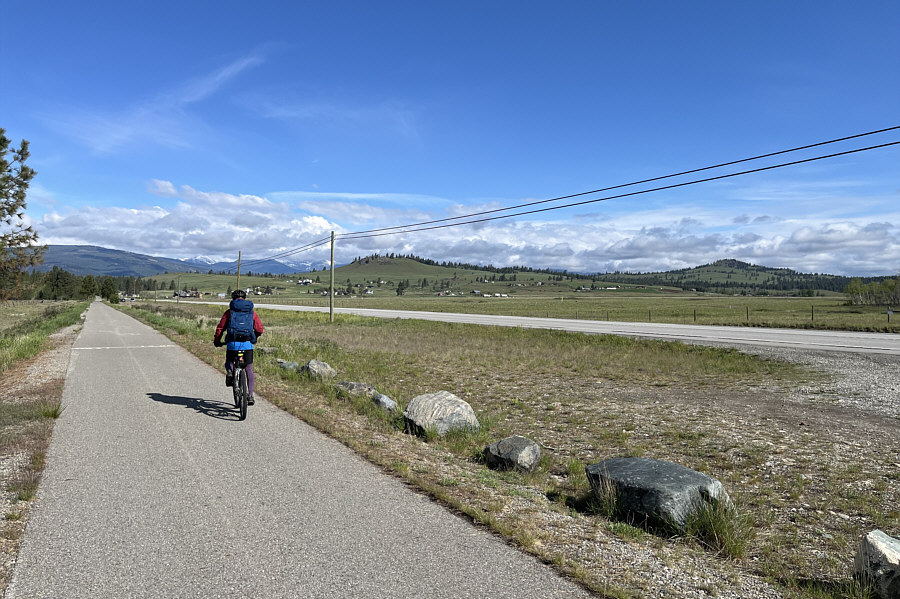 |
Wycliffe Buttes (left of centre) and Lone Pine Hill (far right) are visible across the highway. |
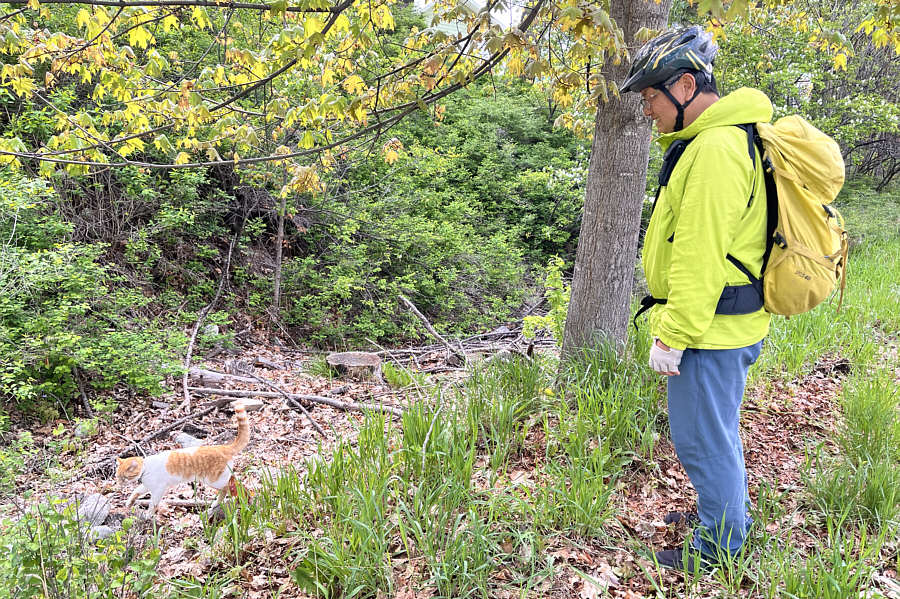 |
Sonny is mesmerized by some wildlife roaming next to the trail. Photo courtesy of Zosia Zgolak |
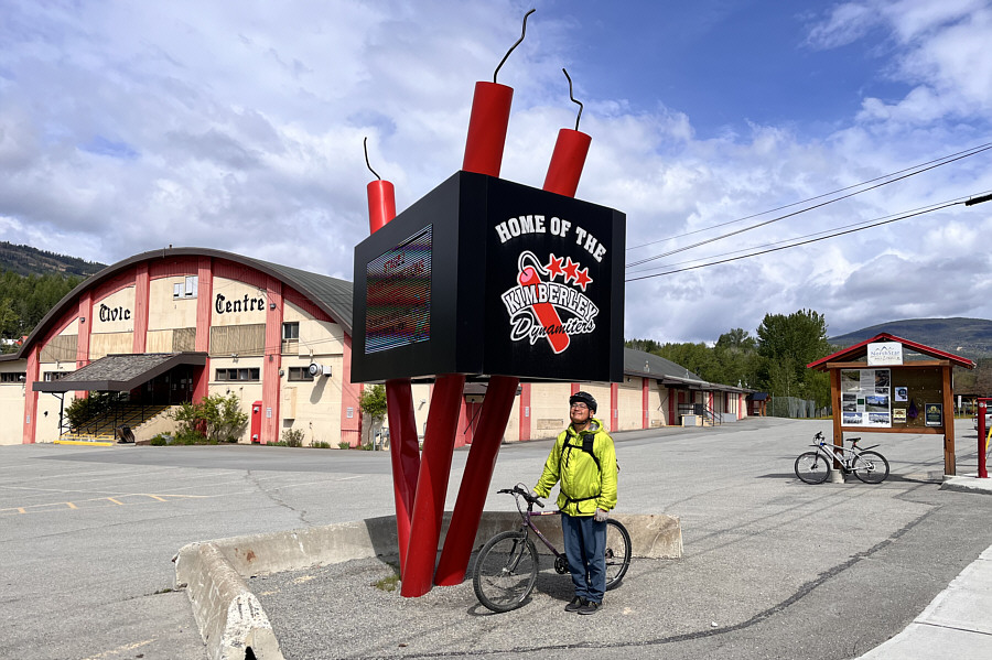 |
Sonny arrives at the trailhead in
Kimberley, and "boom goes the dynamite". Photo courtesy of Zosia Zgolak |
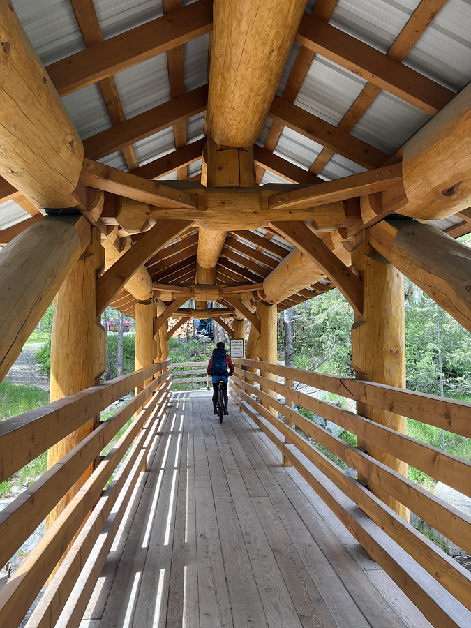 |
Zosia rides across a covered bridge spanning Mark Creek and leading to Marysville Falls. |
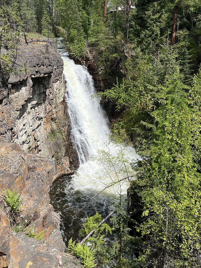 |
Marysville Falls spills over a high cliff. |
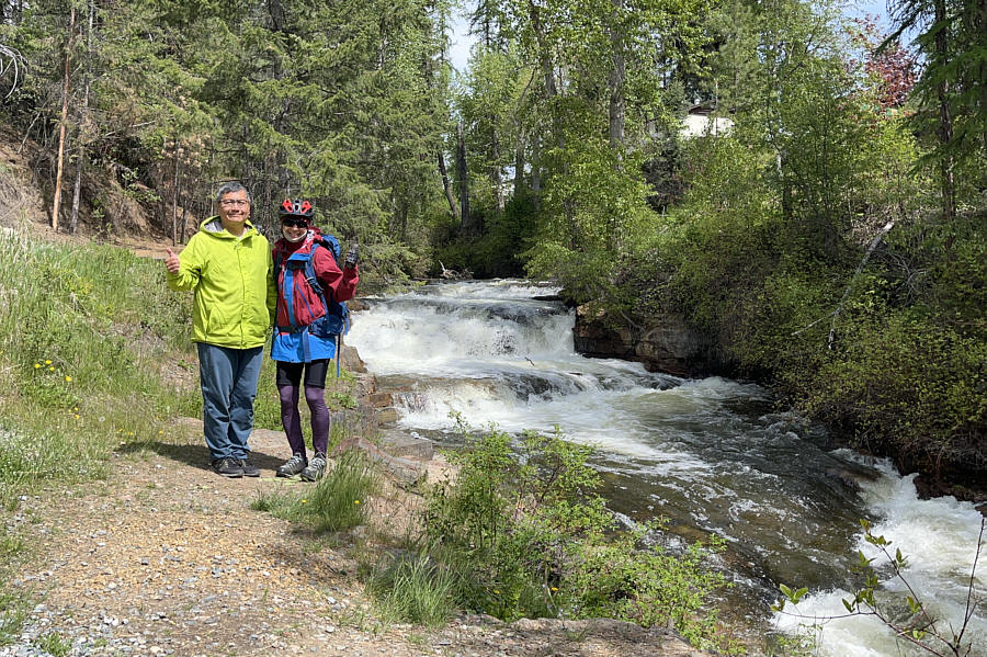 |
Sonny and Zosia pose beside Mark Creek upstream of Marysville Falls. |
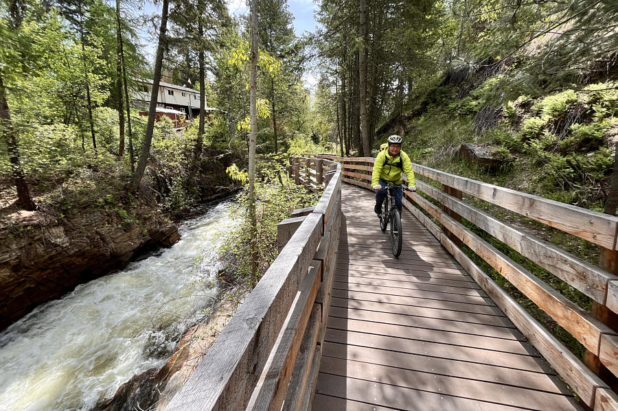 |
Sonny rides along a boardwalk designed
for access to Marysville Falls. Photo courtesy of Zosia Zgolak |
 |
Zosia cruises along the home stretch back to Cranbrook. |
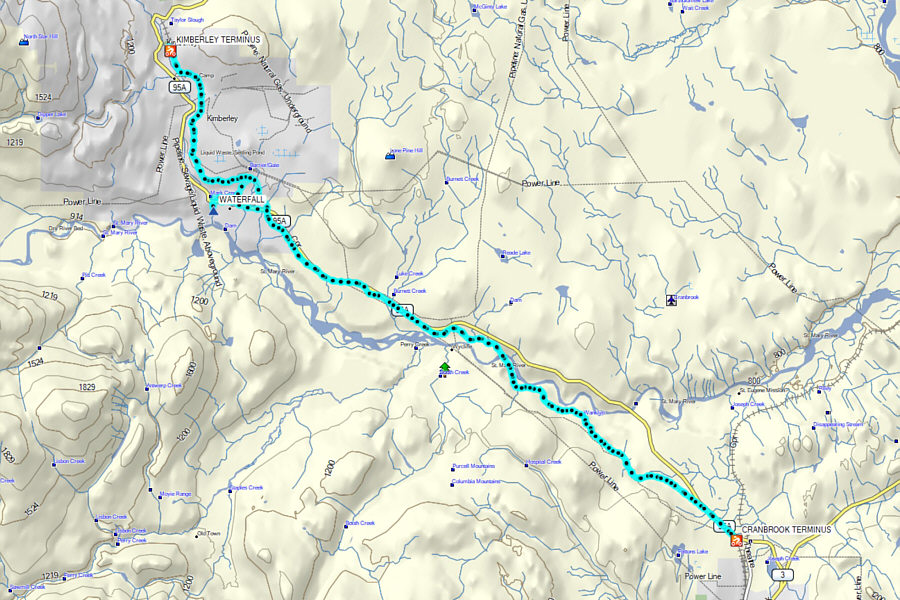 |
Total
Distance: 52.3 kilometres Round-Trip Time: 5 hours 3 minutes Cumulative Elevation Gain: 319 metres |