After taking a photo beside the summit cairn, Zosia and I wandered over to a subsidiary bump to the north which is nearly the same height as the summit. To our pleasant surprise, we spotted a mountain goat at a col just below us. The goat became aware of our presence and began moving out of our view into some trees below the col. As we kept looking though, we were astonished to see even more goats in the vicinity. Some were resting in the shade of some rocks and were not noticed by us initially. As we sat down for a break, all the goats began to slowly depart in the same direction as the first goat. In total, we counted at least 18 goats, probably the biggest herd we have ever encountered in the wild and definitely the highlight of the day for us.
Once the last goat departed and the show was over, I had a brief snooze before Zosia and I got ready to begin our descent. For the most part, we tried our best to retrace our steps, and of course, going downhill while bushwhacking is always a little easier. We got through the mid-mountain toothpick deadfall much more efficiently but had a bit more trouble lower down near the highway. In any case, we eventually emerged onto the highway a bit scratched up but none the worse for wear.
In retrospect, there are probably better ascent routes for Running Rabbit Mountain than the one we took, and I caution those who would follow in our footsteps:
One does not simply walk up Running Rabbit Mountain. Its slopes are guarded by more than just bushes. There is evil there that does not sleep, and the ascent route is ever steep. It is an unforgiving mountain riddled with alders and brambles and toothpick deadfall. The very air you breathe is dry and dusty. Not with sneakers, shorts and a tank top could you do this. It is folly.
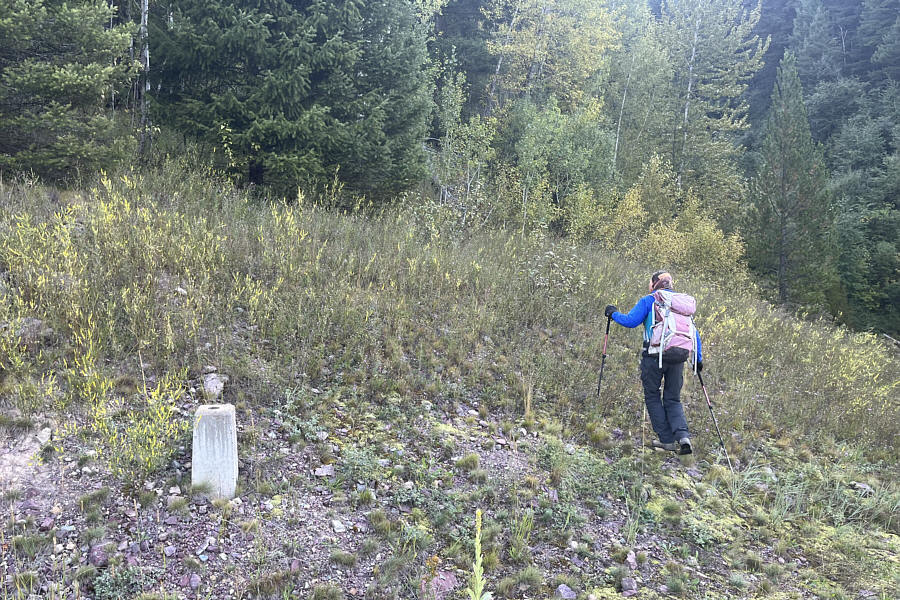 |
Zosia passes a concrete marker at the start of the ascent. |
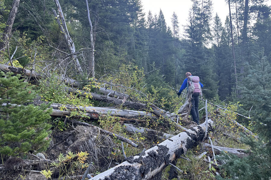 |
Right off the bat, the bushwhacking is already miserable. |
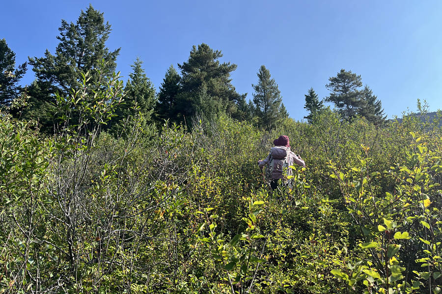 |
In the absence of deadfall, the bushes become the primary annoyance along the route. |
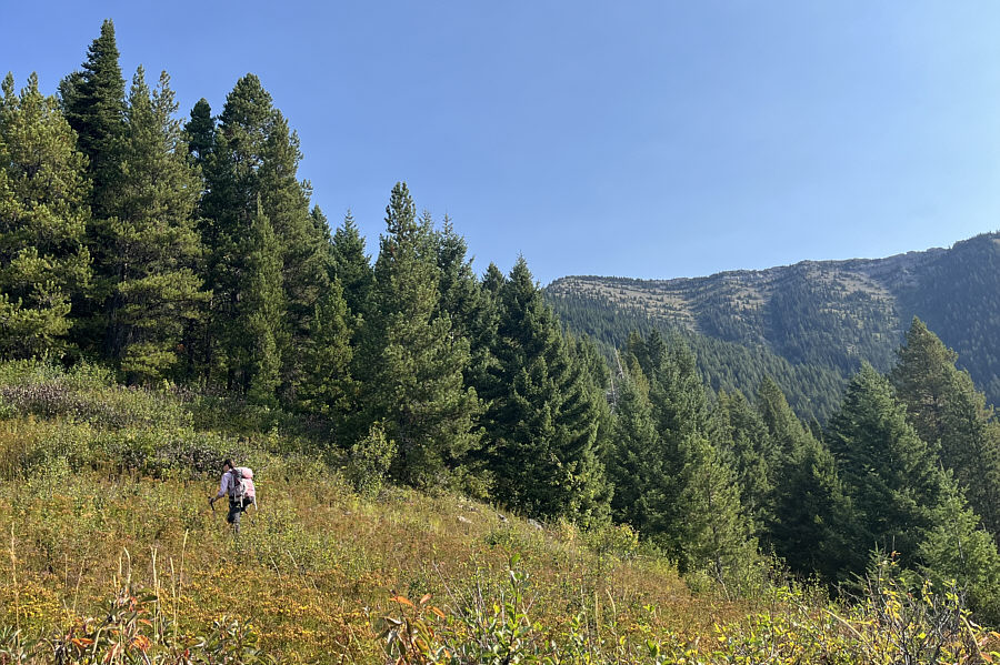 |
A rare section of ridge free from deadfall and bushes allows a glimpse of the mountain top. |
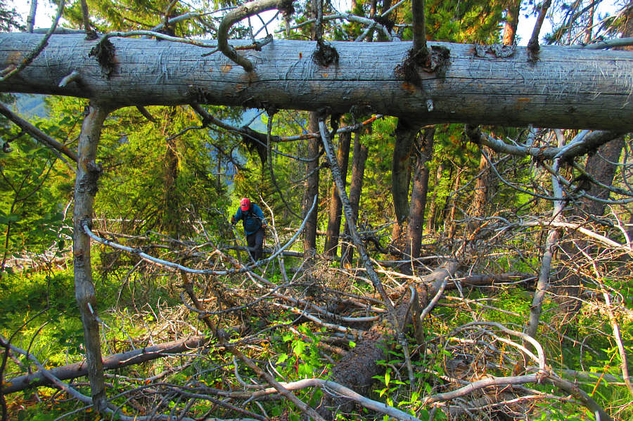 |
Sonny thrashes through another stretch
of annoying deadfall. Photo courtesy of Zosia Zgolak |
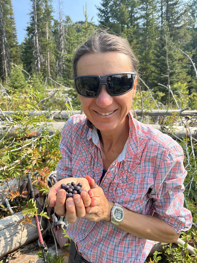 |
In the midst of some heinous bushwhacking, Zosia still finds some delicious huckleberries. |
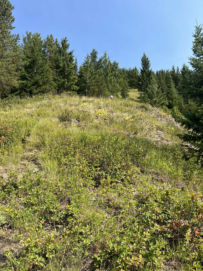 |
The upper sections of the ridge are less bushy but still incredibly steep. |
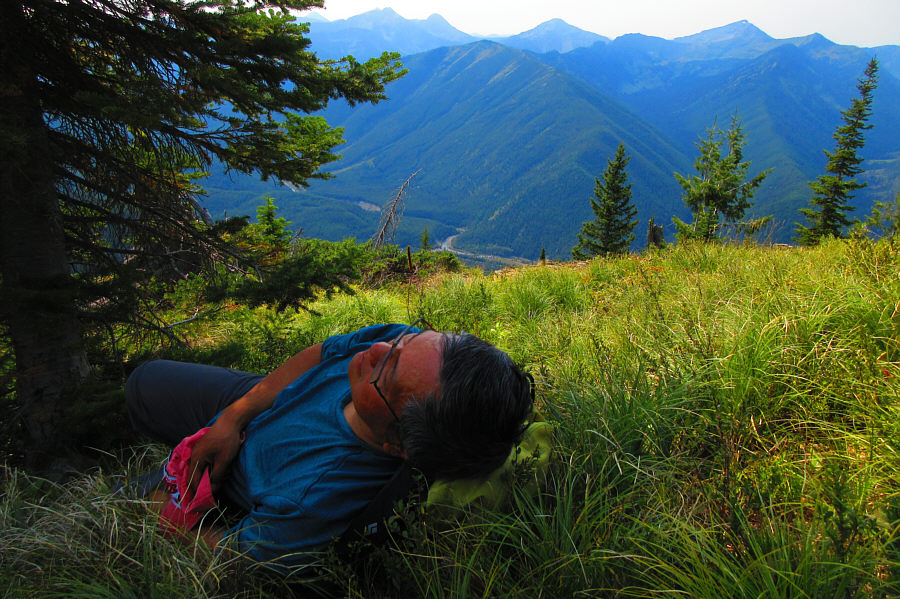 |
Sonny takes a cat nap partway up the
mountain. Photo courtesy of Zosia Zgolak |
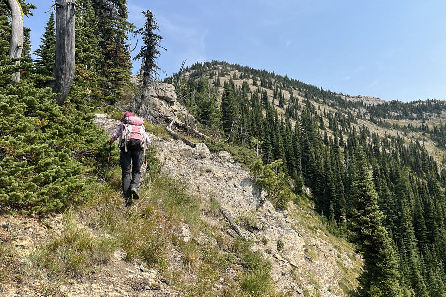 |
A few rocky sections require some minor route-finding to bypass. |
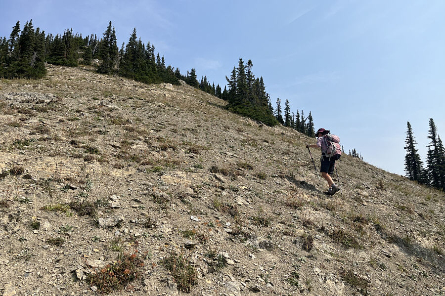 |
The steepness of the ascent is unrelenting even near the top. |
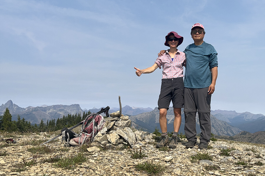 |
Zosia and Sonny stand on the summit of Running Rabbit Mountain (2342 metres). |
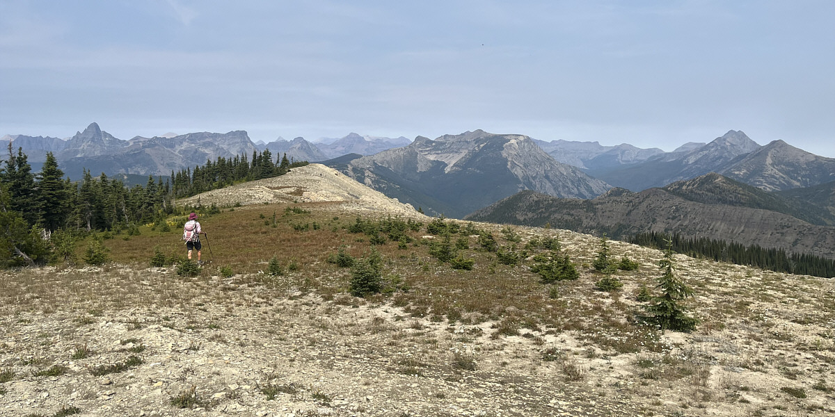
Zosia heads for another distinct bump north of the summit. The striking peak at far left is Mount Saint Nicholas.
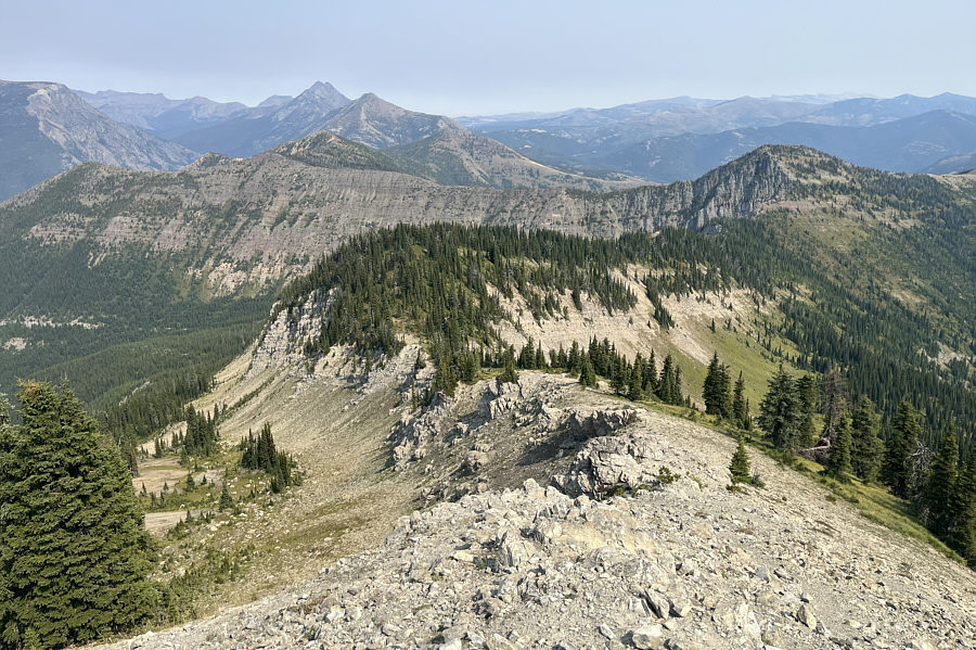 |
This connecting ridge drops down to a high col (centre) before going over a forested hump toward Snowslip Mountain (far right). The double peak on the left horizon is comprised of Summit Mountain and Little Dog Mountain. |
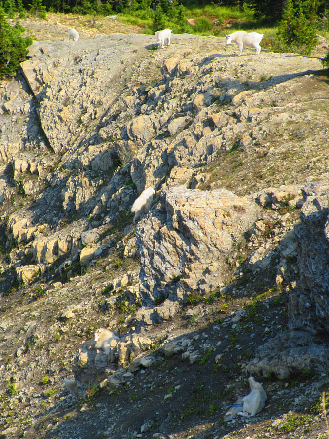 |
A closer look at the high col reveals a huge herd of mountain goats. Photo courtesy of Zosia Zgolak |
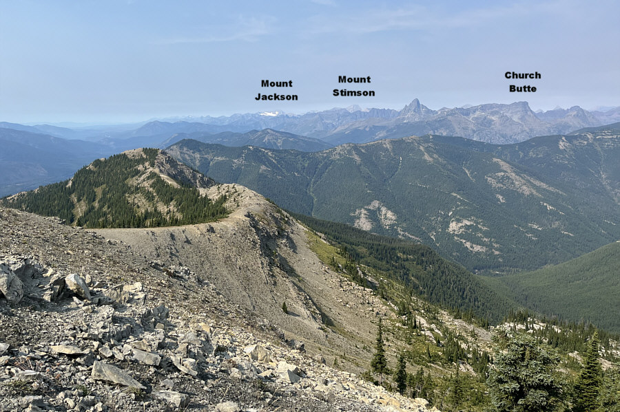 |
Here is the view to the north from the bump. |
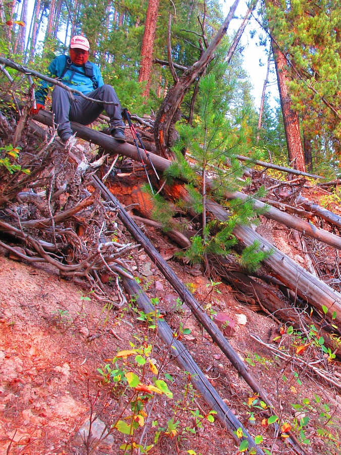 |
Sonny awkwardly slithers over the last
bit of deadfall before the highway. Photo courtesy of Zosia Zgolak |
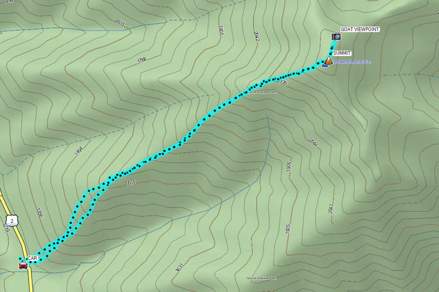 |
Total Distance: 6.4 kilometres Round-Trip Time: 9 hours 34 minutes Cumulative Elevation Gain: 1082 metres |