 |
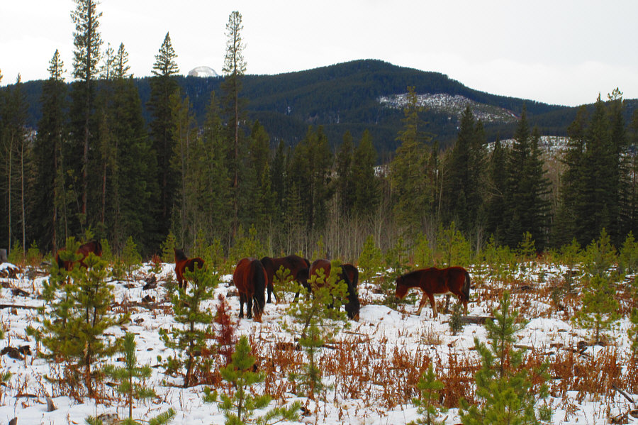
A herd of wild horses graze not far from the start of the hike. Photo courtesy of Zosia Zgolak |
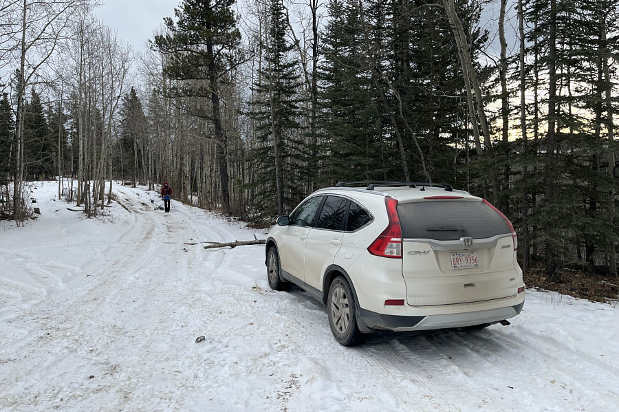 |
Zosia begins hiking along Eau Claire tote road. |
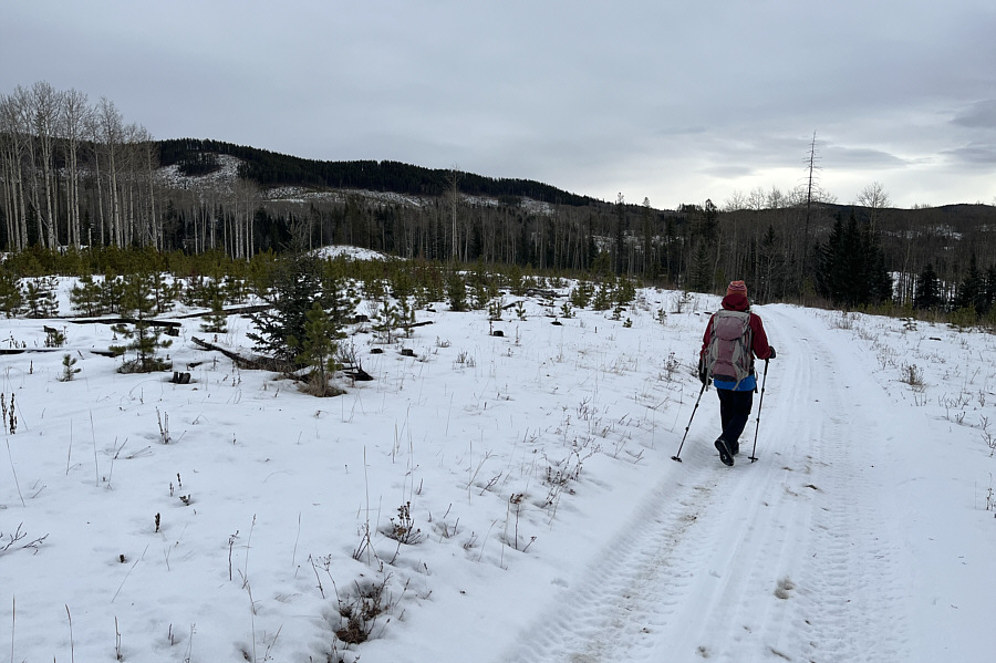 |
Sand Ridge comes into view along this section of the tote road. |
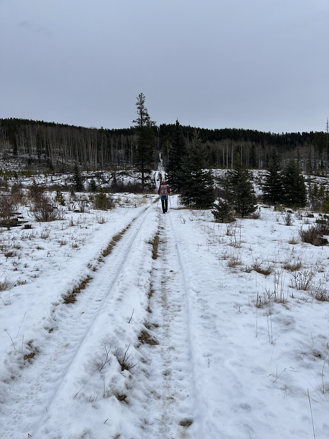 |
Zosia heads toward Sand Ridge along this cut line. |
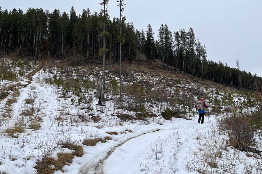 |
Just before reaching the crest of Sand Ridge, Zosia veers away to the south on another double-track. |
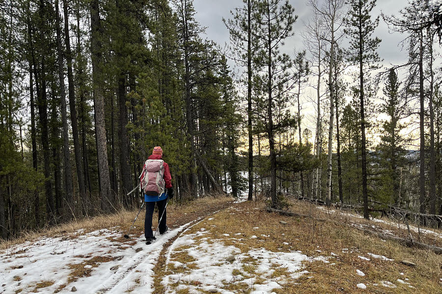 |
Zosia continues to head southward after reaching a four-way junction on the crest of Sand Ridge. |
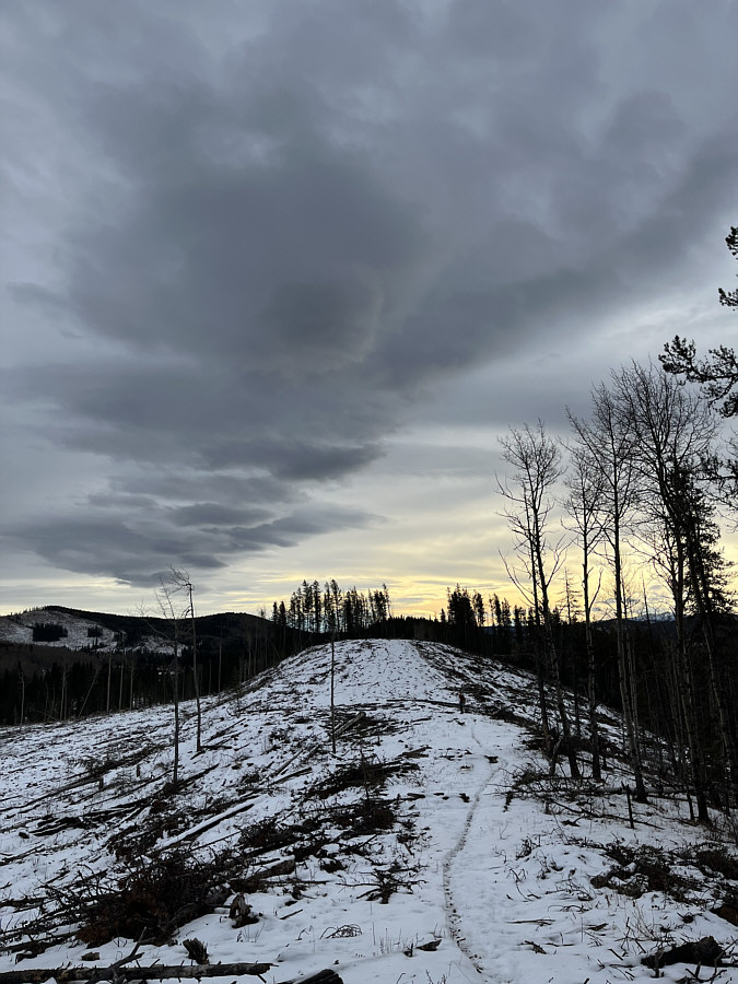 |
The windy but relatively warm weather is reflected by a distinctive Chinook arch in the sky. |
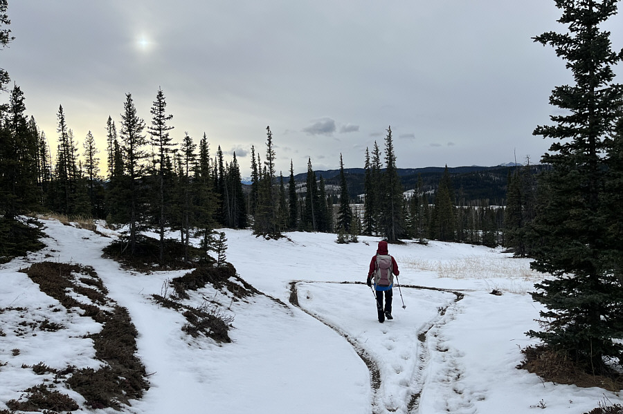 |
Zosia arrives at an open area where Aura Creek Sand Dunes are located. |
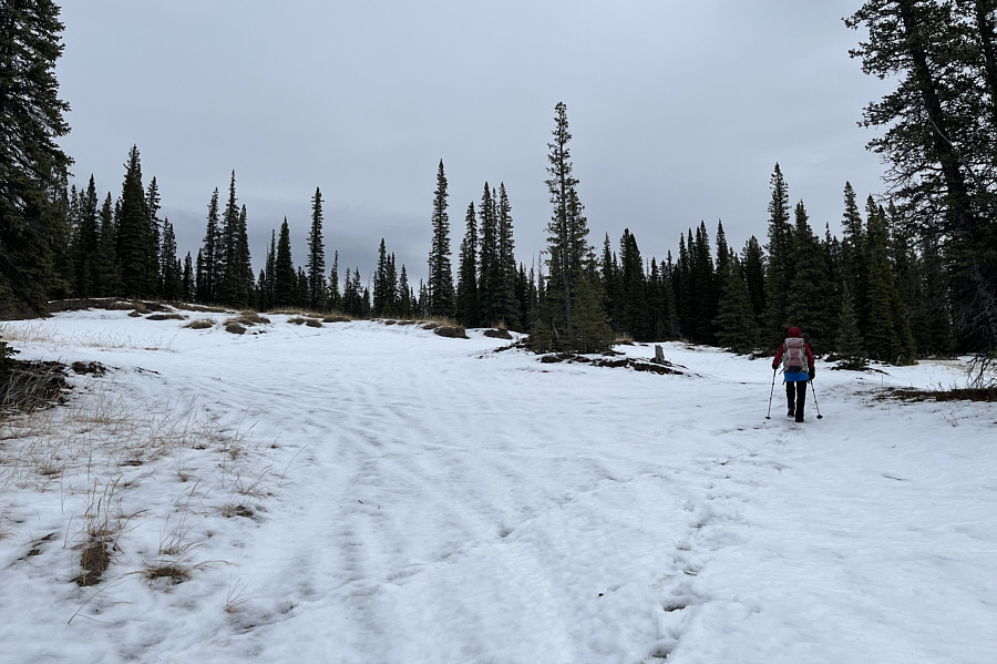 |
The dunes are not that striking under the cover of snow. |
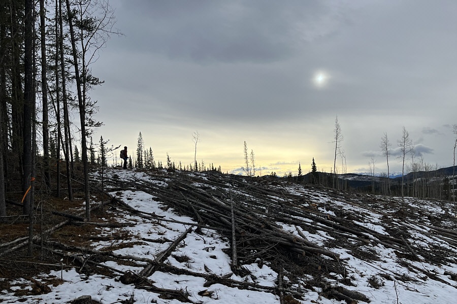 |
Zosia pauses in a clear cut at the south end of Sand Ridge. |
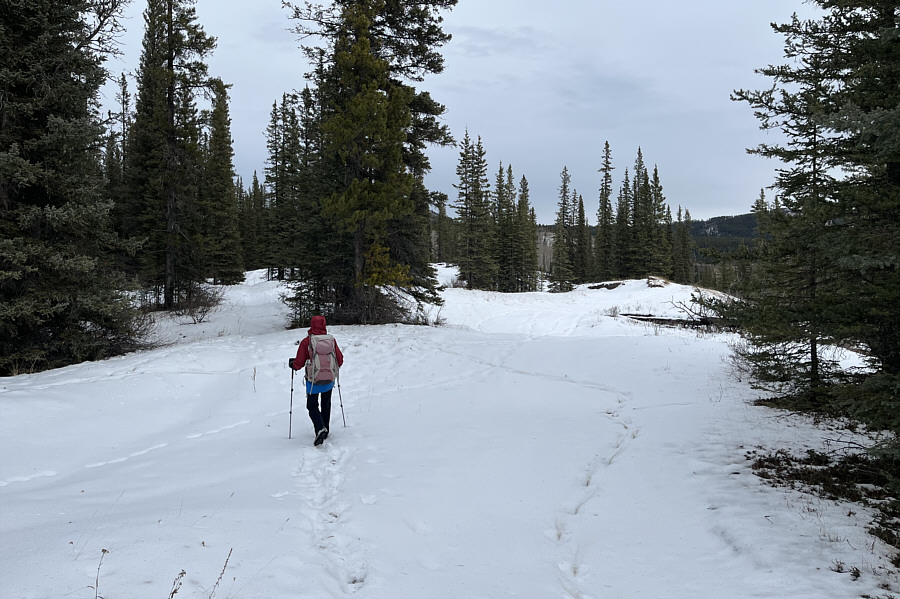 |
Zosia walks through another open area which is also the site of more sand dunes. |
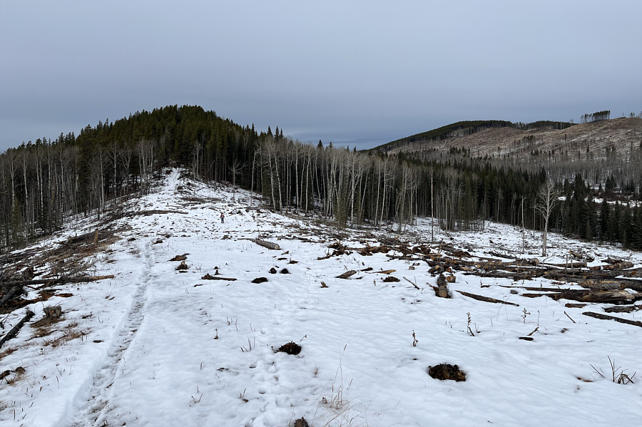 |
Zosia retraces her steps along the crest of Sand Ridge. |
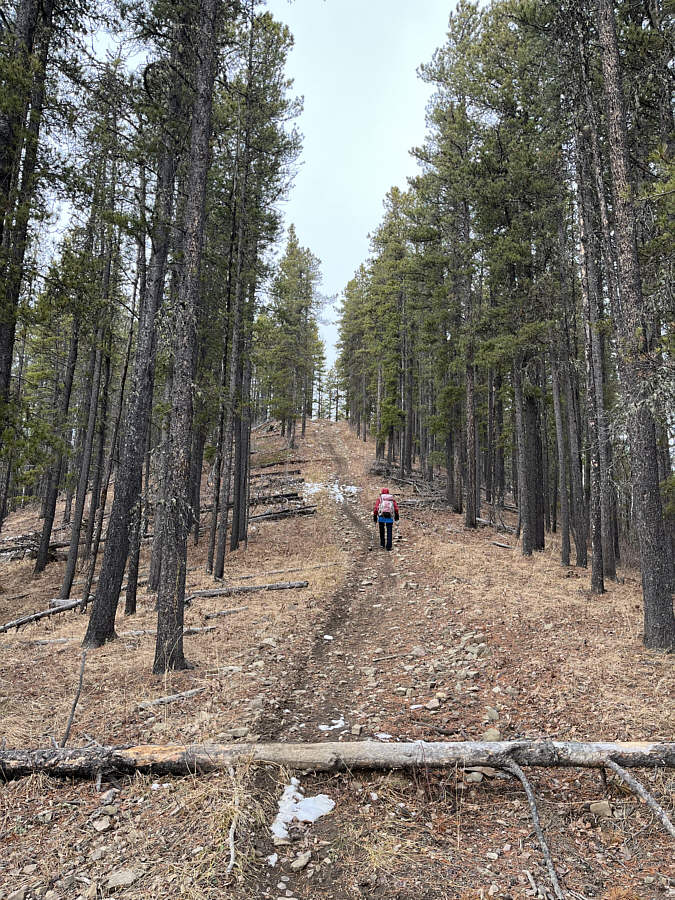 |
Going past the four-way junction, Zosia continues hiking northward along the crest of Sand Ridge. |
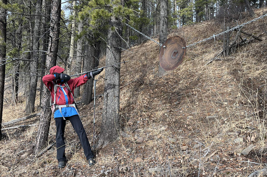 |
Zosia takes aim at a steel target which is suspended between two trees just below the ridge crest. |
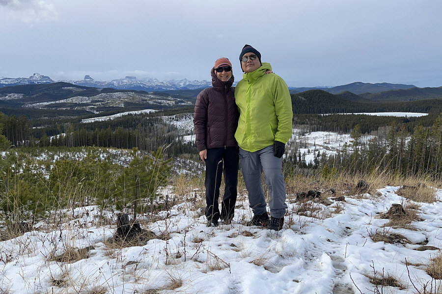 |
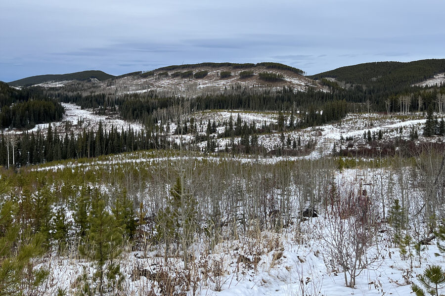
Zosia and Sonny stand near the high point of Sand Ridge (1600 metres). |
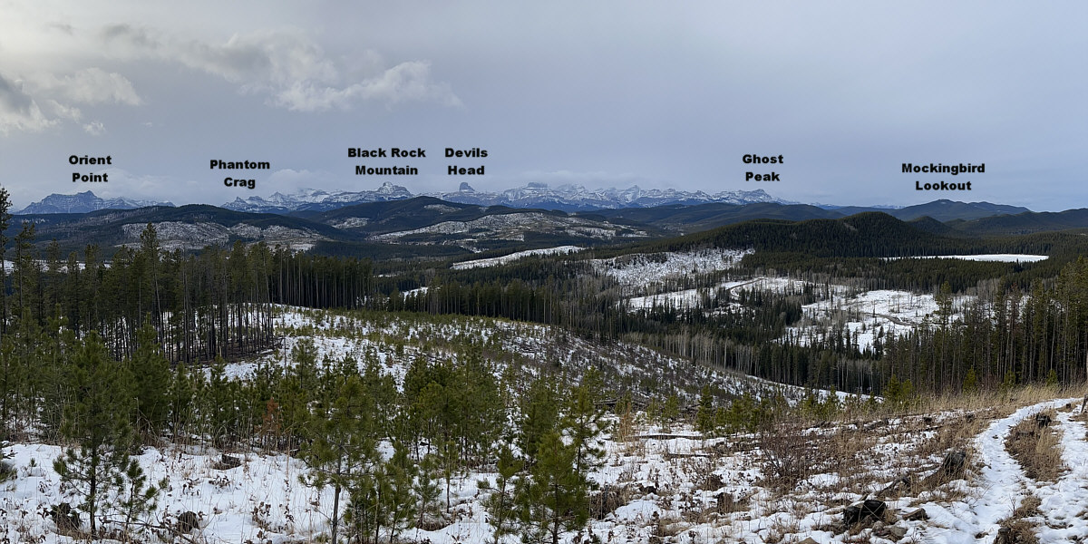
The view to the west from the high point includes Cow Lake at far right.
 |
Descending the north end of Sand Ridge, Zosia follows a dirt bike trail which eventually connects with the reclaimed road ahead. |
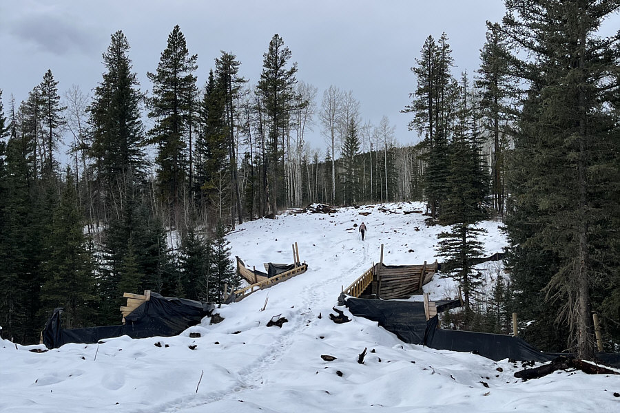 |
The reclaimed road crosses a small creek on this sturdy bridge. |
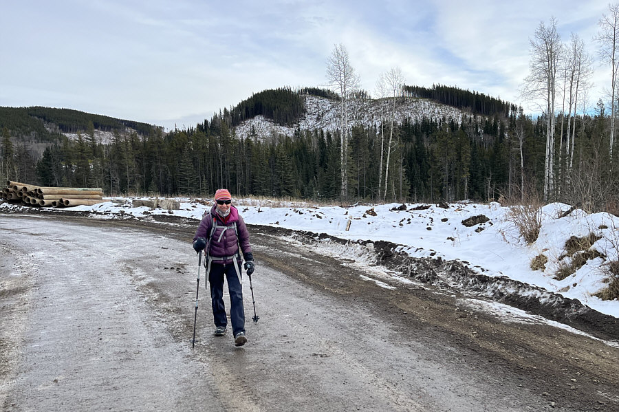 |
The north end and highest point of Sand Ridge can be seen behind Zosia as she reaches an active logging road which will lead her without fuss back to her starting point. |
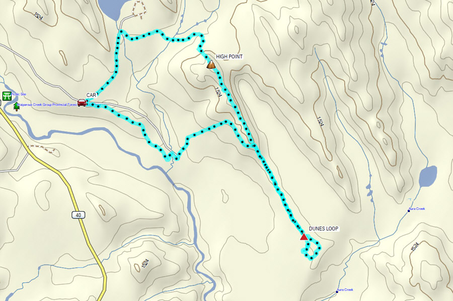 |
Total Distance: 10.1 kilometres Round-Trip Time: 4 hours 46 minutes Cumulative Elevation Gain: 214 metres |