 |
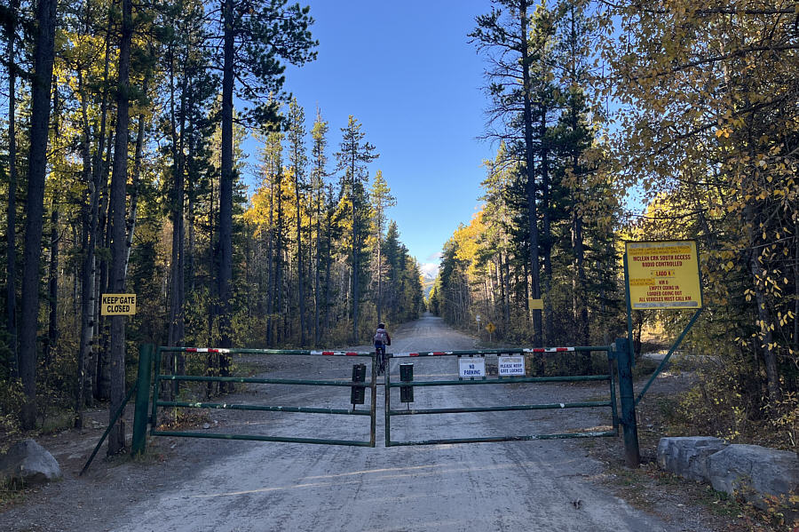
Zosia cycles past a gate at McLean Creek ATV Staging Area. |
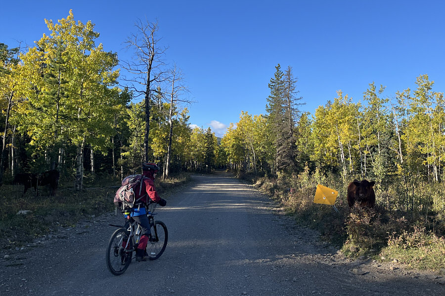 |
Zosia stops to greet a cow on the side of the road. |
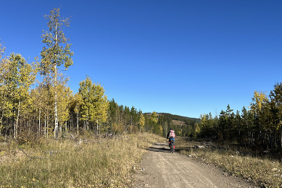 |
Zosia rides the last stretch of road before she has to abandon her bicycle. |
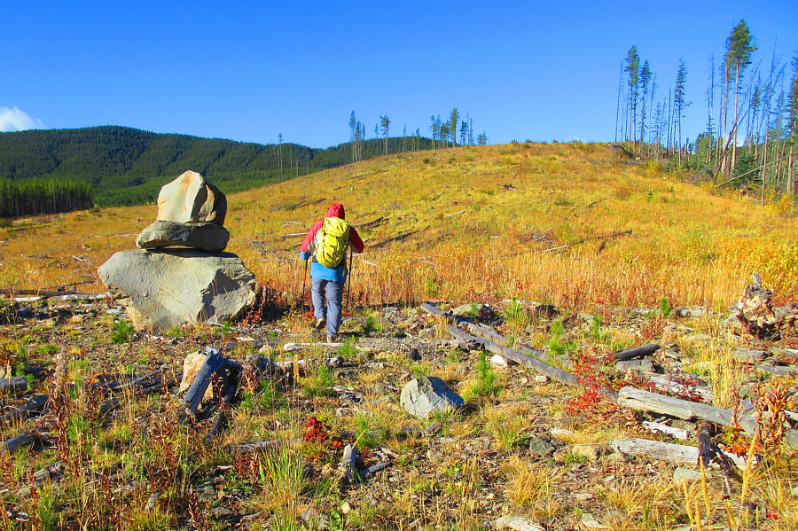 |
Seeming to sit randomly in the middle of a cut block, this giant cairn actually marks the start of what used to be a logging road going straight up the slope ahead. The road has since been completely reclaimed. Photo courtesy of Zosia Zgolak |
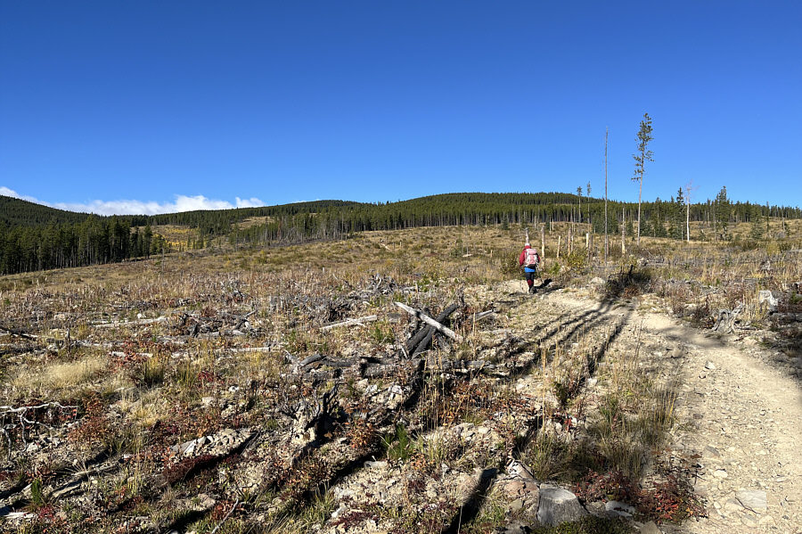 |
Eschewing confusing GPS tracks, Zosia takes to an obvious track labeled on OpenTopoMap as "Swany's Ridge SE Trail". |
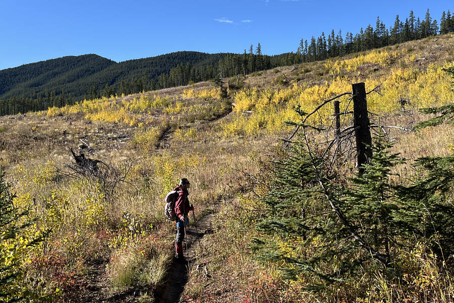 |
Quirk Ridge is visible at upper left as Zosia ascends past some colourful fall foliage. |
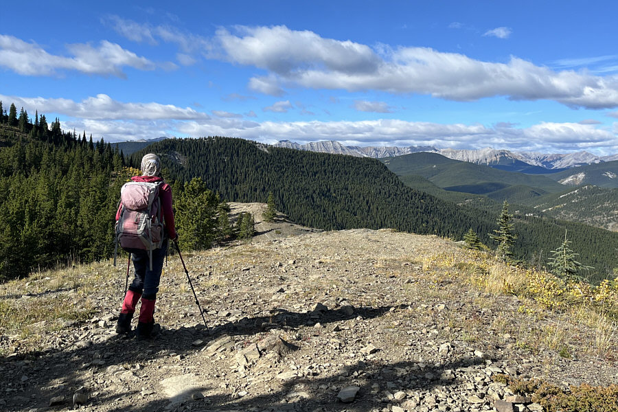 |
Zosia breaks out of the forest on the crest of Swany's Ridge. |
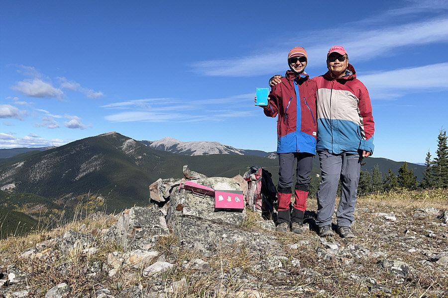 |
Zosia and Sonny stand on the high point of Swany's Ridge (1920 metres). Visible behind them are Prairie Mountain and Moose Mountain. |
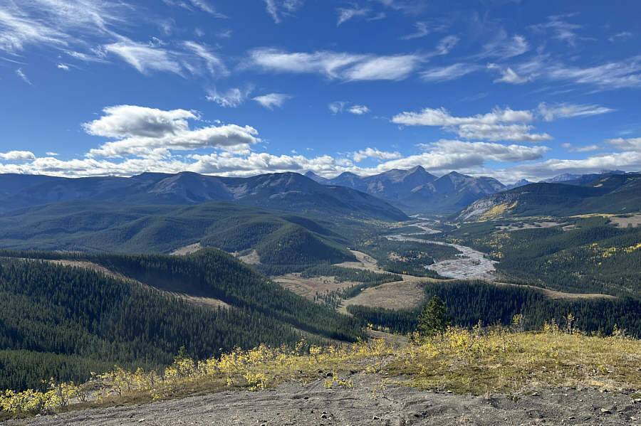 |
The top of an intervening bump between Swany's Ridge and Quirk Ridge--known as "Quirk Ridge North"--grants a superlative view of Elbow River and many familiar peaks and ridges in the vicinity. |
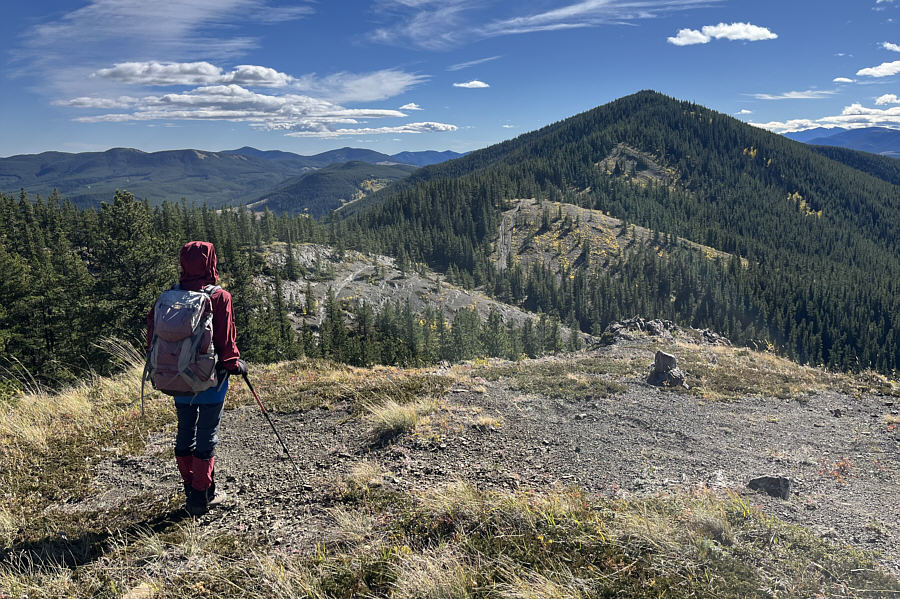 |
From the top of Quirk Ridge North, Zosia eyes the undulating connecting ridge to Quirk Ridge. |
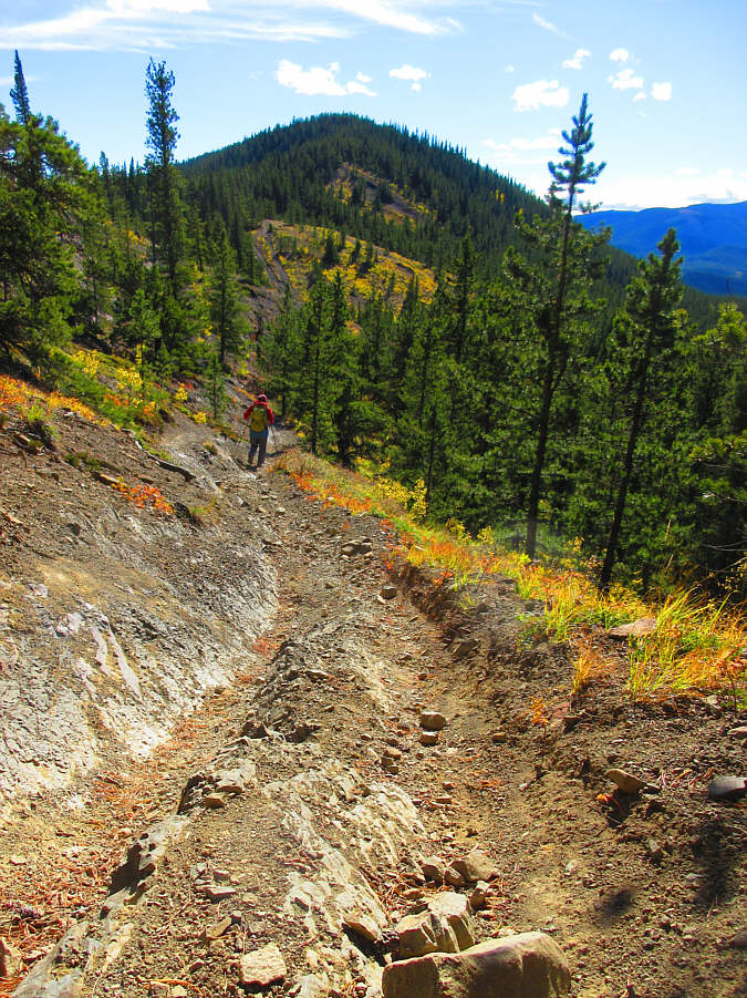 |
Zosia follows a dirt bike trail en
route to Quirk Ridge. Photo courtesy of Zosia Zgolak |
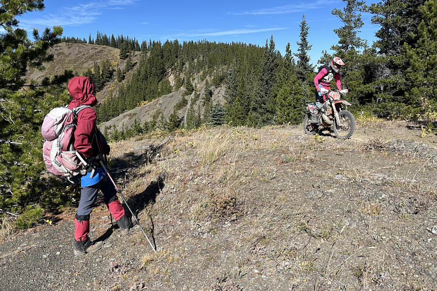 |
Zosia watches as a dirt biker zooms past her along the ridge. |
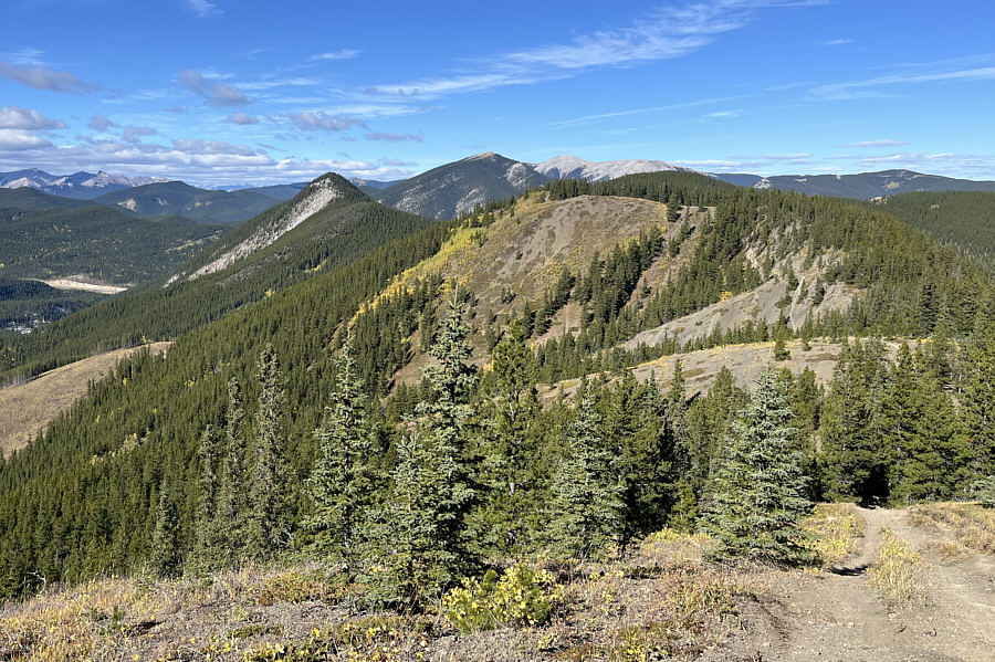 |
From partway up Quirk Ridge, this is looking toward Quirk Ridge North (centre with yellow vegetation) and Swany's Ridge (forested bump right of centre). The sharp bump at left is Iyarhe Ipan. |
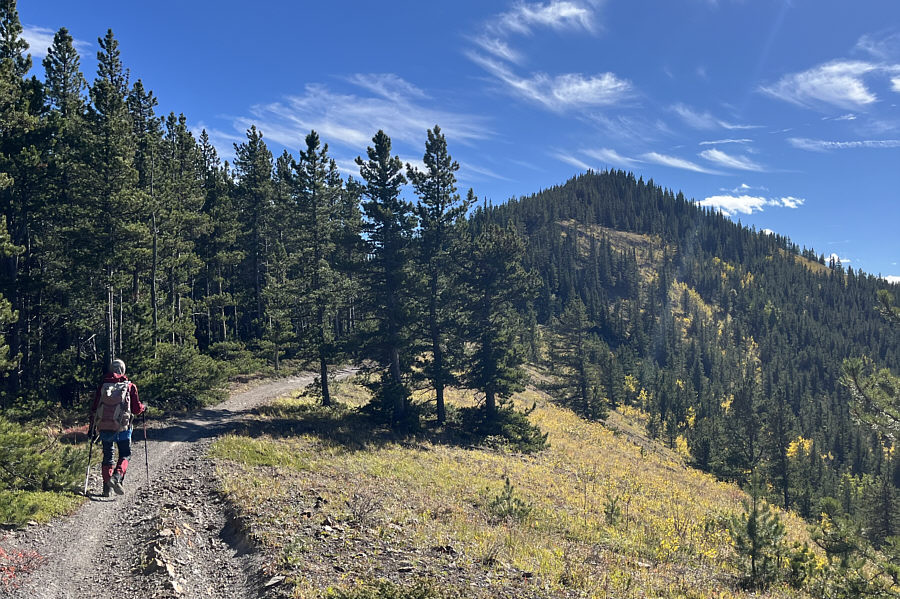 |
The dirt bike trail is easy to follow to the top of Quirk Ridge. |
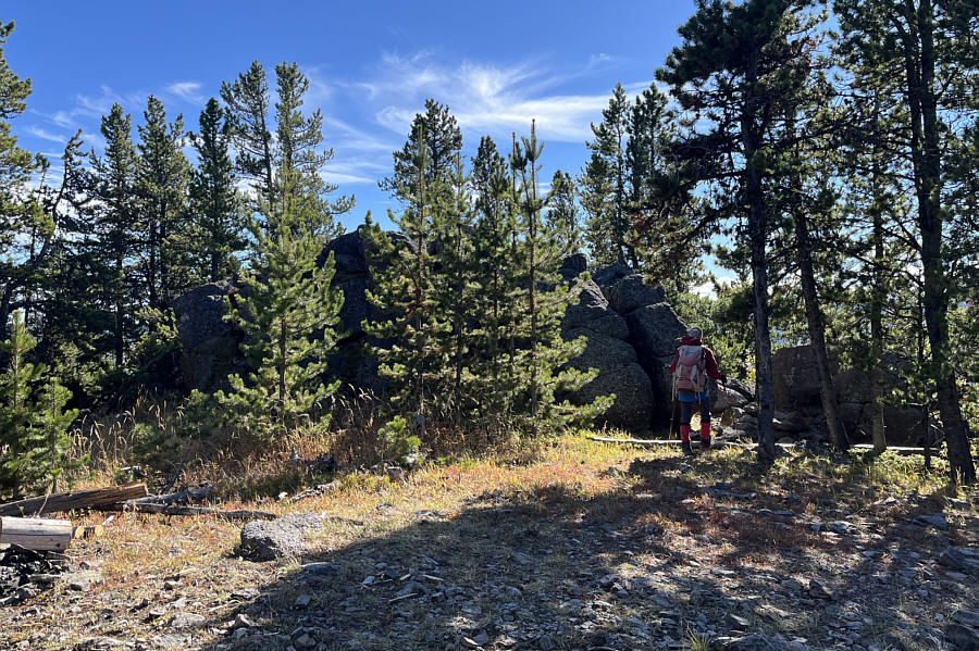 |
The true high point of Quirk Ridge is atop this hidden rock outcrop. |
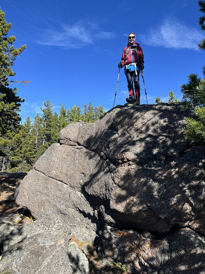 |
Zosia stands on the true high point of Quirk Ridge (1994 metres). |
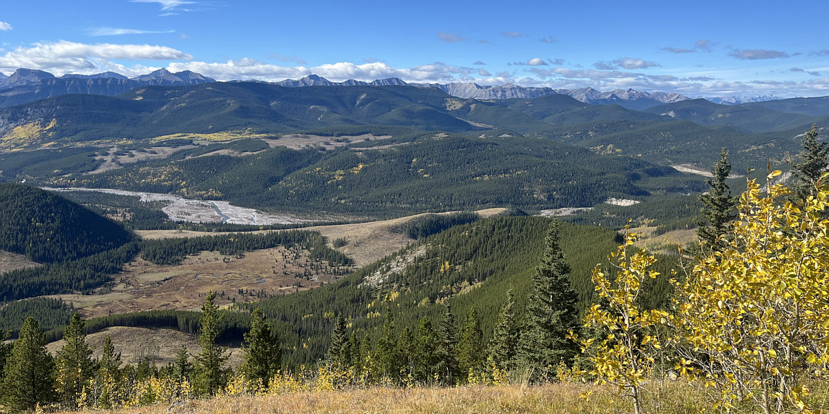
Here is a panoramic view to the west from a clearing just north of Quirk Ridge's true high point.
For our return trip, Zosia and I retraced our steps along the dirt bike track as far as the aforementioned dip in the ridge. At this point, we resumed following Spirko's GPS track and abandoned the dirt bike track to drop down the east side of the ridge. Bushwhacking was light here, and we even found convenient game trails to follow. We eventually emerged from the forest and entered a vast cut block--the very same one that we avoided at the beginning of our hike. Although hiking through the slash was not technically difficult, the poor footing made travel tedious and unpleasant. Spirko's zigzagging GPS track through the cut block suggested that he had followed some sort of meandering trail or road, but as we covered what was presumably his route, we found not even a hint of a beaten path. Ultimately, we gave up trying to follow Spirko's GPS track and simply made a beeline down the slope. After much stumbling and swearing, we arrived at the giant cairn near the start of our hike and were relieved to put the miserable cut block behind us. We subsequently retrieved our bicycles and enjoyed a pleasantly fast ride back to McLean Creek ATV Staging Area.
Back home, I re-visited everyone's trip reports and was shocked to discover that they had all ridden their bicycles much farther than us on an obvious logging road that nearly reached the crest of the ridge. This logging road has now been completely reclaimed and no longer exists even though it still shows up on current Google Maps satellite imagery. Regardless of the road's disappearance, there are likely other feasible ways of descending from Quirk Ridge without having to backtrack over Swany's Ridge, but I leave that problem to the next adventurous soul who might follow our tracks.
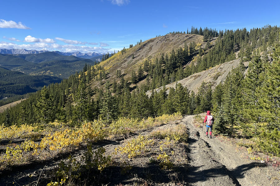 |
Zosia descends to a dip between Quirk Ridge and Quirk Ridge North. This dip will be her exit off the ridge to the east. |
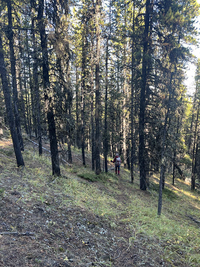 |
Zosia descends a game trail to the east of Quirk Ridge North. |
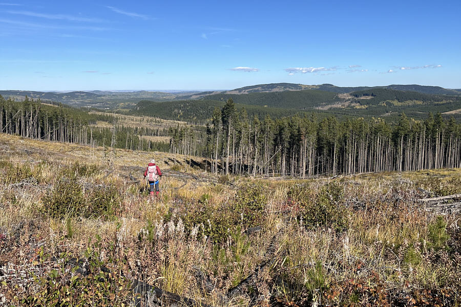 |
Emerging from the forest, Zosia faces a long and tedious stumble through a vast cut block because the road that was previously here has been reclaimed. |
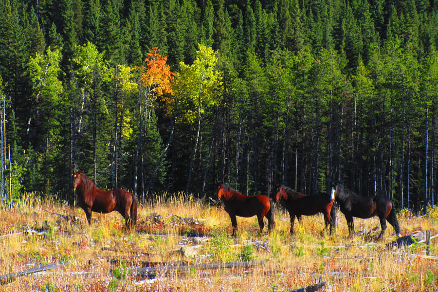 |
Some wild horses are startled to see
interlopers in their cut block. Photo courtesy of Zosia Zgolak |
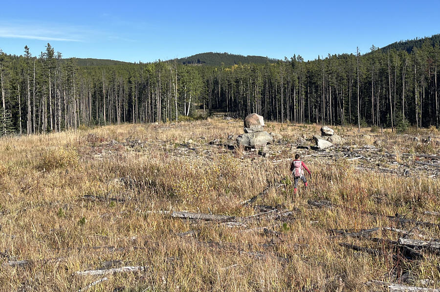 |
Zosia makes it back to the giant cairn near where she had ditched her bicycle. |
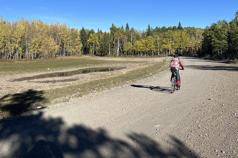 |
Zosia enjoys a fast and easy ride back to McLean Creek ATV Staging Area. |
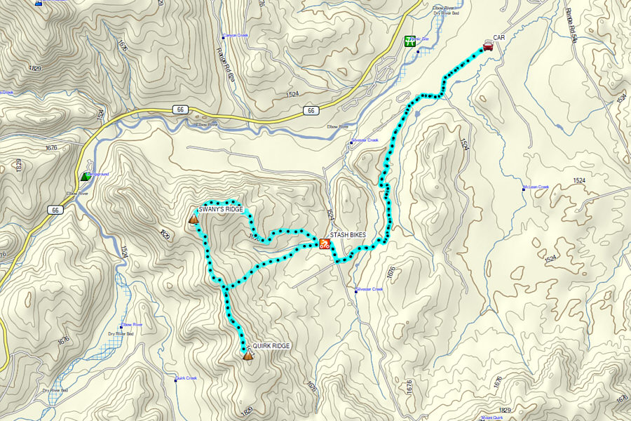 |
Total Distance: 24.3 kilometres Round-Trip Time: 7 hours 39 minutes Cumulative Elevation Gain: 701 metres |