BOU AVENUE
Lazy Lake

On 26 October 2025, Zosia Zgolak and I organized a Halloween-themed hike to unofficially-named "Lazy Lake" near the eastern boundary of Alberta's McLean Creek Off-Highway Vehicle (OHV) Public Land Use Zone (PLUZ).  When we visited Lazy Lake previously in February of 2022, it was frozen and snow-covered, and I felt that a return trip would be warranted to see the actual waters of the lake.  On that previous hike, we ascended a small hill--"Lazy Lake Hill"--near the lake, but satellite imagery shows there are other hills nearby which might also be worth climbing.  Joining us for the hike this time were Wendy Kadar (and her dog, Kira), Houmaro Kone, Teresa Kosmala, Shelley Milutinovic, Aga Sokolowska, Dorota Sokolowska, and Maya Wojnarowska.

Rendezvousing at the edge of the PLUZ (50.86598, -114.55550), our motley crew of witches and wild things passed through a seasonal gate and turned south to follow a good gravel road for about half a kilometre to a concrete barricade.  Past this point, the road downgrades to a jeep track which was still easy enough to hike despite a few swampy sections.  About 1.5 kilometres beyond the barricade, we crested a low ridge before dropping down the far side to a T-junction with Fish Creek Trail East, a major thoroughfare which is heavily used by OHV enthusiasts.  Turning left, we hiked southward along Fish Creek Trail East for another 780 metres--dodging a few big mud holes along the way--before abandoning it to climb eastward up a steep cut line.  This led us without too much difficulty to the top of a logged hill (HP1) which would also turn out to be our highest point reached for the day.

A very scary collection of characters to meet in the woods!

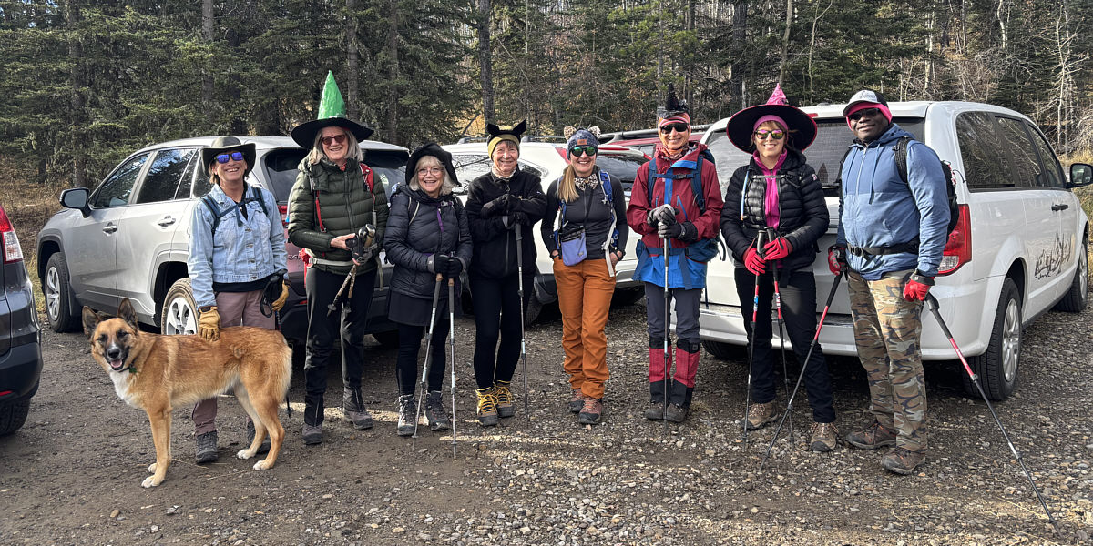
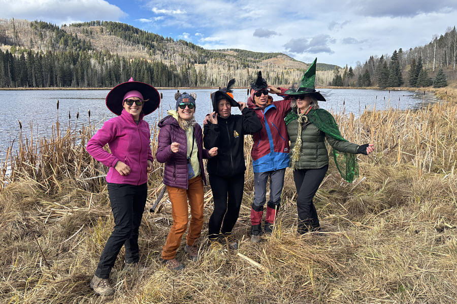
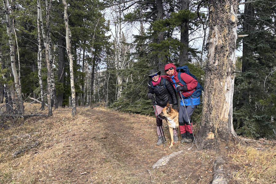
Up to no good are (L to R), Kira (Wendy's dog), Wendy, Maya, Shelley, Teresa, Aga, Zosia, Dorota and Houmaro.

I think this is to keep OHVs from driving out rather than driving in. 
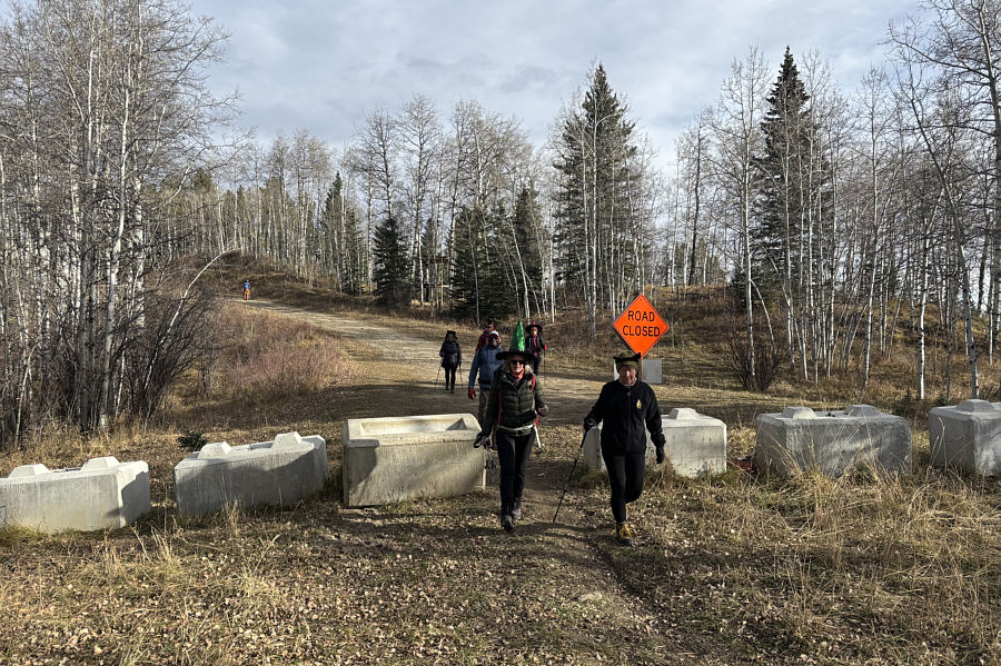
The group passes a concrete barricade near the public land use zone boundary.
We should've descended this slope later on! 
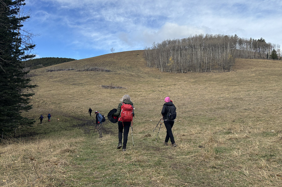
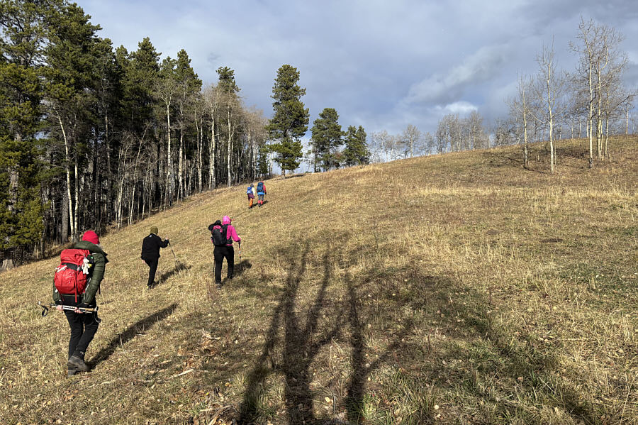
The group hikes past a hill which they would climb up later in the day.
I wonder if any OHVs have ever crashed into that lone tree... Maya and Aga turn left (south) at a T-junction with Fish Creek Trail East.
Go Houmaro, go! 
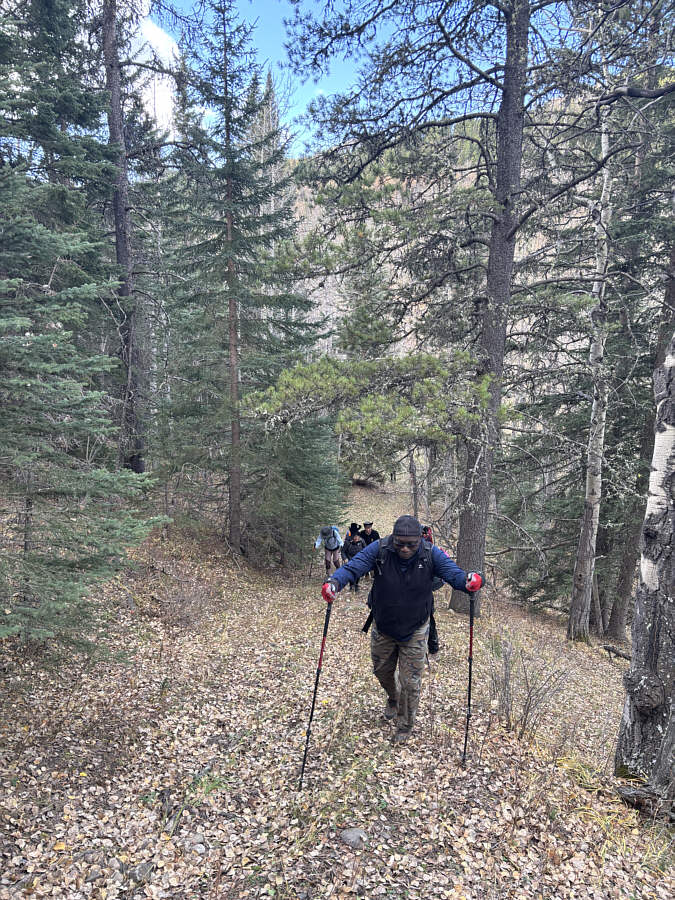
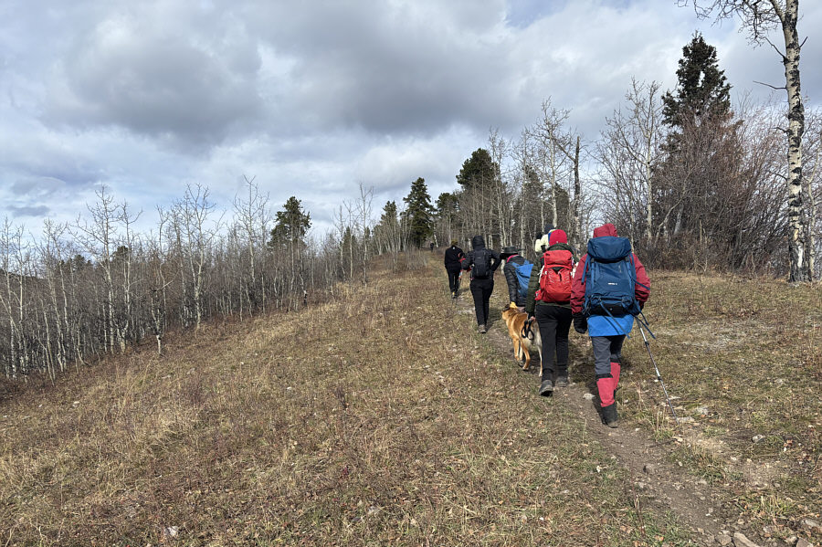
Houmaro leads the group up a steep cut line.
Easy street. 
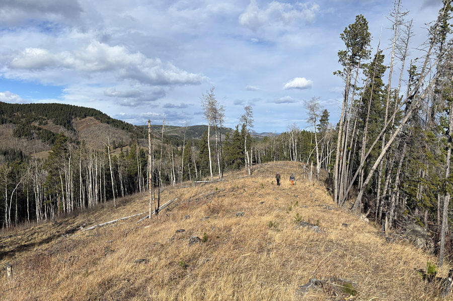
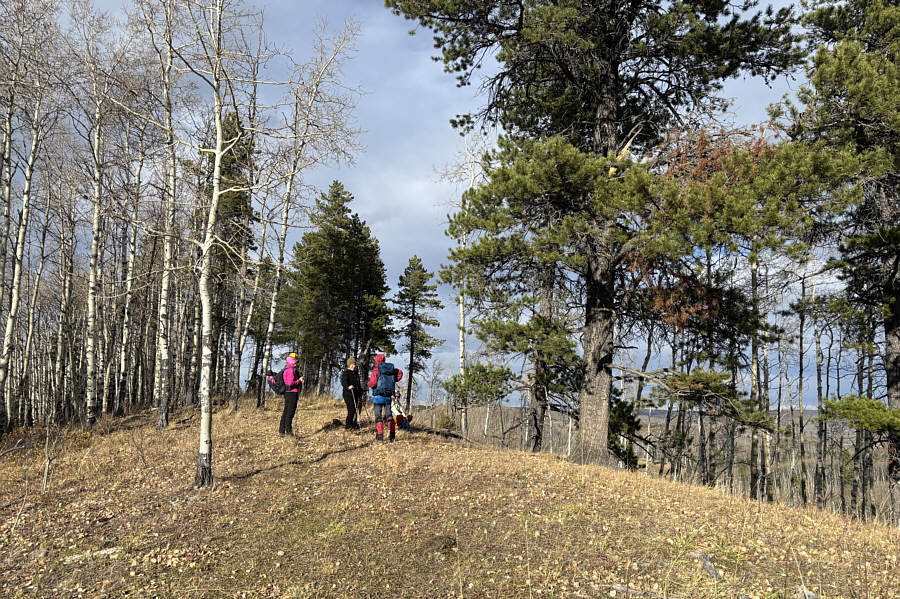
Maya and Aga break out of the trees onto an open ridge.
 

Happy Halloween!

The scary group stands on the first hill (HP1; 1517 metres) of the day.


Traversing the top of HP1, our ghastly group descended a cut block and then followed a fence line back down to regain Fish Creek Trail East.  After waiting for a big convoy of OHVs to pass, we continued southward for another 1.3 kilometres to reach the eastern shore of Lazy Lake.  The OHV enthusiasts were parked there and already had a bonfire started, but there was still plenty of space for our group to sit and have a short break.
Definitely easier to hike here in winter when everything is frozen! 
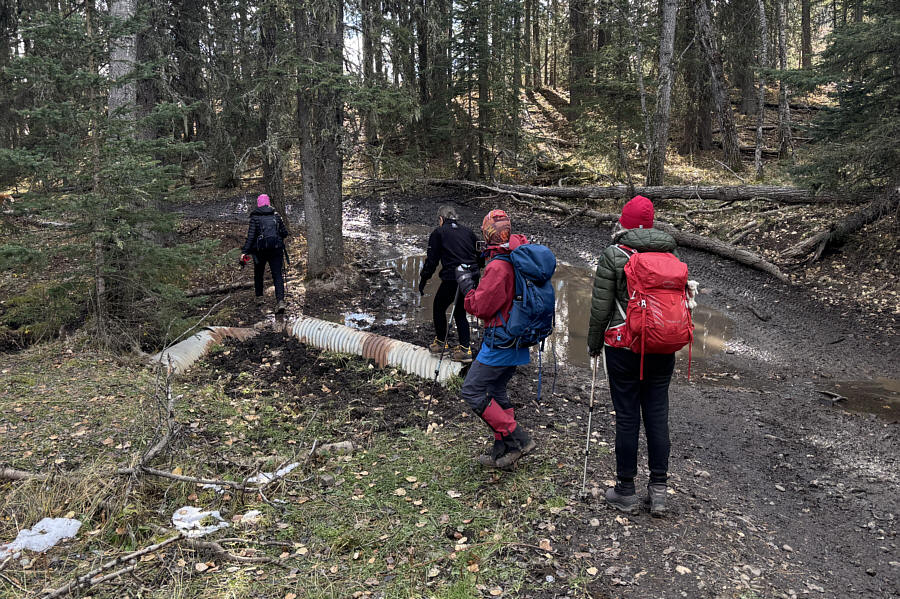
Many sections of Fish Creek Trail East are muddy messes which necessitate tricky detours.
It's good that she's still smiling!

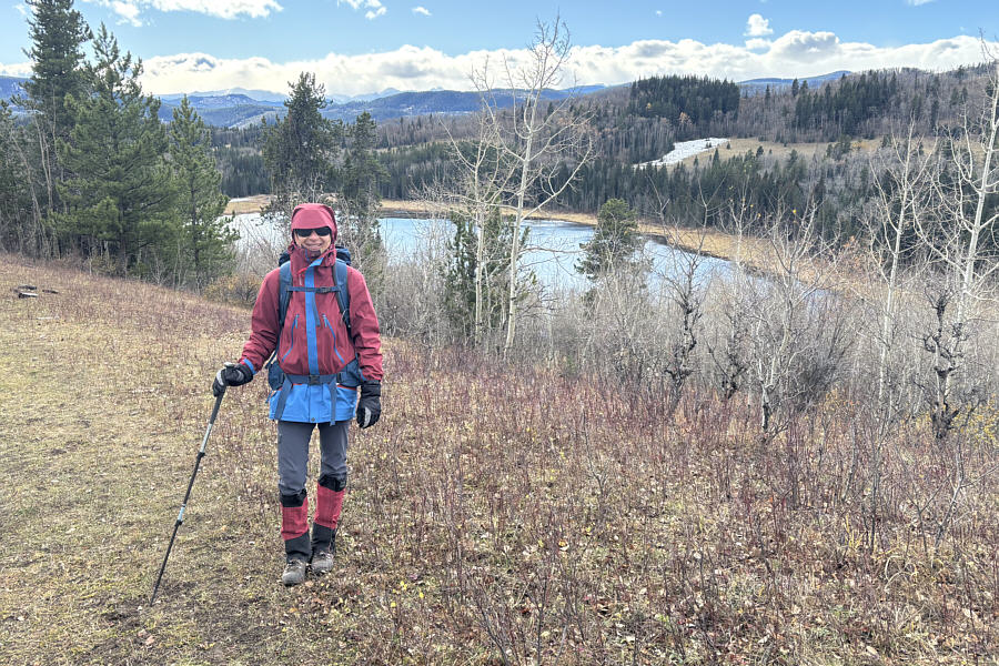
Teresa arrives at "Lazy Lake".

It's actually a nice-looking lake! 
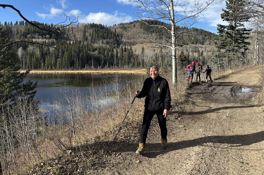
The group stops for a break at Lazy Lake.
Wszystkie piękne panie! All the Polish ladies gather for a song by the lake.
When we finished taking a break, our campy company easily ascended nearby Lazy Lake Hill (HP2) where we stumbled onto a makeshift campsite which was not there in 2022.  We briefly poked around the campsite before descending another cut block to regain Fish Creek Trail East for a second time.  Heading northward, we encountered a few more mud holes we had missed when we took our detour up the first hill, but by now, we were getting pretty good at tiptoeing around all the muddy messes.  Upon returning to the T-junction, we continued north for another 300 metres to visit an unnamed pond which had looked underwhelming back in 2022.  Much like Lazy Lake, the pond looks more appealing when it is not frozen and blanketed by snow.
Much easier to climb than I remembered! The group hikes up the south ridge of "Lazy Lake Hill".
So long, Lazy Lake! See you next year? Here is a last look at Lazy Lake behind Zosia.
Where did everyone else go? Wendy, Zosia and Kira huddle beside a tree on the high point of Lazy Lake Hill (HP2; 1496 metres).
Haunted house? 
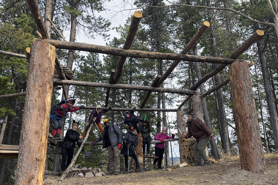
This creepy structure has some creepy denizens.
Don't slip! 
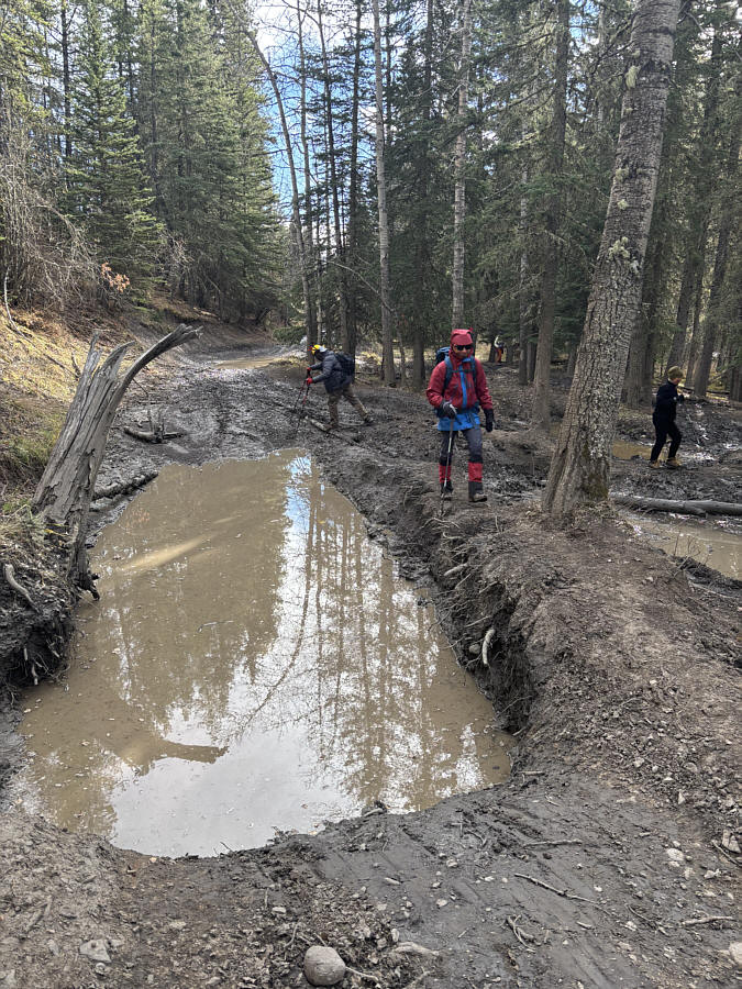
Back on Fish Creek Trail East, the group tries to get around a deep mud hole.
The swampy grass makes it hard to get close to the lake's edge. 
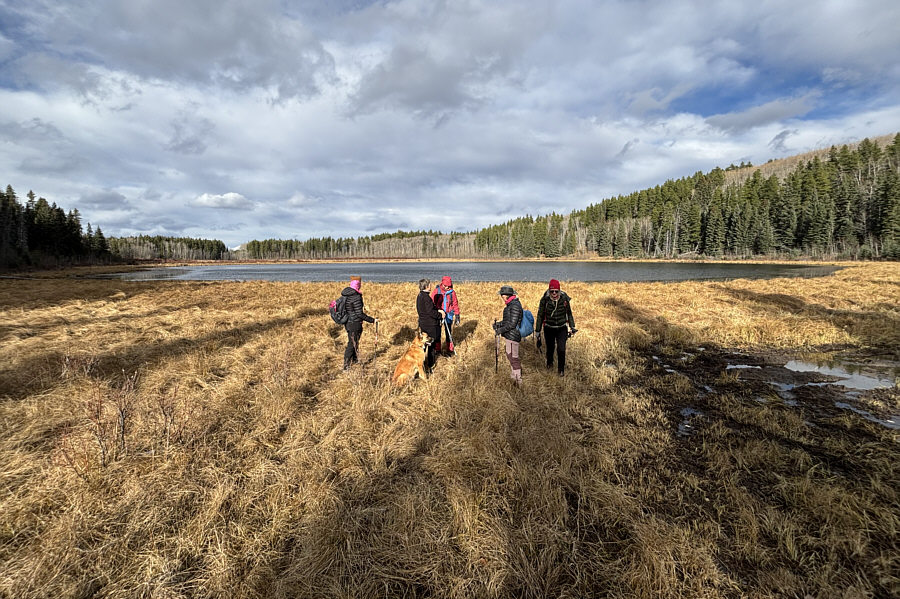
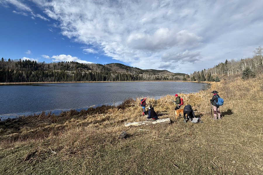
The group visits an unnamed pond located about 2.5 kilometres north of Lazy Lake.
Leaving the pond, our frightful fellowship hiked back to the low ridge crest just east of the T-junction, but instead of returning along the jeep track, we impulsively followed the ridge crest northward to the top of yet another hill (HP3).  We also traversed this hill by continuing north along a promising cattle trail before descending into a cut block.  At this point, we should have turned east to intersect the original jeep trail, but unfamiliar with the terrain here, I made the mistake of leading everyone further north in hopes of finding an easier path back to our starting point.  As it turned out, this was a much more arduous route which entailed more ups and downs, lots of unpleasant walking through logging slash, and a brief but very nasty stretch of bushwhacking.  Fortunately, we were all none the worse for wear when we finally popped out onto the road right near the seasonal gate where we parked.

I give kudos to everyone who participated in this hike and put up with all the mud, the logging slash, and my questionable route-finding.  A very big thank you goes to Wendy for hosting all of us later at her place for a wonderful après-hike party.
Can't pass up another easy high point! 
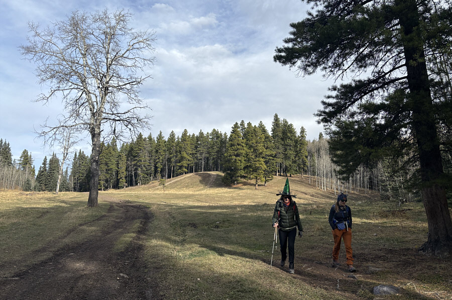
The group climbs up the hill which they passed earlier in the day.
Okay, that's probably enough hills for the day! The group pauses near the high point of the last hill (HP3; 1481 metres).
Geez, how the heck did we end up here?? 
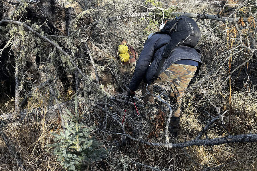
Sonny and Houmaro muddle through a short but particularly heinous stretch of deadfall.

Photo courtesy of Zosia Zgolak

We took the long and difficult way back! 
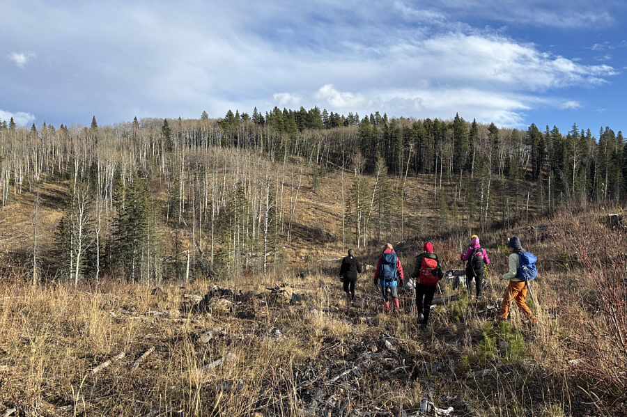
After wandering through numerous cut blocks, the group has to climb over a forested ridge to reach their starting point.
The Good, The Bad, and The Ugly would be an apt description for this outing! 
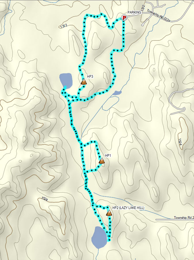
Total Distance:  12.0 kilometres
Round-Trip Time:  5 hours 19 minutes
Cumulative Elevation Gain:  283 metres

GPX Data