BOU AVENUE
Lyons Creek Ridge

On 1 February 2025, Zosia Zgolak and I did a ski ascent of an unnamed ridge south of Pass Powderkeg Ski Area in Alberta's Livingstone Public Land Use Zone.  Given the ridge's proximity to Lyons Creek and unaware of any other references, I have taken the liberty to name it "Lyons Creek Ridge".  I used mainly satellite imagery from Google Maps to formulate an ascent route which I hoped would be reasonable to ski.  Of course, there were many uncertainties--most importantly, snow conditions and amount of off-trail deadfall--but the only way to find out was to go see for ourselves first-hand.

From 20 Avenue (the main drag) in Blairmore, turn south onto 133 Street and cross the railroad tracks.  Drive 4 blocks and turn right on 16 Avenue.  Continue straight through the intersection with 132 Street where 16 Avenue becomes Sartoris Road (2WD gravel).  Drive another 1.3 kilometres before turning left into Sartoris Staging Area (no facilities).  Park here.

Starting behind the information board near the south end of the staging area, Zosia and I followed a snowmobiler's short cut over a short rise before dropping down to merge with Sartoris Road past a seasonal gate.  Sartoris Road is a major snowmobile thoroughfare in winter and was nicely packed down allowing for easy skiing.  The snow conditions were surprisingly not bad as well, and we made good progress southward along the road which eventually dips a little while bending westward.  About 3.6 kilometres from the staging area, we turned right (north) to follow a narrower but still well-traveled ATV road.  This road crosses a couple of small creeks before continuing northward along the west flank of our objective.  Snow conditions on the ATV road were even better than before providing us a surprisingly delightful stretch of skiing.  About 2.7 kilometres north of the turnoff from Sartoris Road, we merged with a wider road, but only a short distance further, we abandoned this road and veered right to ascend a logging corridor through the forest.  This led us to the bottom of a big cut block on the northwest slopes of our ridge.  We put on our climbing skins here and ascended the cut block with Zosia doing all the trail-breaking.  The top of the cut block is only a short distance below the ridge crest, but this was the steepest part of the entire ascent.  With some difficulty, we managed to zigzag and side-step up this last slope and were soon on top of what appeared to be the high point of the ridge.  Just to be sure, we skied south along the ridge crest to tag some subsidiary bumps, but nothing looked obviously higher.  We eventually returned to the high point to take a short break.

For our descent, Zosia and I retreated the way we came.  Dropping off the ridge crest to the top of the cut block proved to be quite challenging, and while it did not look pretty, we managed to make it down without a spill.  Mindful of logging debris lurking under the snow, we skied down the big cut block fairly cautiously, but as it turned out, the coverage was actually pretty good.  When we skied back out the logging corridor to the road, we made a detour to check out a nearby frozen pond before resuming our homeward journey.  A couple of longish uphill sections made the return along the ATV road feel more tedious than it should have been, and as we regained Sartoris Road, we were hit by a squall which stung our faces with blowing snow.  Fortunately, the squall became less of a factor once we turned northward away from the teeth of the wind, and we subsequently cruised back to the staging area without further issues.
Why no toilets here? 
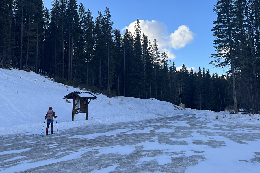
Zosia begins skiing from Sartoris Staging Area.
Entering public land! 
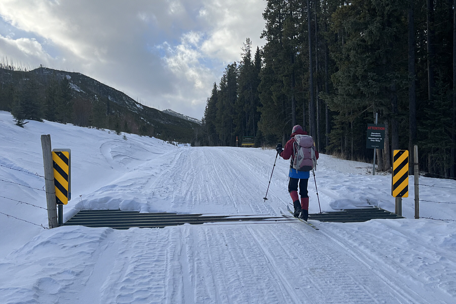
Zosia crosses a Texas gate along Sartoris Road.
Might be worth checking out in the summer... 
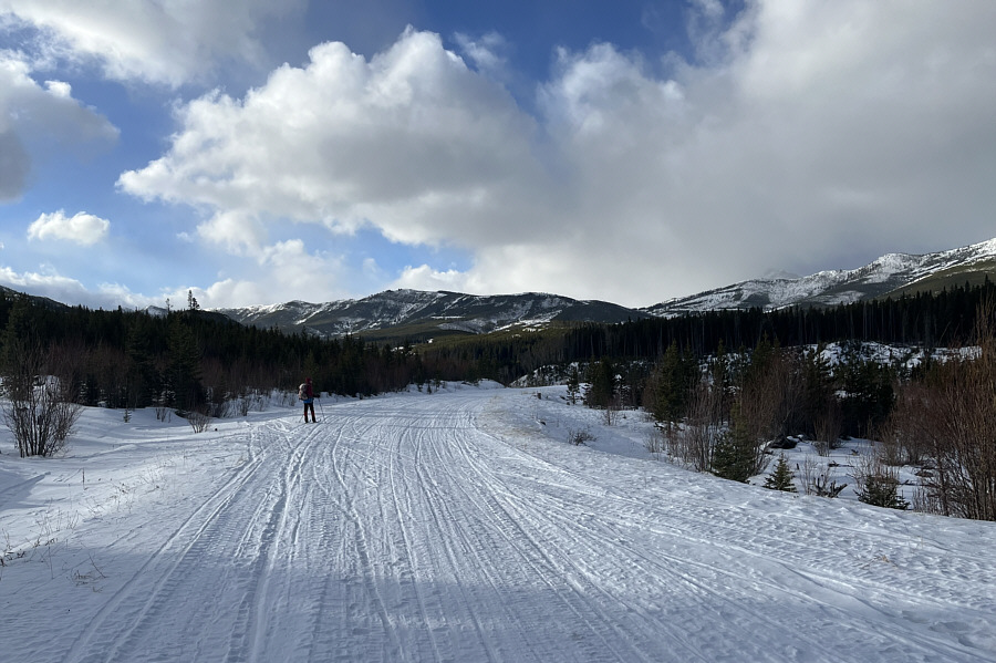
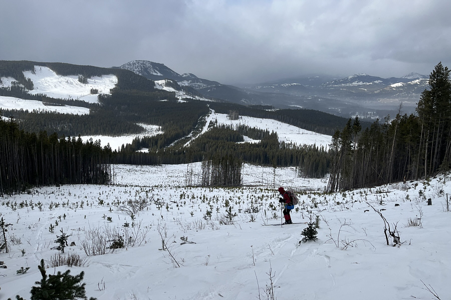
Willoughby Ridge stretches across the horizon as Zosia makes her way further into the valley.

Looks like a nice ski slope at the south end!

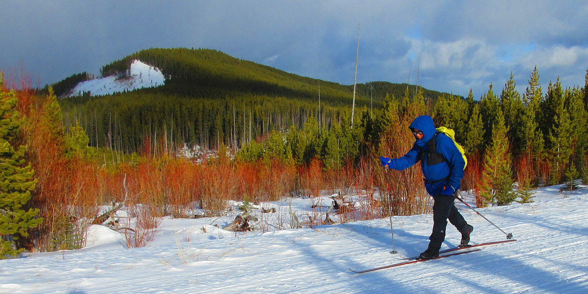
Lyons Creek Ridge dominates the background as Sonny skis along Sartoris Road.

Photo courtesy of Zosia Zgolak


Can we get a lift?

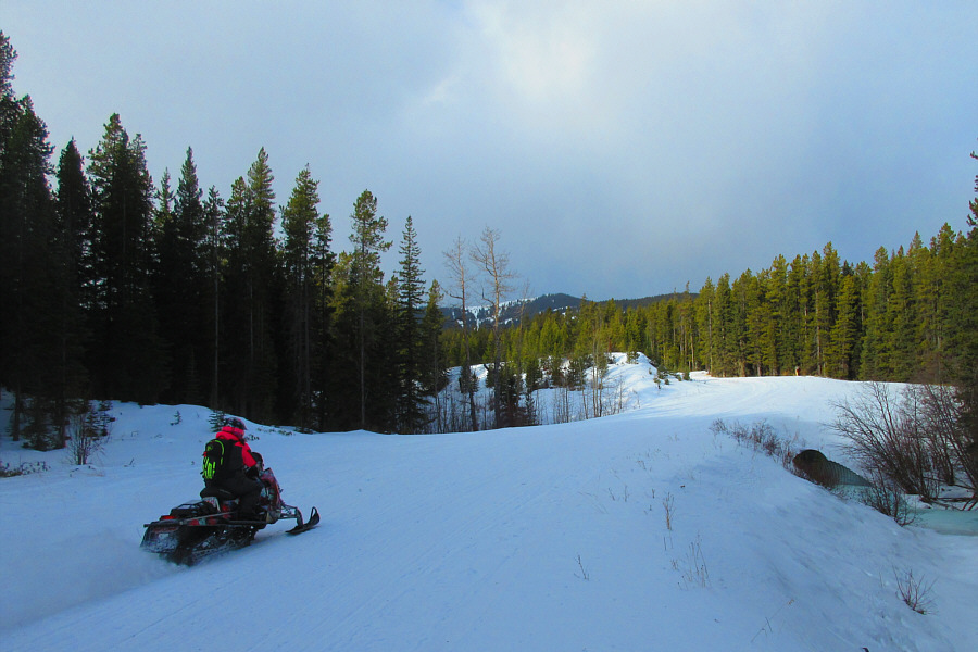
A snowmobile zooms by along Sartoris Road.

Photo courtesy of Zosia Zgolak

Much better snow conditions on this road! 
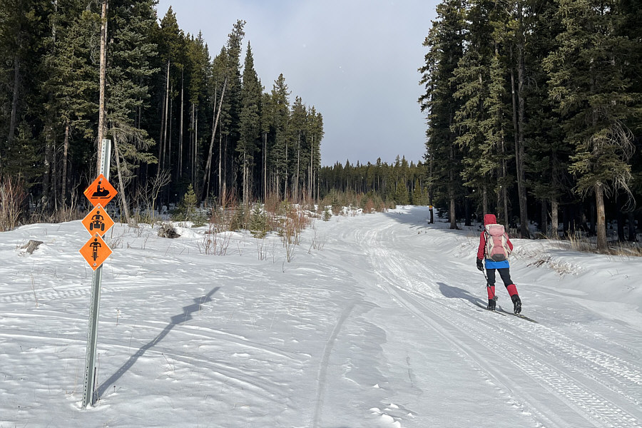
Zosia leaves Sartoris Road and heads north along an ATV road.
Forgot to bring my hotdog! Some of the burnt logging debris here are still smoldering in the middle of winter.
I took the road less traveled, and that has made all the difference! 
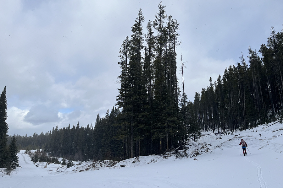
Zosia splits off from the road to enter a logging corridor.
Time to slap on the climbing skins! 
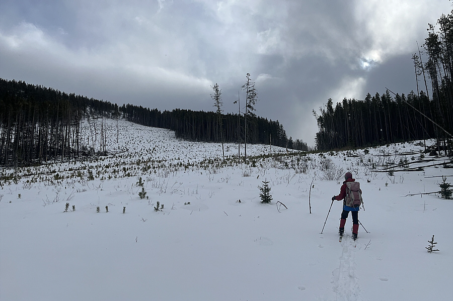
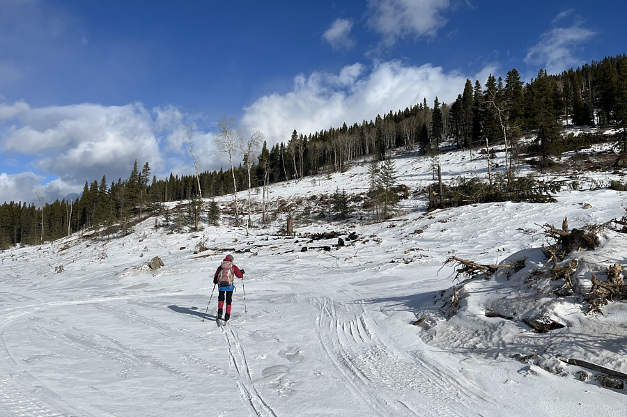
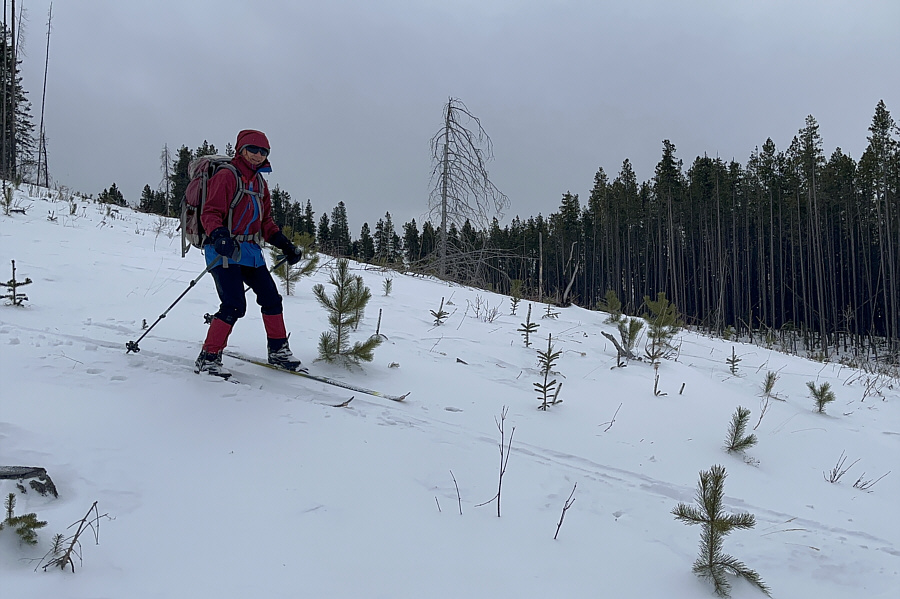
Zosia climbs up a large cut block.
Might have been easier to walk up! 
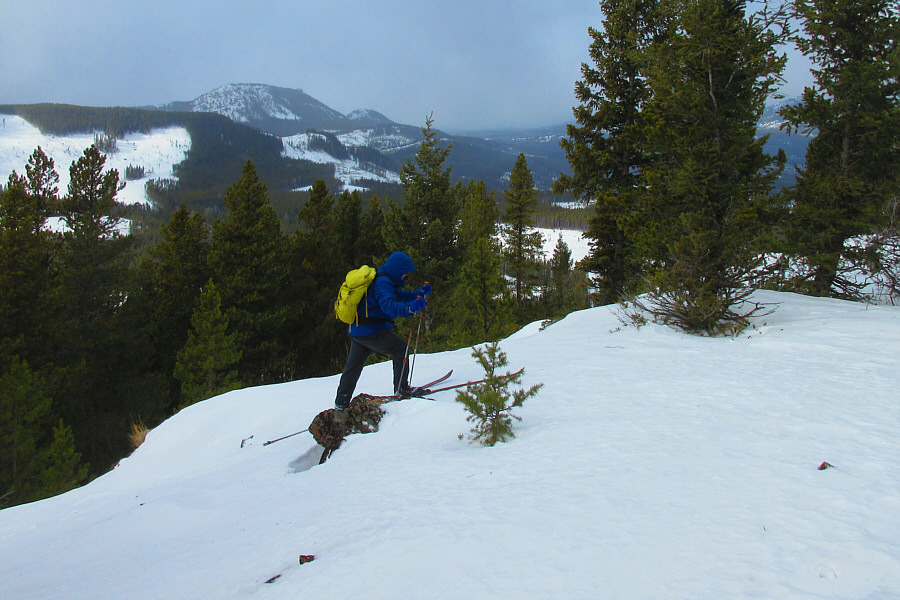
Sonny struggles to climb the last few metres to the ridge crest.

Photo courtesy of Zosia Zgolak

Some more backcountry ski slopes here? 
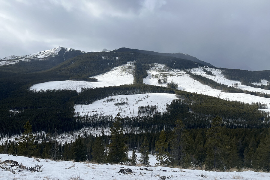
To the southwest at far left is the high point (Ironstone Lookout) of Willoughby Ridge.
Seems like a lifetime ago when I was up on Turtle Mountain. 
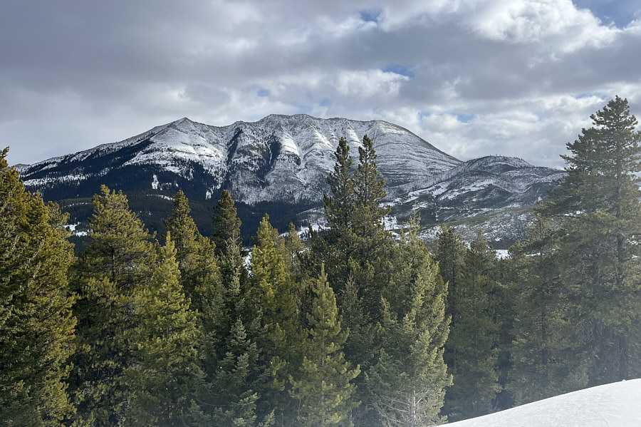
Turtle Mountain and Hurtle Peak (right) can be seen to the east.
Showing some skin! 
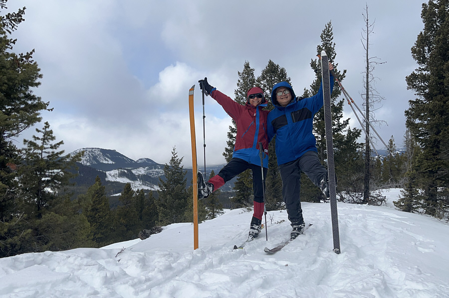
Zosia and Sonny kick their skis up on the high point of Lyons Creek Ridge (1630 metres).
Not bad but would be great with more fresh powder! Zosia skis back down the large cut block.
The tuck zone! Lower down, Zosia feels comfortable enough to let her skis run straight.
Beavers are wondering who is stomping around on their roof! 
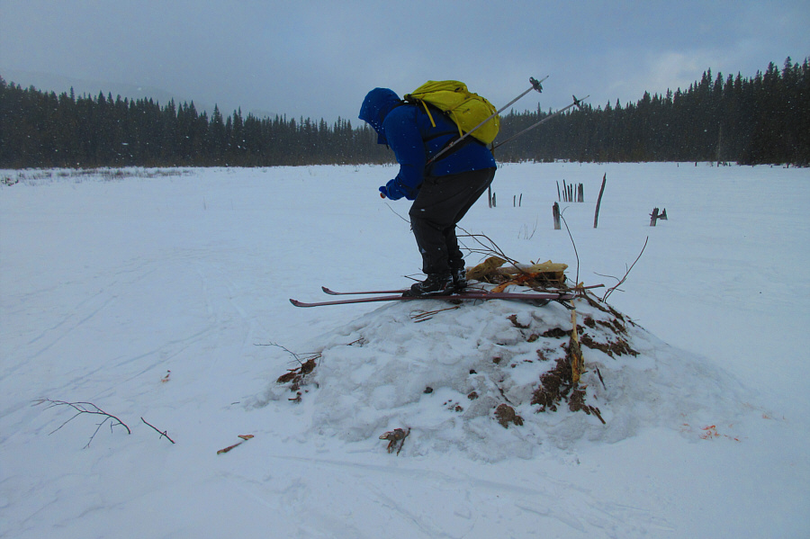
Sonny is ready to tuck down this beaver mound in the middle of a nearby frozen pond.

Photo courtesy of Zosia Zgolak

That wind bites! 
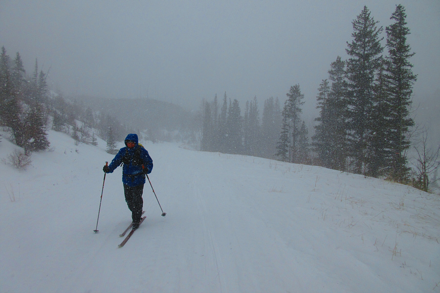
Back on Sartoris Road, Sonny skis through a snow squall.

Photo courtesy of Zosia Zgolak

A surprisingly fun ski tour. 
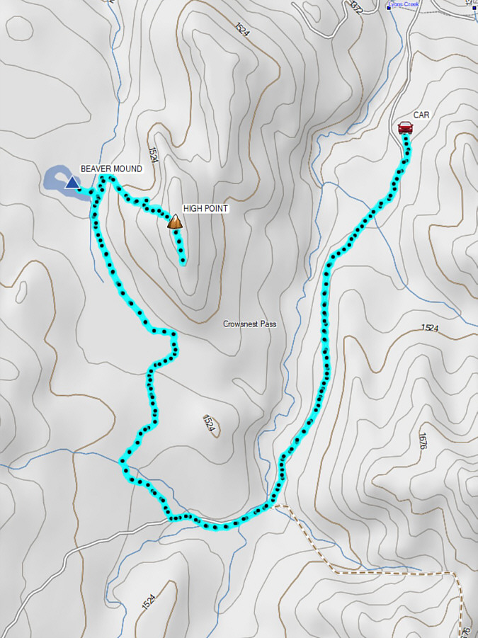
Total Distance:  16.3 kilometres
Round-Trip Time:  6 hours
Cumulative Elevation Gain:  325 metres

GPX Data