|
|
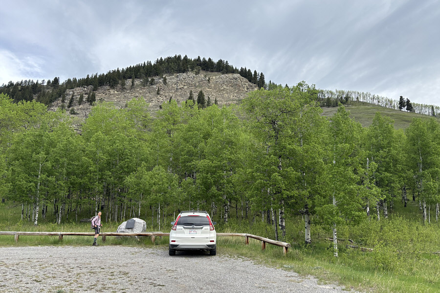
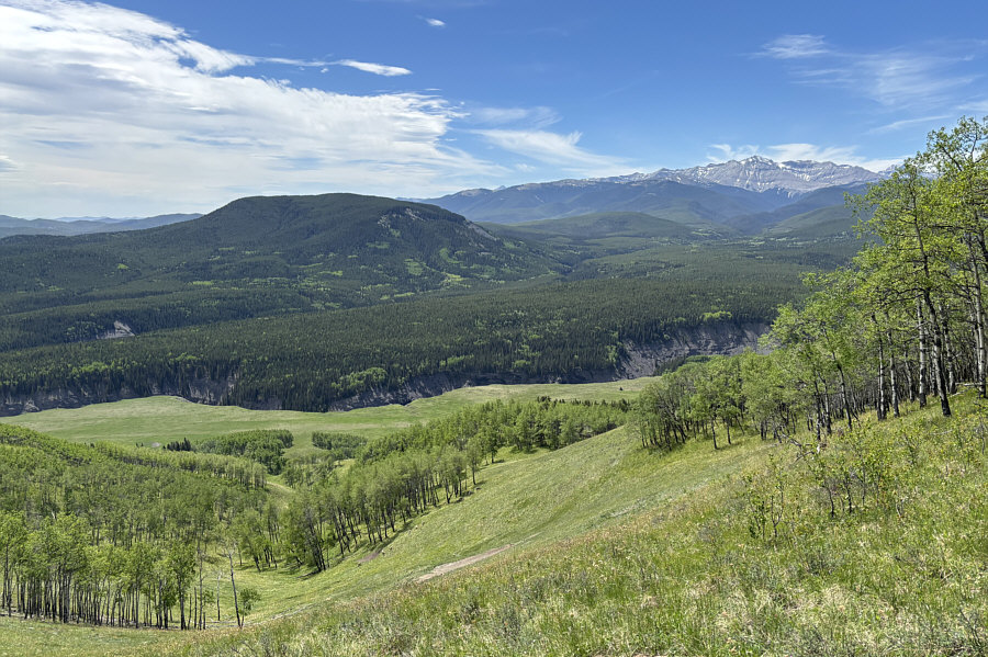
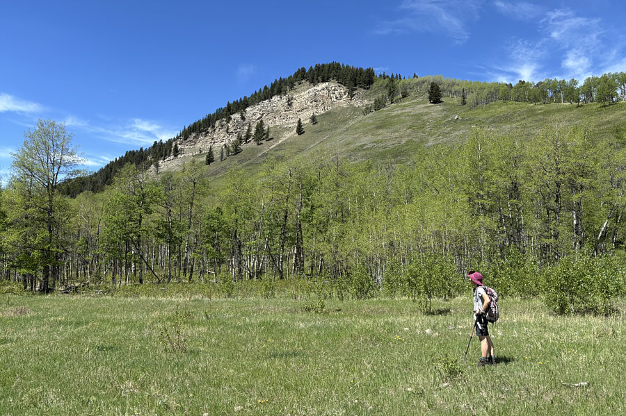
Zosia starts the hike from an interpretive pullout (Nash Meadow) beside the highway. The "Missinglink Cliffs" are visible above the aspen trees. |
|
|
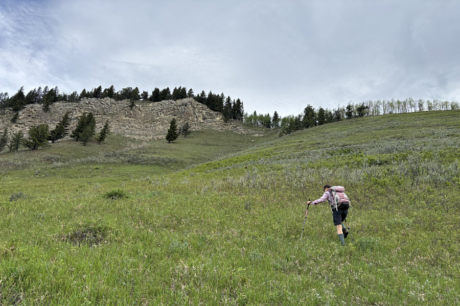
The initial climb up to the cliffs is brutally steep. |
|
|
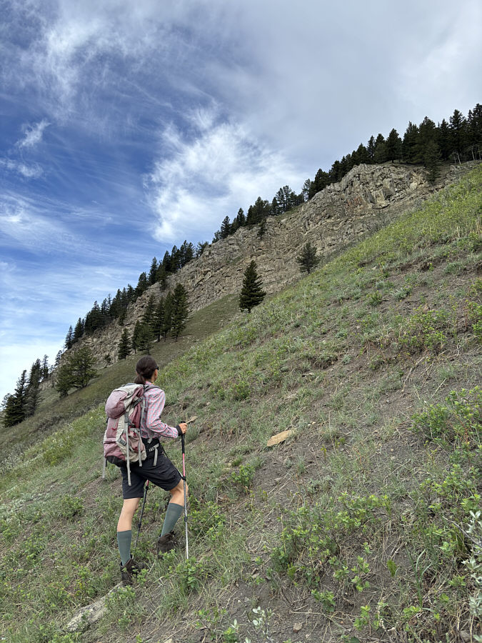
Zosia spots something above the cliffs. |
|
|
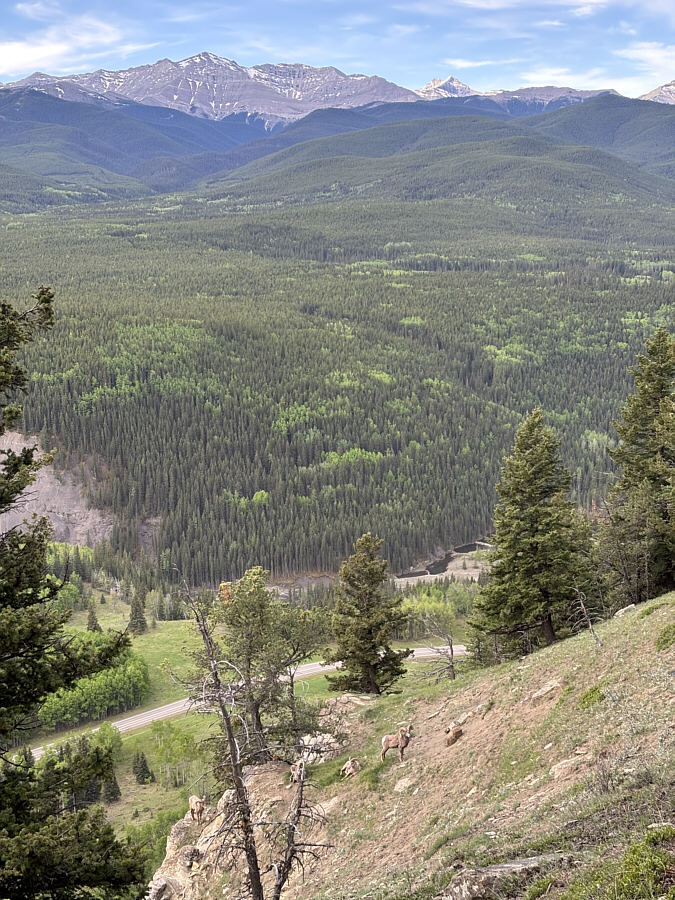
Four bighorn sheep appear surprised at the presence of intruders into their territory. On the left horizon is Junction Mountain. |
|
|
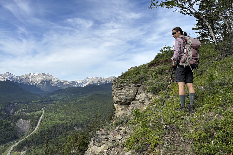
Zosia marvels at a canyon through which Sheep River flows. |
|
|
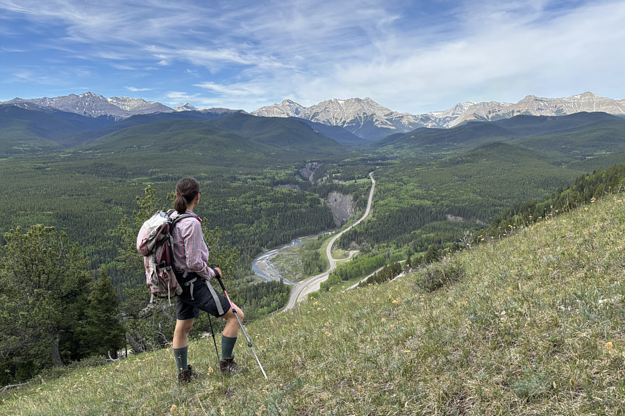
Zosia peers over the edge of the cliffs one last time before heading into the forest. |
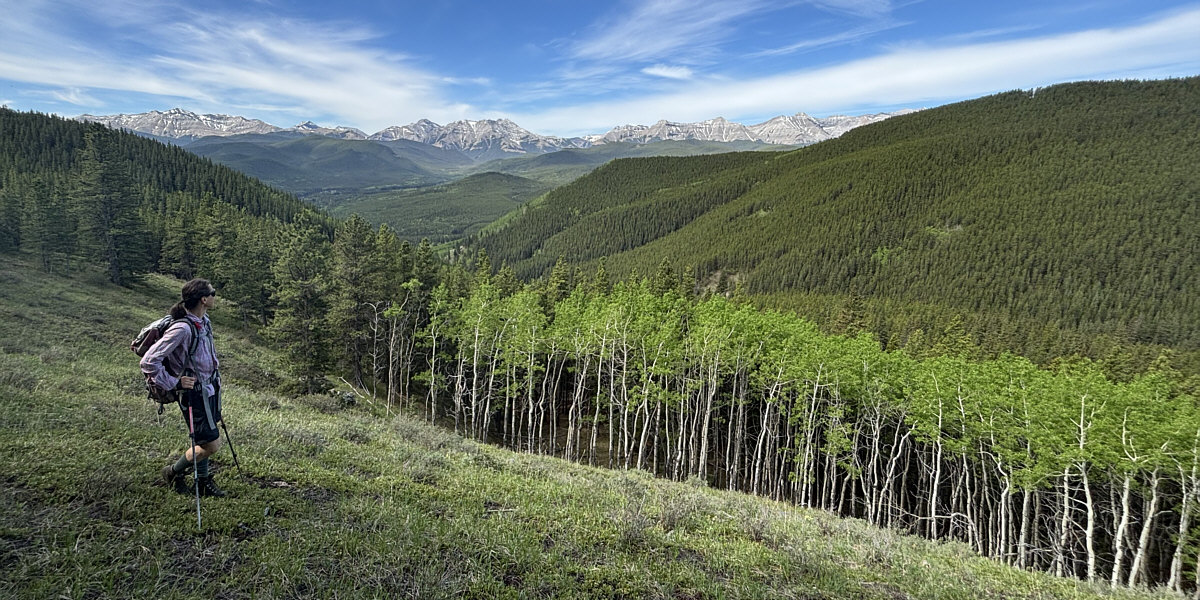
A clearing further north along the ridge grants far-reaching views similar to those from the cliffs.
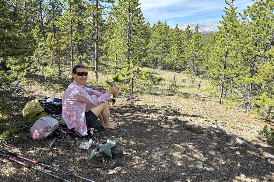 |
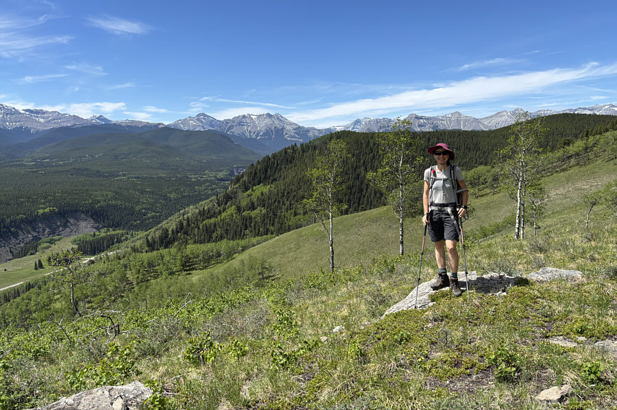
Zosia stops for a break not far from the highest point (1831 metres) reached for the day. |
 |
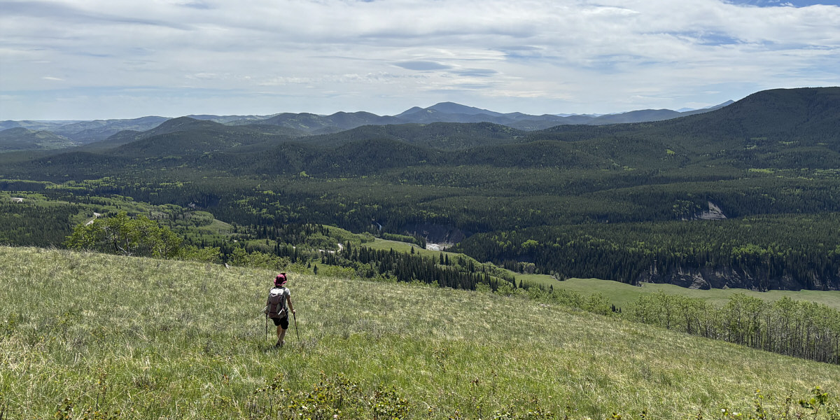
Another herd of sheep can be seen near the trees at bottom left in this view from the southeast ridge of Missinglink Mountain. The forested hump across the valley is Green Mountain. |
 |
Behind Zosia is the ridge that she ascended earlier in the day. |
Zosia descends an open slope near the end of the southeast ridge. The most prominent bump on the centre horizon is Blue Ridge.
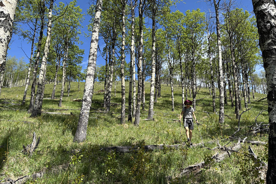 |
Zosia steps over some fallen trees on her way down this forested slope. |
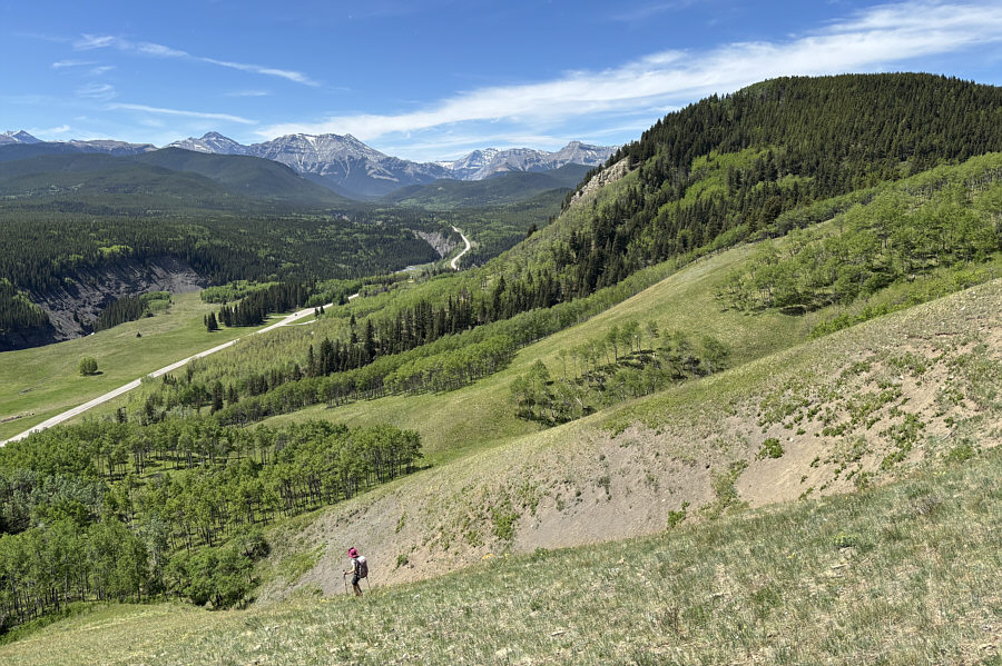 |
The cliffs are visible again (right of centre) as Zosia drops down a very steep grassy rib. |
 |
Here is a last look at Missinglink Cliffs from the bottom. |
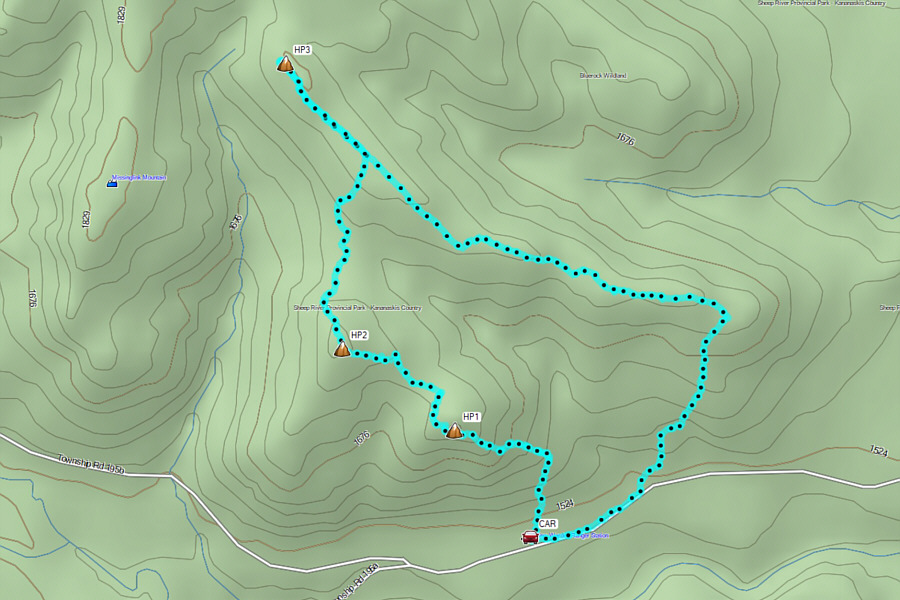 |
Total Distance: 7.5 kilometres Round-Trip Time: 4 hours 4 minutes Cumulative Elevation Gain: 373 metres |