BOU AVENUE
Ridge 636167 And Observer's Hill (Hill 618163)

Anticipating some afternoon rain in the weather forecast, Zosia Zgolak and I opted for a non-committing hike to a couple of low forested bumps--Ridge 636167 and Hill 618163 (or "Observer's Hill" as coined by Bob Spirko)--in the vicinity of Gorge Creek in Alberta's Kananaskis Country Public Land Use Zone on 14 June 2025.  Both objectives are described in Gillean Daffern's Kananaskis Country Trail Guide, but we drew most of our inspiration from a pair of trip reports by Spirko (Ridge 636167; Observer's Hill).  Given the close proximity of the objectives and the shortness of the ascents, it made sense to combine both into a single loop, and by doing the hike in a counter-clockwise direction, we would get more of the harder off-trail travel and route-finding out of the way earlier.

Starting from Gorge Creek trailhead parking lot (50.66915, -114.68057), Zosia and I walked northward to a gate at the south end of the decommissioned section of Gorge Creek Road.  I had driven this section of road many years ago before it was closed in 2005, and it was interesting to see how a previously full gravel road had now turned into a grassy jeep track.  After walking uphill past the gate for about 390 metres, we left the road and crossed a small clearing to the west before hopping over a small drainage and entering forest.  We followed a faint cattle/game trail for a short distance but soon abandoned it to climb onto a minor ridge to the southeast of Ridge 636167.  Despite the lack of views throughout much of the ascent up Ridge 636167, travel was generally easy, and we had few difficulties in reaching a semi-open escarpment with far-reaching views near the top.
Szczenięta lisa czekają na mamę. 
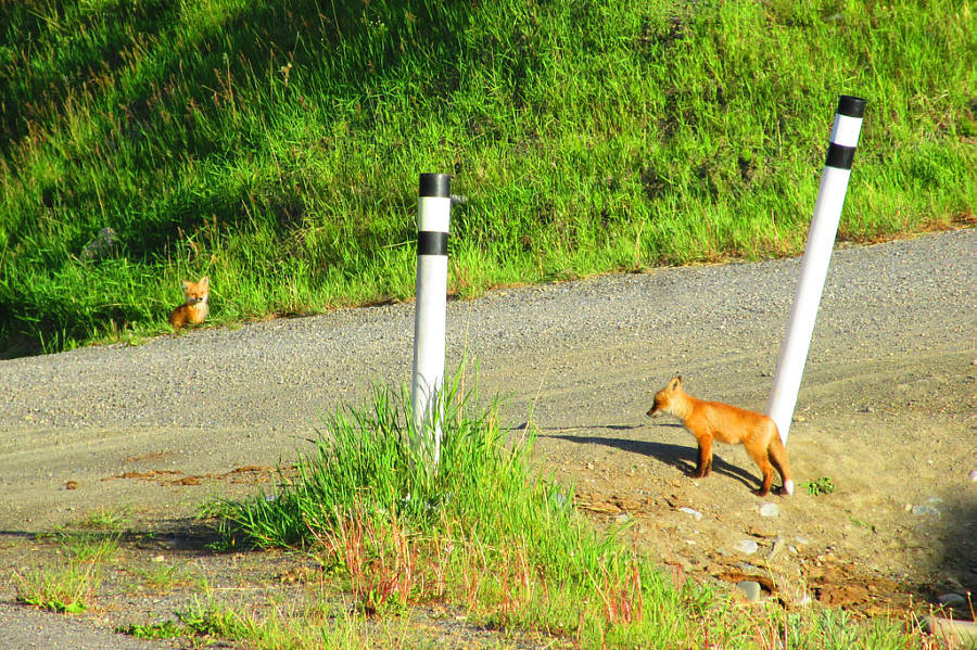
A couple of fox pups hang out at the turnoff from Highway 546 to Gorge Creek Road.

Photo courtesy of Zosia Zgolak

It's interesting to see how much of the road has been reclaimed 20 years after it was closed. 
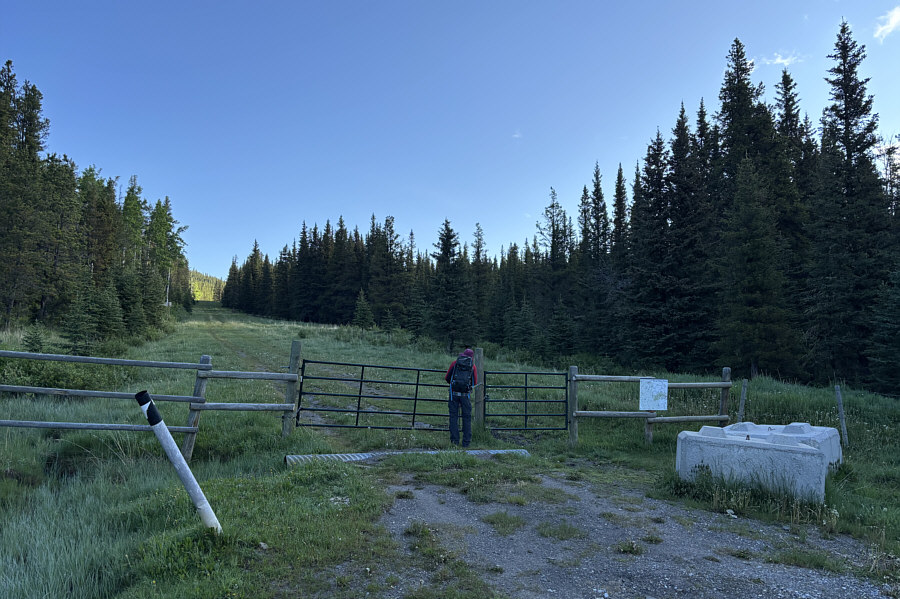
Zosia is about to pass a locked gate at the southern end of the decommissioned section of Gorge Creek Road.
The ridge doesn't look like much from here...and it really isn't! 
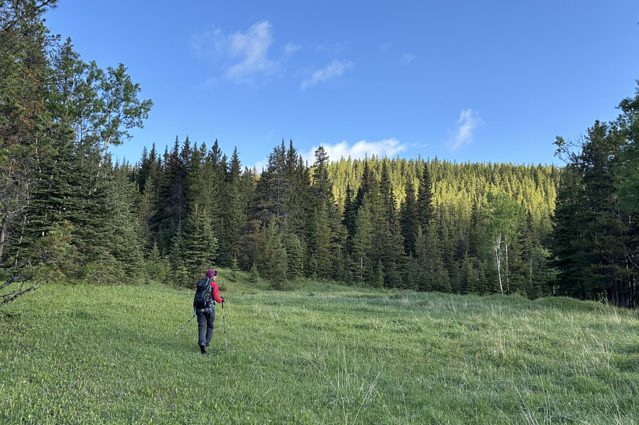
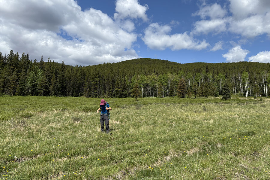
Zosia leaves the reclaimed road at this clearing and heads toward Ridge 636167 which is bathed in sunlight in the background.
We're actually climbing a subsidiary bump southeast of Ridge 636167. 
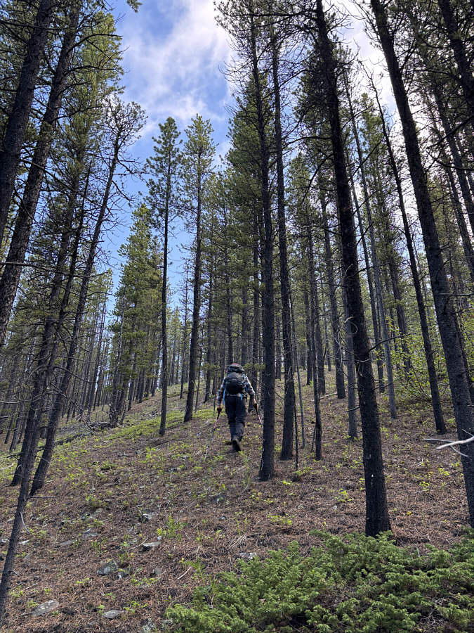
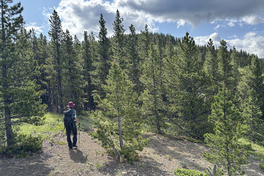
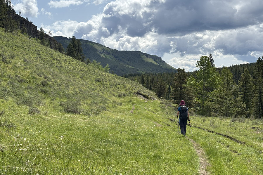
Off-trail hiking is not too difficult here.
At least the ascent was short! 
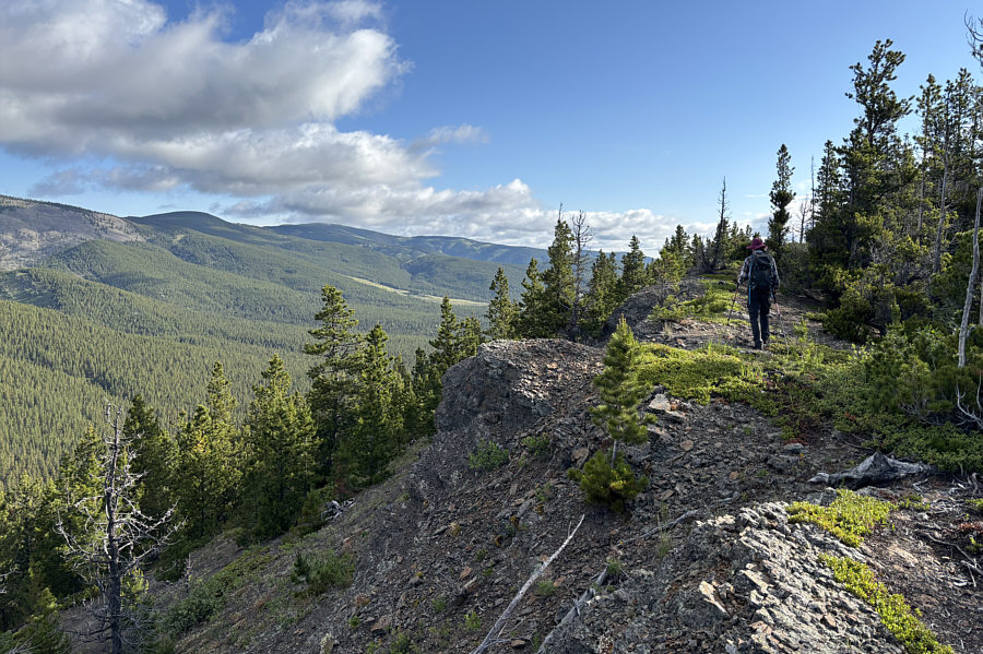
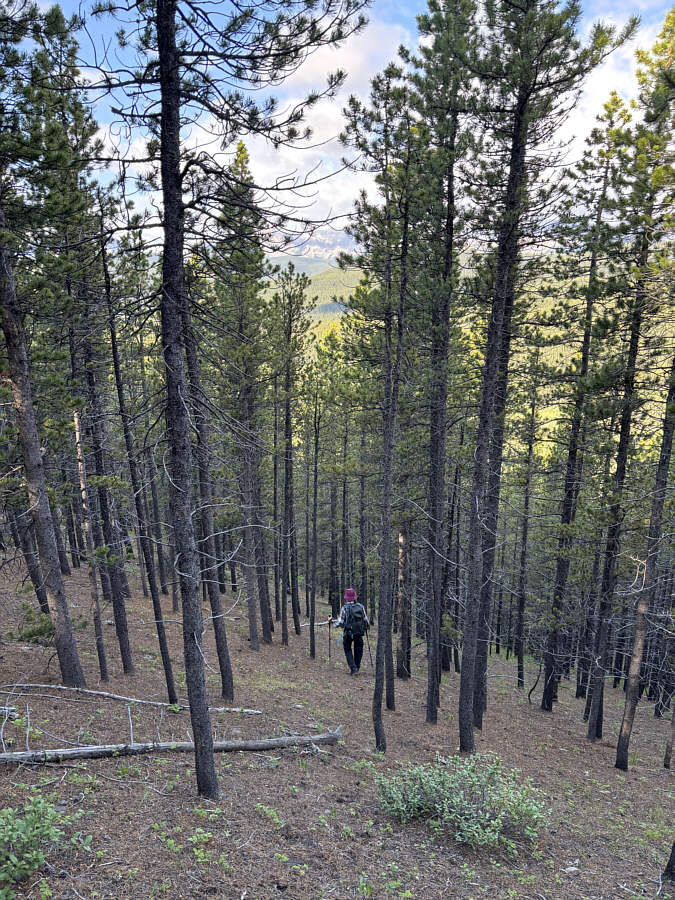
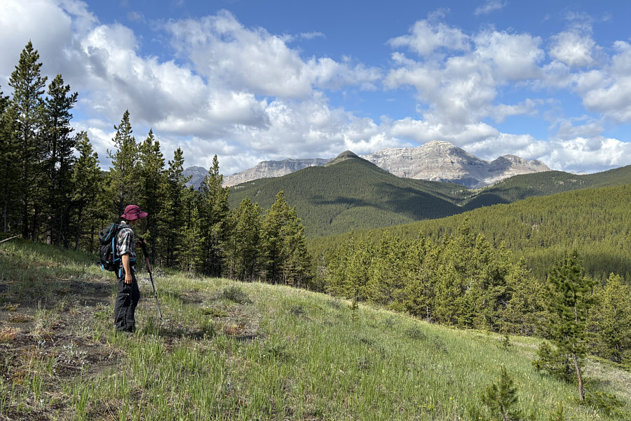
After ascending mostly through viewless forest, Zosia finally breaks out of the trees onto a semi-open escarpment.
Hmmm...what possessed Gillean Daffern to even consider hiking up Observer's Hill? 
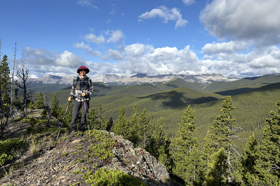
Zosia stands on the high point of Ridge 636167 (1818 metres).  The forested bump with the cloudy shadow just right of centre is Observer's Hill.
 

Not bad views for such a lowly ridge.

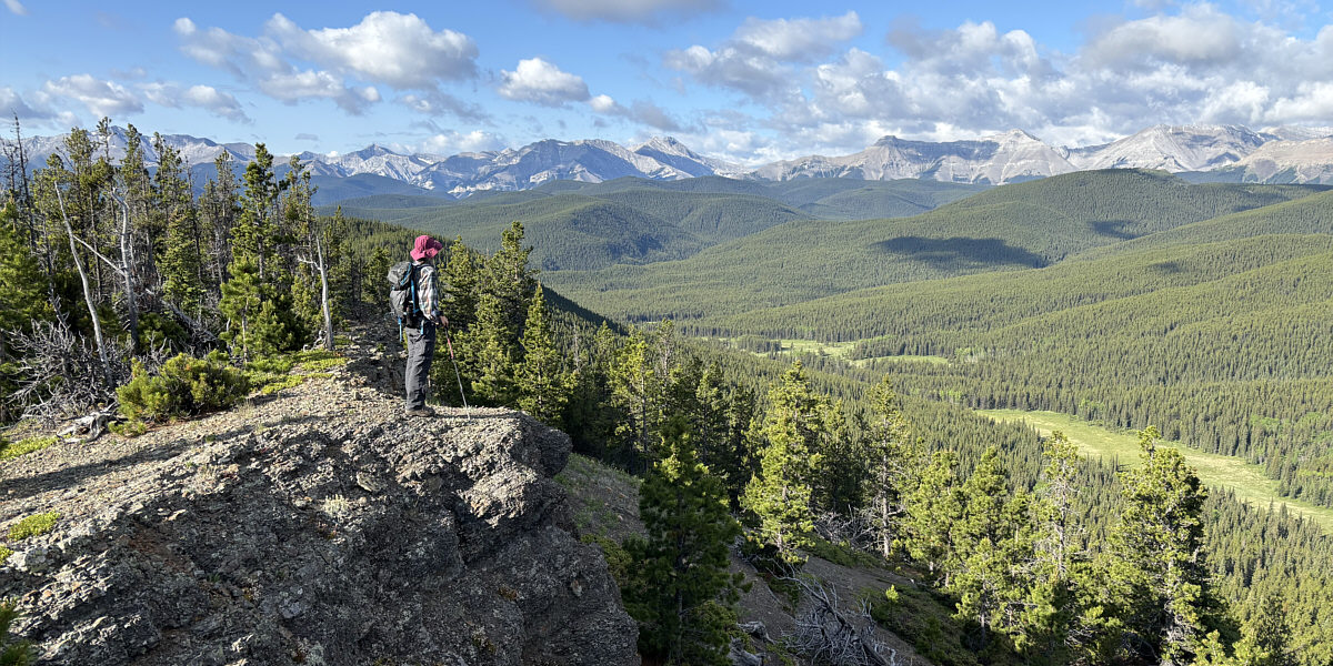
Zosia enjoys the view to the southwest from Ridge 636167.


After tagging the high point of Ridge 636167, Zosia and I backtracked a little to the south before plunging down steep west-facing slopes into the valley below.  Off-trail travel was again easy until we reached the valley bottom where we had to tiptoe across marshy flats.  Fortunately, our feet did not get terribly wet, and we soon intersected the official Gorge Ware Connector trail.  Turning left, we hiked south until we reached a signed junction with Volcano South trail.  We then turned right and headed northwest along Volcano South trail for about 1.2 kilometres before leaving it to bushwhack up the north side of Observer's Hill.  As before, off-trail travel was easy, and we even passed a couple of scenic clearings on the way to the top.  Ironically, there is very little to see from the actual high point of Observer's Hill which is completely covered by trees.  As such, we retreated to one of the clearings we had passed to stop for a relaxing break.

When we resumed hiking, Zosia and I hiked back over the top of Observer's Hill and then descended easy slopes to the southeast.  Partway down, we picked up a nice game trail which we were able to follow most of the way to the valley bottom.  There, we once again intersected Gorge Ware Connector trail, and turning right, we followed this all the way past the junction with Gorge Creek trail and back to the trailhead without difficulty.
Could almost ski this...almost. Zosia descends the steep west slopes of Ridge 636167.
Why are these open areas always wet? 
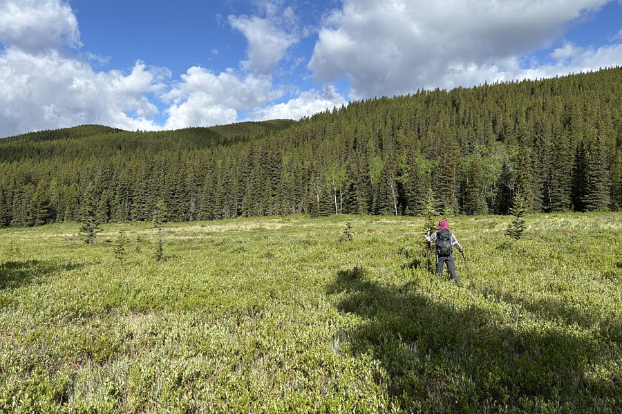
In the valley southwest of Ridge 636167, Zosia tiptoes through marshy flats.
Proof once again that Zosia is an antler magnet! 
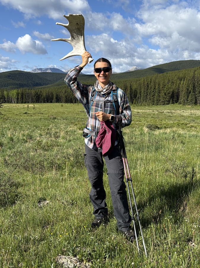
Zosia finds a moose antler in the flats.
Two roads diverged in a yellow wood... 
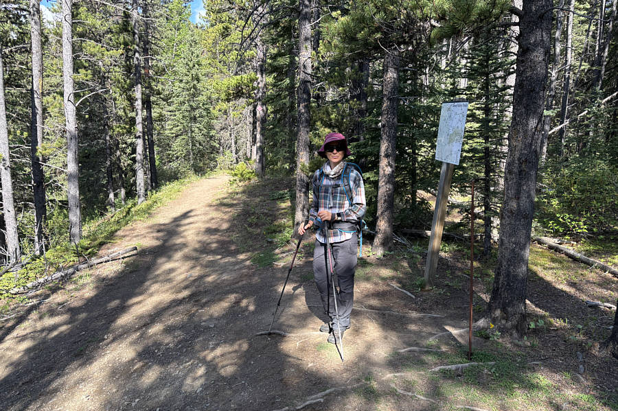
Zosia reaches the junction between Gorge Ware Connector and Volcano South trails.
Why are we leaving the trail again? 
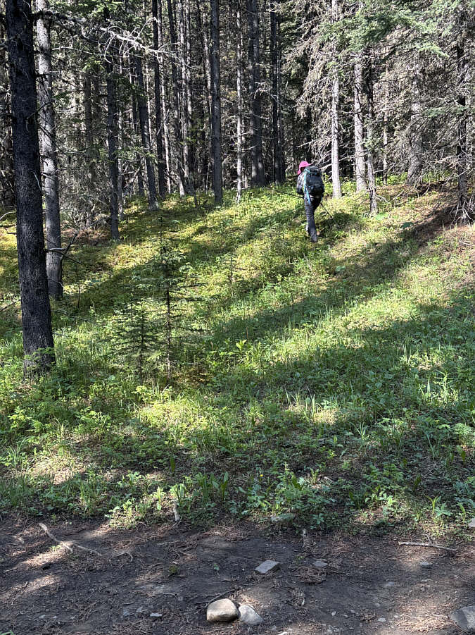
Zosia leaves Volcano South trail and heads up a forested slope.
I should re-visit Mount Ware one of these days... In a clearing on the way up Observer's Hill, Zosia gets a good view of Mount Ware and Bluerock Mountain.
Almost there! Zosia makes her way toward the top of Observer's Hill which can be seen just ahead.
Loggers need to come clear-cut this hill! 
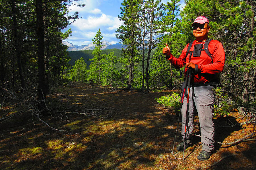
Sonny stands near the forested high point of Observer's Hill (1844 metres).

Photo courtesy of Zosia Zgolak

Another potential ski slope in winter? 
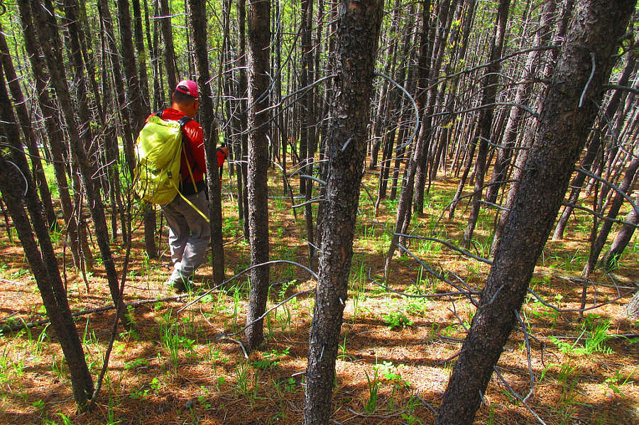
Sonny descends a forested slope on the southeast side of Observer's Hill.

Photo courtesy of Zosia Zgolak

No more bushwhacking from here...yay! Zosia regains Gorge Ware Connector trail in the valley.  Observer's Hill is the forested bump behind her.
Annoyingly, there are still a few uphill sections to come! The south ridge of Missinglink Mountain can be seen in the distance as Zosia hikes out the valley.
This trip is probably better suited for late November when hiking options are limited. 
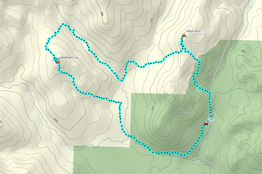
Total Distance:  10.3 kilometres
Round-Trip Time:  4 hours 35 minutes
Cumulative Elevation Gain:  452 metres

GPX Data