|
|
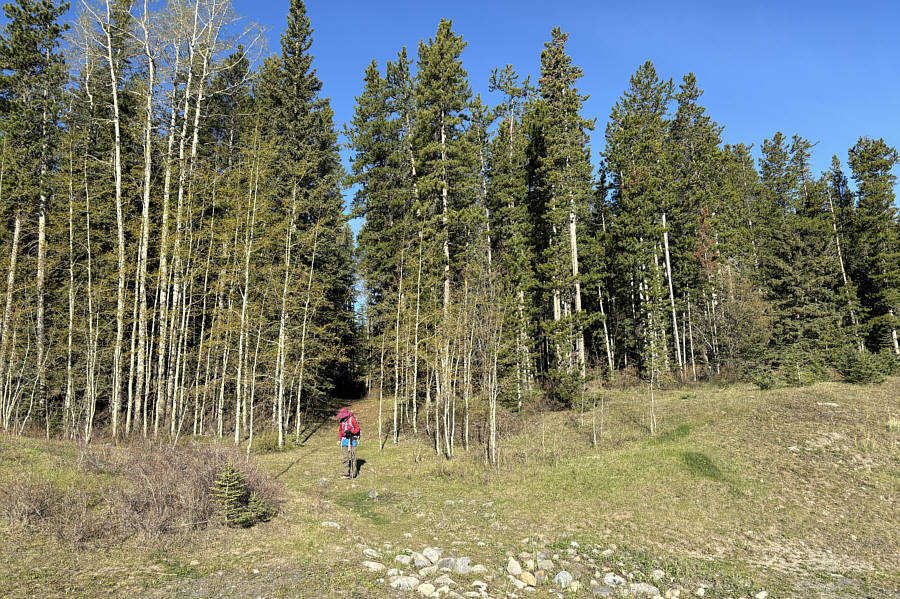
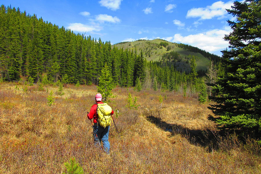
The trailhead at the Forestry Trunk Road is no longer signed, but the start of the trail is still obvious. |
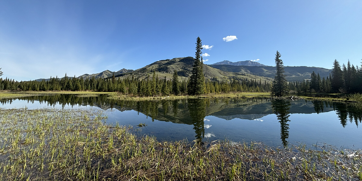
Junction Hill is reflected in one of several beaver ponds alongside the trail.
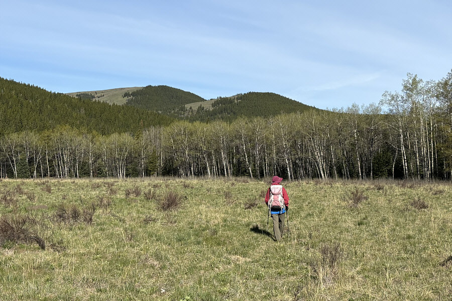 |
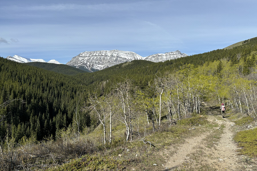
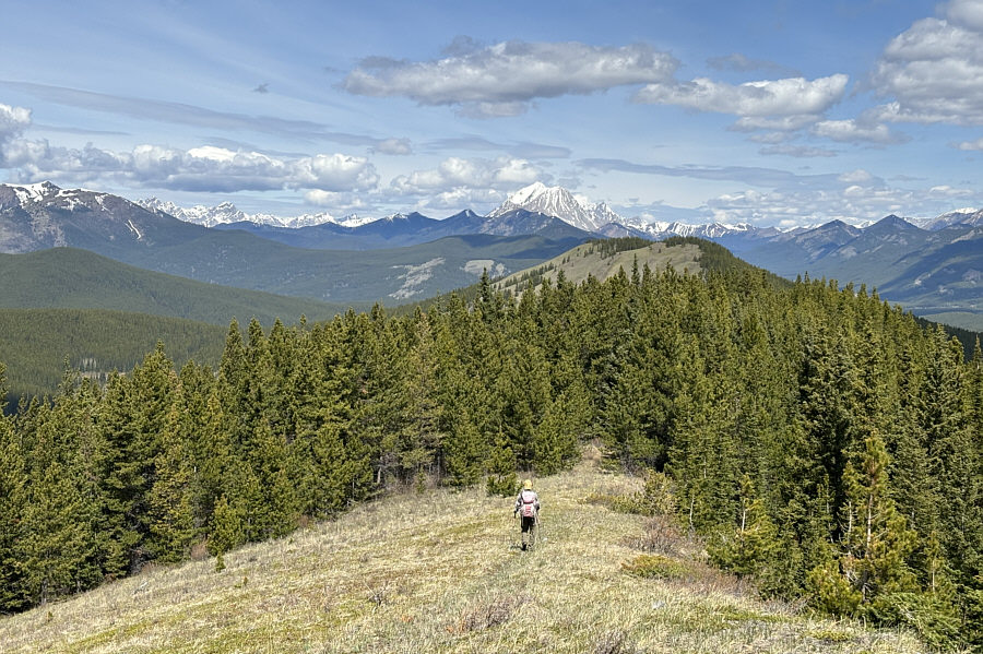
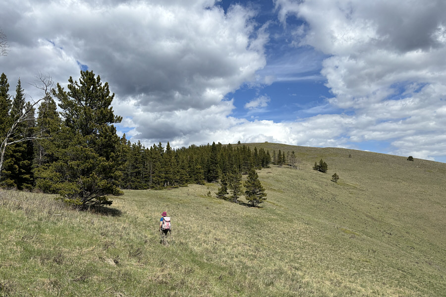
In a big meadow, Zosia gets her first glimpse of a couple of the lower Strawberry Hills. She would ultimately tag the subsidiary bump (HP3) at left later in the day. |
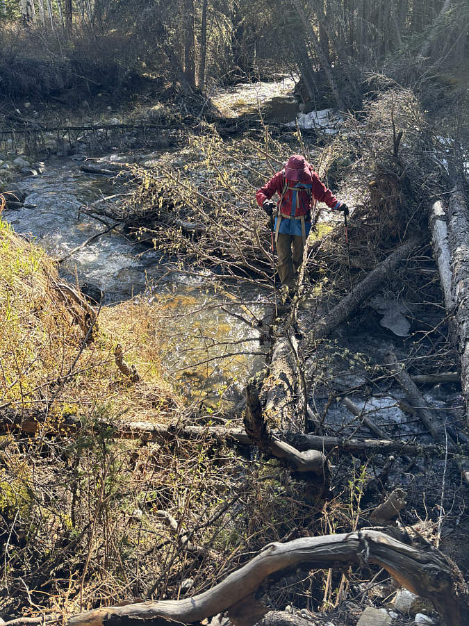 |
Zosia carefully crosses Fitzsimmons Creek on a downed tree. |
 |
Zosia hikes westward on a road along the north bank of Fitzsimmons Creek. |
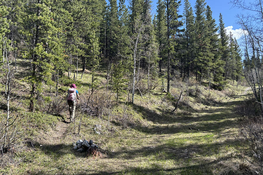 |
Zosia turns off the road onto a good trail marked by a cairn. |
 |
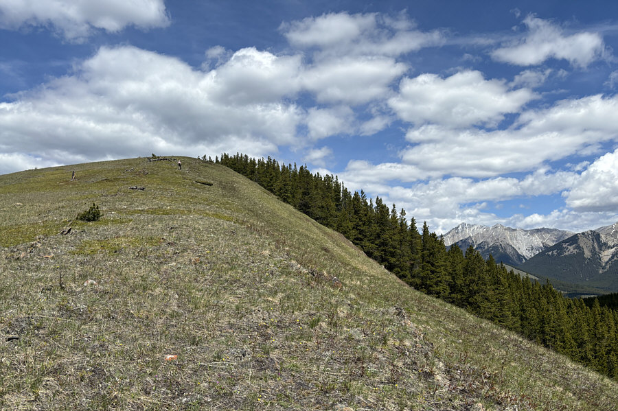
Zosia climbs up the south ridge of Daffern's "south hill". |
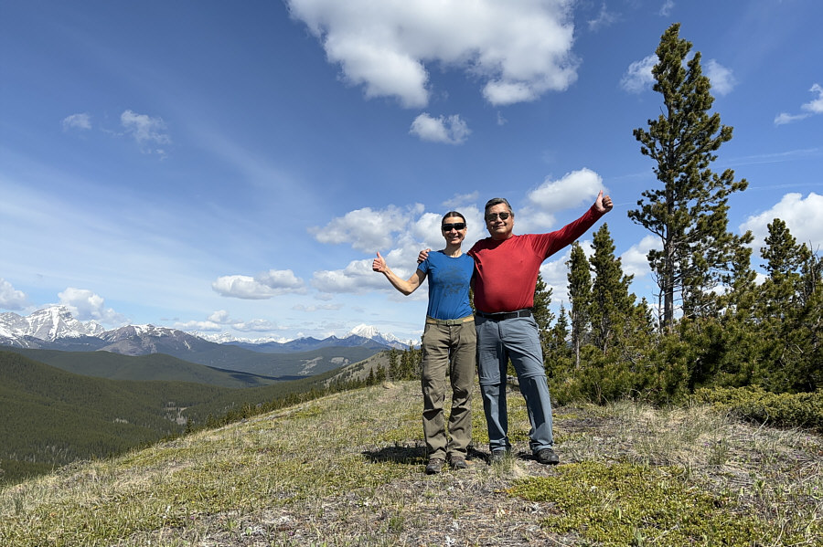 |
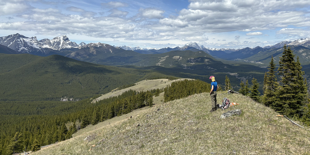
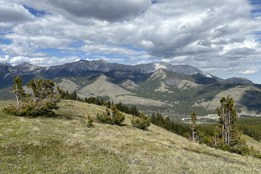
Zosia and Sonny stand on the high point (HP1) of south hill (1965 metres). |
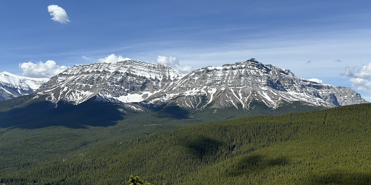
Mount Armstrong (left) and Mount Maclaren (right) dominate the view to the southwest.
The forested ridge across the valley to the northwest is the seldom-visited "west hill".
Zosia and I stopped only briefly on the high point of south hill before continuing northward on a trail which eventually drops into a basin at the headwaters of Strawberry Creek. In the basin, the trail takes a rather circuitous route around a grassy marsh before actually crossing Strawberry Creek, but feeling impatient, we took an ill-advised short cut which entailed some anxious tiptoeing through the marsh followed by a short stretch of unpleasant bushwhacking. On the far side of the creek, we quickly abandoned the trail and headed straight up open slopes at the south end of north hill, and the subsequent climb was strenuous but not complicated. Since the actual high point is partially surrounded by trees, we continued further north for another 300 metres or so to a better panoramic viewpoint where we finally stopped for an extended break.
 |
The top of "north hill" can be seen beyond the trees at the north end of south hill. |
 |
Sonny makes his way across a grassy
marsh aiming for north hill in the background. Photo courtesy of Zosia Zgolak |
 |
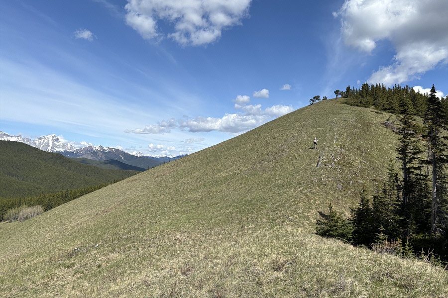
Zosia climbs up the south ridge of north hill. |
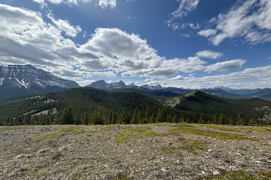
Zosia enjoys the panoramic view to the northwest from north hill.
When we resumed hiking, Zosia and I retreated back over north hill and into the basin where we again picked up the trail that detours around the marsh. This time, we stuck to the trail, but doing so annoyingly added some extra elevation gain and loss. The re-ascent of south hill felt especially long and wearisome, and we felt some measure of relief when we finally passed its high point again. Instead of descending the way we climbed up south hill, we dropped down to the east and traversed to the aforementioned subsidiary bump. Despite being lower than the other two high points we had already visited, the high point on the subsidiary bump turned out to be the most scenic of the bunch with unobstructed views in every direction.
From the top of the subsidiary bump, Zosia and continued eastward and went over another minor hump before descending steeply into Fitzsimmons Creek valley. Off-trail travel was generally easy here, and we had no problems finding our way back to the road. The remaining hike out along familiar ground was straightforward, but the last forested section between the beaver ponds and the trailhead definitely felt like it would never end.
 |
Sonny checks his phone's GPS
to confirm that this is the high point (HP2) of north
hill (1973 metres). Photo courtesy of Zosia Zgolak |
 |
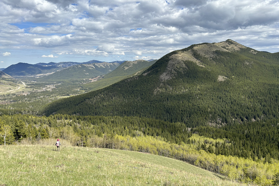
Sonny descends the south end of north
hill with south hill visible ahead. At left in shadow is HP3
which was seen earlier in the day from the big meadow south of
Fitzsimmons Creek. Photo courtesy of Zosia Zgolak |
 |
Zosia traverses the connecting ridge from south hill to HP3. |
 |
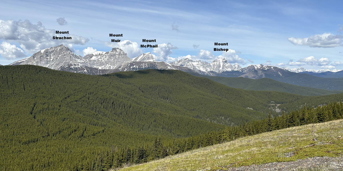
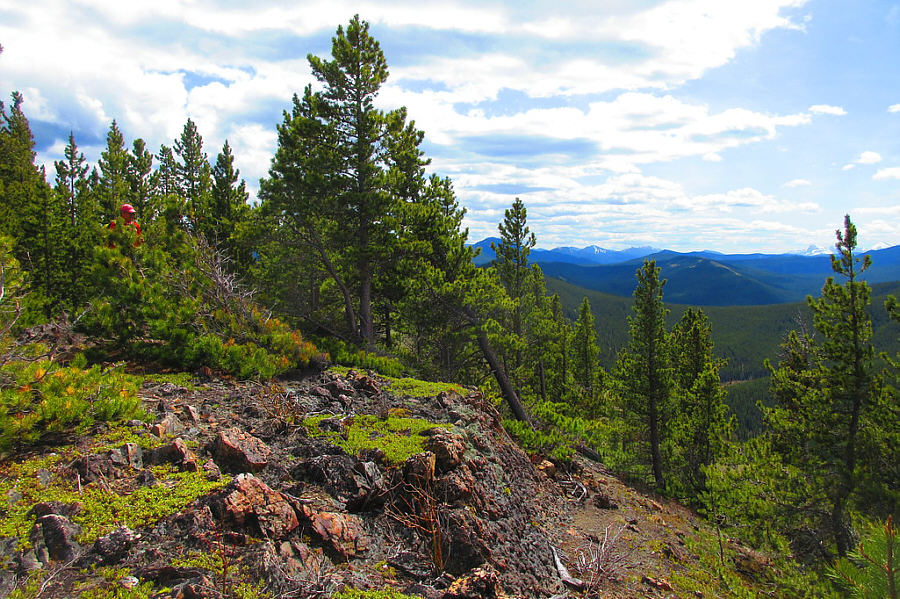
Here is the view from HP3 of Mount Head and Holy Cross Mountain to the northeast. Also visible at far right is Gunnery Mountain. |
 |
This is looking back at south hill and north hill from HP3. |
 |
Sonny tries to take a cat nap on HP3. Photo courtesy of Zosia Zgolak |
 |
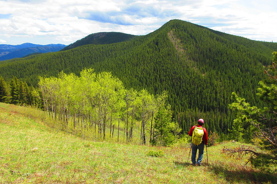
Zosia has a great view of the highest of the Coyote Hills (right) as she descends into the valley. |
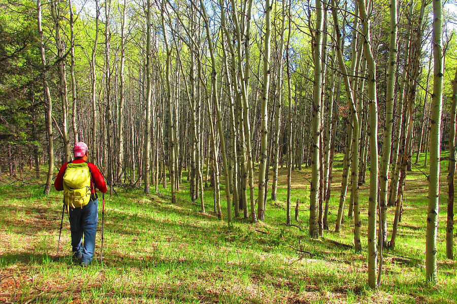 |
Sonny passes a stand of aspen trees on
his way back to the road along Fitzsimmons Creek. Photo courtesy of Zosia Zgolak |
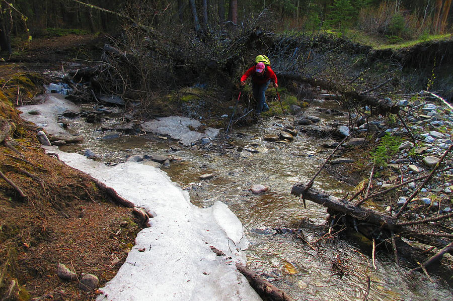 |
Sonny makes his way across Fitzsimmons
Creek for a second time on this day. Photo courtesy of Zosia Zgolak |
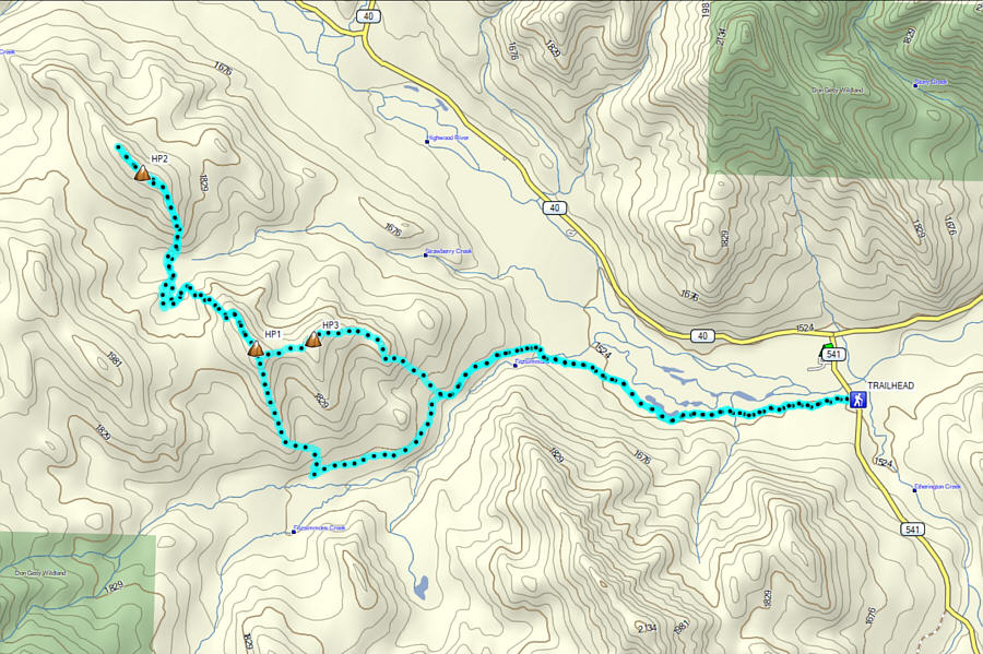 |
Total Distance: 21.2 kilometres Round-Trip Time: 10 hours 15 minutes Cumulative Elevation Gain: 916 metres |