BOU AVENUE
Tryst Lake
With both of us taking advantage of a day off from work on 29 September 2025, Zosia Zgolak and I accompanied Teresa Kosmala for a hike to Tryst Lake in Alberta's Spray Valley Provincial Park.  Although Zosia and I had both skied to the lake in the spring of 2019, this would be my second time hiking there during larch season.  It is astonishing to consider that back in the fall of 2004, my party did not see another soul throughout our entire hike.  Nowadays, Tryst Lake has become one of the most popular larch-viewing destinations largely because it is so easy to access especially for mothers with babies!  Sure enough, the parking lot was full when we arrived at the trailhead (50.83880, -115.35103), and cars were parked well past the turnoff from Mount Shark Road.  All we could do was shrug and count our blessings that we were able to find a reasonable spot to park that was not too far from the trailhead.

Except for a lone hiker heading back to the trailhead, Teresa, Zosia and I surprisingly did not see anybody else on the 1.8-kilometre approach to the Tryst Lake turnoff which is marked by a cairn.  Even the trail going up to the lake was relatively quiet as we passed two women with two very young infants and an older group of five.  Only when we got close to the lake did we see more people but not as many as we were expecting given the numerous cars at the trailhead.  The water level was significantly lower than in 2004, and I wonder if the lake will eventually dry up in subsequent years if precipitation remains low.  After stopping for some requisite photographs, we circled around the northern shore and then followed a beaten path up to a basin beyond the west end of the lake.  Probably because there is no body of water here, few hikers bother to continue to the basin, but that suited us just fine as we stopped to enjoy some solitude and close-up views of The Fist.

When we had our fill of snacks and larches, Teresa, Zosia and I retraced our steps back to the lake and out the same trail without incident.  Again, we encountered a couple other parties on the way out, but overall, the hike was not the crowded ordeal we had been dreading.
Sadly, this seems to be the norm now for most popular trailheads in K-Country. 
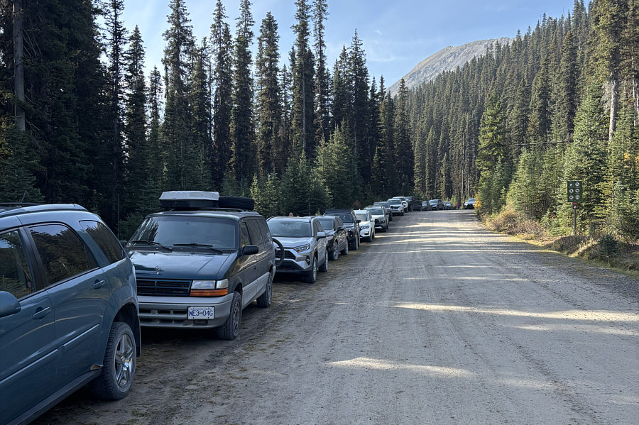
Cars are parked along the road because the trailhead parking lot is already full.
There were two baby carriages left here! 
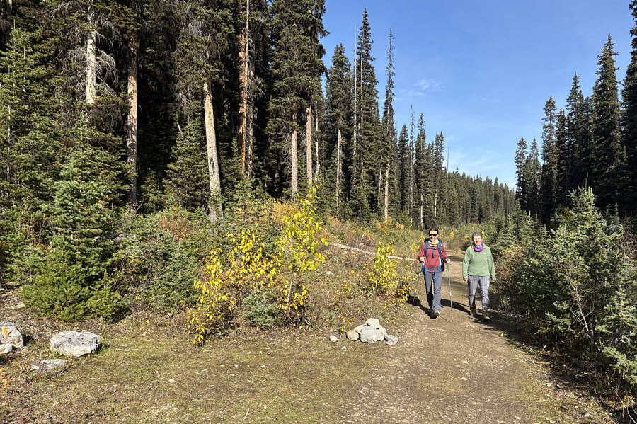
Zosia and Teresa arrive at the turnoff to Tryst Lake.
Always a happy sight! 
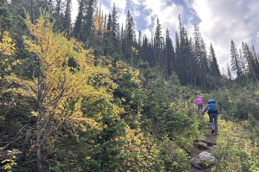
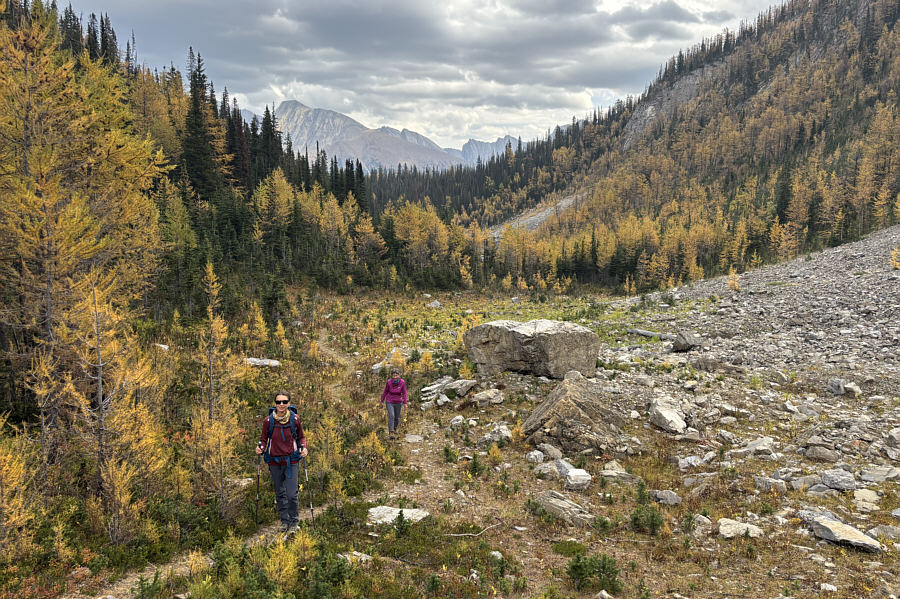
A few larches begin to appear as Teresa and Zosia climb up the drainage leading to Tryst Lake.
Totally forgot about the bet I made with Linda Breton on our way down that mountain! Mount Engadine is visible to the northeast from the upper parts of the drainage.
Looks like the lake might dry up someday soon... 
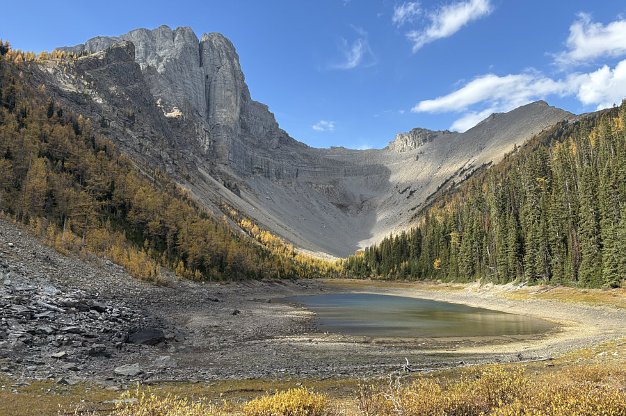
Tryst Lake has far less water on this day compared to the last time Sonny hiked here in the fall of 2004.

Maybe next year, we'll come back and hike the ridge above the lake.

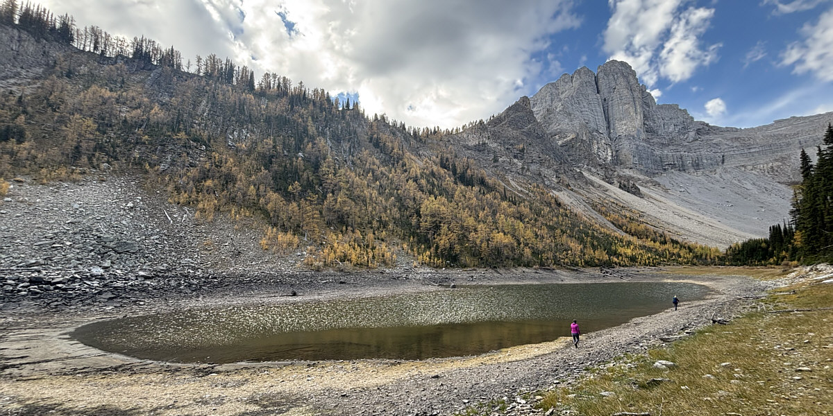
Teresa and Zosia walk around the north side of Tryst Lake.


A rather eventful solo trip for me many years ago! 
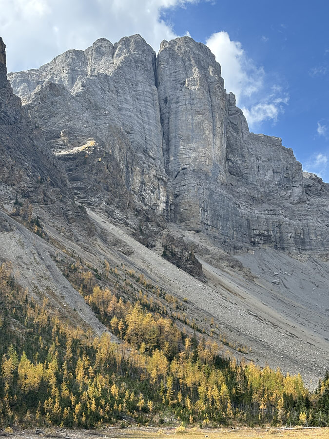
Here is a closer look at the north face of The Fist.
The lake was surprisingly not as busy as I was expecting considering how many cars were at the trailhead. 
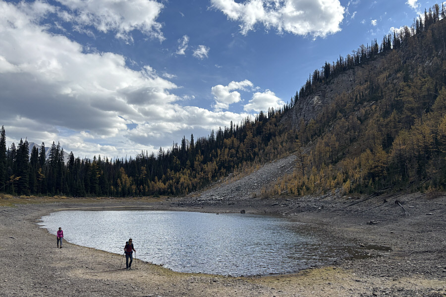
This is looking back at Tryst Lake from its west end.
Don't need to climb a ridge or mountain for stunning views! 
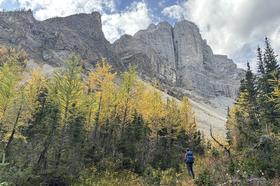
Zosia ascends a corridor through the trees leading to a basin below the north face of The Fist.
Most people stop at the lake and don't bother coming here; it's their loss! Zosia and Teresa follow a beaten path into the basin.
It's hard to see here, but there was a conga line of hikers on Tent Ridge behind us. 
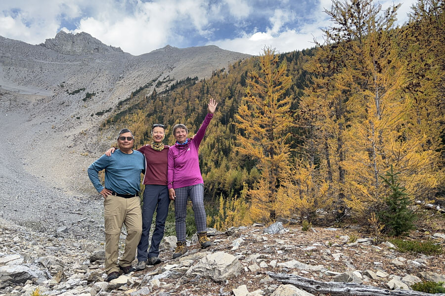
Sonny, Zosia and Teresa stop at a larch-covered knoll (2160 metres) in the basin.
Little Galatea is another good candidate for a future hike... 
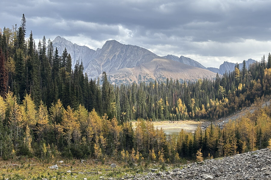
This is looking back at a part of Tryst Lake from the basin.  The pointy peak at far left is Mount Galatea.

I'm not sure if I want to re-visit Tent Ridge when there is a conga line of hikers up there!

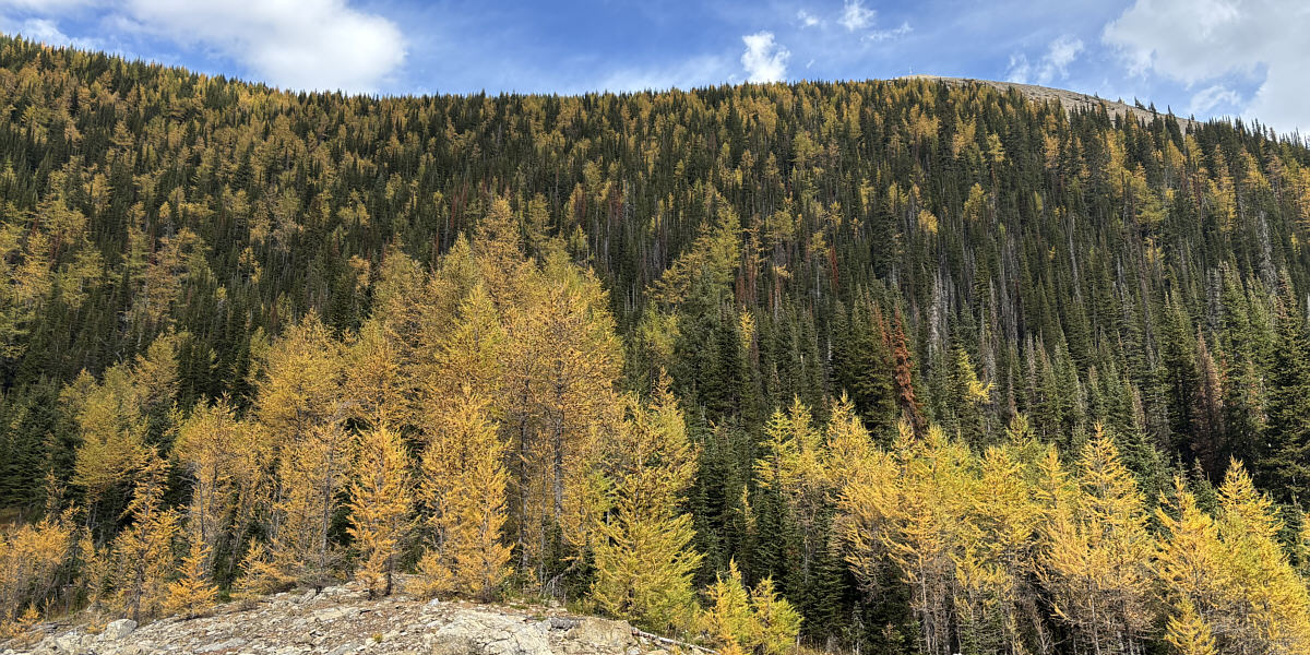
Larches abound on the slopes of Tent Ridge above the knoll.


The smell of strawberries lingered on my fingers long after... 
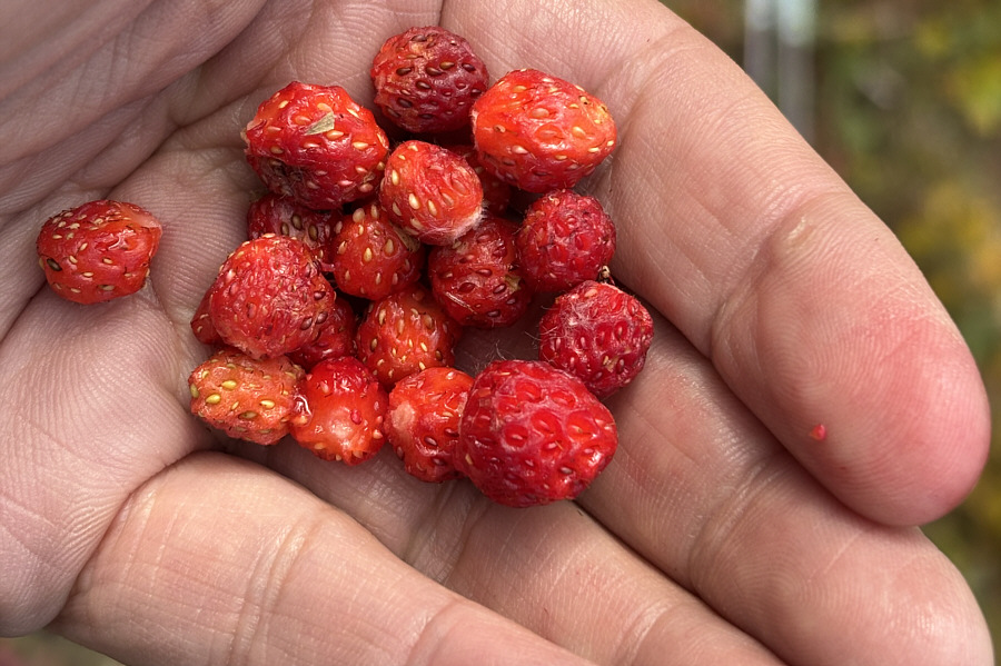
Sonny finds an abundance of wild strawberries in the basin.
A deservedly popular hike especially during larch season. 
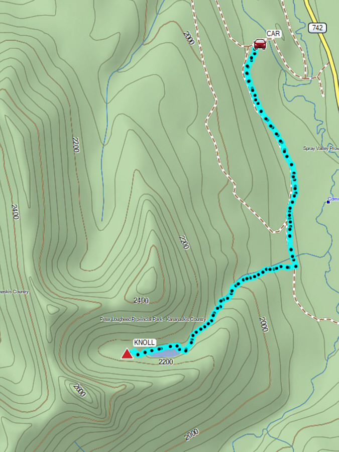
Total Distance:  8.6 kilometres
Round-Trip Time:  4 hours 10 minutes
Cumulative Elevation Gain:  319 metres

GPX Data