Zosia and I started by going through the boundary gate and heading west along a cattle-churned road. After dropping into a dip to hop over a small creek, we climbed up the far side and followed a horseshoe bend in the road. Halfway through the bend, we left the road and turned southward to follow a cattle trail along a logging corridor. About 800 metres further, we entered a large cut block where we turned westward and climbed easy slopes to gain the north end of Chakotoks Ridge. We then followed the ridge crest southward to a subsidiary high point before making a short jog to the west to tag the true high point. Other than having to squeeze through some barbed wire fences, travel along the ridge crest was easy.
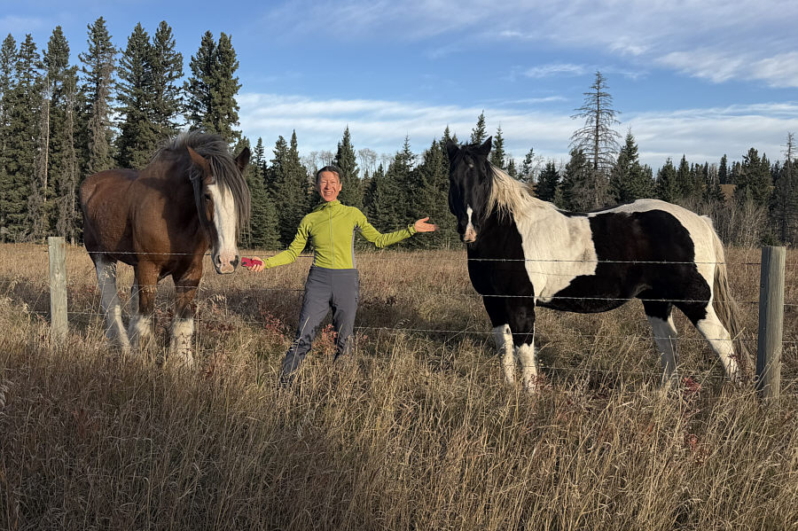 |
Zosia is greeted by a couple of friendly horses during the drive to the trailhead. |
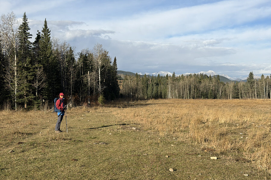 |
Zosia heads westward along a grassy road. |
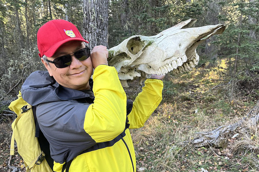 |
Sonny holds up a cattle skull found
along a logging corridor. Photo courtesy of Zosia Zgolak |
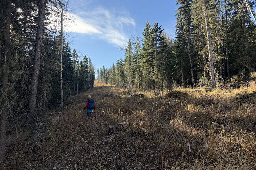 |
Zosia follows the logging corridor southward. |
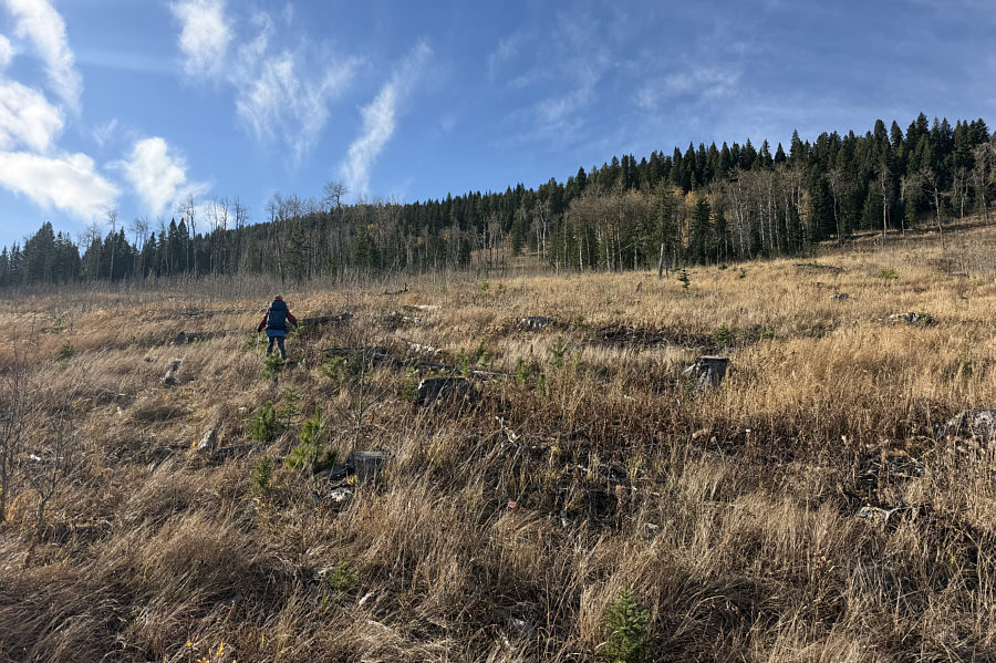 |
Zosia ascends a large cut block to gain the north end of "Chakotoks Ridge". |
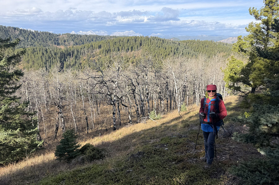 |
The ridge crest is open enough to grant some far-reaching views of mountains to the west. |
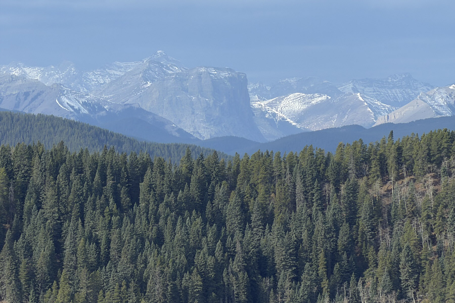 |
Here is a zoomed in view of Gibraltar Mountain's striking east summit. |
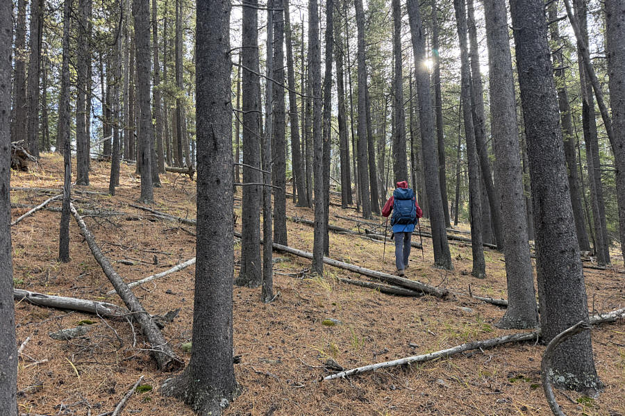 |
Off-trail hiking in this area is mostly like this with only minimal toothpick deadfall. |
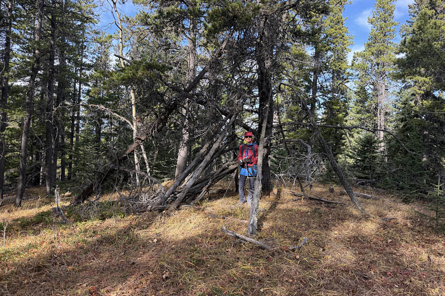 |
Zosia stands inside the remains of a makeshift shelter on a subsidiary high point (1668 metres) of Chakotoks Ridge. |
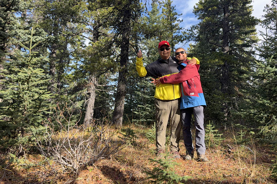 |
Sonny and Zosia stand on the true high point (1671 metres) of Chakotoks Ridge. |
For our return trip, Zosia and I backtracked northward through the previous cut block and then re-crossed Ings Creek. We picked up another road here and followed it through a few more cut blocks before turning onto a cattle trail which goes over a low pass to the east of Chakotoks Ridge. Somewhere near the pass, we veered right to take a parallel trail which led us to a meadow where there was a herd of cattle. The cattle were spooked by our presence and fled north down a wide grassy corridor, coincidentally our intended route for returning to the trailhead. The cattle would periodically stop to resume grazing only to flee again when we caught up to them. Only near the trailhead did the cattle finally move out of our way, and we bid them farewell as we returned to our parked car.
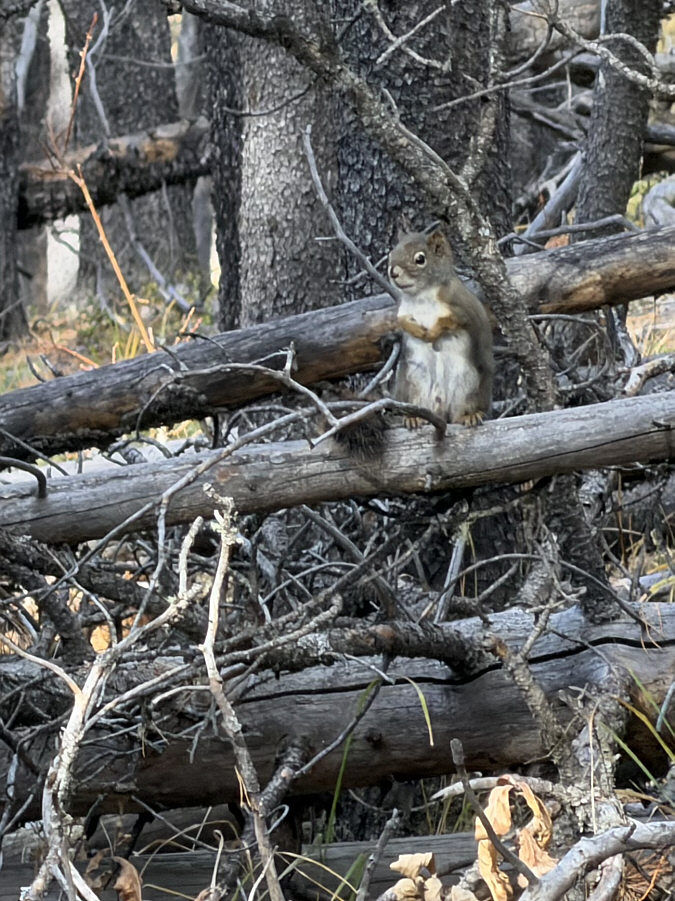 |
A squirrel waits to see if some intruders will offer it Cheezies. |
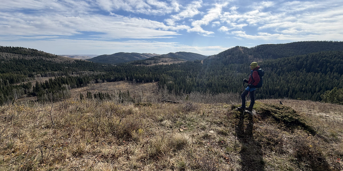
This open section near the south end of Chakotoks Ridge grants views of Whisky Ridge (left of centre), Jim Ridge (centre) and Sam Ridge (right).
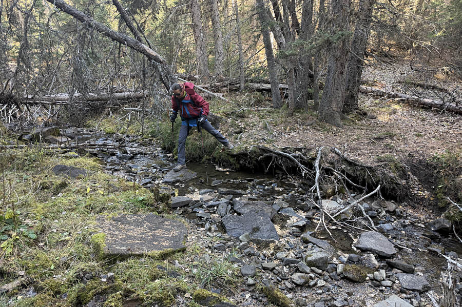 |
En route to an unnamed knoll near the north end of Jim Ridge, Zosia hops over Ings Creek. |
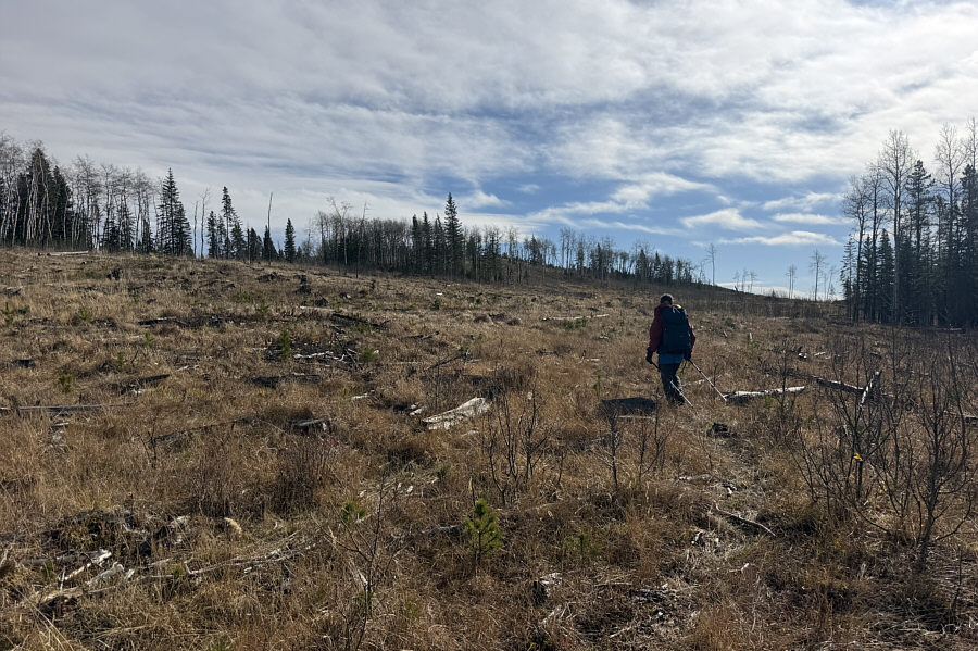 |
Zosia hikes through another cut block to reach the unnamed knoll. |
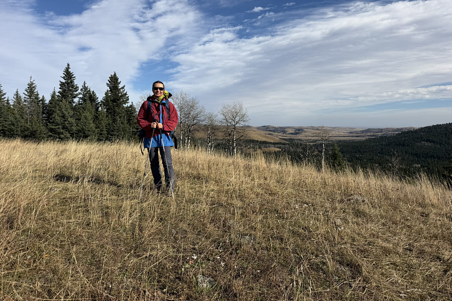 |
Zosia stands atop the unnamed knoll (1539 metres). |
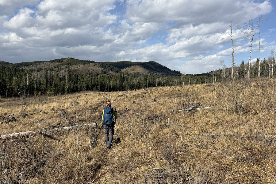 |
For her return trip, Zosia heads northward toward the pass at distant right. At left is Chakotoks Ridge. |
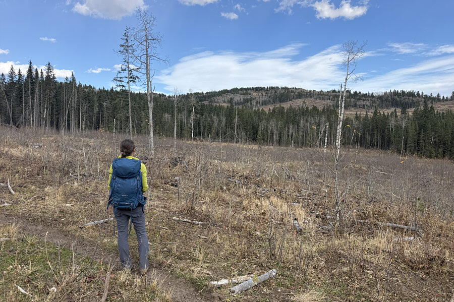 |
Zosia pauses along a cattle trail to take a look at "Okonnel Ridge". |
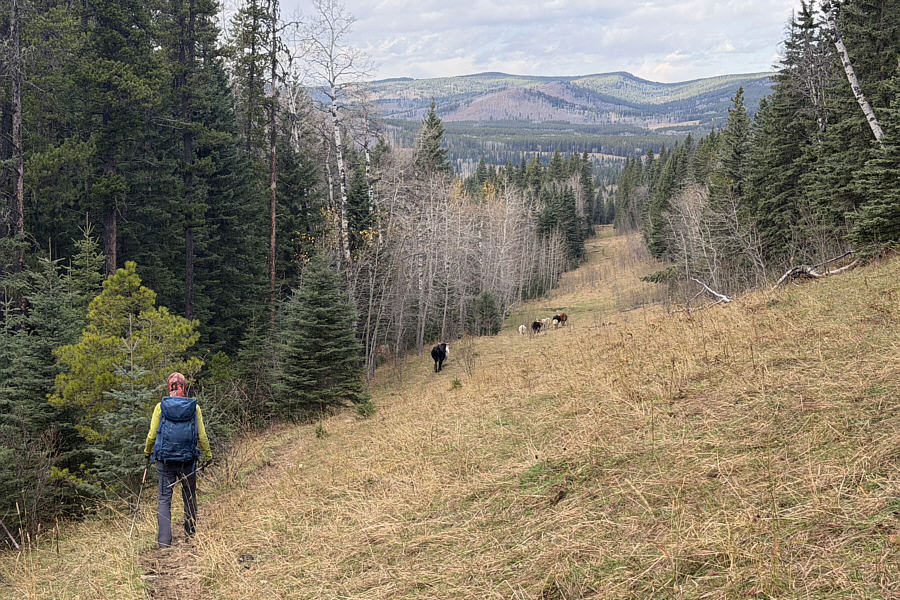 |
Zosia follows a small herd of cattle along a wide grassy corridor which leads back to the trailhead. |
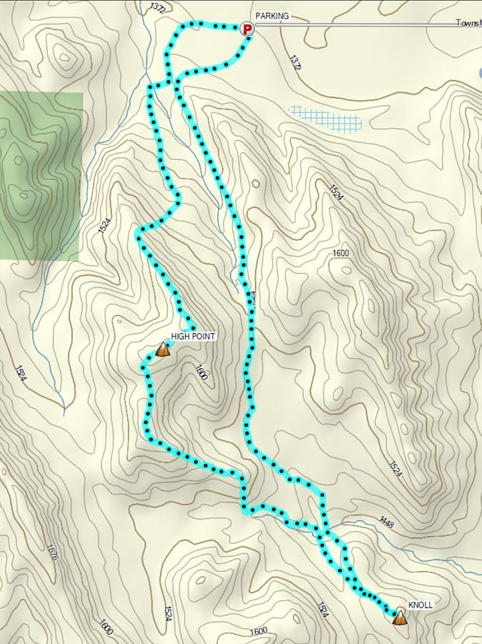 |
Total Distance: 12.4 kilometres Round-Trip Time: 5 hours 56 minutes Cumulative Elevation Gain: 383 metres |