BOU AVENUE
Sam Ridge, Jim Ridge And Whisky Ridge
On 30 April 2022, I led a large group of friends on a strenuous hike up Sam Ridge, Jim Ridge, and Whisky Ridge located in OH Ranch Heritage Rangeland just west of Longview, Alberta.  Although this area is mostly frequented by hunters and cattle, the fact that the ridges are officially-named attracts peak-baggers like myself.  Alison Sekera's 2018 trip report was helpful to me in planning a route to tag the high points of all three ridges.  OH Ranch Heritage Rangeland is public agricultural land which is leased to the nearby OH Ranch, and as such, permission needs to be obtained before setting foot there.  I actually tried to get permission last November, but because it was the height of hunting season then, my request was denied since hunters had already claimed access through a lottery.  This time, I had no issues getting permission from the leaseholder, and she even pointed out where I could park (pullout in front of barbed wire gate on northwest side of Highway 541, 12.1 kilometres west of the junction with Highway 22) to access the area.  Joining me on this hike were Asieh Ghodratabadi, Shaun Luong, Ali Shariat, Aga Sokolowska, Wil Tabak and Zosia Zgolak.

From where we parked, Asieh, Shaun, Ali, Aga, Wil, Zosia and I headed westward past the barbed wire gate and then squeezed through a second barbed wire fence before climbing up a short grassy slope.  We then muddled through some marshy terrain until we intersected a doubletrack which led us to another barbed wire gate.  After going through this second gate, we followed a fence line which runs due west over the south end of Whisky Ridge.  The initial climb here is quite steep, but since we were all still fresh, we powered our way up the slope without too much trouble.  Dropping down the other side, we passed a water trough before bottoming out and then climbing up an obvious cut line going up the south end of Jim Ridge.  This cut line peters out near the crest of the ridge, but we continued westward and dropped down open slopes into the next valley.  Entering forest to bushwhack up the south end of Sam Ridge, we fortuitously stumbled onto a reclaimed road which allowed us to gain the ridge crest with ease.  From there, we followed the ridge crest northward and eventually hiked over the true high point of Sam Ridge even though we were not absolutely sure that we did.  We took a lunch break nearby anyway, but when we resumed hiking, we continued northward across a short dip to tag another bump which looked just as high if not higher.  According to my GPS unit, this more northerly bump of Sam Ridge is marginally lower, but at least it is not totally enclosed by trees like the true high point.
Recreational access is usually not an issue except during hunting season.

Although OH Ranch Heritage Rangeland is technically public land, recreational access requires permission from the agricultural leaseholder.

And we're off!

Aga, Shaun, Zosia, Wil, Ali and Asieh climb up a short slope after passing through a couple of barbed wire fences near the highway.

This is going to be a very social outing! Whisky Ridge is visible in the background as the group pauses briefly near the beginning of the hike.
Not the most efficient way to climb three ridges, but what else can you do?

The group follows a fence line which goes over the south end of Whisky Ridge.  Everything to the left of the fence here is private land.

Bloody steep ascent here! This is looking back down the fence line from near the southern crest of Whisky Ridge.

We still have a long way to go!

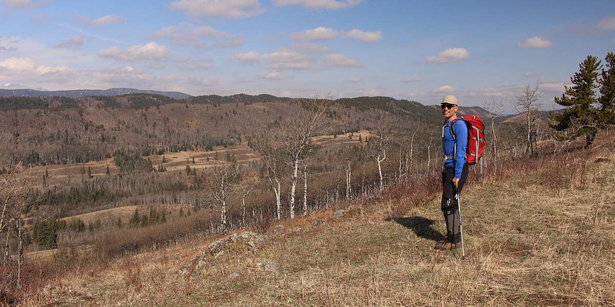
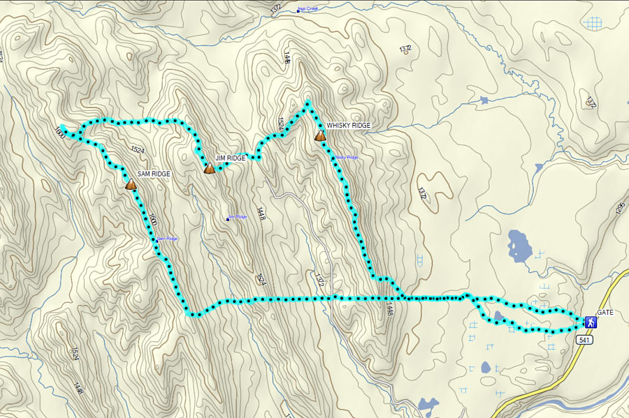
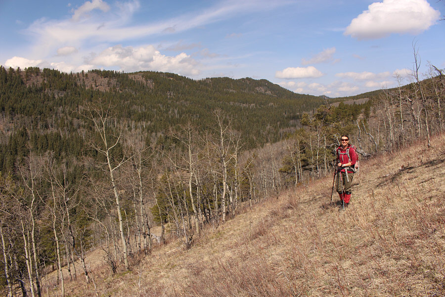
Near the south end of Whisky Ridge, Ali gets his first glimpse of the forested tops of Sam Ridge peeking over the crest of Jim Ridge.


Not bad views already! 
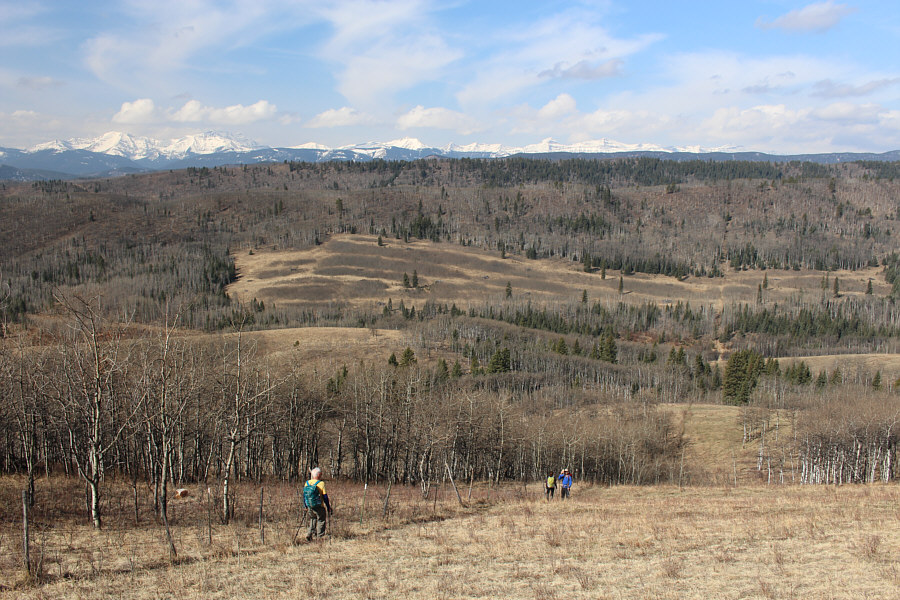
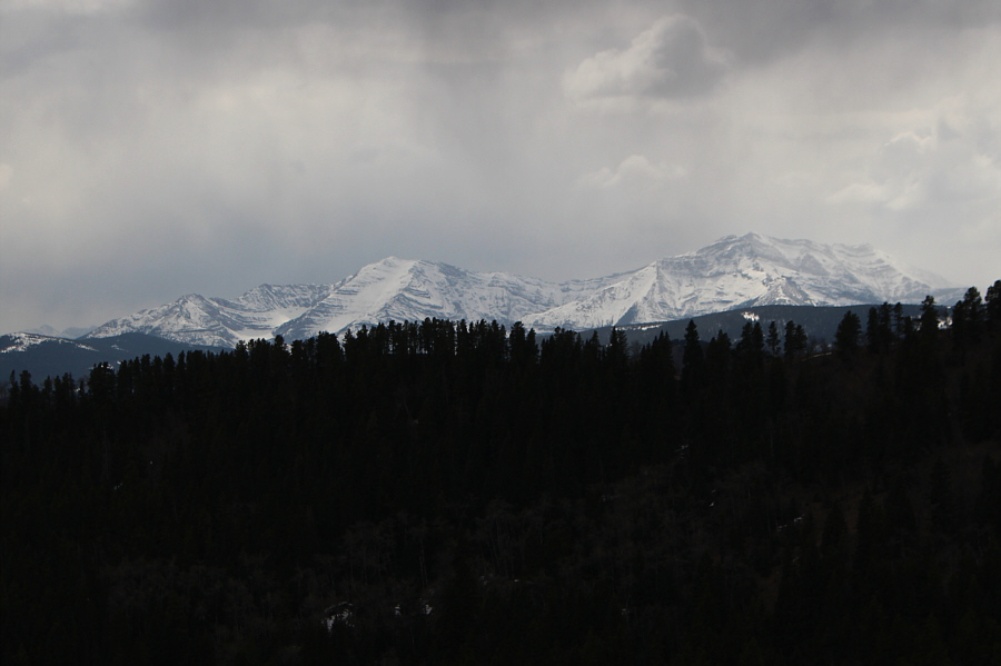
Snowy mountains are visible on the horizon as Wil follows Asieh and Ali down the west side of Whisky Ridge.
Rustic fountain? 
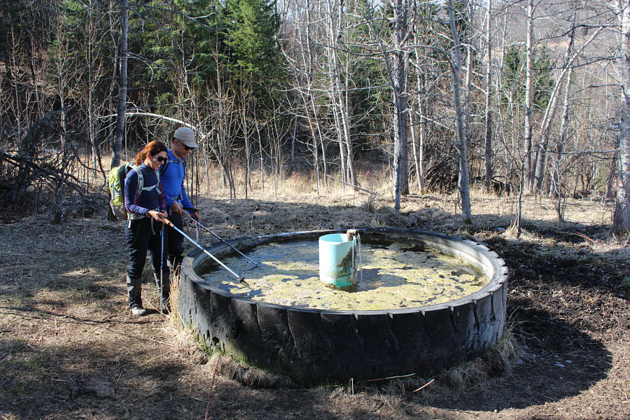
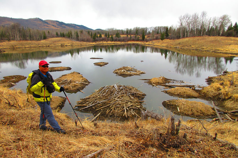
Asieh and Ali poke at some ice in a water trough near the fence line.
Can you spot Shaun's long johns? 
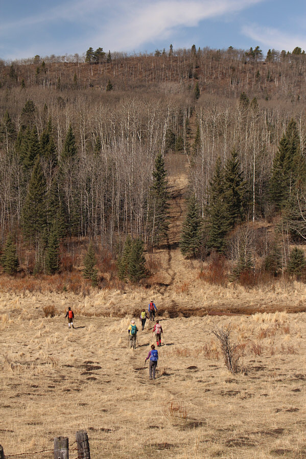
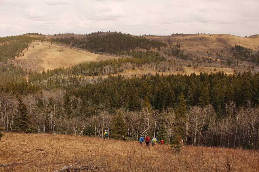
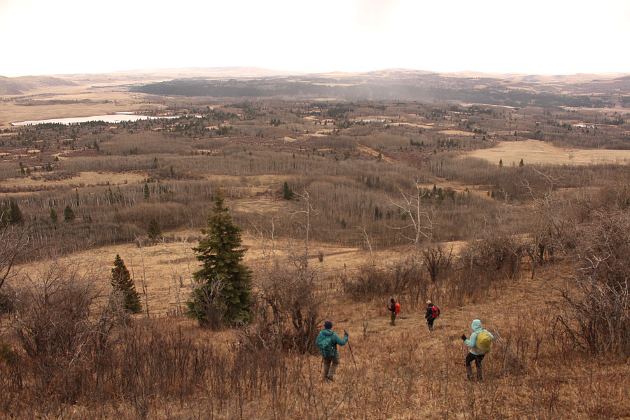
The group bottoms out in the valley between Jim Ridge and Whisky Ridge.
Looks like the Death Star trench run! 
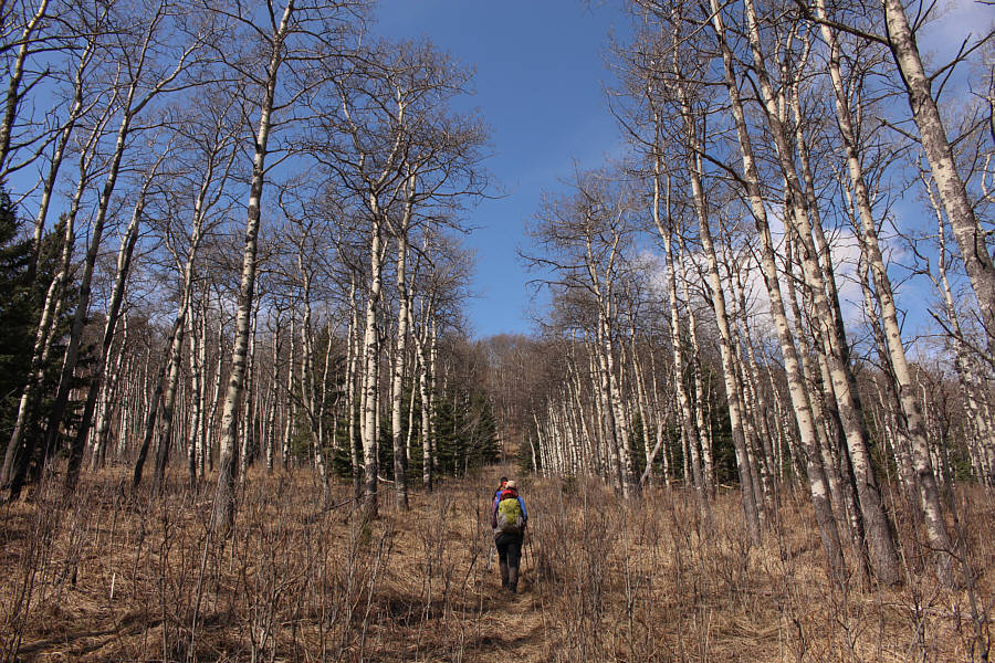
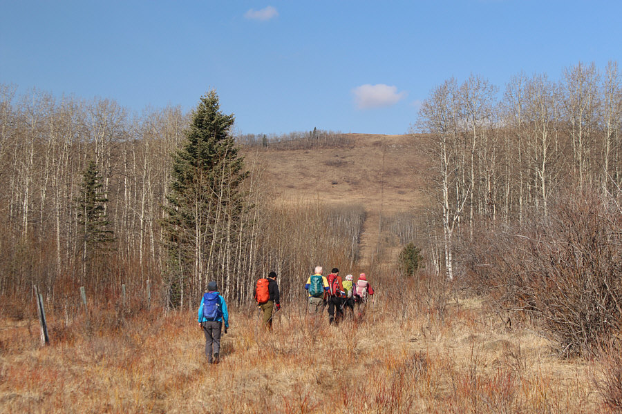
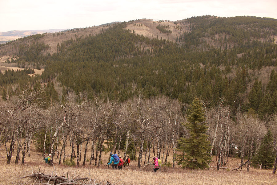
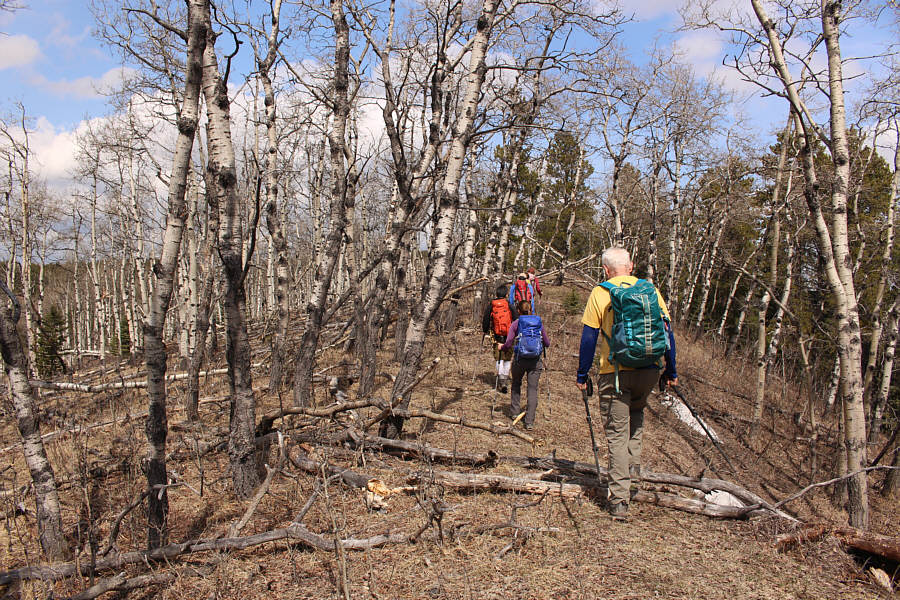
On the way up Jim Ridge, the group follows a convenient cut line through an aspen forest.
Zosia is still smiling which is a good sign! 
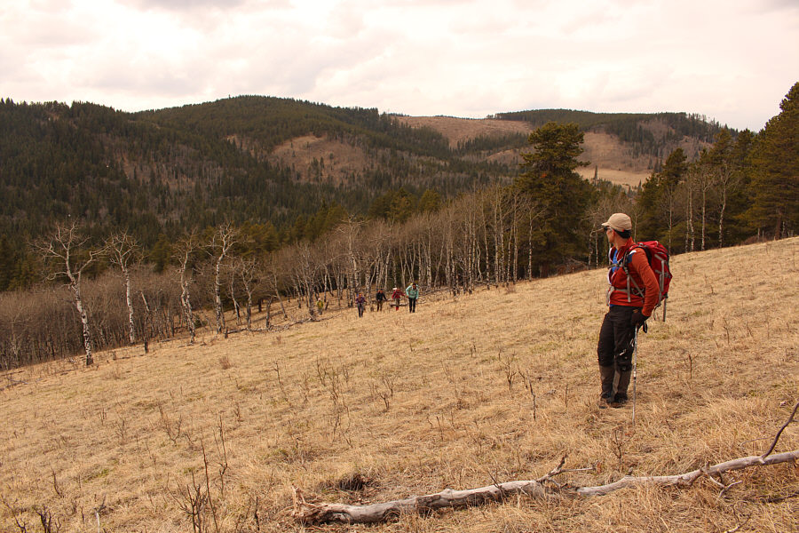
After climbing over the south end of Jim Ridge, Zosia gets a clearer view of Sam Ridge in the distance.
All we need is a dog! 
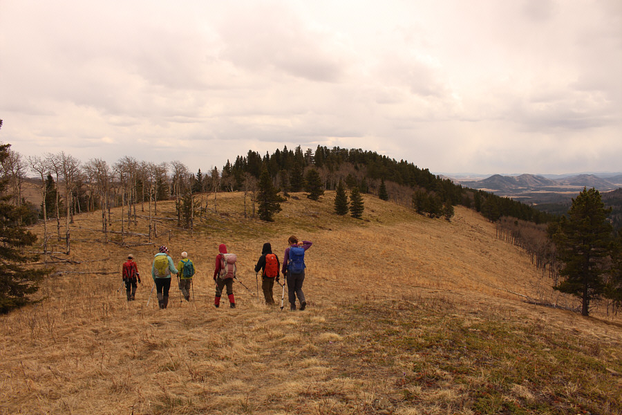
Upon gaining the crest of Sam Ridge, the group heads northward.
No need to hop the fence here--stay on this side! 
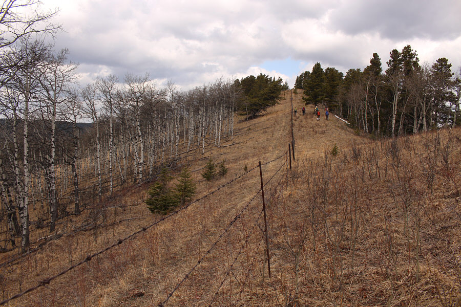
The group follows another fence line along the crest of Sam Ridge.  This is the western boundary of OH Ranch Heritage Rangeland.  The area left of the fence is also public agricultural land.
I couldn't verify this until after the trip. 
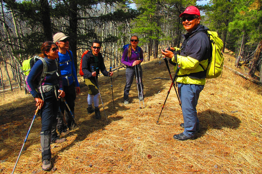
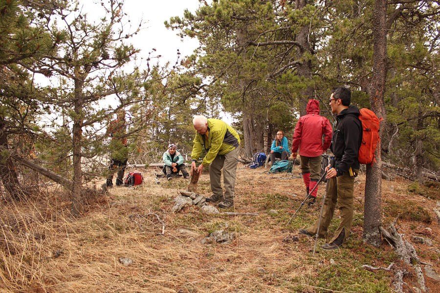
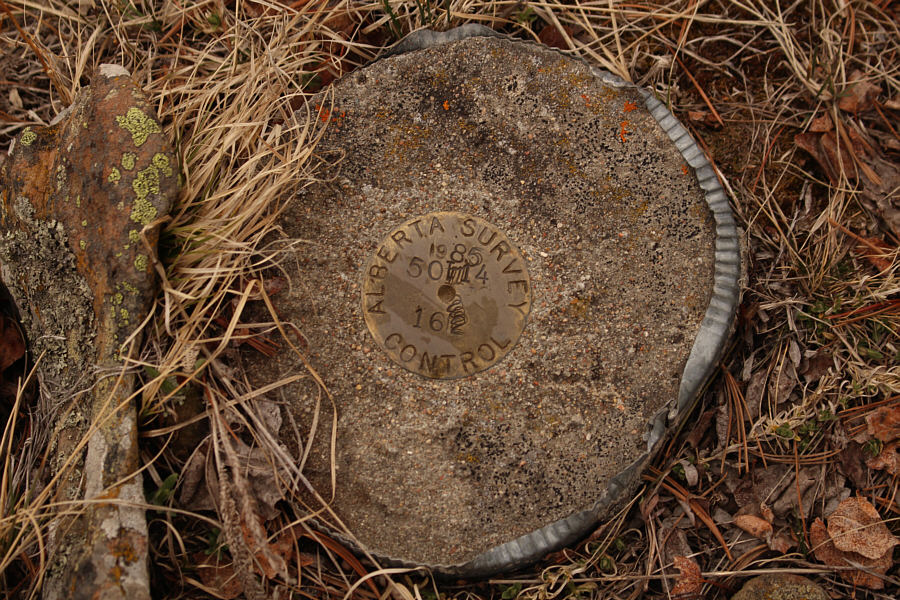
Asieh, Ali, Shaun, Aga and Sonny do not realize that they are actually standing on the true high point of Sam Ridge (1646 metres).

Photo courtesy of Zosia Zgolak

Not necessary for claiming the high point of Sam Ridge but not much extra effort either! 
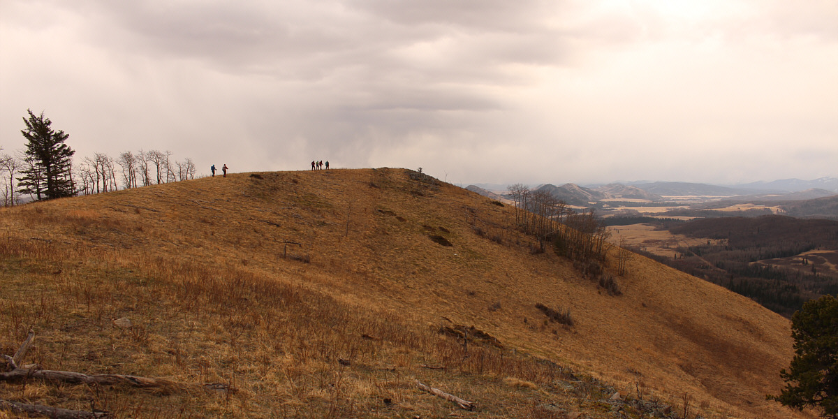
The group continues to follow the fence line northward to another bump along Sam Ridge.
I thought this was the high point of Sam Ridge! Aga, Ali, Asieh, Shaun, Zosia, Sonny and Wil stand on the northern bump (1644 metres) of Sam Ridge.
From the northern bump of Sam Ridge, Asieh, Shaun, Ali, Aga, Wil, Zosia and I turned eastward and made our way down into the valley before climbing up the north end of Jim Ridge.  The bushwhacking here was light, and we were fortunate that the marshy low areas were still mostly frozen and easy to walk through.  Upon reaching the crest of Jim Ridge, we turned southward and hiked over a scenic subsidiary bump before continuing to
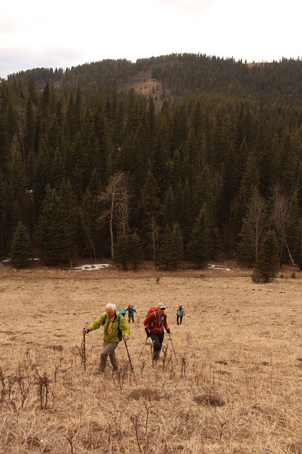
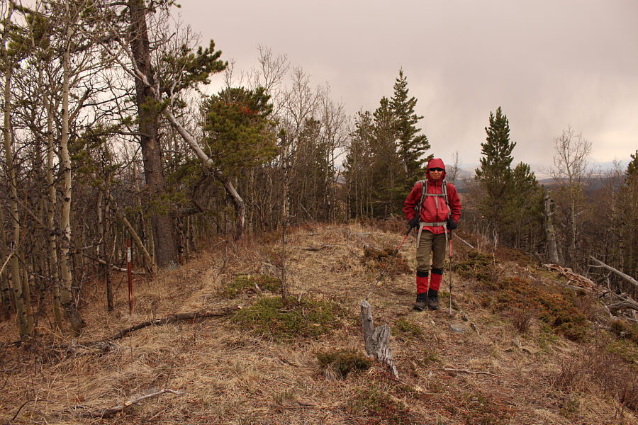
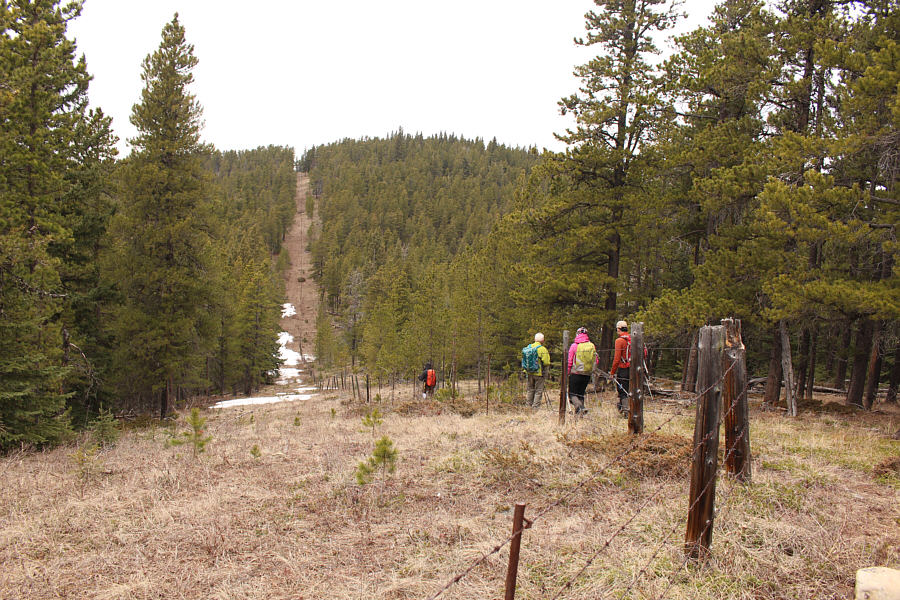
 the partially forested true high point.
This is turning into quite a roller coaster ride! The group drops down a steep slope heading for Jim Ridge.
Are we getting tired yet? Ali looks back at Sam Ridge and the rest of the group as they ascend Jim Ridge.
Why are all the high points in trees?? The group hikes along the crest of Jim Ridge toward the high point which is somewhere in the trees ahead.
Still looks like winter over there! Here is a distant view to the southwest of Holy Cross Mountain and Mount Head from Jim Ridge.
The only ridge where I got a group photo on the actual high point! Asieh, Ali, Shaun, Wil, Zosia, Aga and Sonny stand on the true high point of Jim Ridge (1612 metres).
With little reason to linger, Asieh, Shaun, Ali, Aga, Wil, Zosia and I plunged down the steep slope directly east of the high point of Jim Ridge.  By this point, the whole endeavour of tagging scrubby ridge tops was starting to become wearisome, and our ascent of the north end of Whisky Ridge felt laborious.  Upon reaching the northernmost high point of Whisky Ridge, we stopped for another break before carrying on south along the ridge crest.  At one point, Zosia and I both fell behind the others, but just as we were about to try and catch up to them, we spotted a knoll to our right (west) that appeared higher.  When we went to investigate, we found a survey marker there, and my GPS unit confirmed that the knoll was the true high point of Whisky Ridge.  The rest of our friends appeared to have missed tagging the knoll, but by then, they were out of earshot and already well on their way to a subsidiary high point further to the south.  I decided that it was not worth dragging them all the way back just to tag the knoll, and Zosia and I simply hurried to rejoin them at the next high point.  From there, we continued southward over a couple more minor humps before dropping off the ridge crest prematurely and taking a short cut back to the fence line we followed earlier in the day.  For the remaining hike back to the highway, we deviated a bit from our original route, and although that entailed a little more bushwhacking, we also got to check out one of the many beaver ponds dotting the area.

In retrospect, my proposed route--roughly the reverse of that used by Sekera's party--worked out fairly well with minimal bushwhacking, but I grossly underestimated how strenuous this hike would be with all its ups and downs.  I apologize to all my hiking companions for suggesting that our round-trip time would be about five to six hours, and I thank them all for their bottomless patience, their good humour, and their pleasant company.  I also wish to thank OH Ranch for granting me permission to access the area.
Last big dip...I promise! Heading to Whisky Ridge, the group drops down yet another steep slope.
C'mon! We can do this! The high point of Jim Ridge is visible in the background as the group grinds its way up Whisky Ridge.
Making the old guy do all the work! Everyone watches Wil build a cairn on the northern subsidiary high point (1587 metres) of Whisky Ridge.
Could be disputed given how close in height the northern high point is... Zosia stands beside a survey marker on the true high point of Whisky Ridge (1588 metres).
Wish the high points of the other two ridges had this...or did we just miss them? Here is a closer look at the survey marker.

Those clouds look threatening!

The group walks to the top of a subsidiary high point along Whisky Ridge.


I've lost count of how many high points we hit on this day!

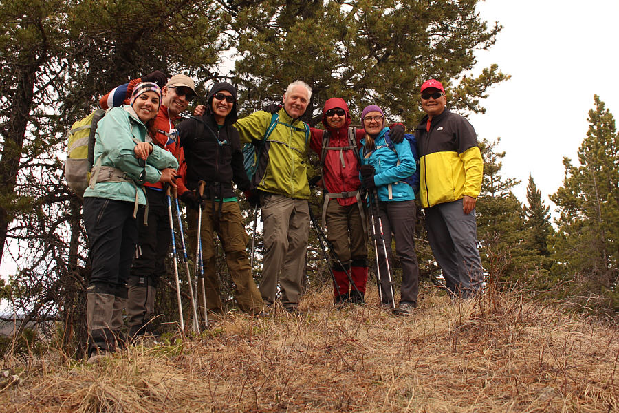
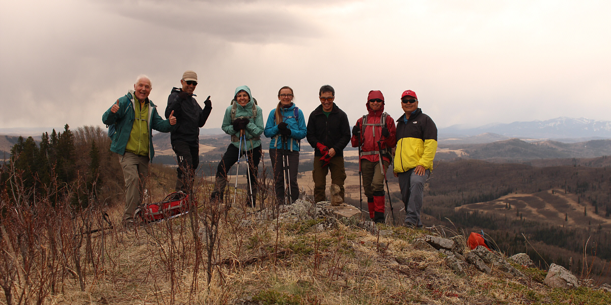
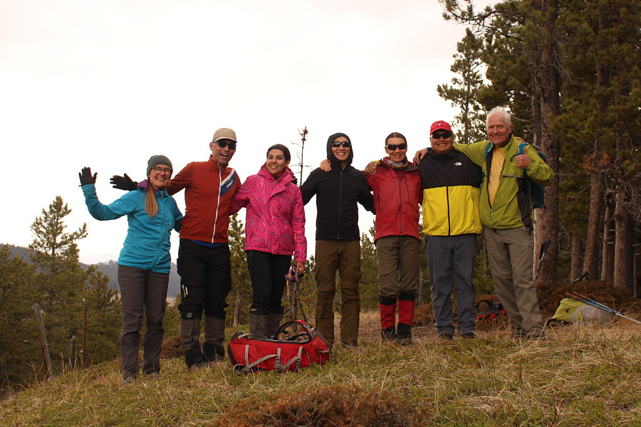
Wil, Ali, Asieh, Aga, Shaun, Zosia and Sonny gather for a final group photo on the southern subsidiary high point (1584 metres) of Whisky Ridge.


On the home stretch...finally! The group drops down for the final time aiming for the fence line visible at right.
Lotsa busy beavers here, but we didn't see any unfortunately. Sonny stops by a beaver pond on the hike out.  Visible at distant left is Whisky Ridge.

Photo courtesy of Zosia Zgolak

Much longer and more strenuous than expected. Total Distance:  19.0 kilometres
Round-Trip Time:  10 hours 4 minutes
Cumulative Elevation Gain:  1094 metres

GPX Data