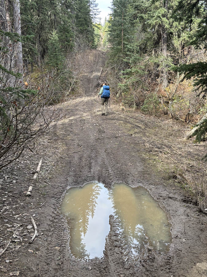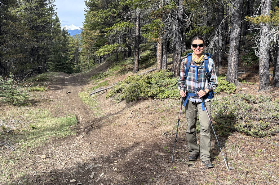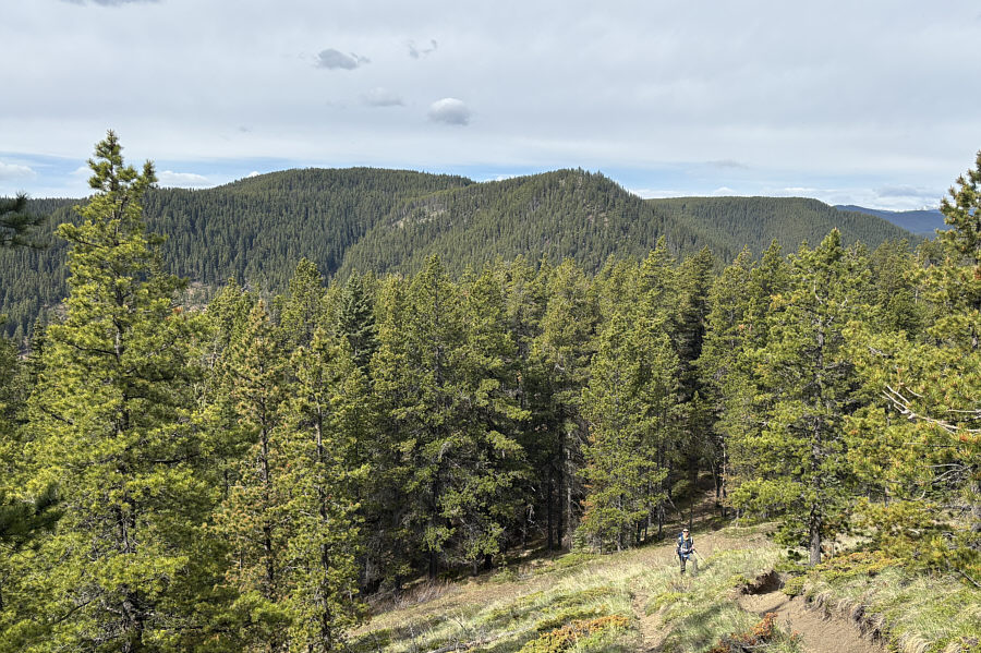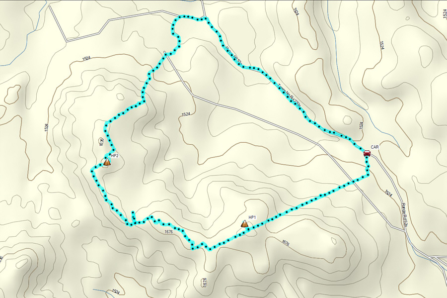
Starting from the entrance (50.83210, -114.61420) to a large clearing on the west side of McLean Creek Trail (2WD gravel road), Zosia and I immediately picked up a dirt road on the far side of the clearing. This road soon merges with a northeast-southwest cut line, and we had the bulk of the moderately steep ascent here over the next 1.5 kilometres or so. Where the road crests the hilltop, we made a short detour into the forest to tag the unremarkable high point of Fisher Creek Hill. Returning to the road, we descended the continuation of the cut line for about 360 metres before turning right onto a dirt bike trail signed as "480". This dirt bike trail essentially follows the crest of Fisher Creek Hill's west ridge which eventually turns northward after passing a dip. We actually left the dirt bike trail at the dip to follow what looked to be a promising road, but it quickly disappeared less than a hundred metres further. Thus, we returned to the dirt bike trail and followed it for another 600 metres before turning right at a split to climb up a subsidiary high point.
After taking a short break on the
subsidiary high point, Zosia and I headed northward off-trail to connect
with a north-south cut line which I had hoped to follow all the way to
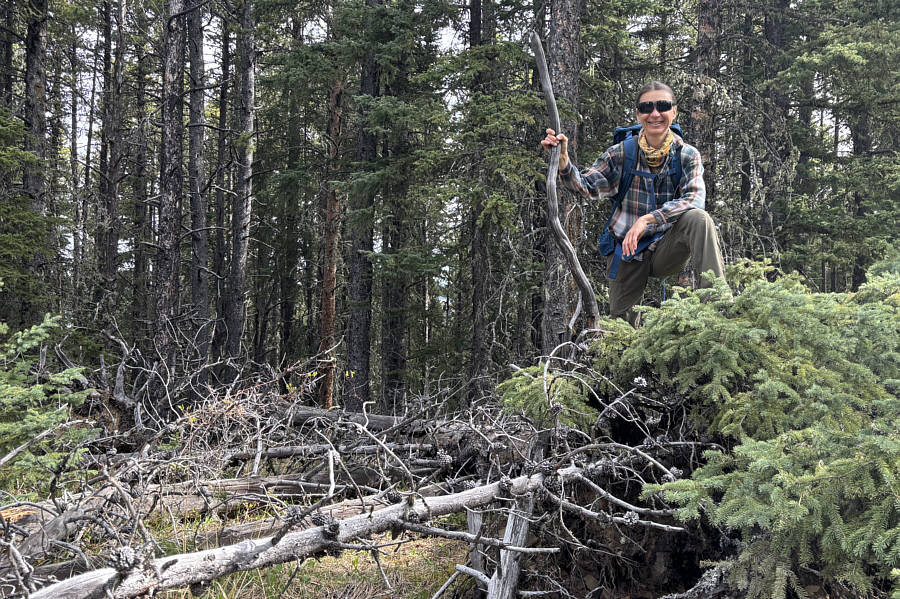
the terminus of the ridge. Increasing deadfall along the cut line
ultimately forced us to abandon it and simply drop down forested slopes
in a more northeasterly direction. Fortunately, we stumbled onto a
fairly good game trail here, and even when it occasionally petered out,
the bushwhacking was not bad. We eventually entered a large cut
block, and although there is a pipeline right-of-way here that would have
led us more directly back to our starting point, we completely missed the
turnoff since I was so focused on getting down to Mclean Creek Trail.
In any case, we managed to muddle our way down to the road without too
much grief, and although we had to keep an eye out for occasional passing
motor vehicles, the subsequent walk back to our car was straightforward.
Zosia stands on the high point of Fisher Creek Hill (1730 metres).

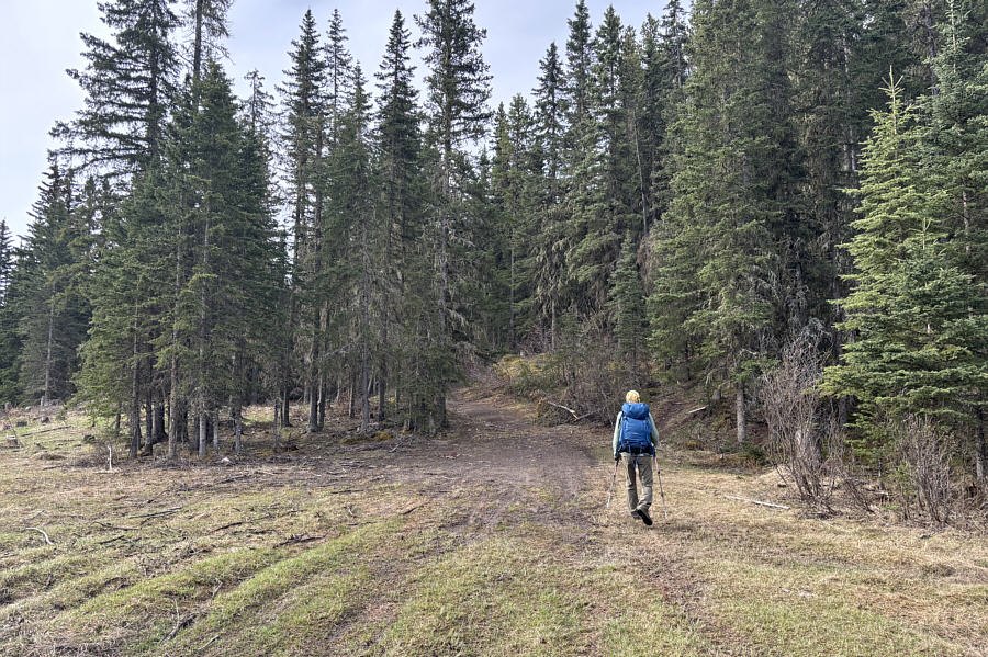
Zosia starts the ascent of "Fisher
Creek Hill" on a dirt road.

The dirt road is easy to follow and not too muddy on this day.

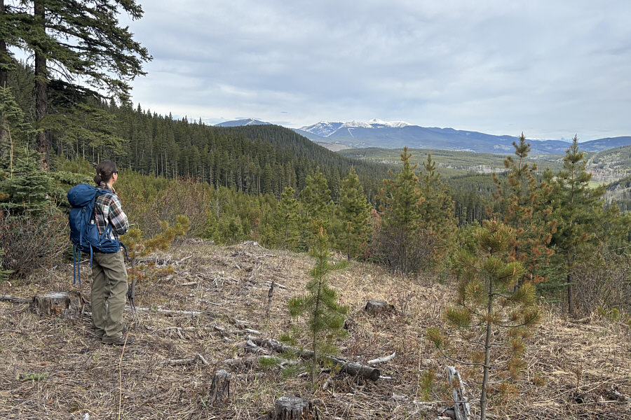
Snowy Moose Mountain is visible to the
northwest from this small clearing to the side of the dirt road.

The dirt road crests Fisher Creek Hill
at this point. The actual high point is a short distance to the
right in the forest. Visible through the trees in the distance
is Banded
Peak.


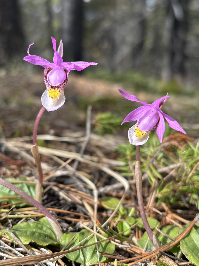
Calypso orchids help alleviate some of
the monotony of the largely viewless hike.

A rare opening in the forest grants a
view of Mount
Quirk to the west.

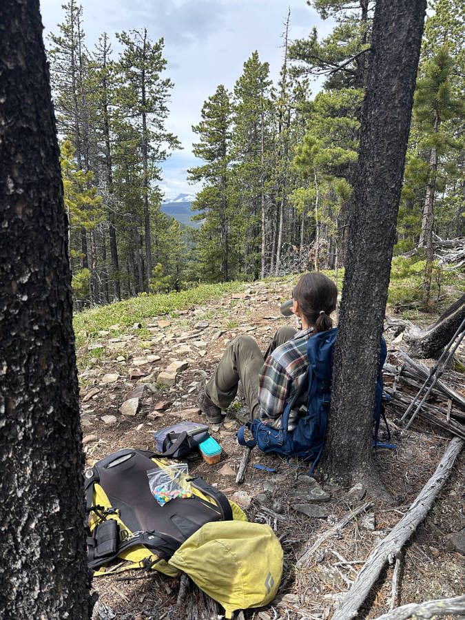
Zosia stops for a break on a
subsidiary high point (1680 metres) with a view of
Mount Romulus
through the trees.

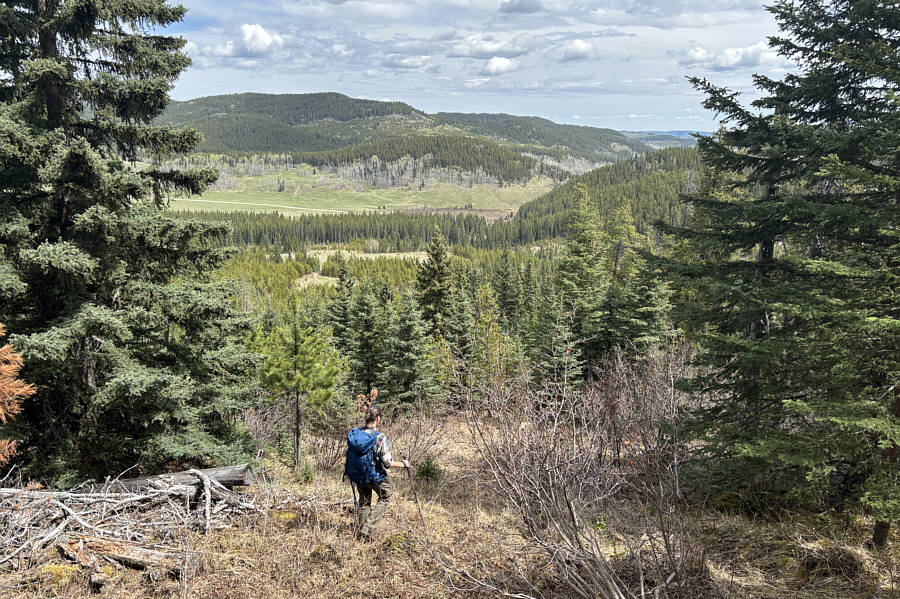
Zosia descends off-trail in hopes of
reaching McLean Creek Trail (road) which is visible in the distance.

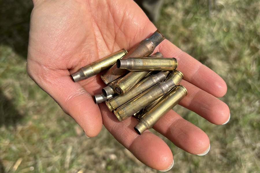
Zosia picks up a handful of bullet
shell casings amongst many others found in the bush.

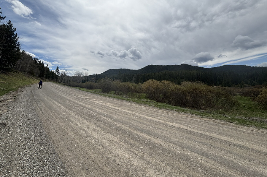
Zosia hikes back to her starting point
along McLean Creek Trail with Fisher Creek Hill visible in the
background.

Total Distance: 8.6 kilometres
Round-Trip Time: 4 hours 27 minutes
Cumulative Elevation Gain: 318 metres