


|
|
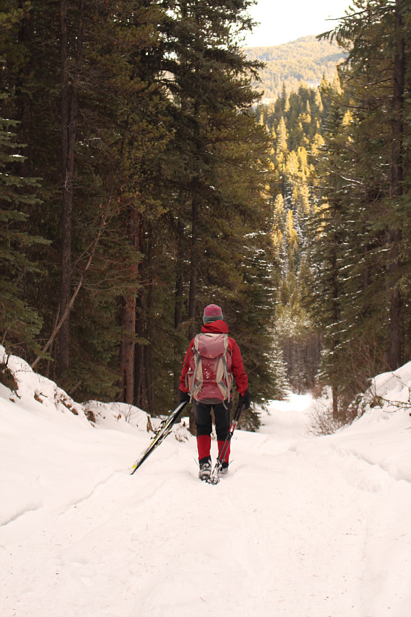
Beyond the seasonal gate near Fisher Creek Provincial Recreation Area, Zosia skis on the continuation of McLean Creek Trail. |
|
|
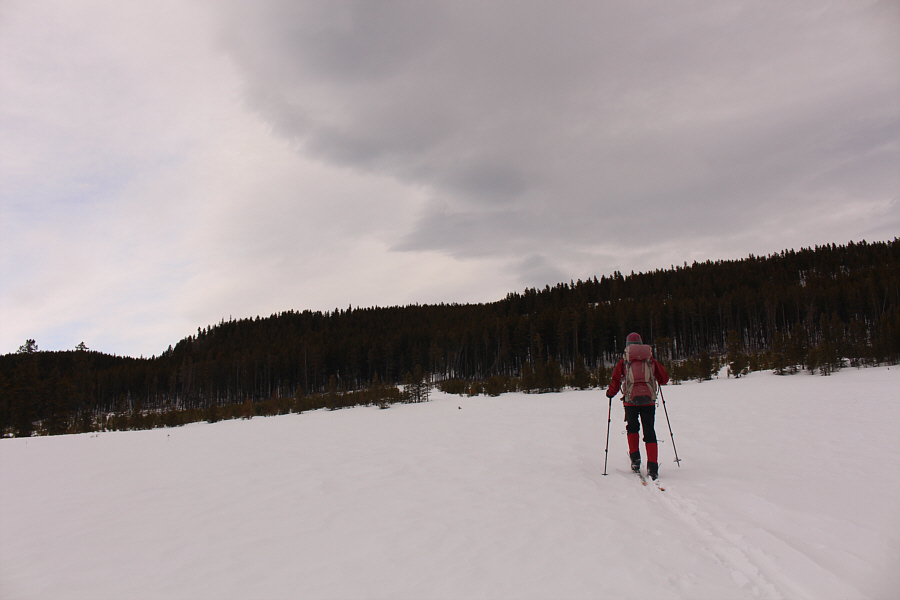
Zosia turns onto Fisher Creek road at Fisher Creek West staging area (summer trailhead). |
|
|
At a Y-junction along Fisher Creek road, Zosia takes the right fork. She would later return on the left fork. |
|
|
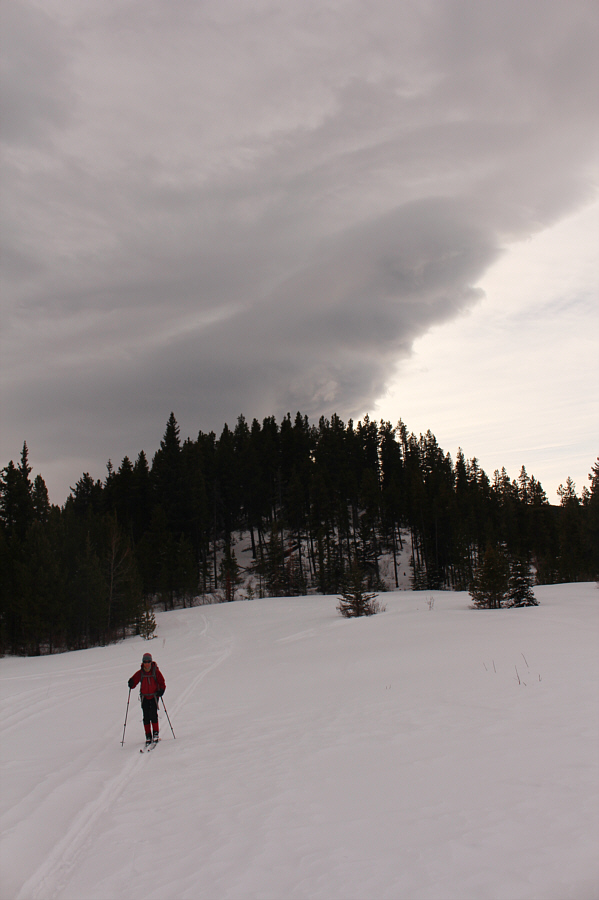
A Chinook arch can be seen above a wooded knoll as Zosia enters a cut block. |
|
|
Zosia crosses the cut block en route to the top of the forested ridge in the background. |
|
|
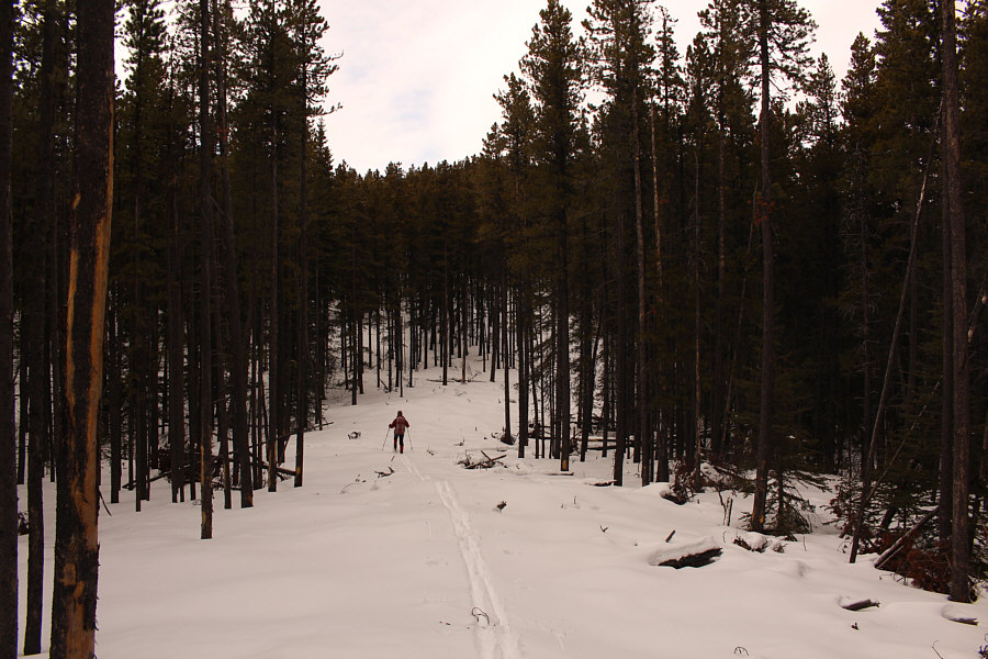
Zosia briefly follows a man-made corridor through the forest on the east ridge of Mount Quirk. |
|
|
Cross-country skiing through the forest on Mount Quirk's east ridge is not too bad for the most part. |
|
|
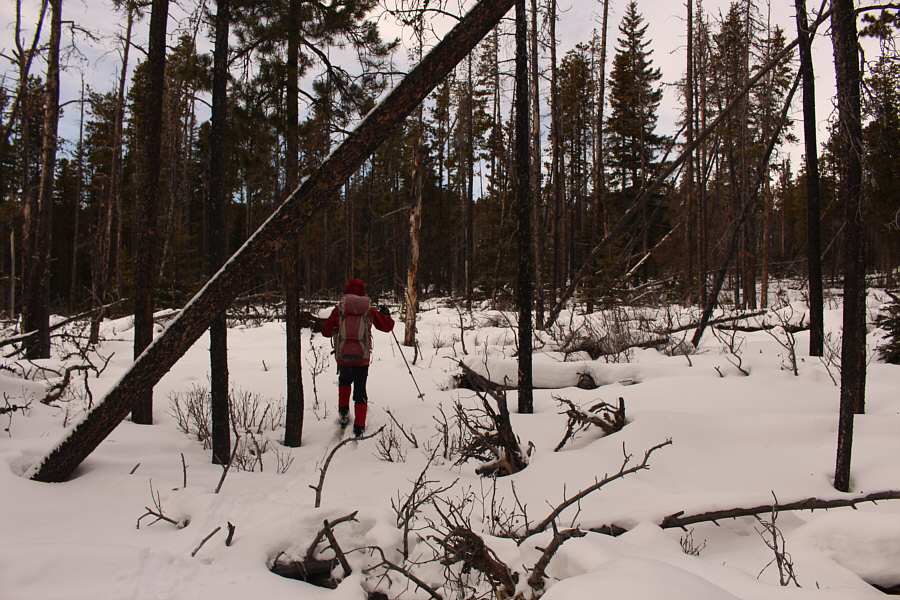
Some open areas like this one are actually more tedious to ski through because of underlying deadfall. |
|
|
Zosia and Sonny sit on the summit of Mount Quirk (1895 metres). |
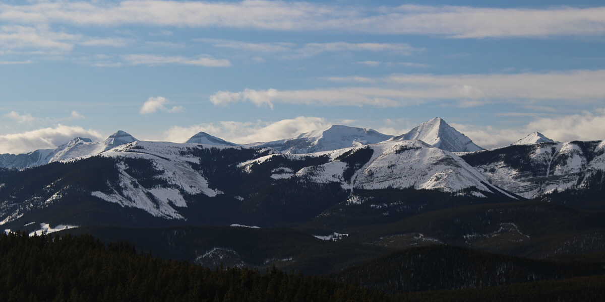
To the southwest, Banded Peak, Outlaw Peak, Mount Cornwall and Mount Glasgow can be seen poking above Forgetmenot Ridge.

Prairie Mountain and Moose Mountain are visible to the northwest.
After taking a short break, Zosia and I started skiing
down the south side of the summit, but almost immediately, we had to
remove our skis and descend on foot because of the steep slope and thin
snow coverage. We donned our skis again when we reached flatter
terrain at the bottom of the slope. Continuing westward, we
re-entered forest and passed a makeshift shelter before reaching a
surprising escarpment with views to the west. We followed the
edge of the escarpment for a short distance and subsequently turned
southward to ski down a rough trail on the ridge crest. Undulating
snow drifts and occasional bare patches along the trail made the descent
challenging, and we had to remove our skis again to walk down another
steep slope just before a T-junction. Switching back to skiing
mode, we kept straight (south) at the junction and once again had the
pleasure of following OHV tracks in the snow as we climbed over a low
hump along the ridge. About 700 metres further, we reached a
5-way junction which is mentioned in Daffern's route description. Turning eastward, we soon
removed our skis again for a lengthy walk down probably the steepest
section of road on the entire trip. We both agreed that it was a
real shame to have to lose so much hard-won elevation on foot, but for
us, self-preservation always trumps thrill-seeking! Even walking
was not easy as some parts of the road were sheer ice and had to be
carefully negotiated. When we descended far enough to reach more
moderately-angled slopes, we strapped our skis back on and finally
enjoyed some nice cruising along the road. We eventually
intersected our up-track at the Y-junction and continued eastward along
Fisher Creek road. Despite a few thrilling downhill sections on the
ski out, there are enough uphill sections to make this a long and
tiring grind. Most dispiriting to me were the final few
kilometres of mostly uphill plodding along McLean Creek Trail to get
back to the seasonal gate at our starting point.
Overall, I am not sure if I can recommend Mount Quirk as a ski ascent.
The summit views hardly justify the long approach, and I think we were
very fortunate to have ideal snow conditions and OHV tracks to follow on
the back roads. Still, the solitude we had--we did not see a single
soul or motorized vehicle all day--was hard to beat, and the trip was
undeniably a "quirky" adventure for Zosia and me.
 |
Zosia begins to ski down the south side of the summit. |
 |
The steep slope south of the summit forces Zosia to pick up her skis and walk down. |
 |
Zosia comes across a makeshift shelter not far from the summit. |
 |
Sonny makes his way along the edge of
an escarpment. Photo courtesy of Zosia Zgolak |
 |
Zosia skis down one of several challenging sections along Mount Quirk's south ridge. At centre in the distance is Allsmoke Mountain. |
 |
Sonny is not pleased about having to drag his skis down a very steep road
into Fisher Creek valley. Photo courtesy of Zosia Zgolak |
 |
Zosia also walks down the steep road into Fisher Creek valley. |
 |
Sonny finally gets to enjoy some nice downhill cruising on the ski out
along Fisher Creek road. Photo courtesy of Zosia Zgolak |
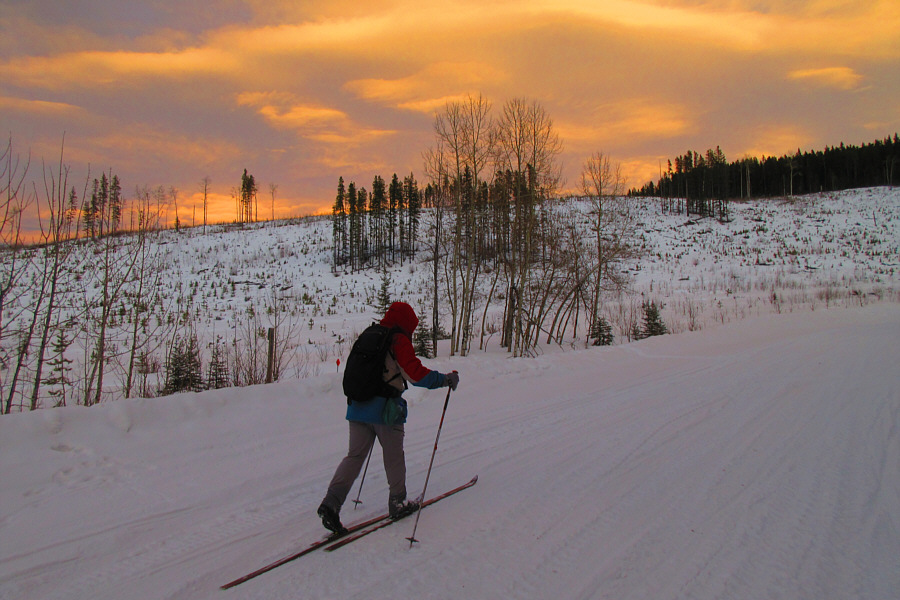 |
With darkness approaching, Sonny grinds his way back to Fisher Creek
Provincial Recreation Area along McLean Creek Trail. Photo courtesy of Zosia Zgolak |
 |
Total
Distance: 25.4 kilometres Round-Trip Time: 8 hours 36 minutes Total Elevation Gain: 858 metres |