BOU AVENUE
Fuzzy Butte, West Butte, Oregon Butte And Steptoe Butte

Zosia Zgolak and I found ourselves in the Blue Mountains of southeastern Washington on 2 August 2026, and we made plans to hike up Oregon Butte, the highest mountain in the range.  A good trail leads to an active fire lookout tower atop Oregon Butte, and a separate officially-named summit--West Butte--can be tagged at the same time with minimal extra effort.  As an added bonus, Fuzzy Butte, another officially-named summit, can also be easily tagged even before reaching the trailhead for Oregon Butte.  Though not particularly rugged, the Blue Mountains are fairly remote with help being a long way off in the event of an emergency.  Visitors should be self-sufficient and well-prepared before venturing into this region.

From Dayton, drive south on 4th Street which becomes N Touchet Road beyond city limits.  At the intersection with S Touchet Road, keep straight and drive another 4.9 kilometres before turning left onto Hatley Gulch Road (2WD gravel).  Drive 7.0 kilometres and veer right onto Eckler Mountain Road.  Drive 5.3 kilometres and reach Eckler Mountain Sno-Park (vault toilet) just past the intersection with Maloney Mountain Road.  A sign here states that the road beyond is closed from "November 30 to April 1 Or as otherwise posted."  Continue for another 4.2 kilometres and turn right onto Kendall Skyline Road (marked by a monolith with a commemorative plaque).  Drive 18.3 kilometres to a split.  The left fork is National Forest (NF) road 4608 which leads to Teepee Trailhead (access to Oregon Butte) in another 9.9 kilometres.  Parking at Teepee Trailhead (vault toilet available) requires a day-use fee ($5 USD) or a federal annual (Northwest Forest or America the Beautiful) pass.  The right fork passes Godman Campground (free) and Guard Station (available for rent) in about 450 metres.  We parked in an open pullout on the left 300 metres past the campground to start our hike up Fuzzy Butte, but it is possible to drive another 800 metres along the road and make the ascent even more ridiculously short.

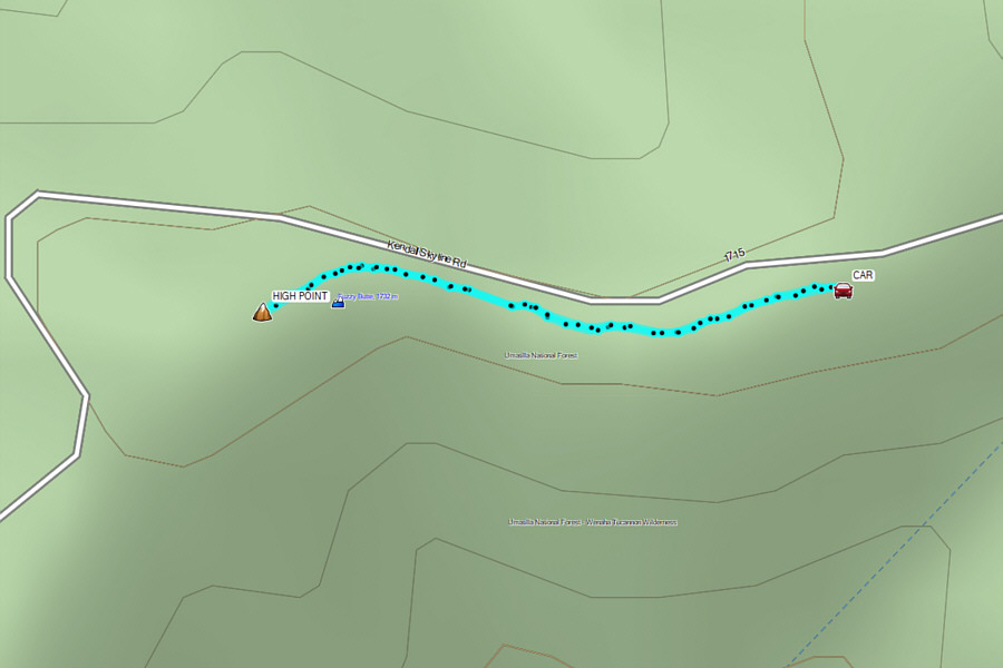
After spending the previous night at another campground further back along Kendall Skyline Road, Zosia and I started the day by driving to the described parking spot for Fuzzy Butte.  Fuzzy Butte is little more than a knoll along the side of the road with a dirt bike track running right over the scrubby summit.  The round-trip hike to the top probably took less time than the subsequent remaining drive to Teepee Trailhead.
It's a no-packs-or-poles-needed kinda hike! Zosia walks along a dirt bike track toward Fuzzy Butte.
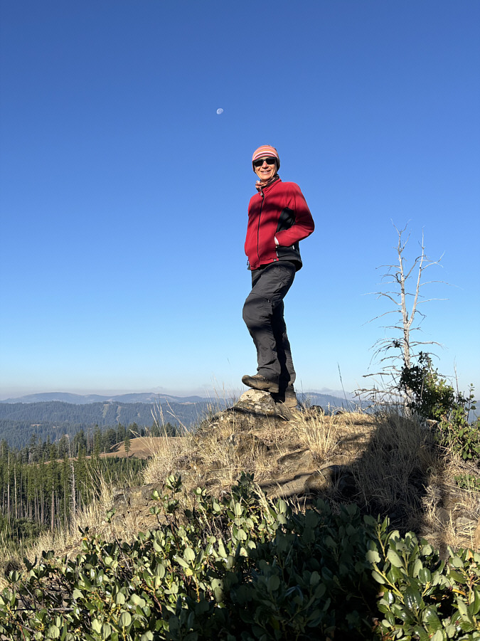
Can you spot the Ski Bluewood resort? Zosia stands under the moon on the high point of Fuzzy Butte (1750 metre).
Bagging officially-named summits doesn't get any easier than this...or does it (Steptoe Butte)? Total Distance:  850 metres
Round-Trip Time:  22 minutes
Cumulative Elevation Gain:  27 metres

GPX Data

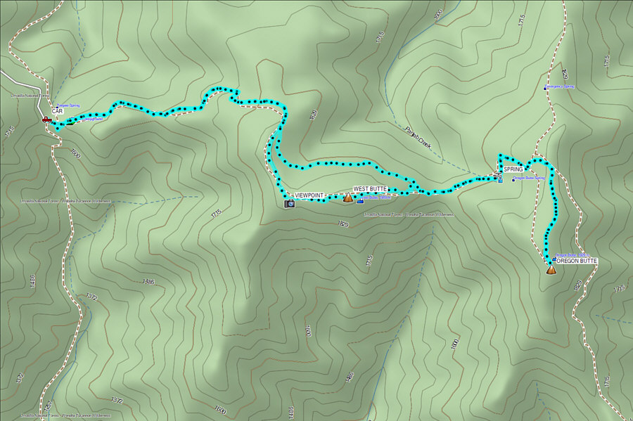
At Teepee Trailhead, Zosia and I began hiking up a signed and easy-to-follow trail starting from the east end of the parking lot.  Less than two kilometres from the trailhead, we arrived at a split and kept right to ascend West Butte.  There was more deadfall on the trail going up West Butte which necessitated a few short detours.  After tagging the top of West Butte, we dropped down its surprisingly steep east side, and once again, deadfall made following the trail here a bit challenging.  Once we re-connected with the main trail to Oregon Butte though, we had no more issues with deadfall.  About 150 metres past a spring, we reached another trail junction and kept right to ascend the final easy stretch before the top.

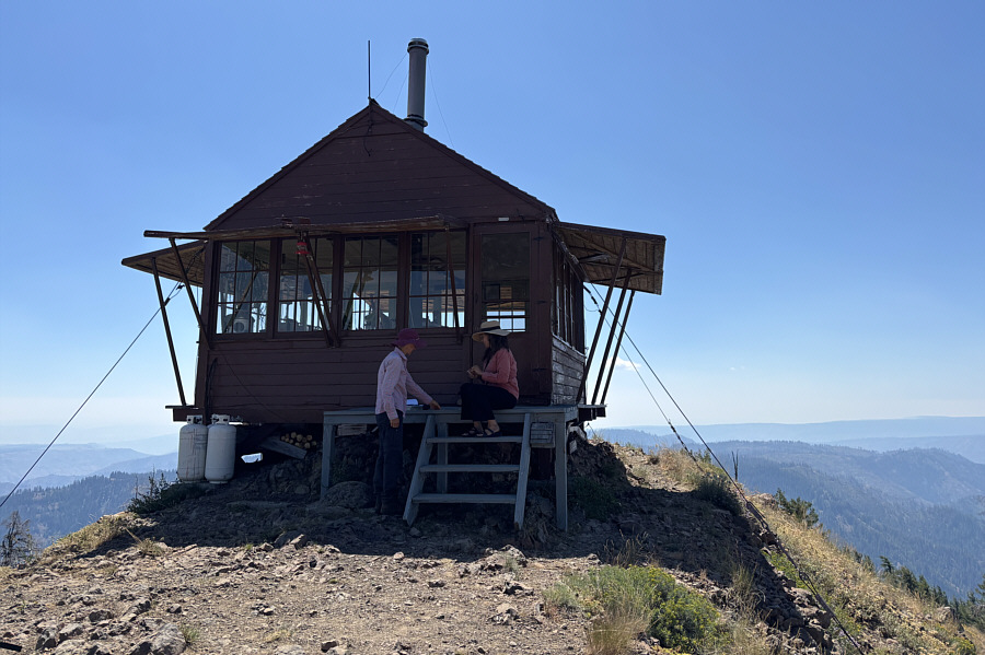
At the top of Oregon Butte, Zosia and I were warmly greeted by Julie who has been the resident fire lookout there for the past twenty years.  Julie is a walking encyclopedia of knowledge about the region's geology, history, and flora/fauna.  She even knew about the habits of a black bear--apparently one of two in the area--we spotted during our drive to the trailhead.  We ended up chatting with Julie about a wide range of interesting topics, and 2.5 hours breezed by before we finally bid her farewell.

For our return trip, Zosia and I basically backtracked along the same trail except we skipped the detour to West Butte.  We had no trouble returning to Teepee Trailhead, and the subsequent long drive out of the Blue Mountains was also uneventful.
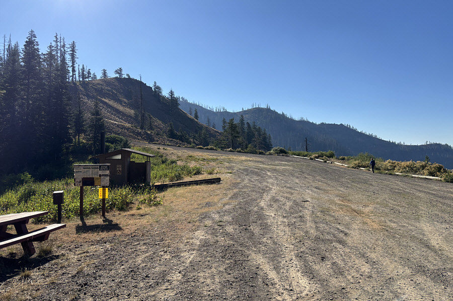
I'm a little surprised by how big this parking lot is; I wouldn't expect that a lot of people come here given how remote it is. Zosia traces the perimeter of the empty parking lot at Teepee Trailhead.
What do we need to climb Oregon Butte for?

There are already far-reaching views to the south from this rocky knob beside the trailhead parking lot.

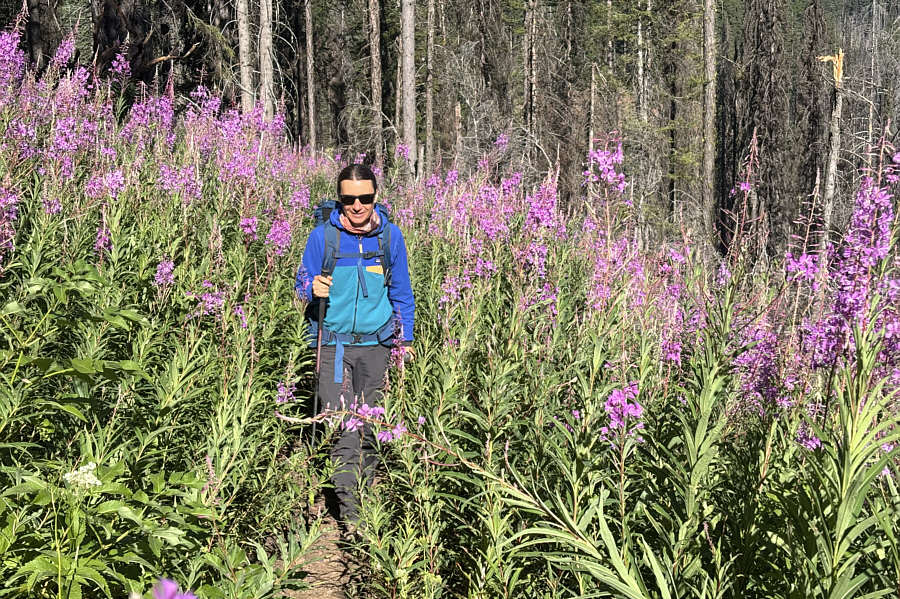
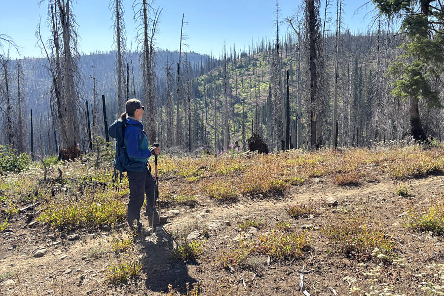
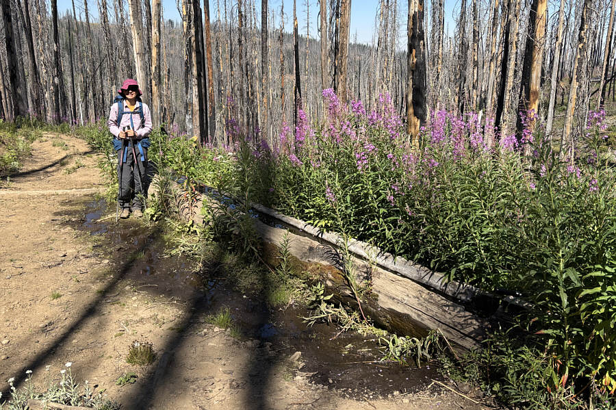
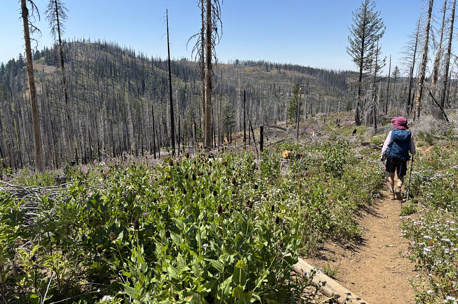
There seems to have been a lot of forest fires in this area in the past. Zosia is almost swallowed up by fireweed along the trail.
At this point, we didn't know that the fire lookout was manned. Zosia gets her first glimpse of the fire lookout tower atop Oregon Butte in the distance on the centre horizon.  At right is West Butte.
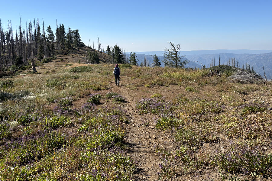
The left fork also entails some elevation loss and re-gain, so for about the same amount of effort, you might as well tag West Butte. At this split in the trail, Zosia takes the right fork which ultimately leads to the top of West Butte (left).
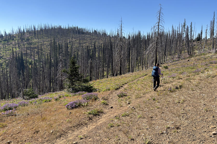
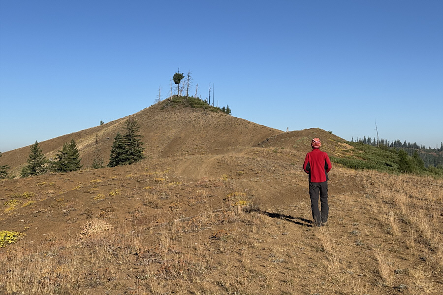
There's more deadfall futher up, so enjoy this while you can! The trail to West Butte is initially open and scenic.
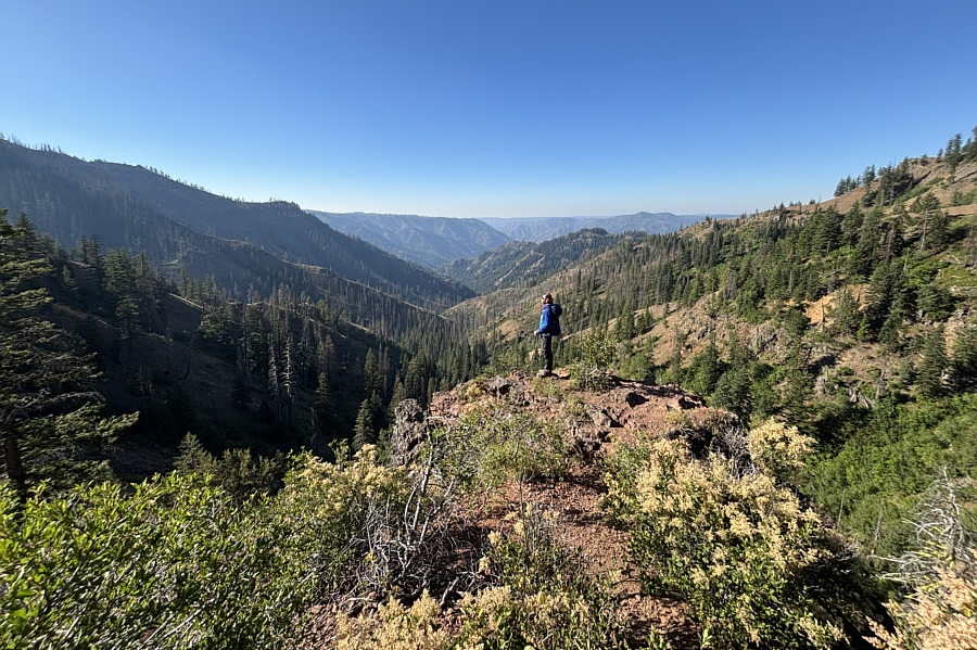
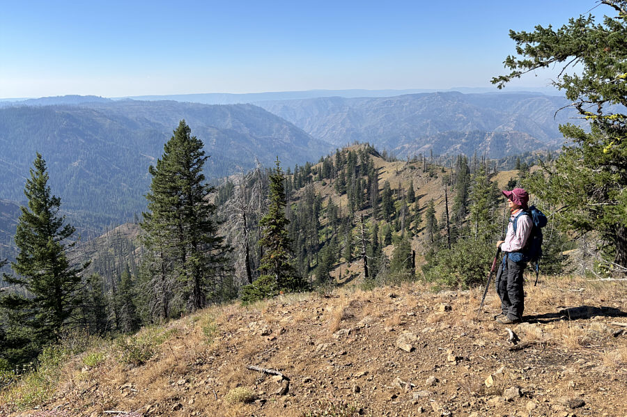
Kinda the same as what we saw from the trailhead! This viewpoint (1885 metres) is reached by a short detour from the trail going up West Butte.
 

Second officially-named summit of the day!

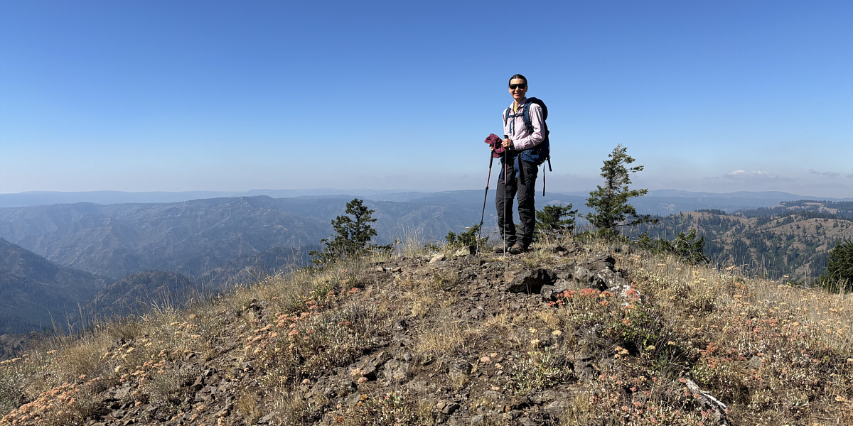
Zosia stands on the high point of West Butte (1927 metres).
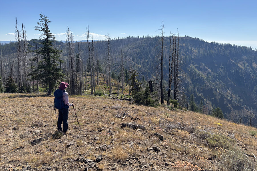
 

We still didn't know that the fire lookout tower was manned. From the top of West Butte, Zosia looks eastward toward Oregon Butte.
Need a bath? This hollowed out log acts as a collecting trough for Oregon Butte Spring.
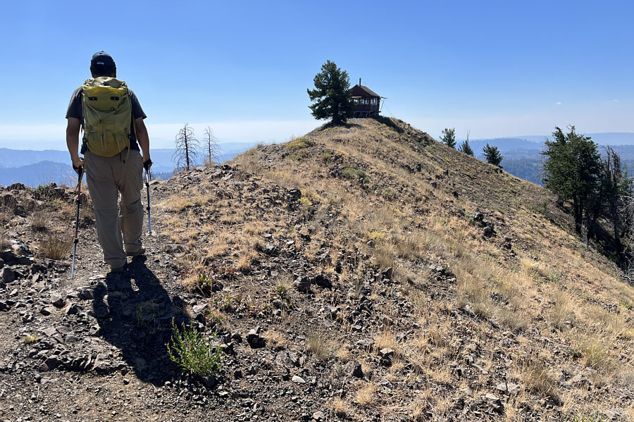
Took us about 2.5 hours to get here from the trailhead via West Butte. Sonny approaches the fire lookout tower sitting atop Oregon Butte.

Photo courtesy of Zosia Zgolak

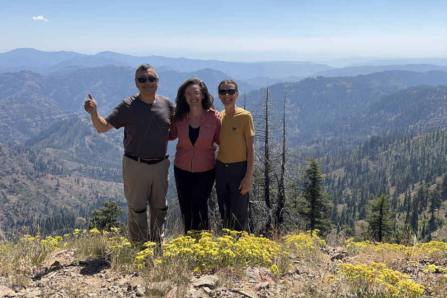
Julie has been a seasonal fire lookout for 20 years! Sonny and Zosia pose with Julie, the fire lookout stationed at Oregon Butte (1952 metres).
It was great meeting you, Julie! Zosia and Julie exchange contact info on the porch of the fire lookout tower.
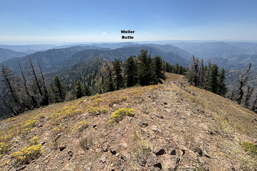
Ironically, Oregon Butte is located in Washington! In this view to the south, everything beyond Weller Butte is on the Oregon side of the state border.
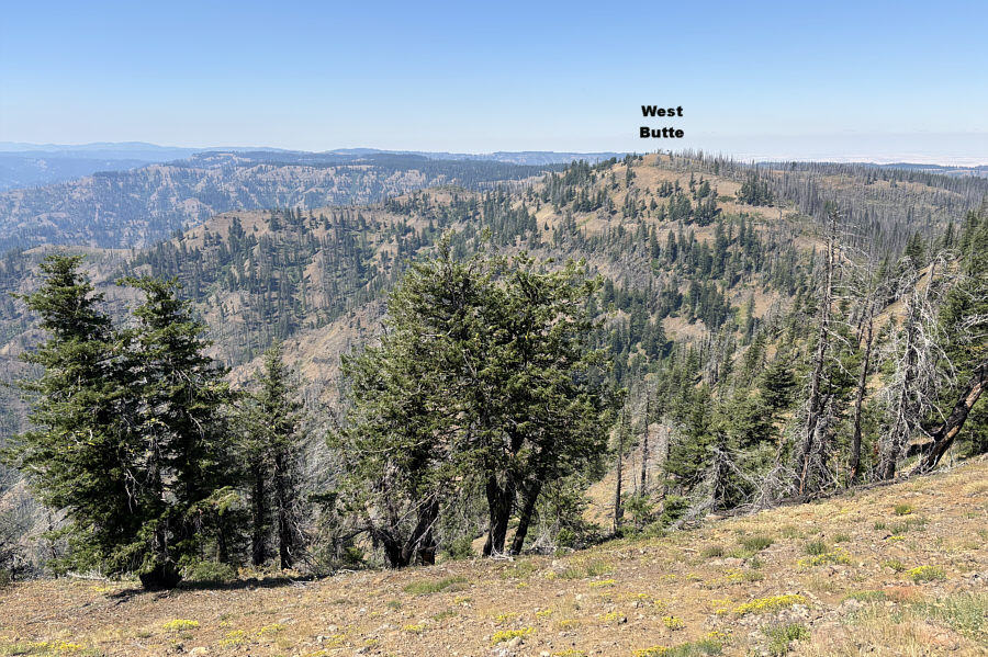
West Butte looks almost as high if not higher even though it's actually 25 metres lower! This is looking west from the top of Oregon Butte.
The hike back to the trailhead was an hour less than our visit with Julie! Zosia takes a last glance at West Butte (left) as she backtracks along the main trail.
Very pleasant hiking in a remote part of Washington and an even more pleasant visit with the fire lookout, Julie! Total Distance:  9.6 kilometres
Round-Trip Time:  6 hours 15 minutes
Cumulative Elevation Gain:  406 metres

GPX Data

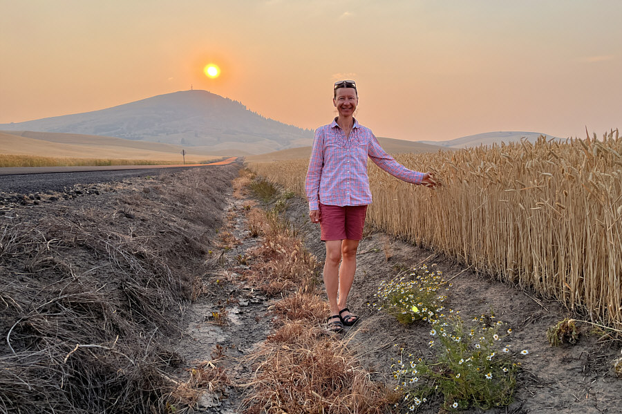
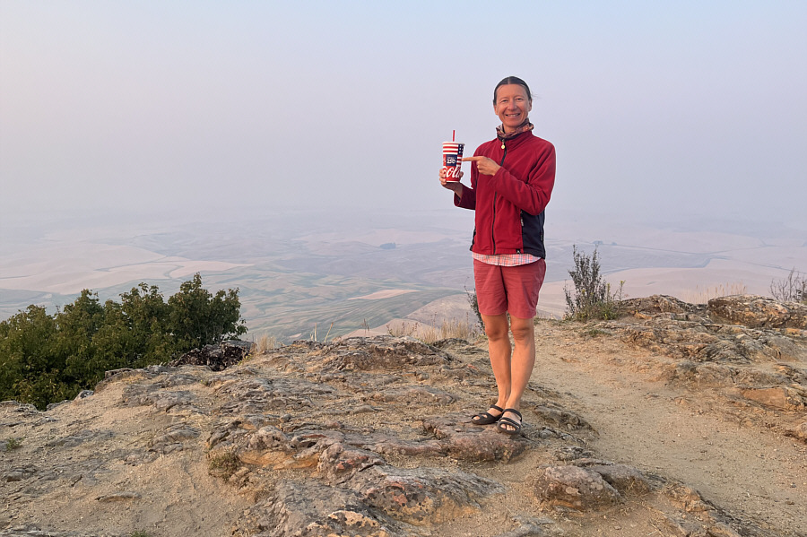
In a day full of butte-bagging, Zosia and I could not resist bagging one more when we paid a visit to Steptoe Butte State Park Heritage Site located about seventeen kilometres north of Colfax.  Steptoe Butte first caught my eye this past spring when I spotted it on the horizon while we were scrambling on the Rocks of Sharon near Spokane.  A paved access road runs all the way to a parking lot at the top (Discover Pass required) which makes the ascent of Steptoe Butte even simpler than Fuzzy Butte.  Unfortunately, far-reaching views were limited on this day due to wildfire haze, and once we tagged the summit benchmark, we simply drove back down the access road and headed to our camp for the night.
Zosia would drive us to the top of Steptoe Butte! Zosia stops to touch a wheat field along the access road to Steptoe Butte (left).

Photo courtesy of Zosia Zgolak

Na zdrowie! Zosia holds a soda cup commemorating the US Semiquincentennial (250th anniversary of the US Declaration of Independence) on the summit benchmark of Steptoe Butte (1101 metres).