 |
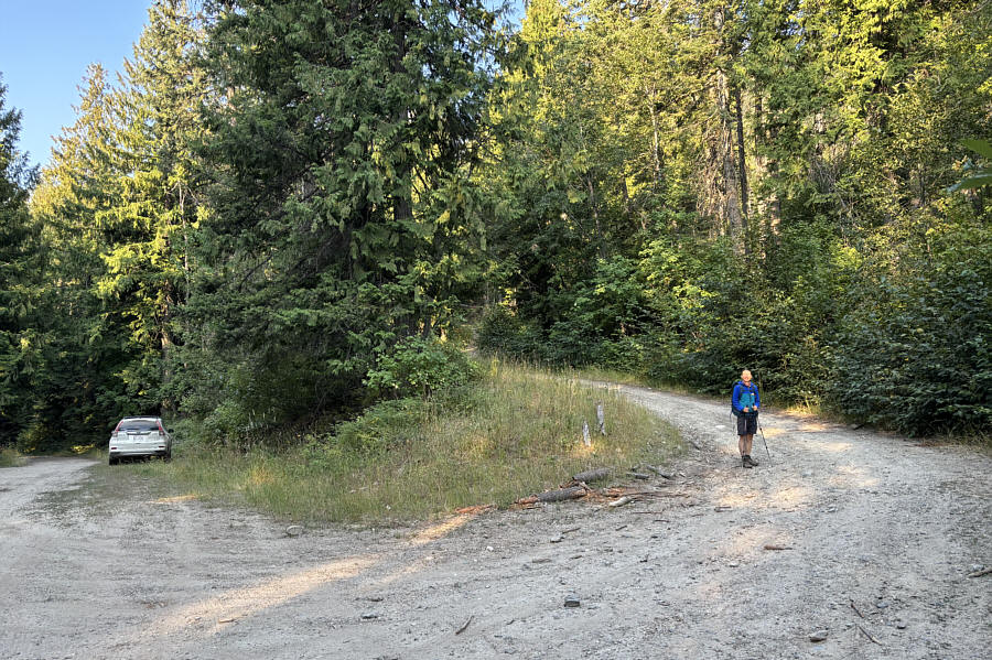
Zosia begins hiking along a spur road branching off from the main access road (USFS 2642). |
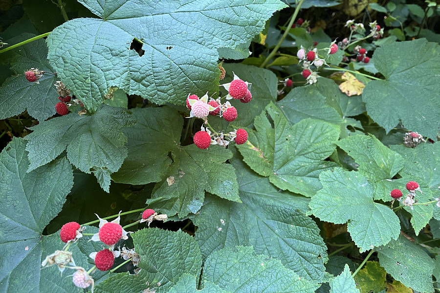 |
Thimbleberries are abundant along the spur road. Photo courtesy of Zosia Zgolak |
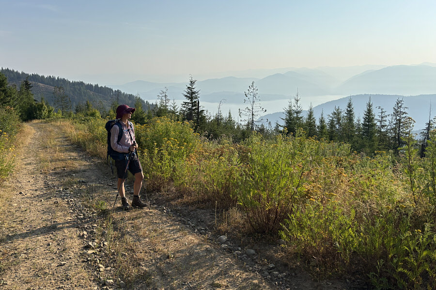 |
Although Lake Pend Oreille is visible from the spur road, wildfire haze obscures more distant peaks. |
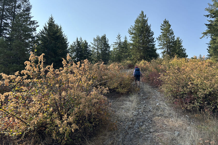 |
Some of the bushes here live up to the mountain's name. |
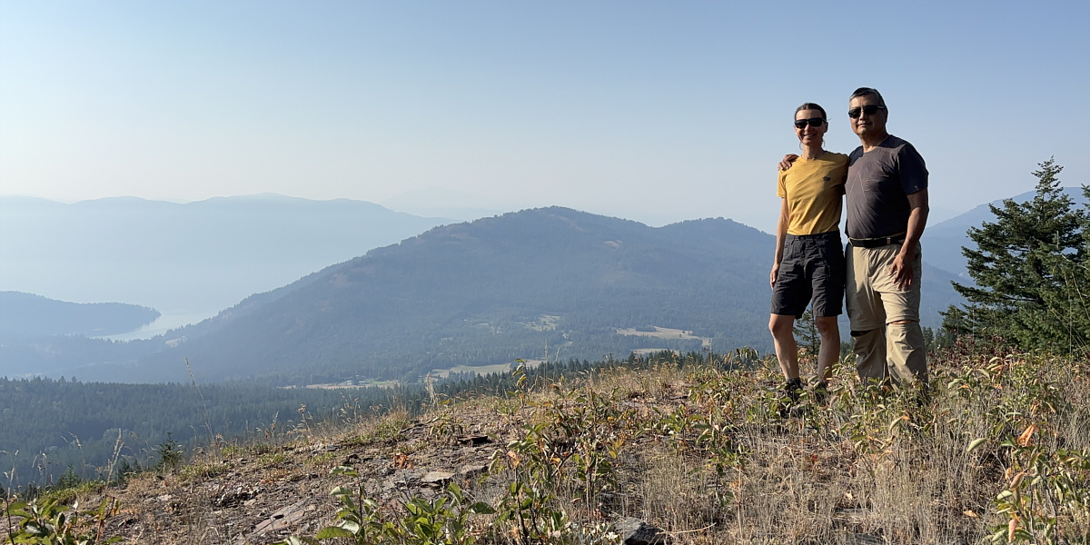
Zosia and Sonny pose at a viewpoint not far from the top of Gold Mountain. At centre is Grouse Mountain, and further in the distance to the left is Packsaddle Mountain.
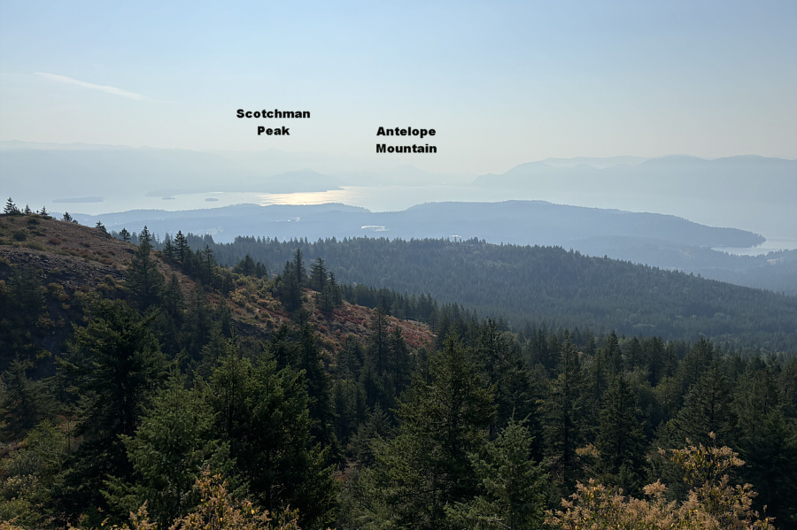 |
This is looking east from near the top of Gold Mountain. |
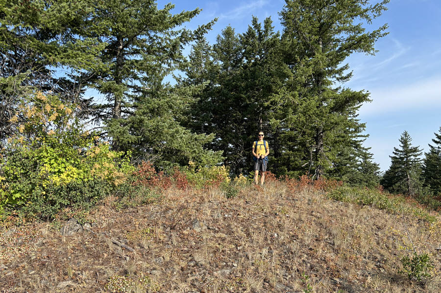 |
Zosia stands on the actual summit of Gold Mountain (1276 metres). |
When we resumed hiking, Zosia and I descended the dirt bike track back to the split. We were not entirely sure where the right branch went (I did not read Nimke's report as carefully as I should have), but we decided to take a chance and head that way figuring that, at worst, we would have to do some bushwhacking to get back to our car. We did not go very far before reaching another split. Once again, we followed our instincts and chose the right-hand trail which we followed downhill before popping out onto the spur road near the vehicle gate (we completely missed this trail when we passed this way earlier in the day). A short walk down the road to our parked car concluded our hike.
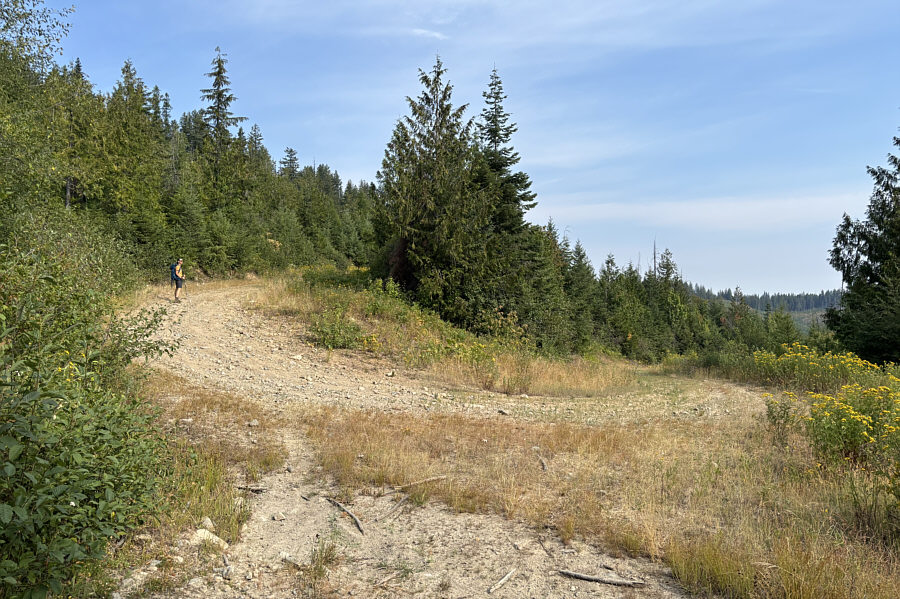 |
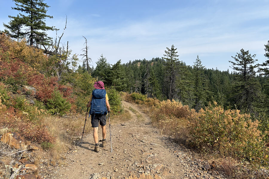
Zosia returns to the spur road and follows it uphill at a switchback. |
 |
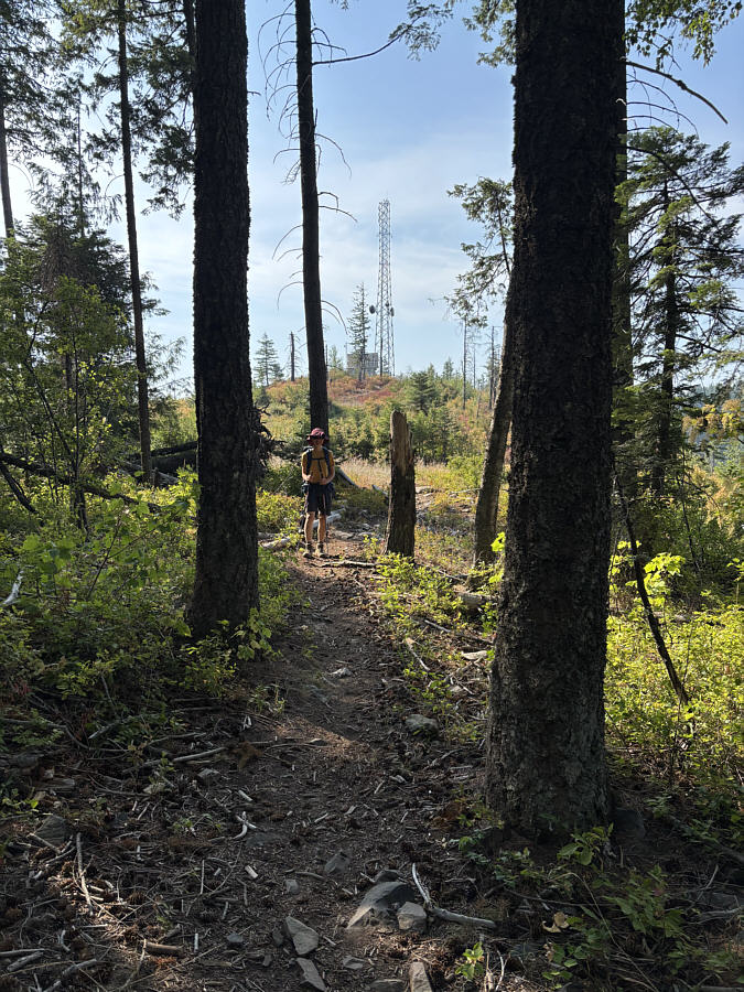
The spur road eventually leads to the south side of Gold Hill which is visible ahead. |
 |
Leaving the spur road again, Zosia follows a convenient trail heading into the forest. |
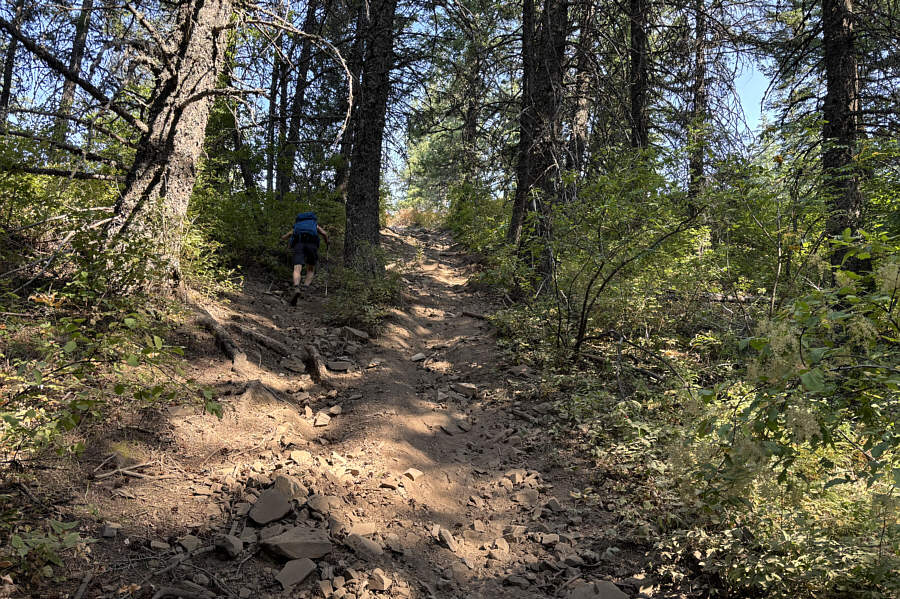 |
The trail going up the south side of Gold Hill is very steep and loose. |
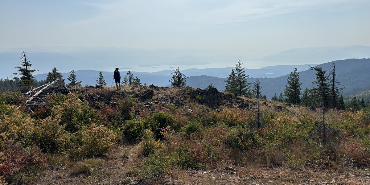
Despite being lower, the top of Gold Hill is seemingly more open than that of Gold Mountain.
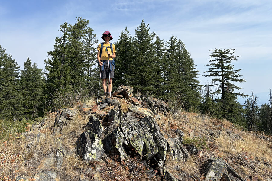 |
Zosia stands on the high point of Gold Hill (1233 metres). |
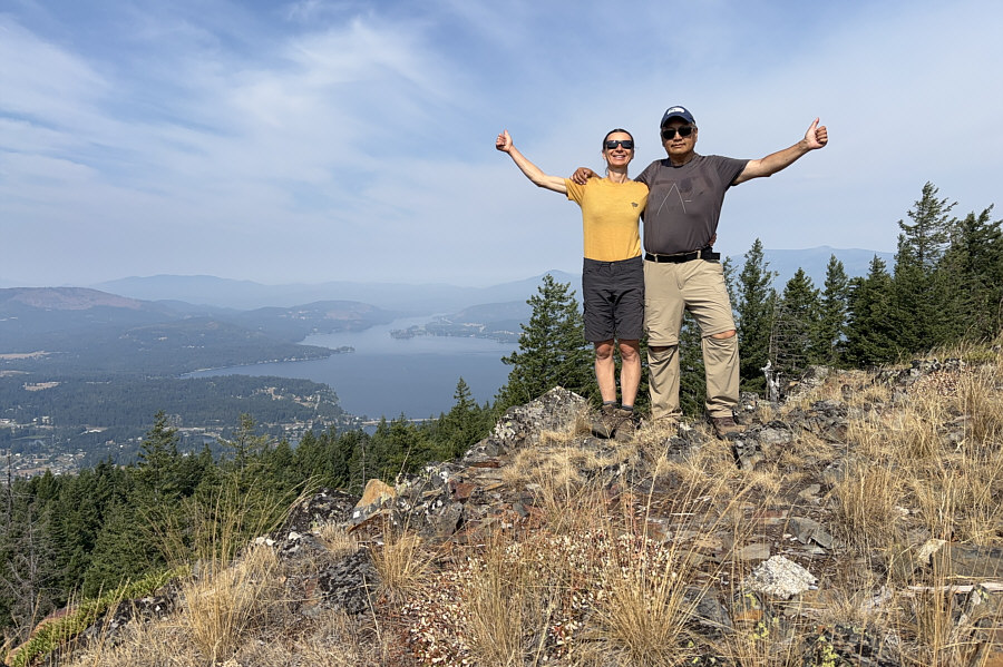 |
Zosia and Sonny give thumbs up for being able to see the west end of Lake Pend Oreille. |
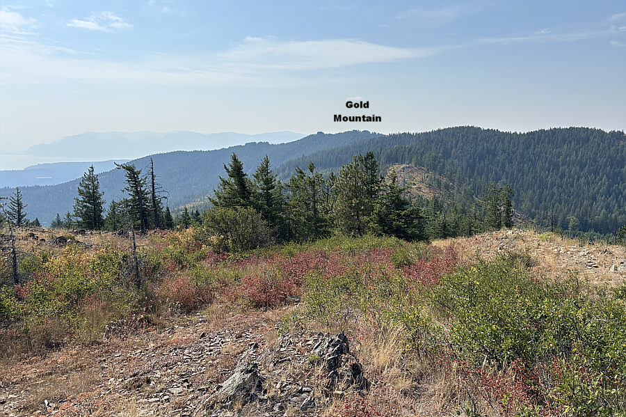 |
Here is the view to the south from the top of Gold Hill. |
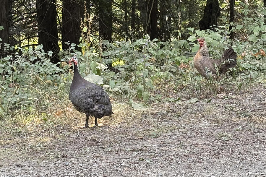 |
A guinea fowl and chicken roam freely on the side of Sky Meadow Road. |
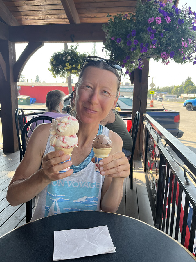 |
Zosia enjoys some ice cream at Clark Fork Pantry. |
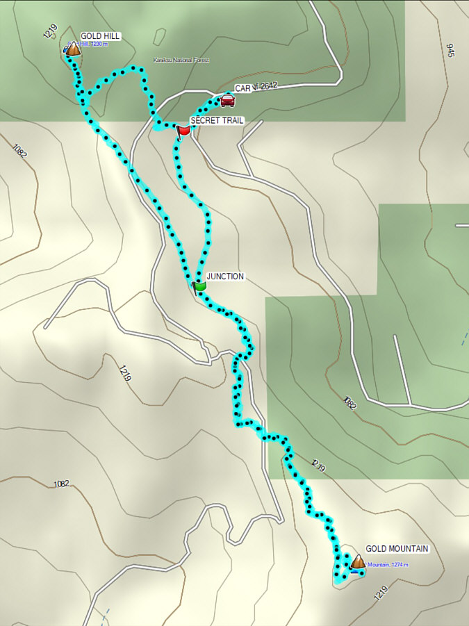 |
Total Distance: 7.8 kilometres Round-Trip Time: 3 hours 34 minutes Cumulative Elevation Gain: 263 metres |