On 31 October 2026, Zosia Zgolak and I
organized yet another Halloween-themed hike to some unnamed ridges near
the south end of Alberta's Ghost Public Land Use Zone (PLUZ). When
we traversed "Lesueur
Ridge Plus" (LRP) earlier in the year, I was intrigued by some
additional high points to the west and north that we skipped, and this
seemed like a good excuse to re-visit the area. Expanding on my
naming of LRP, I have taken the liberty to collectively call these
additional high points "Lesueur Ridge Double Plus" (LRDP). This is
partly a nod to George Orwell's novel 1984 which, in keeping with
the Halloween theme, has some horrifying elements. As with LRP, I
planned a loop route for LRDP based on satellite imagery and prayed that
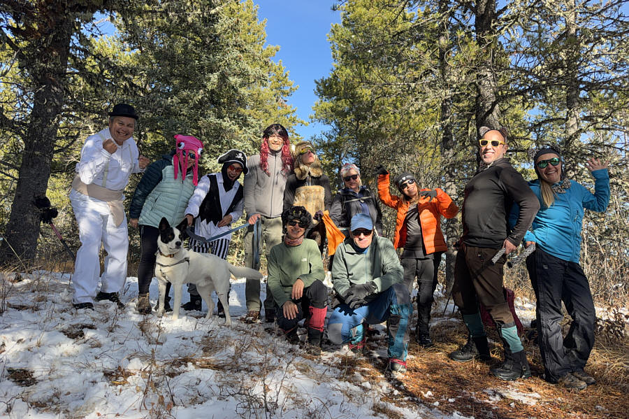
it did not entail any nightmarish bushwhacking. Joining us for this
year's Halloween adventure were Barbara Golya, Agnieszka Krolikowska,
Jacek Krolikowski, Shaun Luong, Rob Orchiston, Leslie Pryslak, Aga
Sokolowska, Dana Zlenko Eisentraut, Dale (Barbara's boyfriend) and
"Murray" (Dale's dog).
From Highway 1A, turn north onto Highway 40, 11.1 kilometres west of
the intersection with Horse Creek Road in Cochrane or 36.3 kilometres
east of the intersection with Highway 1X. Drive 24.2 kilometres
through the village of Waiparous to the junction with Richards Road
(Range Road 74) and keep right. Continue northward for another 2.8
kilometres to the Ghost PLUZ boundary where the pavement ends and becomes
2WD gravel at a Texas gate. Drive another 1.6 kilometres and turn
left into South Ghost Provincial Recreation Area (trailhead with vault
toilets). Park here.
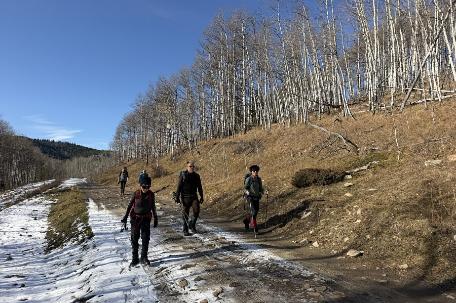
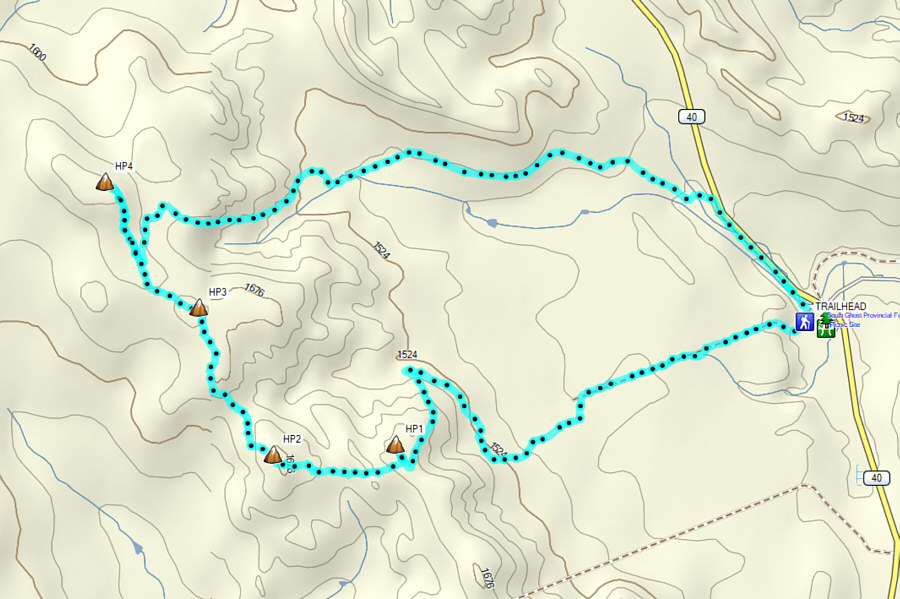
From the trailhead, our motley group proceeded westward along a dirt road
and soon merged with an east-west cut line. Except for a brief
detour to cross a bridge over a small creek, the dirt road follows the
cut line for a little over a kilometre before veering off and making some
sweeping turns up the north end of LRP. Other than having to step
aside briefly to let a couple of monstrous-sounding ATVs pass us, we had
no issues hiking all the way up to the ridge crest. At a junction
where the road begins to descend the west side of the ridge, we stayed
right and walked about 150 metres along the crest to the northern high
point (HP1) of LRP. After a brief pause here, we returned to the
junction and followed the road down the west side of the ridge.
Before bottoming out, we abandoned the road and climbed through a cut
block to another high point (HP2) which can be considered the south end
of LRDP. We then turned northward and muddled our way across a dip
in the ridge before intersecting a well-defined trail. Following
this trail, we went over yet another high point (HP3) and across a second
shorter dip before arriving at a junction with an exploration road
dropping down the east side of the ridge crest. Ignoring the road
for the time being, we stayed on the ridge crest and easily ascended the
final section of trail to the highest point (HP4) of LRDP. There
are no far-reaching views here, but we stopped anyway to gnaw on some
bones since the forest provided good shelter from a chilly breeze.
When we had our fill of
Hufu,
the group backtracked to the junction and descended the exploration road
even though we were not entirely sure where it would end up. As it
turned out, the exploration road led us efficiently to a swampy cut line
which we then followed out to an OHV road. After watching a couple
of suspicious pickup trucks slowly roll past, we followed suit by hiking
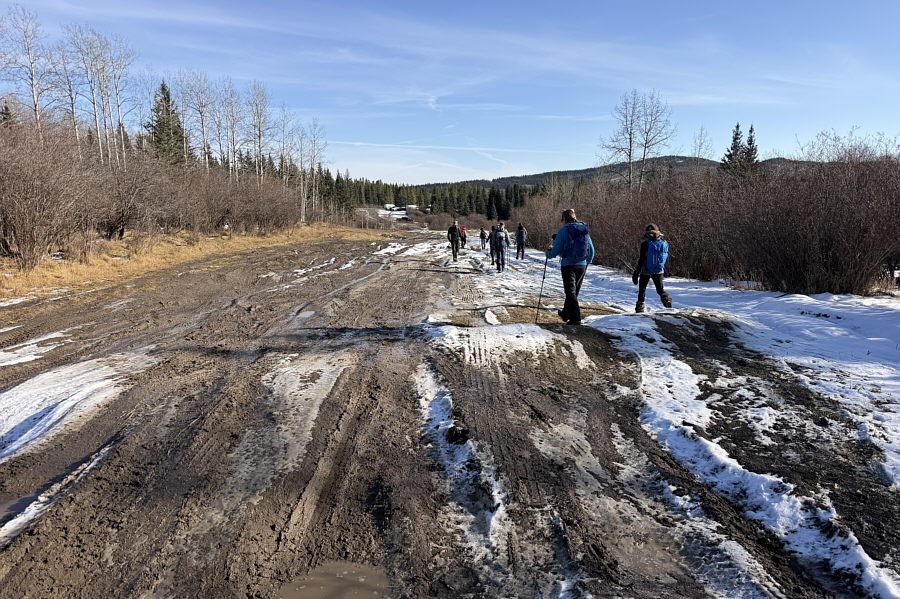
eastward along the muddy OHV road for about 1.8 kilometres to its
junction with the forestry trunk road (Highway 40). Turning right,
we completed our loop by shambling another 900 metres to the trailhead.
I wish to thank Rob for driving Zosia and me to the trailhead, and an
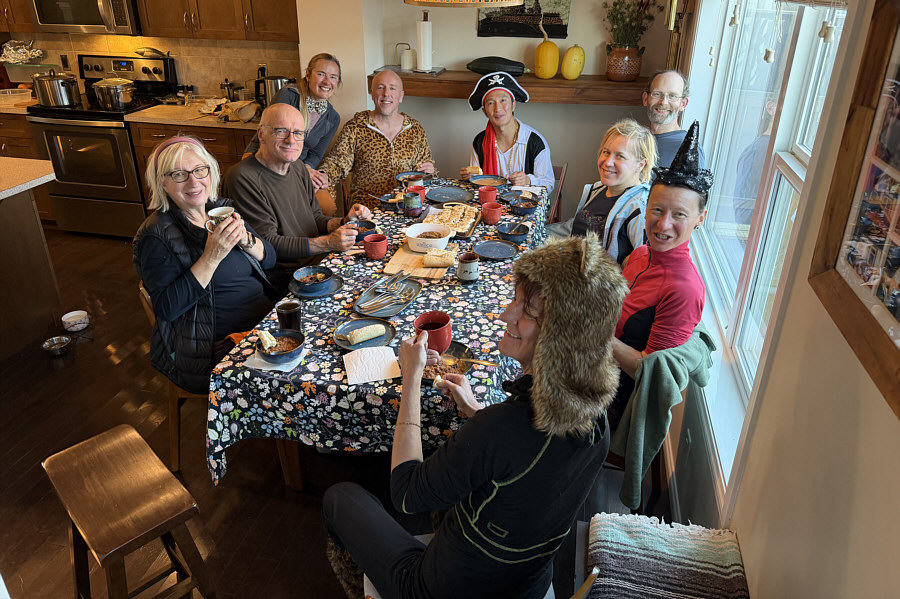
extra big thank you goes to Aga for hosting a fun Halloween party at her
place after our hike.
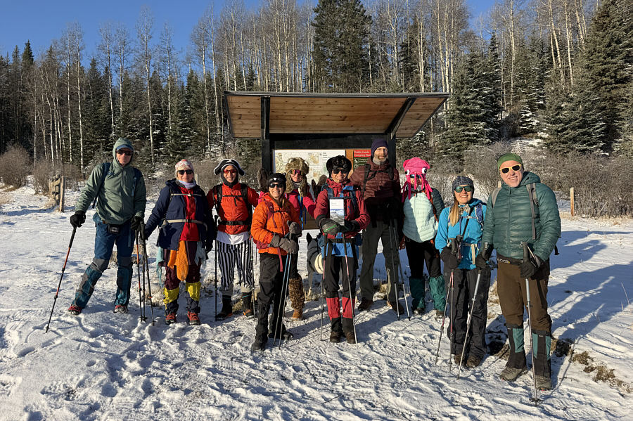 |
A motley crew of characters gathers at
the trailhead on this sunny but chilly morning. |
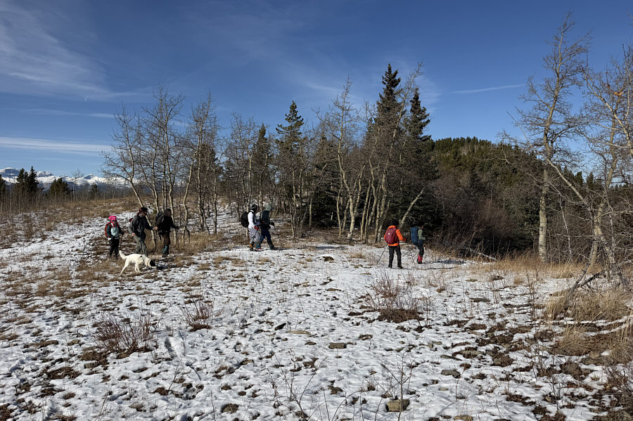
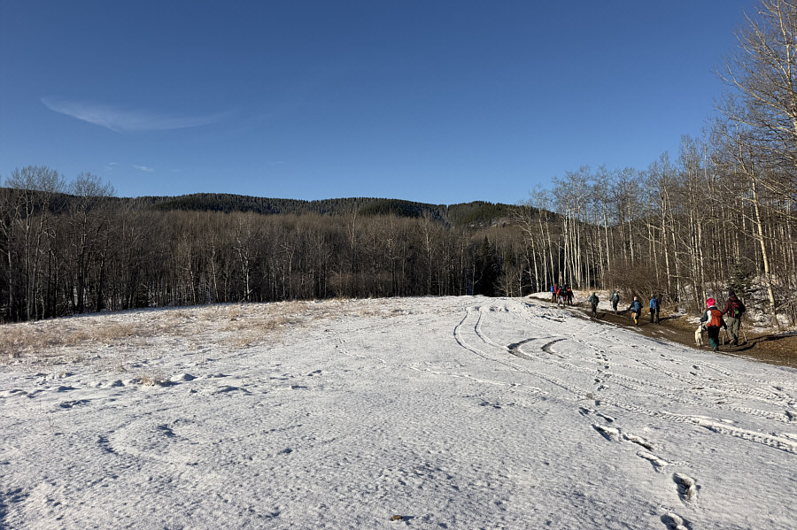 |
The group follows a dirt road along a cut line heading toward "Lesueur
Ridge Plus" (LRP) in the distance. |
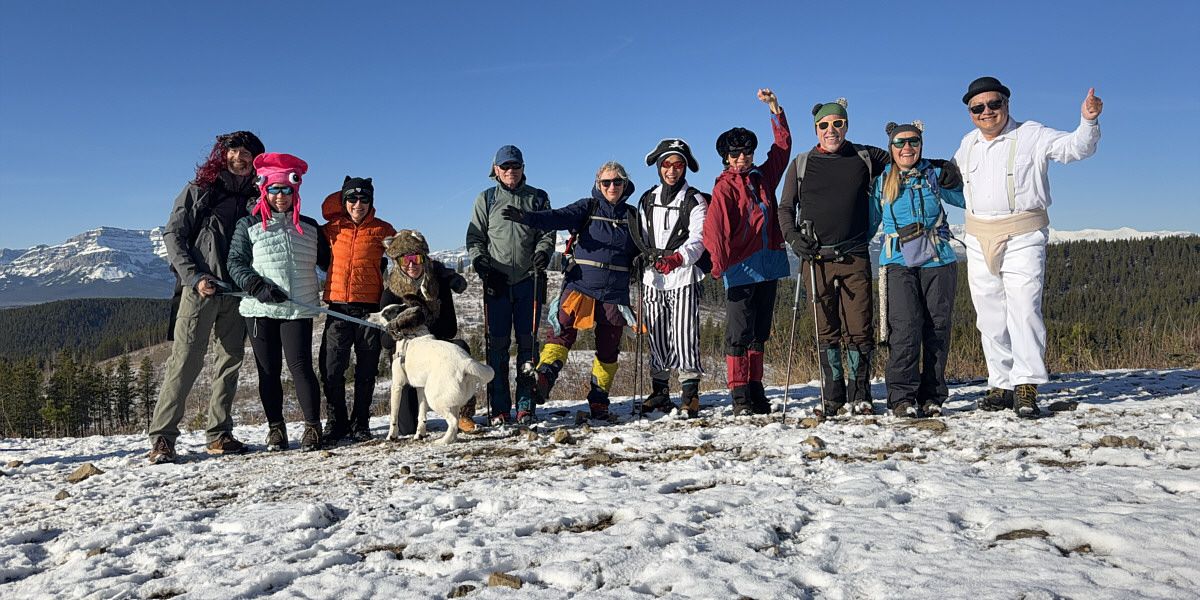
On the northern high point (HP1; 1679 metres) of
LRP are (L to R) Dale, Barbara, Leslie, Dana (and
"Murray"), Jacek, Agnieszka, Shaun, Zosia, Rob, Aga and Sonny.
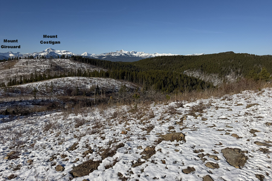 |
Looking west from HP1, the
highest point of "Lesueur Ridge Double Plus"
(LRDP) is the forested bump at far right. |
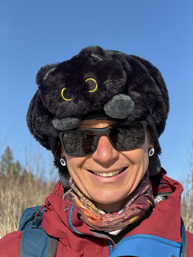 |
Unlike the famous Dr. Seuss
book,
this is "The Hat In The Cat"! |
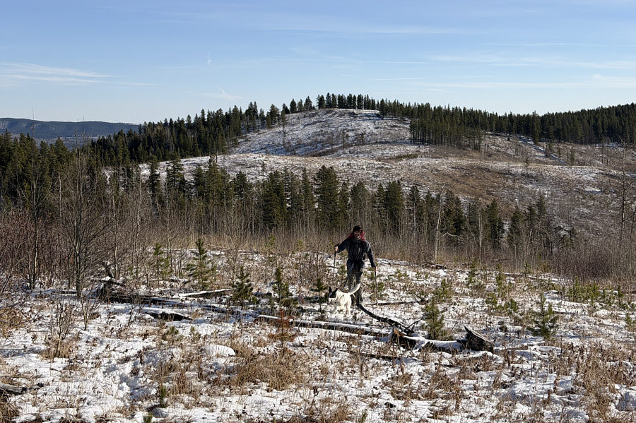 |
This is looking back at HP1 as
wild-haired Dale
and Murray climb up LRDP to the west. |
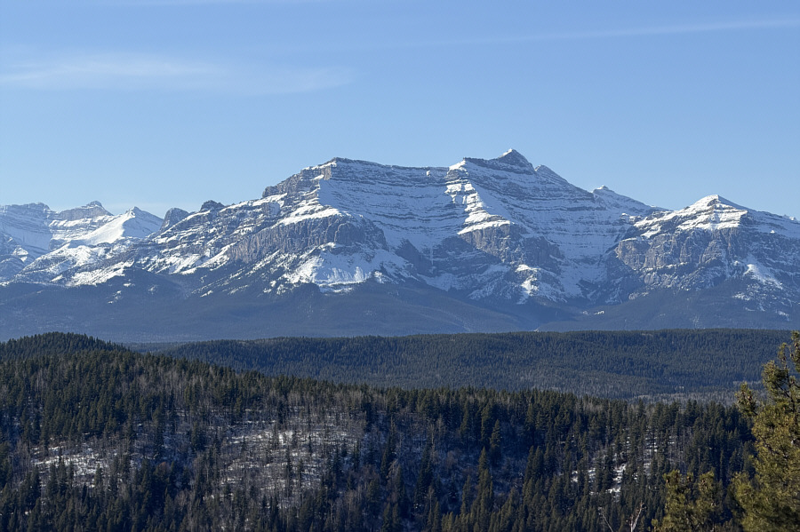 |
Here is a zoomed-in view of
Orient Point
to the southwest from one of the many open sections along LRDP. |
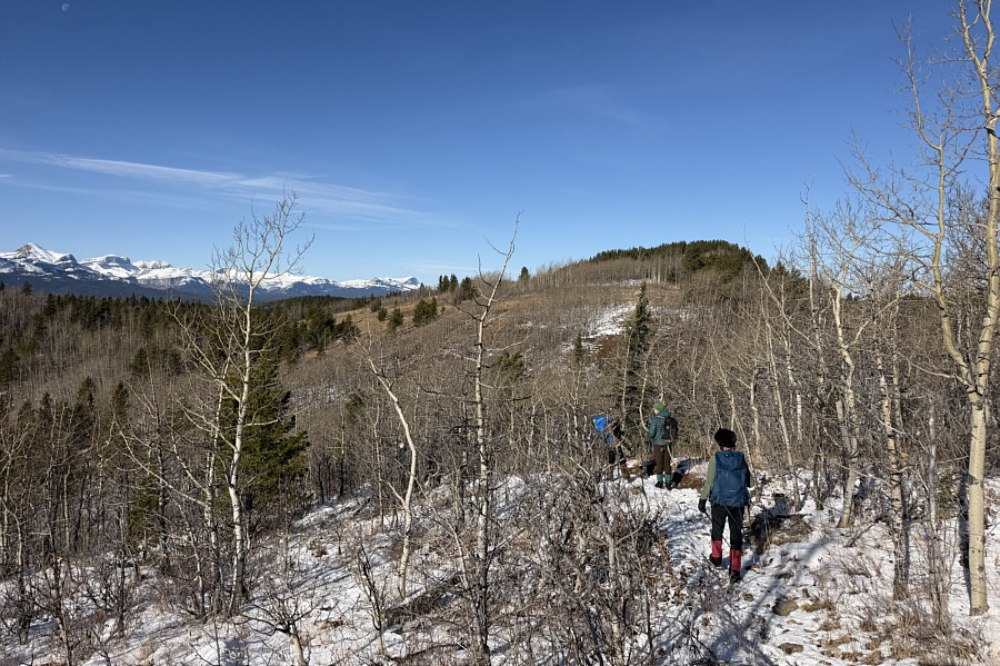 |
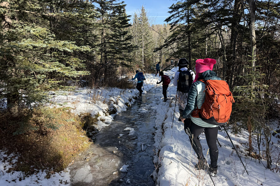
The group follows a well-defined trail northward
along the crest of LRDP. The highest point is visible ahead. |
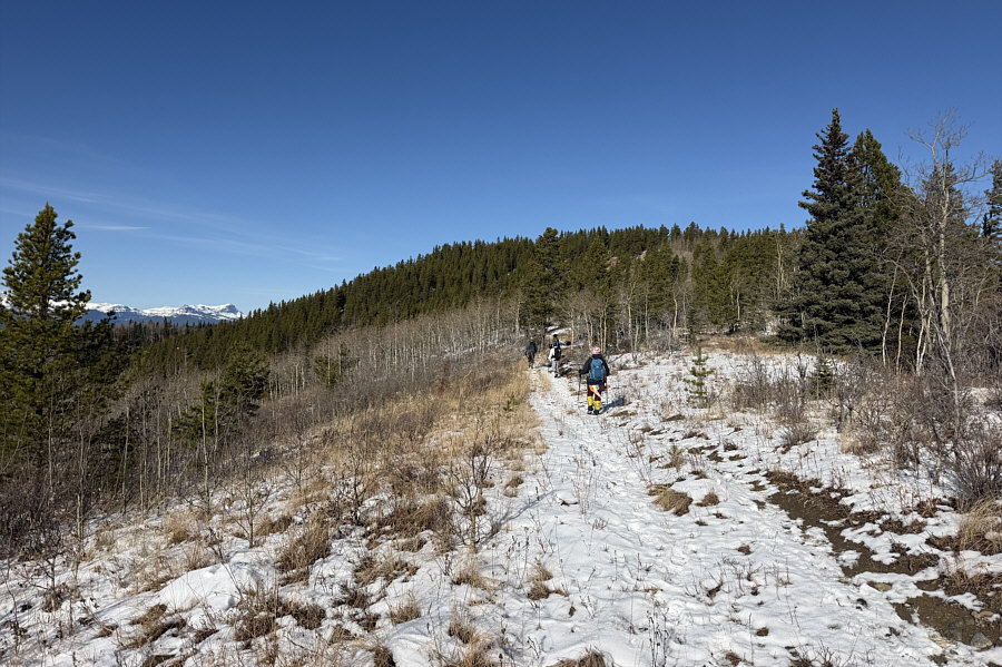 |
The group makes its final approach to
the highest point. |
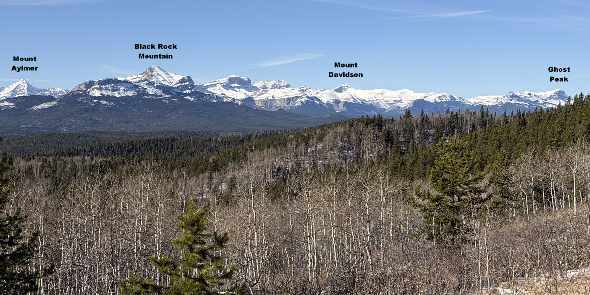
Here is a view to the northwest from an open section of
trail just before the highest point.