 |
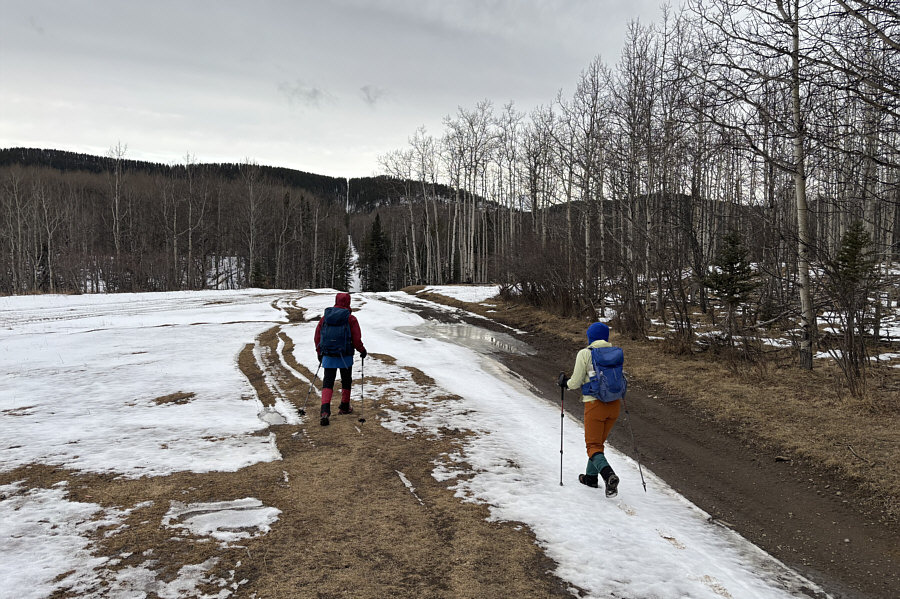
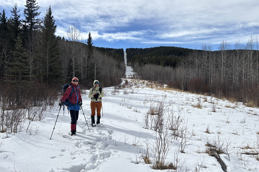
Zosia and Aga follow a dirt road along a cut line heading toward "Lesueur Ridge Plus" (LRP) in the distance. |
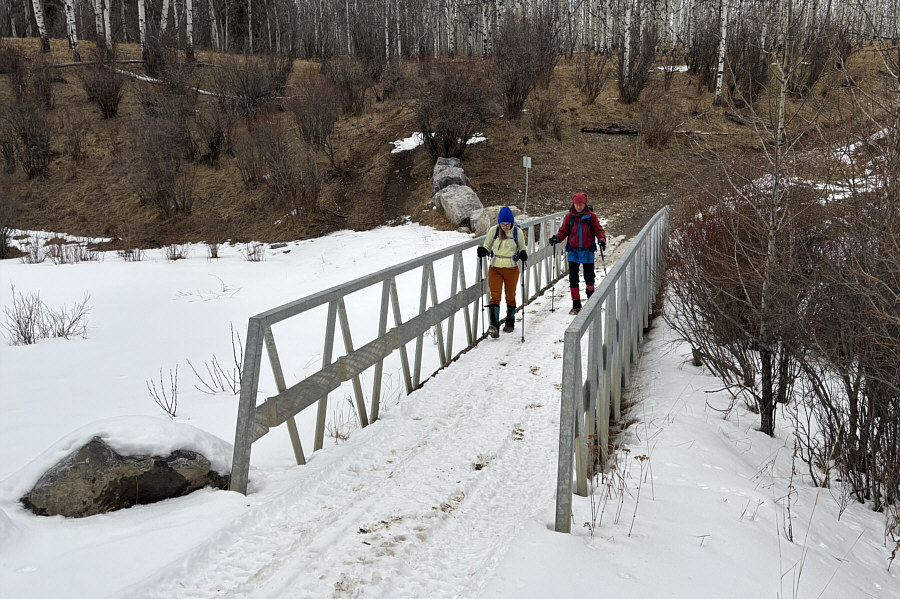 |
Aga and Zosia cross a bridge over a small creek that is buried under snow. |
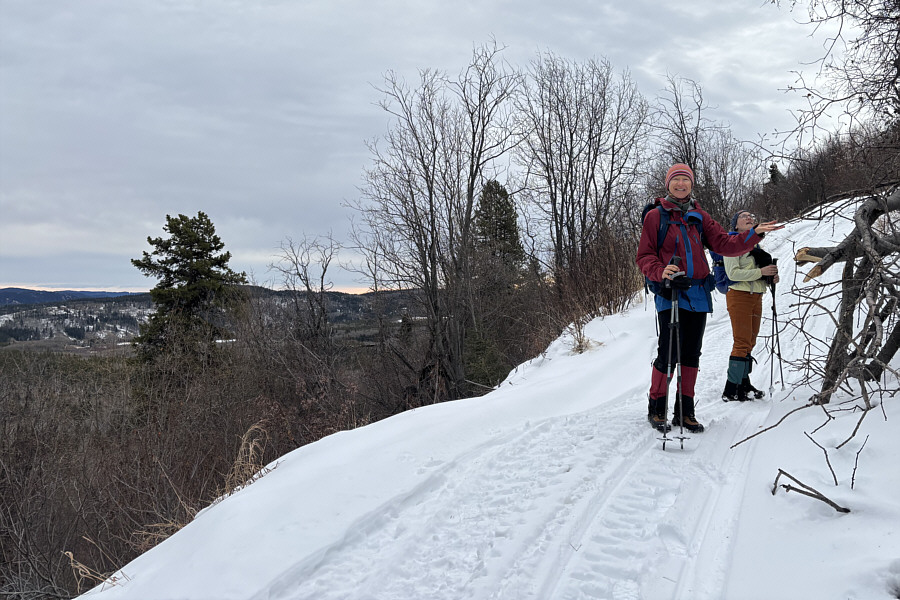 |
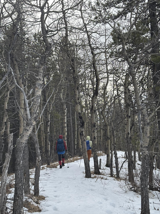
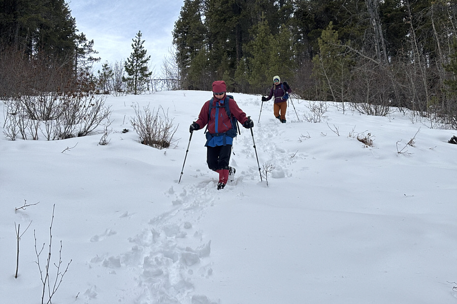
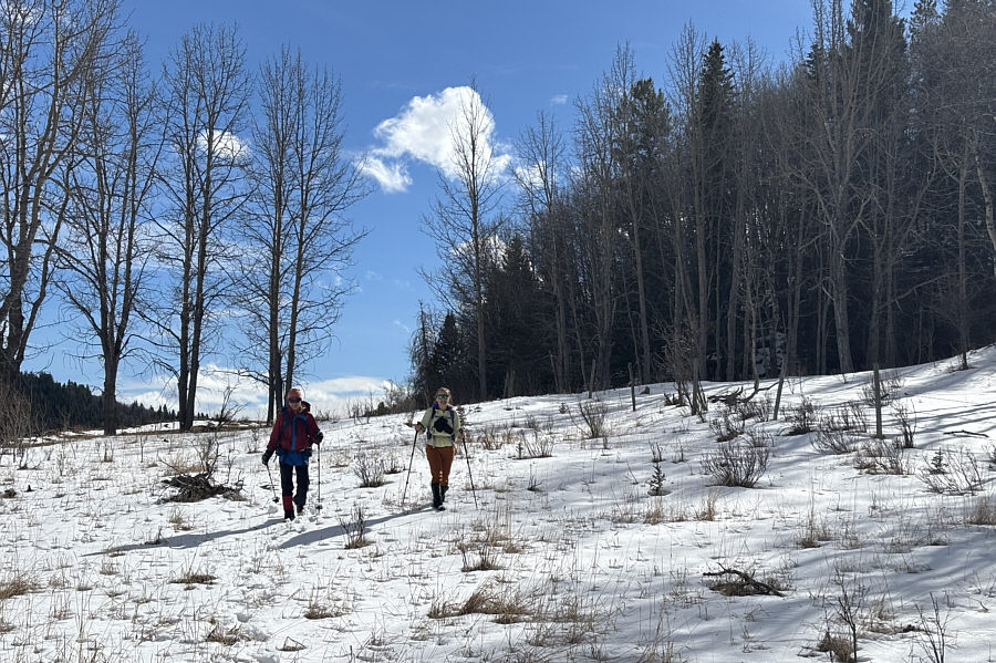
Zosia and Aga pause for a moment while climbing the road leading to the crest of the ridge. |
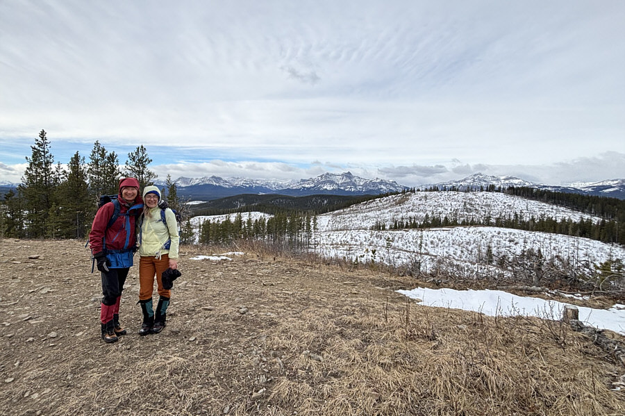 |
Zosia and Aga reach the surprisingly scenic northern high point (HP1; 1680 metres) of LRP. |
 |
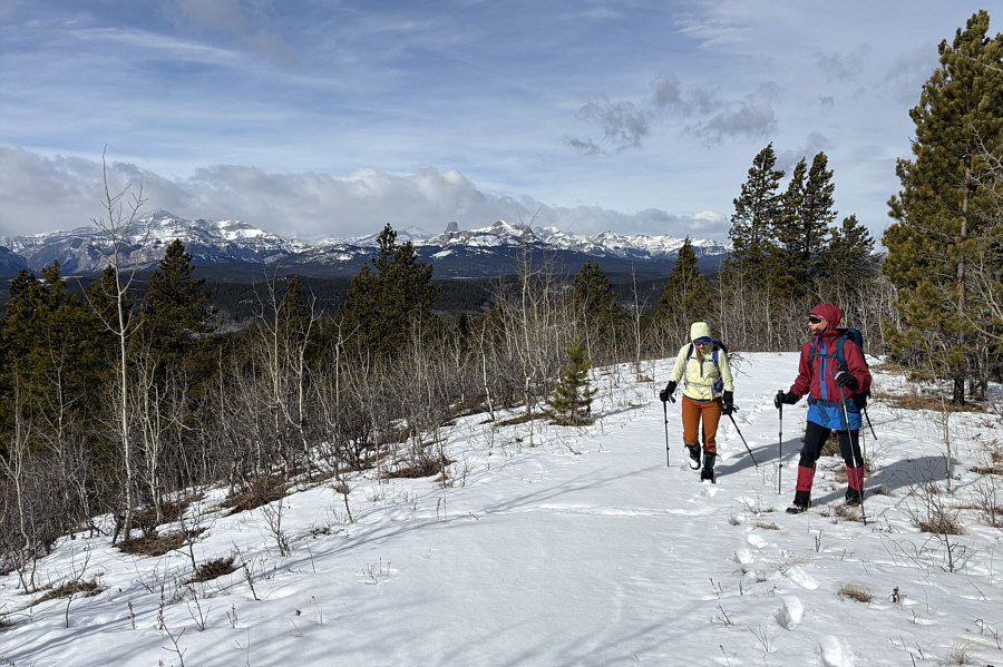
Zosia and Aga hike southward along the crest of the ridge. |
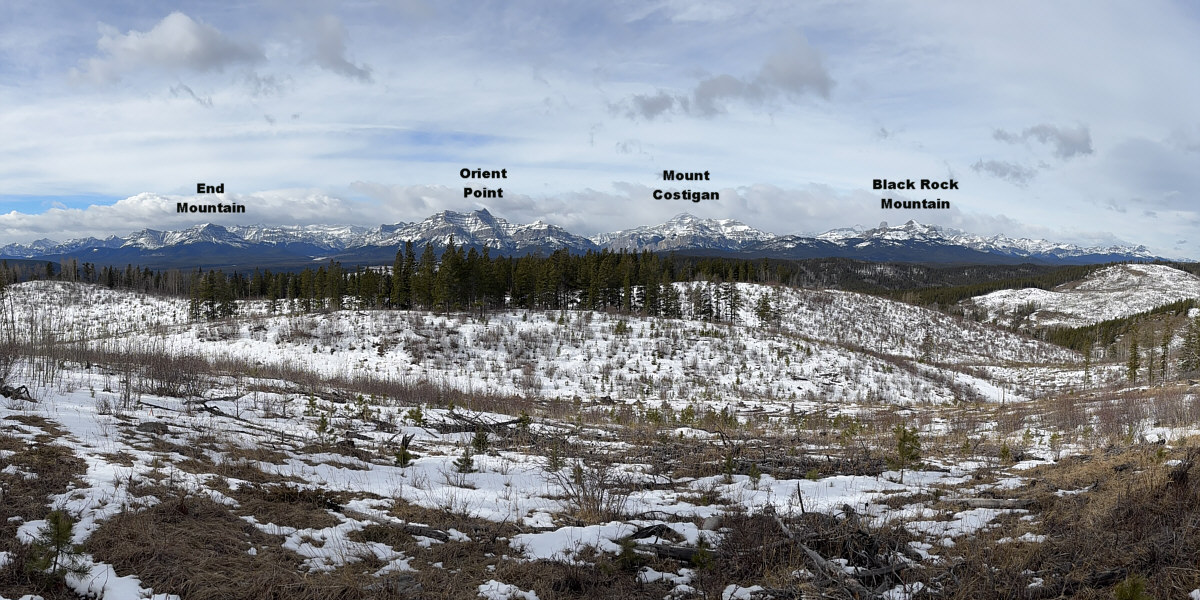
A clearing along the ridge crest grants this panoramic view to the west.
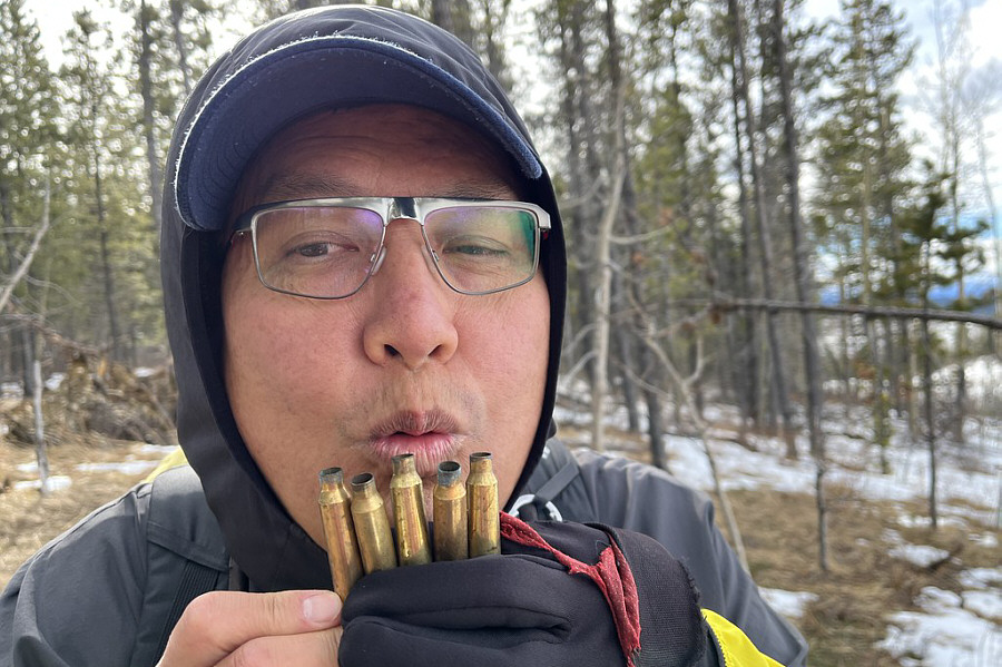 |
Who knew that bullet shell casings
could be turned into a
pan flute? Photo courtesy of Zosia Zgolak |
 |
Aga and Zosia arrive at the first (HP3; 1717 metres) of two equally tall high points at the south end of LRP. |
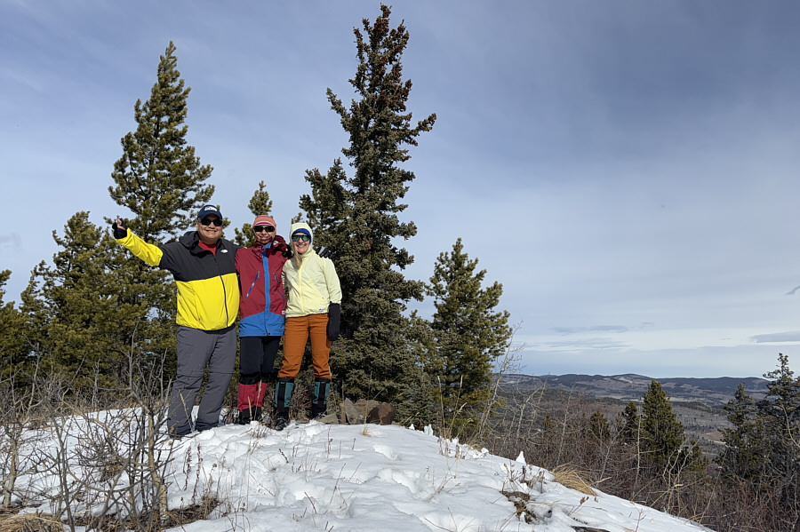 |
Sonny, Zosia and Aga stand on the second high point (HP2; 1717 metres) at the south end of LRP. |
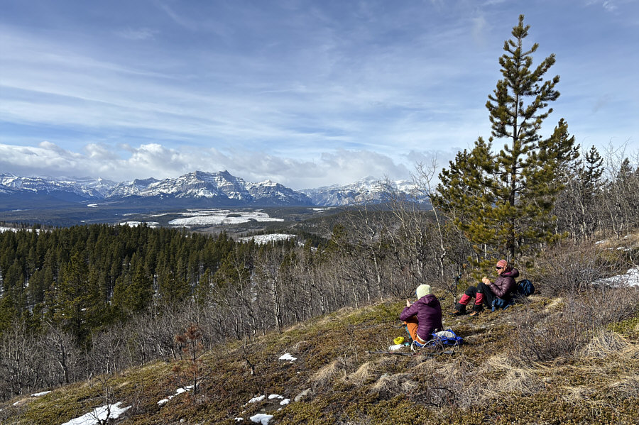 |
Aga and Zosia find a nice spot for a lunch break. |
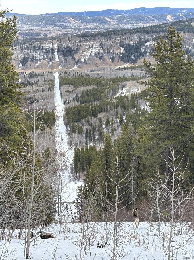 |
A mule deer stands near the top of a second cut line which Aga, Zosia and Sonny will use for their descent. |
 |
The snow in the second cut line is surprisingly deep. |
 |
Here is a look back at the second cut line which Zosia and Aga just descended. |
 |
Zosia and Aga hike the final leg of the loop before the trailhead. |
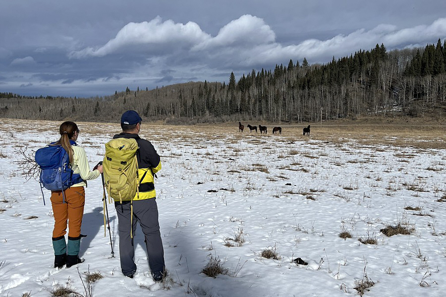 |
Aga and Sonny observe a herd of wild
horses grazing nearby. Photo courtesy of Zosia Zgolak |
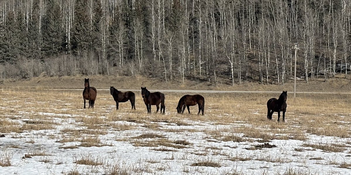
Here is a closer look at the wild horses.
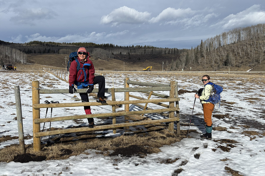 |
Zosia and Aga have to climb over this fence at the trailhead parking area. |
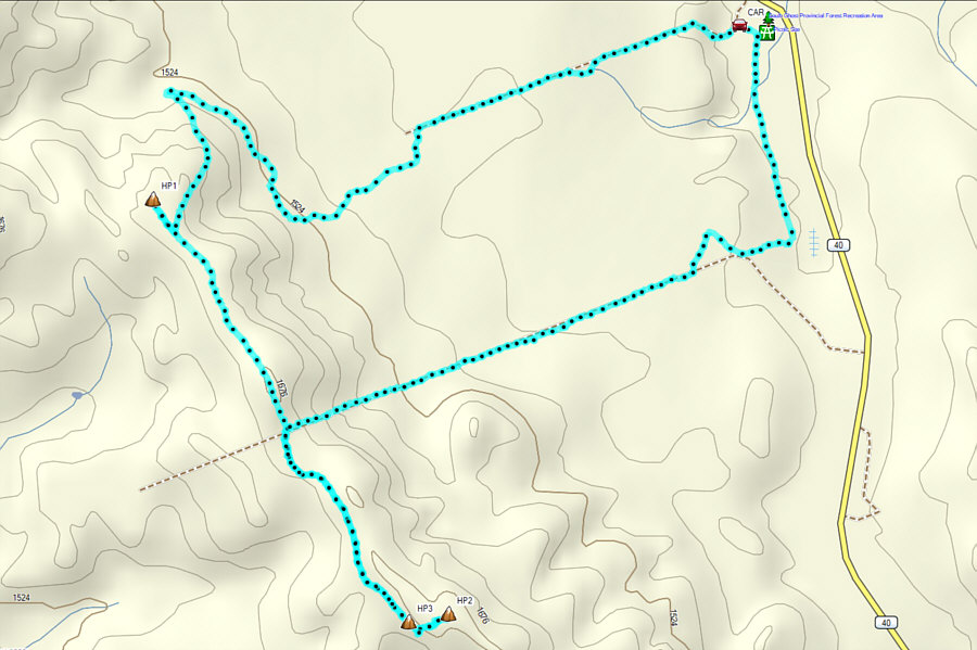 |
Total Distance: 11.3 kilometres Round-Trip Time: 6 hours 4 minutes Cumulative Elevation Gain: 295 metres |