BOU AVENUE
Raven's Crag
With an iffy weather forecast in the
mountains on 12 September 2026, Zosia Zgolak and I opted for a short,
non-committing hike to Raven's Crag located at the north end of the
Sulphur Mountain massif in Alberta's Banff National Park.
Raven's
Crag is a local climbing spot that mostly appeals to sport climbers,
but the access trail can be utilized by hikers to reach some nice
viewpoints overlooking the Bow Valley. Not being climbers, we had
never heard of Raven's Crag until only recently, and although I had low
expectations, the hike turned out to be highly enjoyable. Best of
all, hardly anyone comes here despite its close proximity to the busy
Cave and Basin National Historic Site and the popular trail to Sundance
Canyon.From the Cave and Basin
parking lot (51.16959, -115.58911), we walked past the Cave and Basin buildings and briefly
followed the paved trail to Sundance Canyon. About 300 metres west
of the trailhead information sign board, we veered left from the pavement
onto what was once a forested trail--the same one used to access
Philosopher's Knoll. The trail is still there, but the forest is
now gone as a result of recent measures taken by Parks Canada to mitigate
the threat of potential wildfires to the Banff townsite and local
infrastructure. About 200 metres up this trail, we turned left
(south) into an obvious fire break. There was a cairn wrapped with
flagging tape here, but we were not sure if it was the start of the trail
to Raven's Crag or just a marker delineating the boundary of a
closed area behind the Cave and Basin. In any case, the fire
break looked more appealing to hike at least initially, but after hiking
that way for a short distance, we realized that we were heading toward a
dead end. We quickly scrambled up the slope to the east of the fire
break and immediately intersected a well-defined trail. Turning
right, we then settled into a pleasant hike up to Raven's Crag which is
characterized by steep rocky cliffs. Somewhat surprisingly, we did
not see anyone climbing here on this day.
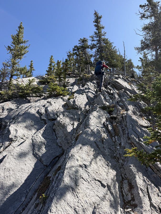
At this point, the pleasant trail
downgrades to more of a scrambling route with loose rocks and a bit of
exposure, but Zosia and I actually welcomed the extra challenge as we
worked our way up to an unobstructed viewpoint. This looked like an
ideal spot for a break, but still feeling energetic, we decided to push
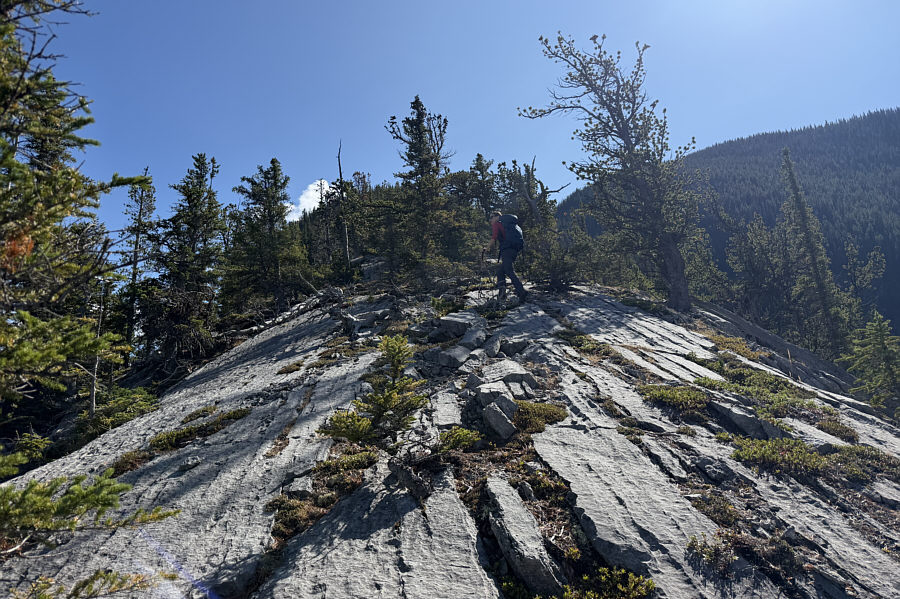
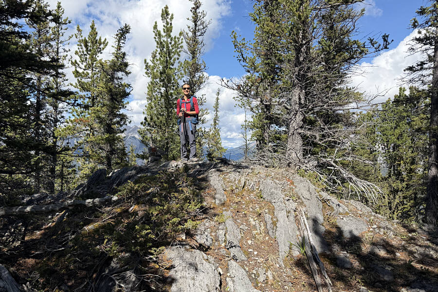
higher up the ridge and see how far we could go. We ended up
ascending almost another 300 metres higher to a shoulder of the Sulphur
Mountain massif, and although we could have conceivably continued all the
way to Sanson Peak,
we had no desire to join the crowds of tourists up there. Instead,
we turned around and descended back to the unobstructed viewpoint where
we finally stopped to have lunch.
After lunch, Zosia and I carefully
descended the scrambling route without
mishap. During our hike out, we were surprised to see a couple of
hikers come up the trail. They explained that they were searching
for a cave which we had missed in the vicinity of Raven's Crag. We
were already a fair distance below Raven's Crag at this point, and having
to climb back up just to see the cave held little appeal to us (a photo
of "Crystal Cave" can be found
here).
Given the shortness of this hike, we will likely return in the future
anyway and check out the cave then. Following the rest of the trail
out in its entirety, we encountered some deadfall near the very bottom
but ultimately ended up at the aforementioned cairn. The remaining
walk back to the Cave and Basin parking lot was short and easy.
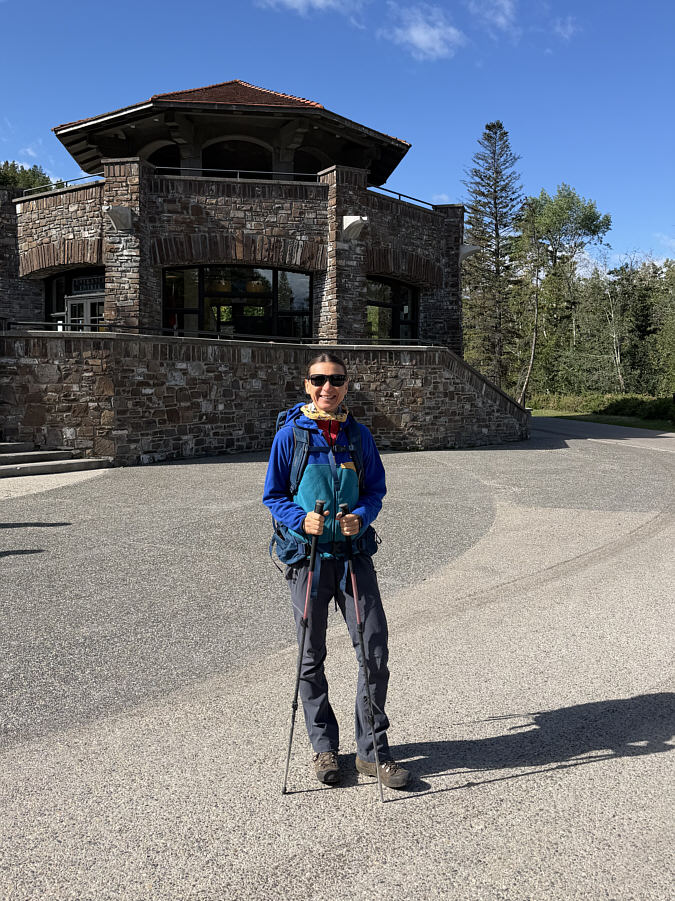 |
Zosia passes Cave and Basin National
Historic Site near the start of the hike. |
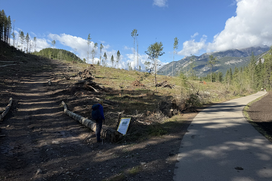 |
Zosia veers off the paved pathway onto a horse trail that used to be
forested not too long ago. |
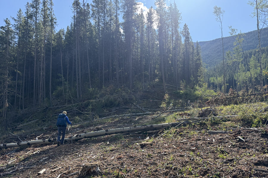 |
A barely visible cairn with flagging
tape (right of centre) marks the start of the trail to Raven's Crag,
but Zosia would forego the trail and enter the fire break
at far right. |
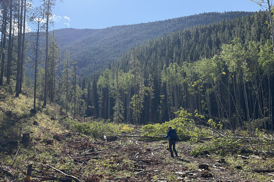 |
The fire break is initially easy to
hike through but eventually dead-ends under some cliff bands. |
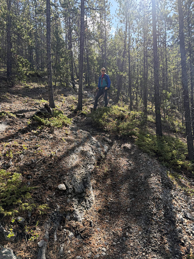 |
After a short off-trail climb, Zosia
gains the trail to Raven's Crag. |
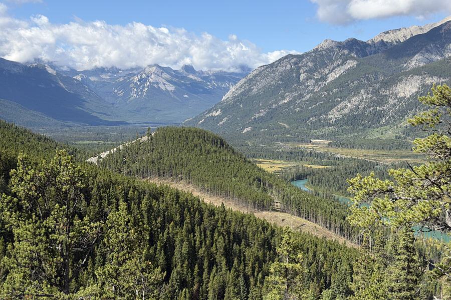 |
A break in the trees grants this view
of
Philosopher's Knoll. |
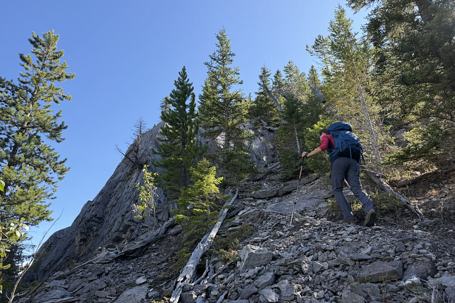 |
Zosia approaches the climbing zone for
which Raven's Crag is named. |
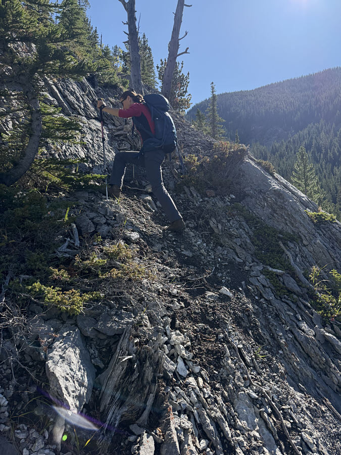 |
The trail becomes more of a scramble
route at this point. |
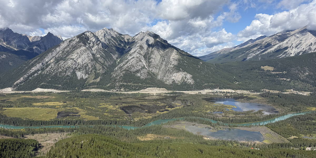
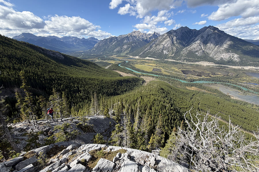
An unobstructed viewpoint at Raven's Crag grants this
view to the north of Mount Norquay and Vermilion Lakes.
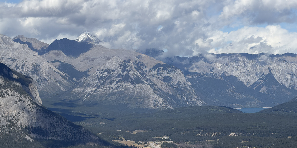
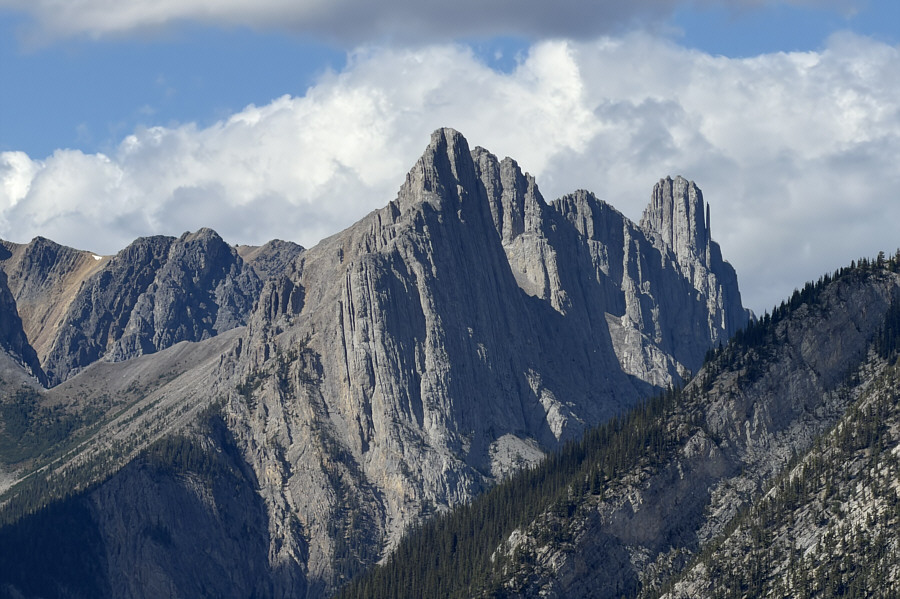
Snowy
Mount Aylmer
makes an appearance to the northeast as the clouds begin to lift. A
little bit of Lake Minnewanka is also visible.
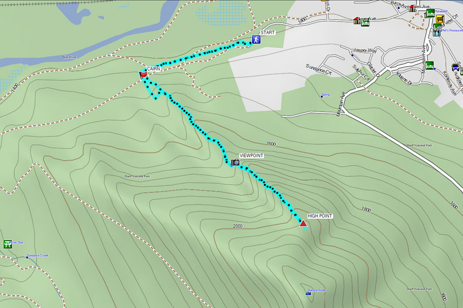 |
Total Distance: 6.0 kilometres
Round-Trip Time: 4 hours 24 minutes
Cumulative Elevation Gain: 636 metres
GPX Data |