BOU AVENUE
Stafne Ridge
With rain in the forecast just about
everywhere in the province on 30 May 2026, Zosia Zgolak and I headed to
the foothills west of Sundre, Alberta to hike an obscure and
non-committing objective known as Stafne Ridge. This is one of
several officially-named scrubby ridges in the region that probably hold
more appeal for equestrians and quad riders than for hikers, but all of
them are easy enough to ascend via ATV and logging roads. Local
"Peak Pirate", Brandon Boulier, has ascended all of them, and I used his
GPS track from
peakbagger.com to guide us up Stafne Ridge. Knowing how short
this trip would be, we also made plans to visit nearby Aspen Meadows disc
golf course after our hike.
From the intersection with Highway 22 at
the west end of Sundre, drive westward on Highway 584 for 16.8 kilometres
and keep straight (west) where the highway bends to the north.
Continue driving west along Township Road 330 (2WD gravel) for 3.8
kilometres to where it begins to bend south. We parked here, but a
determined driver could probably continue straight (west) on a rougher
exploration road (high-clearance vehicle recommended) for another 420
metres to the junction with an ATV road branching off to the right.
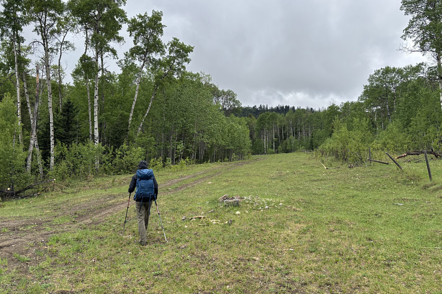
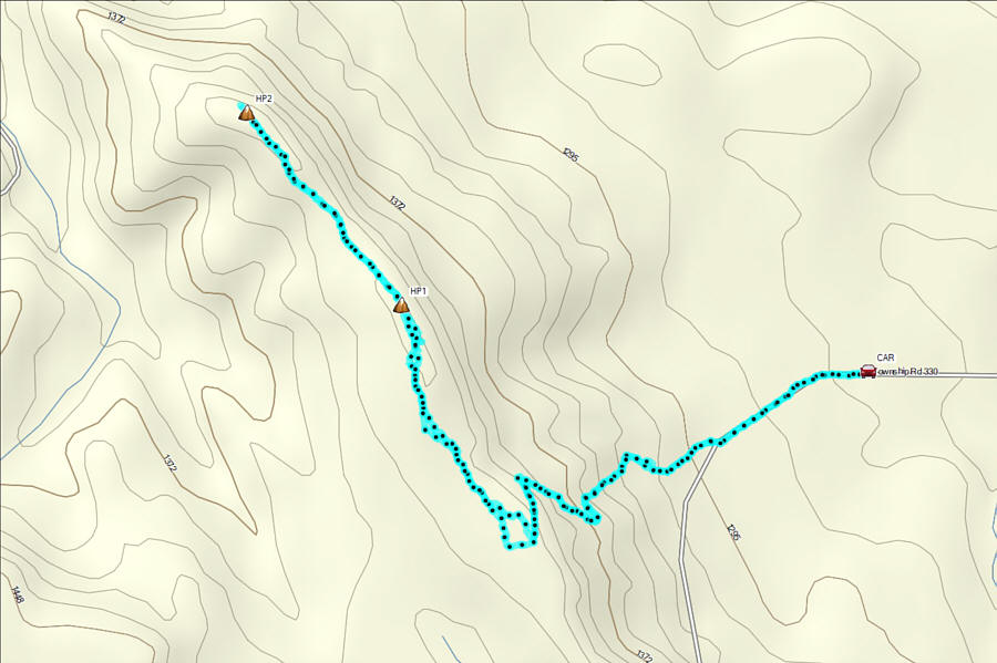
From the bend in Township Road 330, Zosia
and I hiked west along the branching exploration road and then turned off
onto the narrower ATV road as described in the driving directions.
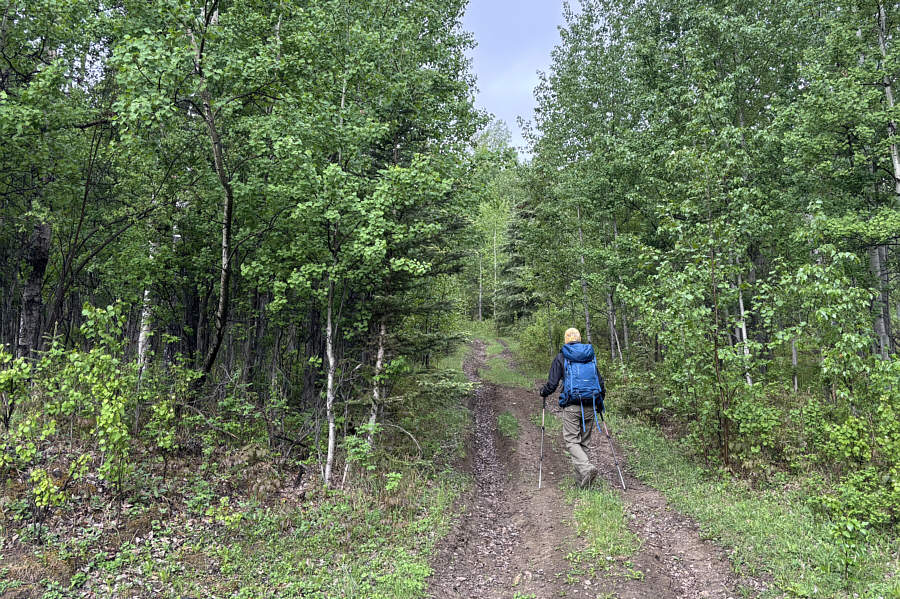
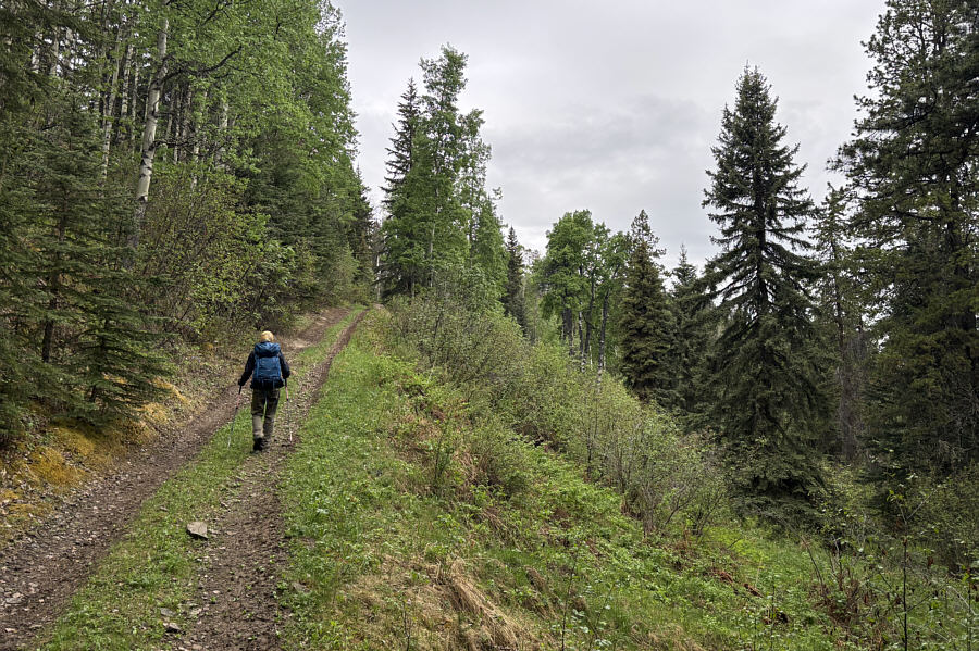
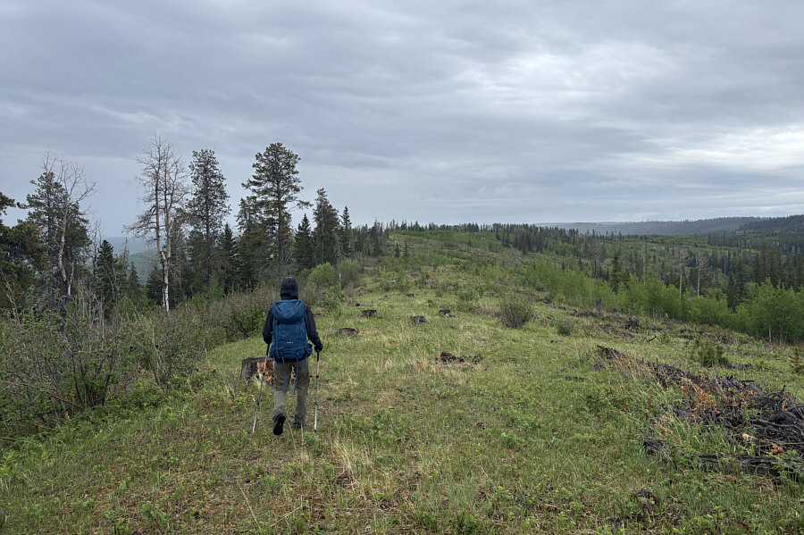
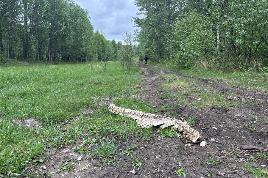
Aside from one large downed tree requiring a short detour, the ascent
of the ATV road up to the ridge crest was very straightforward.
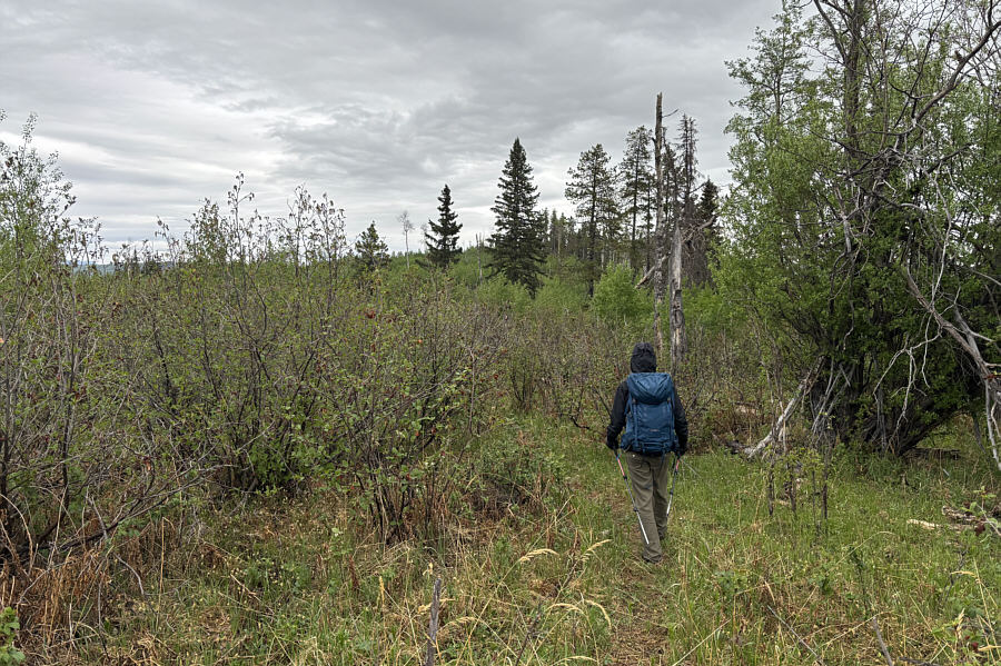
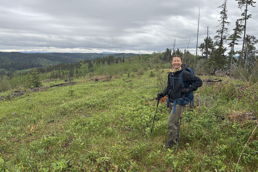
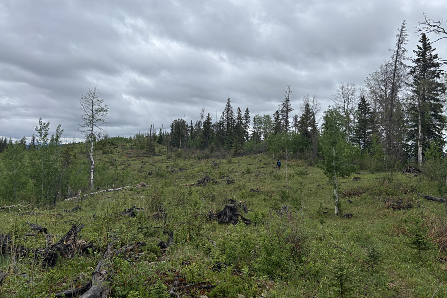
Upon gaining the ridge crest, we abandoned the ATV road and headed north
through some bush by following numerous game trails most likely made by
wild horses as evidenced by the abundance of horse dung. We soon
broke out of the bush into some old clear cuts and continued easily to
the tops of two distinct high points along the ridge with the more
northerly one being higher. Although we had good visibility
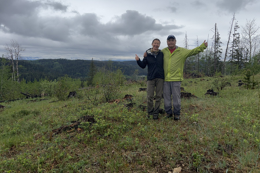
throughout the ridge crest, we were not inclined to linger due to the
inclement weather, and after tagging the second high point, we promptly
retraced our steps back to our car. Other than dodging more horse
dung on the ridge crest, the return trip was unremarkable.
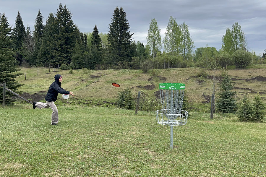
Returning to our car, Zosia and I next drove
to Aspen Meadows disc golf course which is located on a private ranch
about 4.5 kilometres northeast of Stafne Ridge. The course is open
to the public, but everyone that plays must register and complete a
waiver beforehand. Aspen Meadows is the top-rated disc golf
course in Alberta and third-best in Canada according to
UDisc.com
and consists of two championship-level (ie. very challenging) 18-hole
layouts--East and West. We had been here once before a few years
back but only played the East layout, and this was an ideal opportunity
to try the West layout. We started our round in a light but steady
rain, and admittedly, I felt like quitting after the first few holes
mainly because I had such a horrendous start (I was +11 thru 4 holes
while Zosia was kicking my butt with a much more reasonable +5).
Fortunately, we toughed it out, and both the weather and our game slowly
improved as we muddled our way through the remainder of the West layout.
Although our final scores were embarrassingly bad, we still enjoyed
playing the course and will definitely return for another game whenever
we drive out this way again.