BOU AVENUE
Marble Mountain

In anticipation of some inclement weather, Zosia Zgolak and I chose to do a short hike up Marble Mountain located west of Sundre, Alberta on 8 April 2021.  One of a handful of officially-named summits in the vicinity, Marble Mountain is probably the most worthwhile of the bunch, and a somewhat meandering ascent route has been published in AllTrails.  Vern Dewit and Wiestse Bylsma also ascended this mountain via a more direct route less than three weeks earlier, but at the time, we were not aware of their trip.

From the junction with Highway 22 at the west end of Sundre, drive westward on SR 584 for 42 kilometres to a T-intersection with the Forestry Trunk Road (SR 734).  Turn right and drive north for 8.0 kilometres to an unsigned junction with Tepee Pole Creek road.  Turn left and drive 3.7 kilometres to another unsigned junction with a logging road branching off to right.  Park here.  In dry conditions, all roads should be suitable for 2WD vehicles.

From where we parked, Zosia and I started hiking west along the logging road for about a kilometre to reach a four-way junction in the middle of a large cut block.  Turning right, we followed an obvious cut line running straight to the northeast and up the south side of Marble Mountain.  This cut line is steep in places with lots of ups and downs, and although it was easy enough to follow, I questioned whether this was the most efficient route up the mountain.  About 1.2 kilometres after turning onto the cut line, we passed a flagged trail on the right which looked promising as a possible alternate descent route.  Ignoring the trail for the time being, we continued along the cut line for another 300 metres to where a trail turns northward and climbs up the remainder of the mountain's south ridge.  The open summit grants far-reaching views in all directions, but with clouds obscuring more interesting mountains to the west, we could only see mostly surrounding clear-cuts.

For our descent, Zosia and I retraced our steps to the aforementioned flagged trail and opted to follow it down the south side of Marble Mountain.  Other than a brief curve to the east, the trail pretty much plunges straight down to Tepee Pole Creek road.  This is the very same route that Dewit and Bylsma ascended, and although the trail is steep, it is not as long-winded or annoyingly undulating as the one described by AllTrails.  Our descent was quick with no nonsense, but just before reaching the road, we turned west to follow a power line right-of-way for a short distance back to our starting point.
Maybe we should have brought skis?

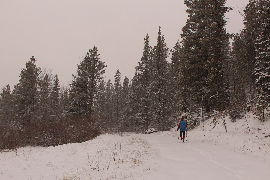
Zosia starts hiking along a logging road branching off from Tepee Pole Creek road.

Well, I guess we won't get lost on the cut line, but there must be a better route than this one!

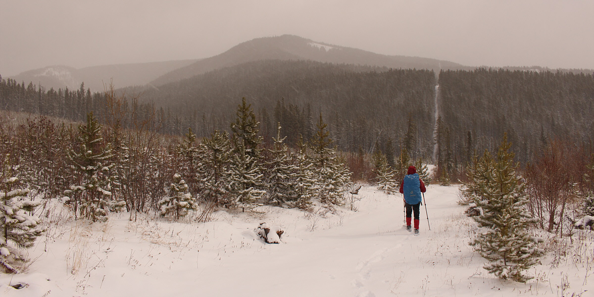
In a large cut block, Zosia turns off the logging road and heads for an obvious cut line.  Marble Mountain is visible at centre.


Okay, skis would have been bad here!

It is a steep grind going up the cut line.

Yep, this route sucks! The cut line undulates a few times and entails some annoying elevation losses.
Very pretty. 
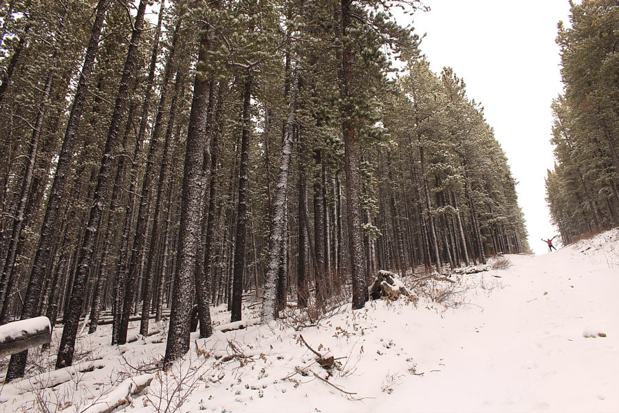
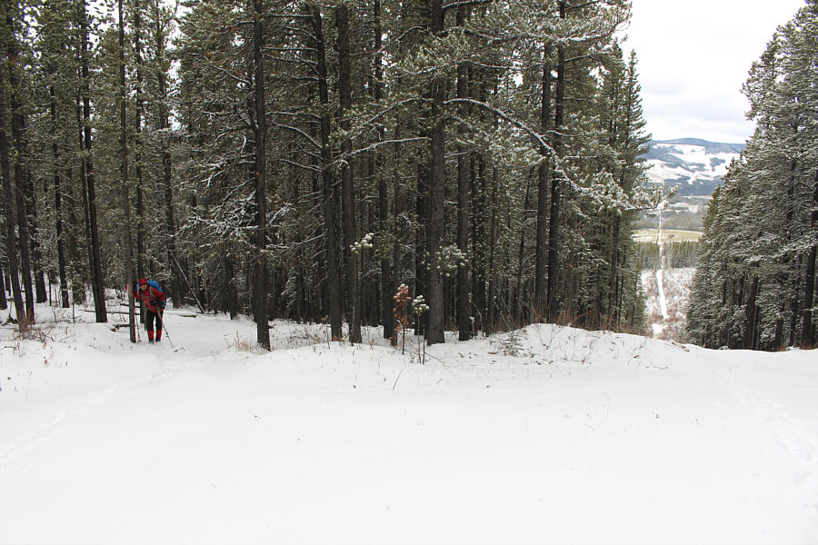
Fresh snow plasters the trees in the forest.
With more snow, this could be a good ski...

Zosia climbs a trail going up the south ridge.

It kinda looks like Zosia is skiing here!

Zosia breaks out of the forest near the summit.

Probably the nicest front-range summit in this area.

Sonny and Zosia stand on the summit of Marble Mountain (1833 metres).

And there's not much except clear-cuts between here and there.

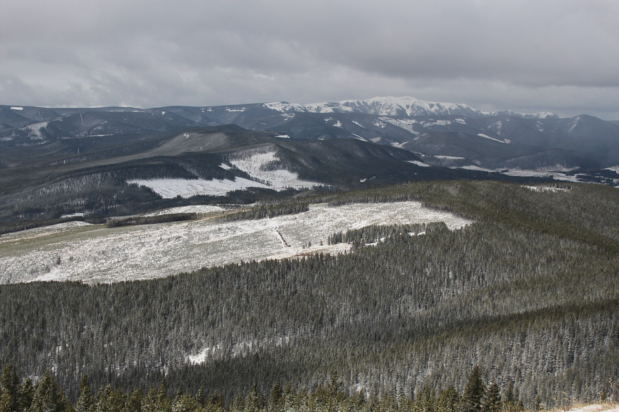
Limestone Mountain is visible at right on the western horizon.

The clear-cut ridge looks more interesting though! 
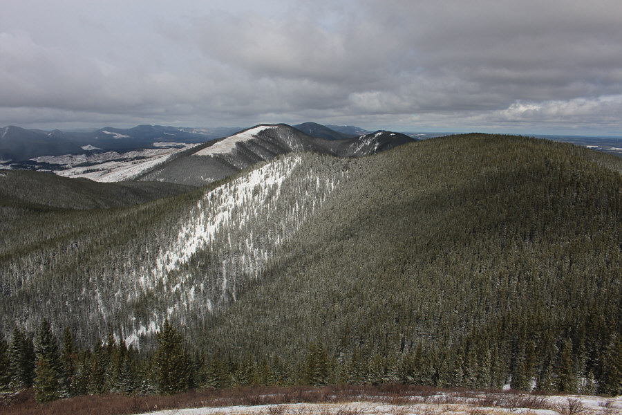
The only noteworthy peak to the north is Corkscrew Mountain (centre just behind the ridge with the clear-cut).
Goodbye, Marble Mountain! We will never come back here. Zosia leaves the summit and begins her descent.
Can't be any worse than the cut line! Instead of returning along the cut line, Zosia opts to follow another trail heading south.
It would be a grind to come up this way, but it's a quick no-nonsense plunge back down. The trail to the south is mostly straight and steep.
Only 350 metres further from here. Zosia follows a power line for a short distance back to the starting point.
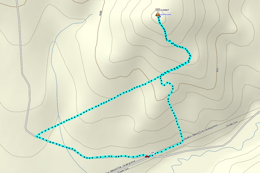
Not really worth the long drive but suitable when time and energy are short or the weather sucks. Total Distance:  5.4 kilometres
Round-Trip Time:  2 hours 43 minutes
Net Elevation Gain:  377 metres

GPX Data