BOU AVENUE
Terrace Mountain
On 28 June 2026, Zosia Zgolak and I ascended Terrace Mountain located about 31 kilometres southwest of Vernon, British Columbia.  This prominent mountain caught my eye when we hiked Vernon Hill the previous year, and the easiest ascent route is nothing more than a simple walk up a good dirt road as detailed by Martin Ortmayr in peakbagger.com.  Access entails a long drive along gravel forestry roads, but getting to Ortmayr's starting point is fairly straightforward even for 2WD vehicles.

In West Kelowna, turn west onto Westside Road from Highway 97.  Drive 8.4 kilometres and turn left onto Bear Lake Forest Service Road (FSR; 2WD gravel).  Drive 11.9 kilometres and turn right onto Esperon FSR.  Drive 9.9 kilometres and turn right onto Terrace Lookout FSR.  Drive 1.7 kilometres and park to the side before a narrowing where the road is partially deactivated.

Zosia and I actually drove to nearby "Big Horn Lake" (200 metres past the turnoff to Terrace Lookout FSR) the previous evening and camped there before driving the remaining distance to the starting point in the morning.  From where we parked, we followed the continuation of the road through a section that has been partially deactivated by the addition of berms.  We stayed left at a split about 700 metres from the starting point and then left again at a second split 950 metres further.  After climbing over a hill, the road drops into a dip where another road joins in from the right.  Ignoring this side road, we continued straight and began climbing a series of switchbacks of varying lengths for the remaining two kilometres and change to the summit.  A chilly wind made it too uncomfortable to linger at the top, and after taking our requisite photographs, we retreated down the road to a more sheltered location before taking a break.

For our descent, Zosia and I backtracked along the same road and had no issues with either the walk or the drive out.
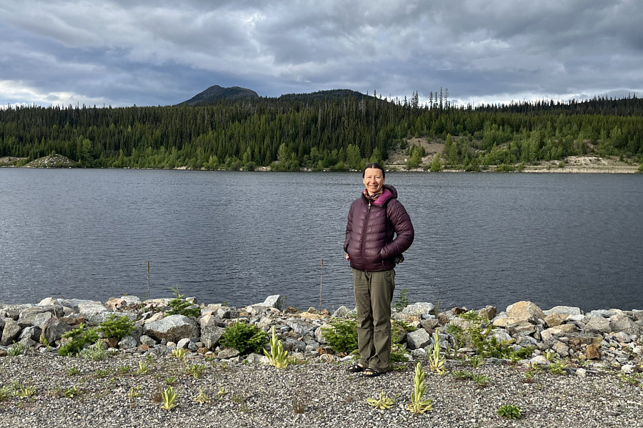
Nice camping spot nearby! The evening before the hike, Zosia stands near man-made "Big Horn Lake" with Terrace Mountain visible on the left horizon.
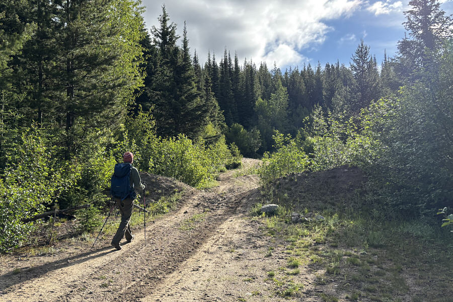
Didn't stop someone from driving right through the berm! Zosia begins hiking at a spot where the access road is partially deactivated.
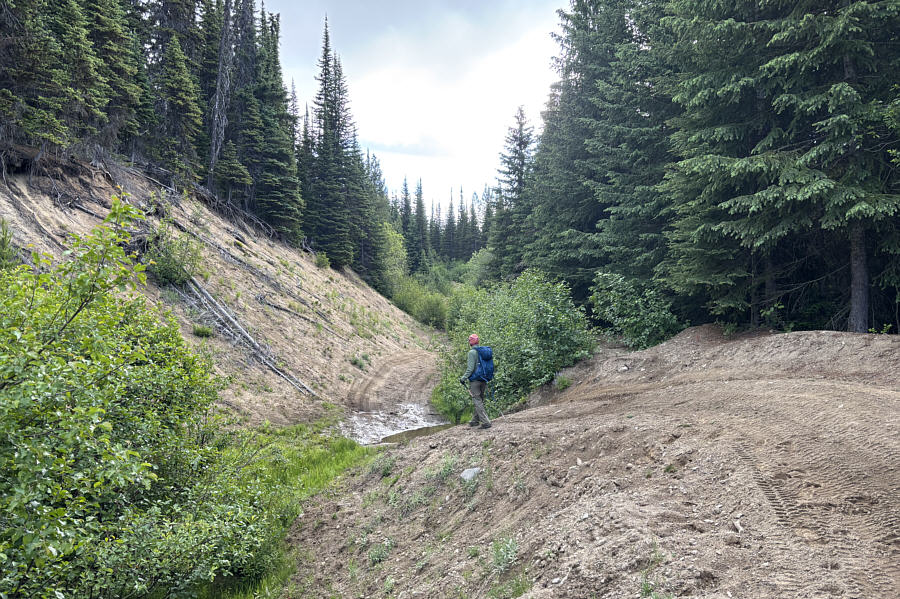
Not with my Honda CR-V! A determined driver with a high-clearance vehicle could probably still drive through this rough section of road.
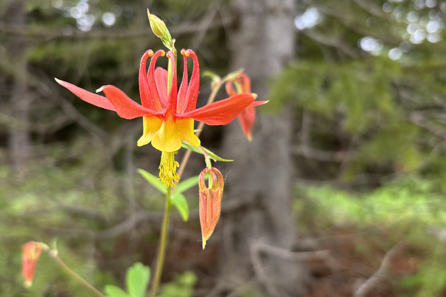
I've never seen a blue columbine... Wild flowers like this red columbine help break up the monotony of walking the road.
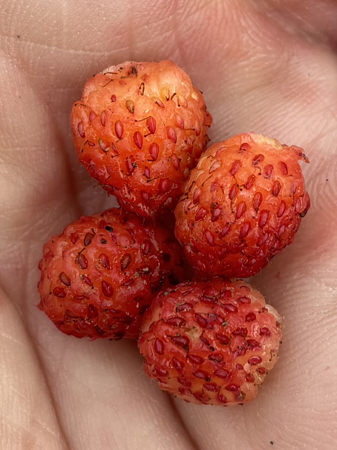
Yum yum! There are plenty of wild strawberries to be found along the road on this day.
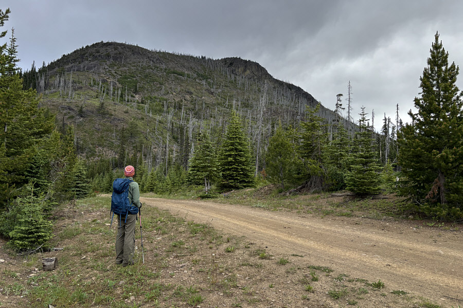
It might be possible to climb the south ridge, but why make things complicated? Zosia pauses just before a dip in the road to survey the main mass of Terrace Mountain.
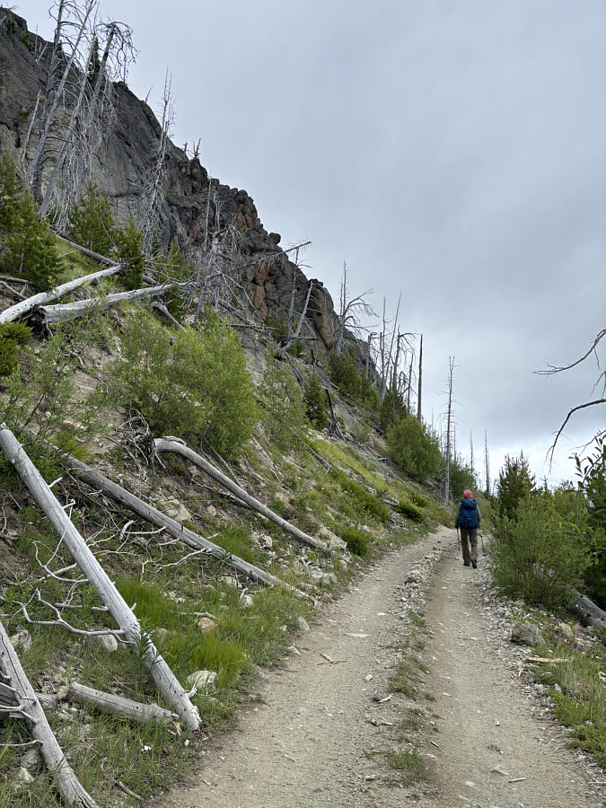
The road passes under some impressive cliffs here. The road continues climbing along the eastern flank of the mountain.
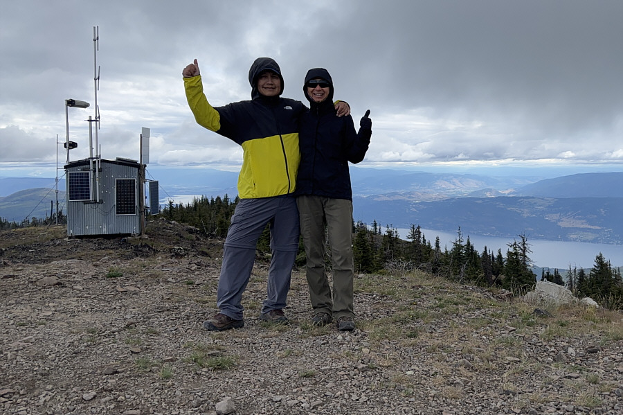
Windy and cold here but no bugs! Sonny and Zosia stand on the summit of Terrace Mountain (1907 metres).
The last two are natural lakes. The view to the southwest includes Big Horn Lake (left), Duo Via Lake, and Christie Lake.
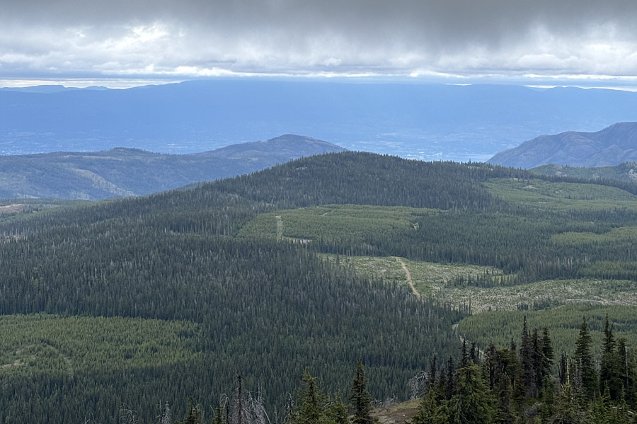
Blue Grouse Mountain doesn't look like much from here! Behind the forested hump to the south is Blue Grouse Mountain (left of centre).

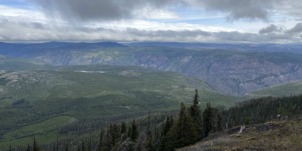
Must've been a Scottish drunk who named the lake!

A canyon formed by Shorts Creek dominates the view to the north.  The lake at left is officially-named named Loch Drinkie.


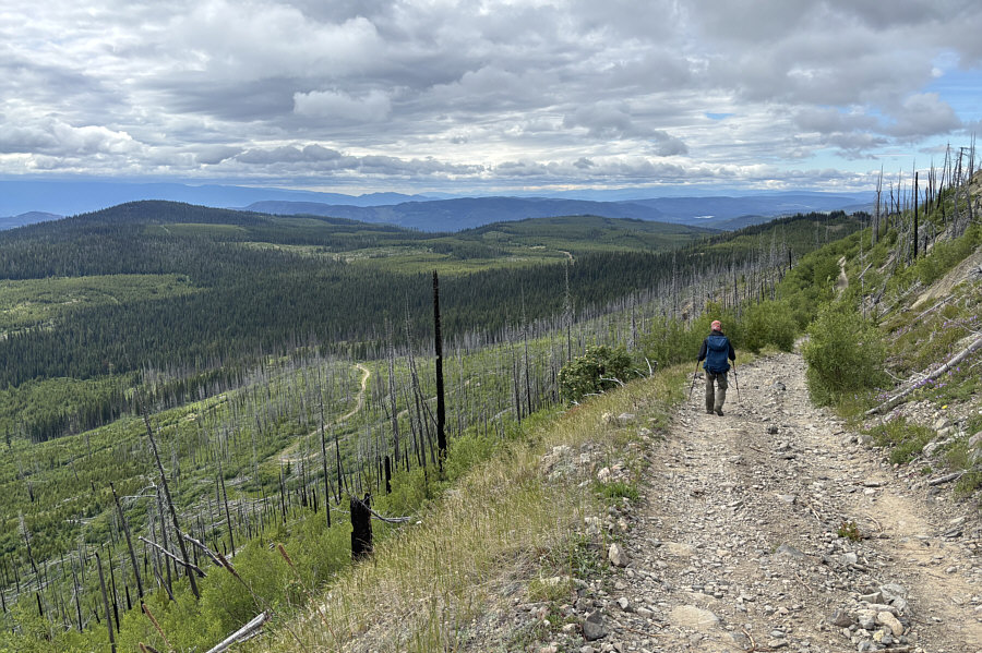
Easy, no-nonsense descent! Zosia descends the same road she came up.
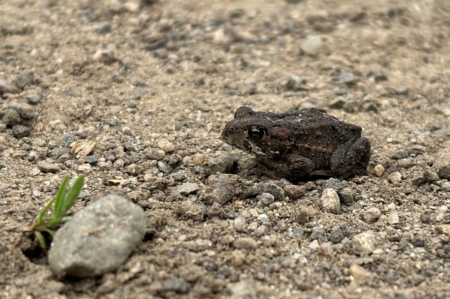
Ribbit. Zosia nearly stepped on this tiny toad sitting in the middle of the road.
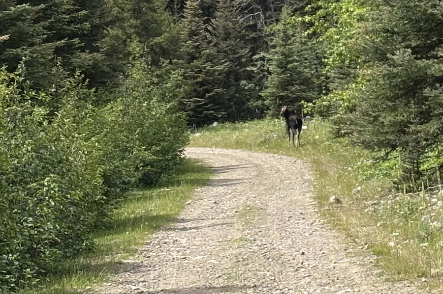
More shy than the cattle in the area! During the drive out, a startled moose hurries away along the road.
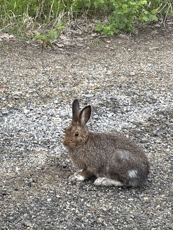
What's up, doc? A snowshoe hare perks up at the sound of an approaching car.
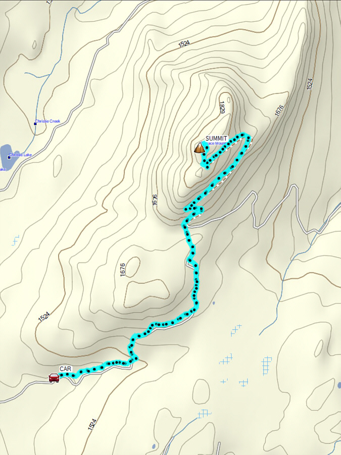
It's a long drive but a simple walk-up. Total Distance:  10.3 kilometres
Round-Trip Time:  4 hours 17 minutes
Cumulative Elevation Gain:  433 metres

GPX Data