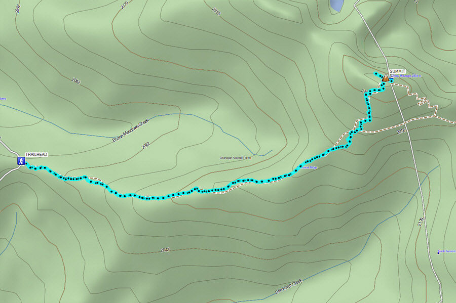
From the town of Winthrop, head north on Bluff Street which eventually becomes E. Chewuch Road. At the intersection with Bear Creek Road (access to Pearrygin Lake State Park), continue driving northward for 7.8 kilometres to a split. Veer right onto Forest Road (FR) 37 and drive 2.0 kilometres to a second split. Keep straight (right) and drive 9.6 kilometres to a third split where the pavement soon ends and becomes 2WD gravel. Keep right again and drive 8.8 kilometres before veering left onto FR 39. Drive 5.1 kilometres to the signed trailhead next to a small pullout. Park here. The last climb up the road before the trailhead may be a little rough, and although most 2WD vehicles should still be able to make it, high clearance helps. Tiffany Spring Campground (free; includes vault toilet, picnic tables and fire rings) is about 6.5 kilometres further north along FR 39 and is the starting point for an alternate but longer approach to the mountain via Tiffany Lake.
After spending the previous night at
Tiffany Spring campground, Zosia and I had breakfast (at
Tiffany's) before driving to
the Freezeout Ridge trailhead. The trail is well-maintained and
easy to hike, and we had no issues following it up Freezeout Ridge which
is broad and mostly open. About 2.5 kilometres or so from the
trailhead, we turned left at a signed junction and zigzagged up the
remainder of the trail to the summit. There are a few rocky knobs
on the summit ridge, but the true summit appears to be right near the
register which is housed in a pipe sticking straight up out of the
ground. We eventually settled down for a break near the west end of
the summit ridge.
Photo courtesy of Zosia Zgolak
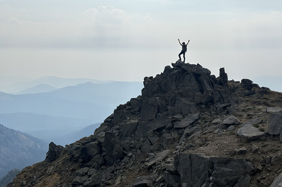
Zosia stands on another rocky knob (2510 metres) at the
west end of the summit ridge. Both Little Tiffany Lake and Tiffany
Lake are visible from this vantage point.
For our descent, Zosia and I simply retraced our steps back down the
trail. Returning to the trailhead seemingly took less time than the
subsequent drive to Pearrygin Lake State Park where we grabbed a
much-needed free shower.
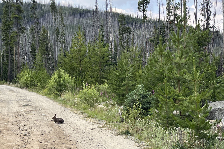
A rabbit blocks the road to the
trailhead.

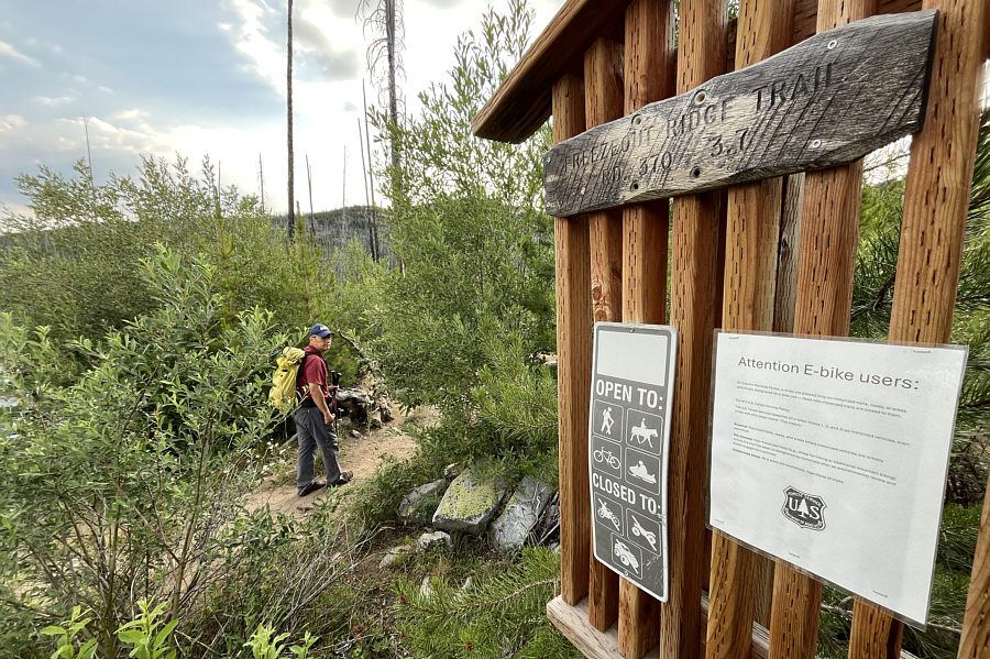
Sonny begins hiking at the trailhead.

The forest thins out
revealing the top of Tiffany Mountain.

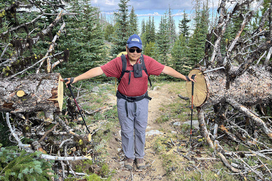
Sonny does some trail maintenance and
splits apart deadfall with his fingers.

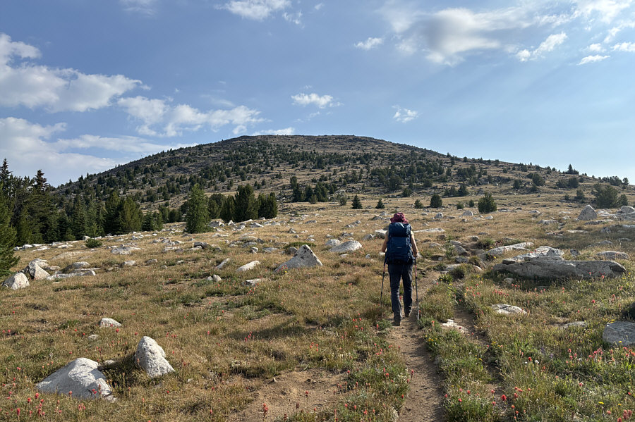
Zosia approaches the base of the final
slope.

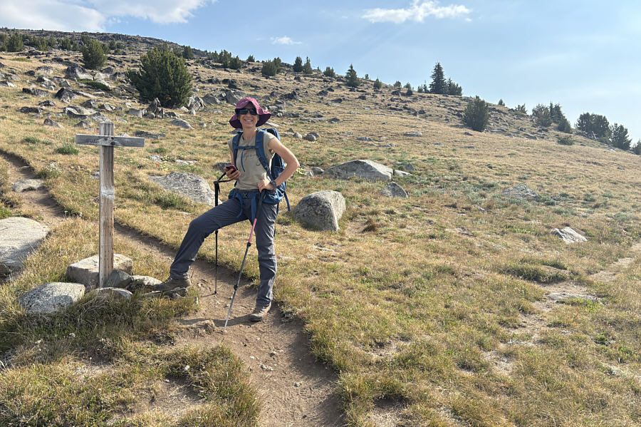
Zosia reaches the turnoff to the
summit. The trail branching right eventually leads to Tiffany
Lake and Tiffany Spring Campground.

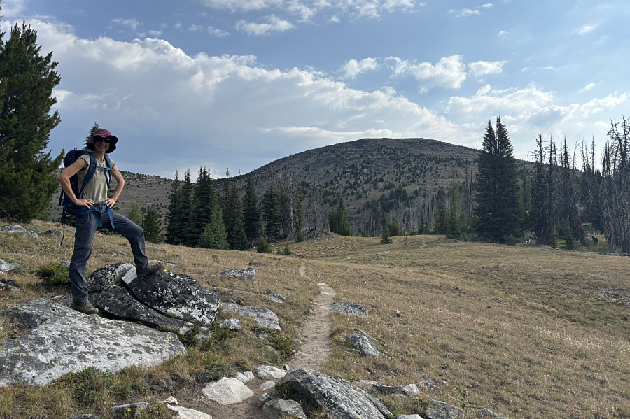
Zosia stands on a rocky knob (2510
metres) at the east end of the summit ridge.

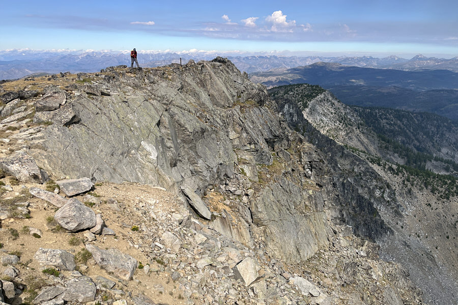
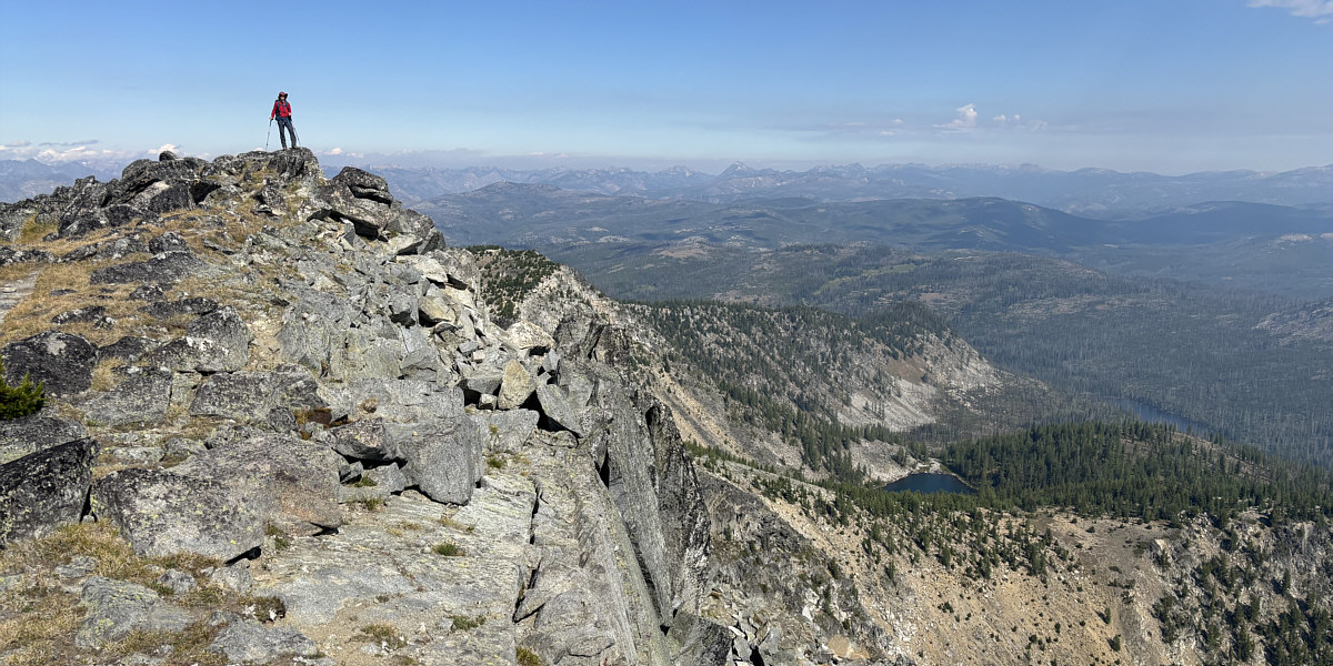
Surprisingly precipitous cliffs
characterize the north side of Tiffany Mountain.

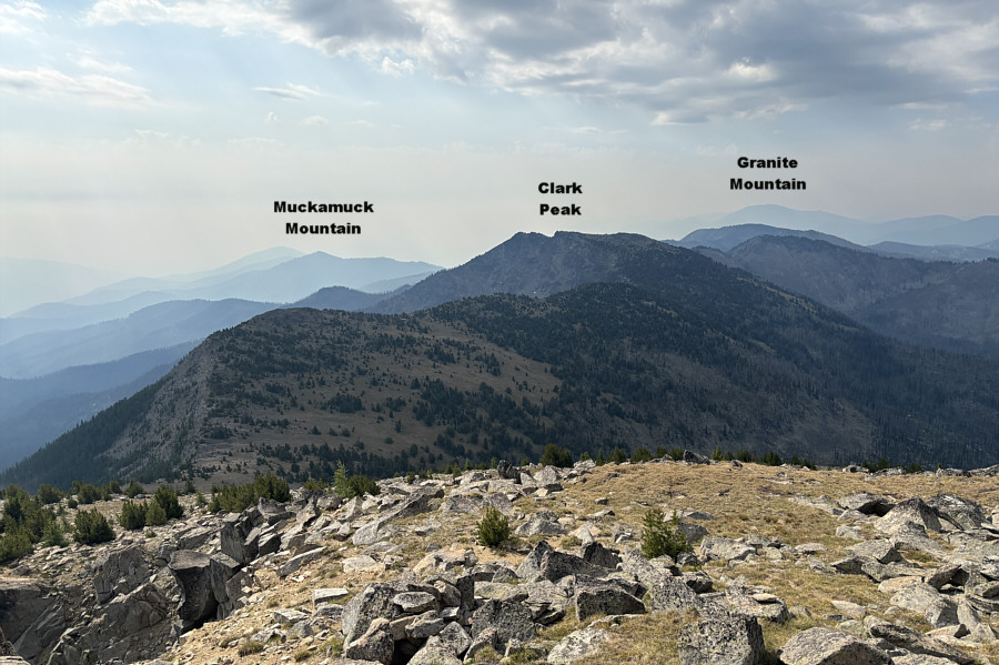
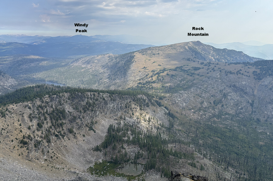
Here is the view to the southeast from
the top of Tiffany Mountain.

In this view to the north, Tiffany
Lake is barely visible at left.

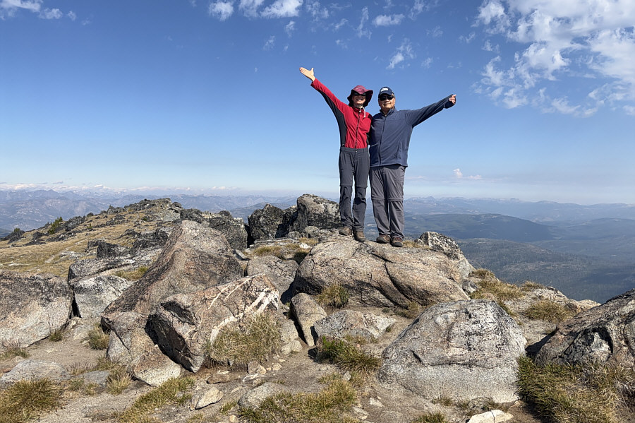
Zosia and Sonny stand on the summit of
Tiffany Mountain (2512 metres).


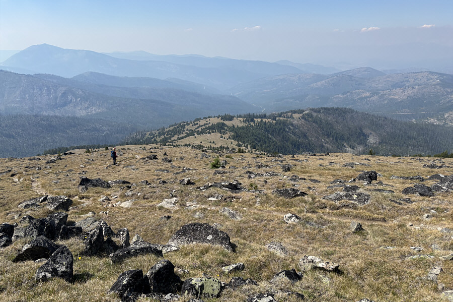
Here is a comprehensive view of
Freezeout Ridge as Zosia descends the same trail. Further
south, the peak at far left is Old Baldy.

Total Distance: 7.3 kilometres
Round-Trip Time: 4 hours 34 minutes
Cumulative Elevation Gain: 501 metres