BOU AVENUE
Rimwall Summit
On 25 June 2004, I headed out to Kananaskis Country after work to bag Rimwall Summit.  I started up the trail to West Wind Pass at 6:12 PM, but it wasn't long before I left the trail and began climbing up the rocky slope leading to Rimwall's ridge crest.  Generally, I had no difficulties until I reached the final cliff band before the top.  There is an easy route through this cliff band further down the slope (I took it on the descent), but being lazy, I stuck to the ridge crest and had to scramble up a difficult step about 3 or 4 metres high.  I tagged the summit at 8:22 PM.  After snapping some photographs and signing the register, I began descending at 8:46 PM.  Halfway down the mountain, I slipped on some ball-bearing scree and gashed my left thumb and palm.  Lately, it seems as if a scramble isn't complete without me leaving some flesh or blood behind.  After paying my blood sacrifice, I was back at my car by 9:59 PM.
Find Sonny's car! 
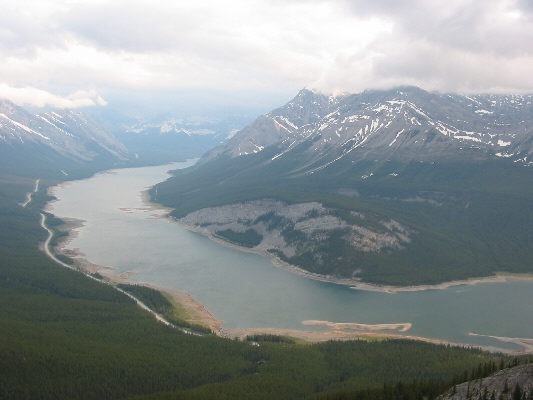
This is the Spray Lakes Reservoir as seen from the upper slopes of Rimwall.
Turn left here! 
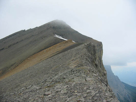
Sonny begins hiking along the top edge of Rimwall.
Don't look down! 
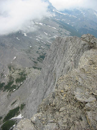
Part of Rimwall's east face can be seen here.  At left is West Wind Pass.
Exactly 2 hours 10 minutes to reach the top! 
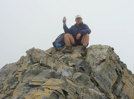
Sonny holds up the register canister while sitting on the 2680-metre summit.
Doesn't look like a scramble...thank goodness! 
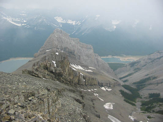
This is a southwestern outlier as seen from Rimwall Summit.
Rimwall Summit This photo, taken on descent, shows the upper part of Rimwall and its overhanging east face.
Hope that rock doesn't break... 
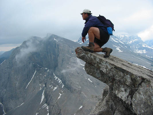
Sonny inches forward to peer over the edge.  Windtower is visible in the distance.