
I had two mishaps on this trip, both probably due to mental and physical fatigue. The first mishap embarrassingly occurred just metres from the summit cairn when I began my descent. My right foot got stuck in a crack, and I flipped onto my back. Luckily, my daypack cushioned my fall, but I ended up in a most awkward position with my head pointed down-slope and my right foot twisted around and still jammed in the crack. For a few moments, I was completely helpless as I couldn't shift my weight to release my right foot (it's amazing that I didn't twist my knee or ankle). I was about to try untying my bootlace when my foot suddenly came free. Lots of cursing followed. The second mishap occurred later on while I was on the trail that is "easy to follow even without a headlamp". I was cruising along at a fast clip when I suddenly tripped over a small rock sending me crashing head over heels into some deadfall beside the trail. I banged my left knee pretty good in the process. More cursing followed.
My round-trip time was a little less than 9.5 hours.
|
|
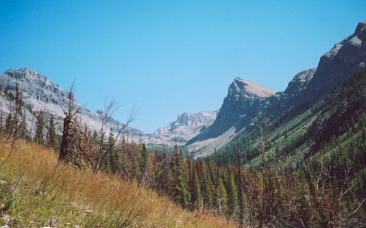
This is the upper valley of Hawk Creek. |
|
|
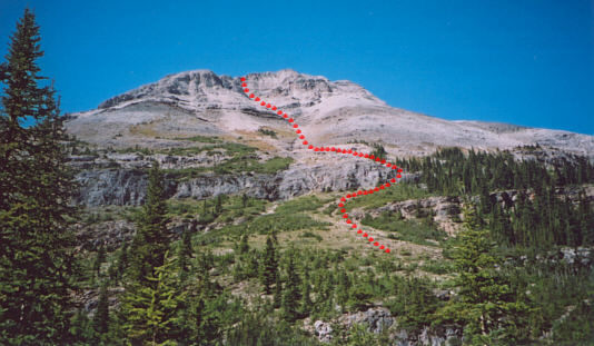
This is the first clear view of Isabelle Peak from the trail. The scramble route is shown. Note that the summit is not visible here. |
|
|
The terrain gets steeper on the upper mountain. |
|
|
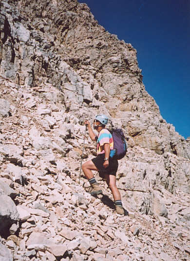
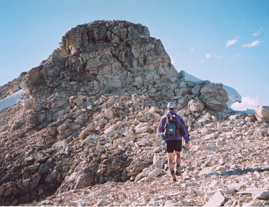
Sonny climbs out of the initial access gully. |
|
|
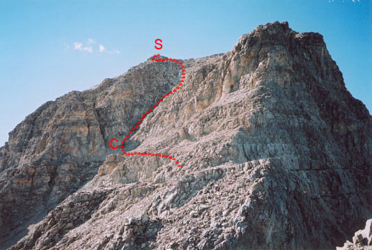
This is the view of the crux (C) and summit (S) from lower down on the ridge. |
|
|
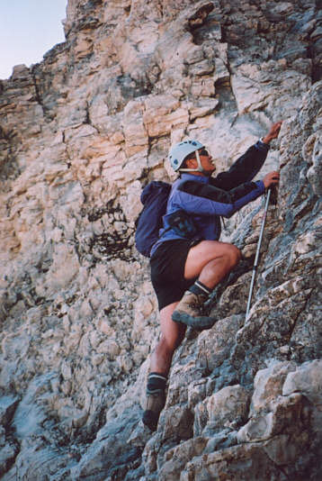
Sonny scrambles up the crux. |
|
|
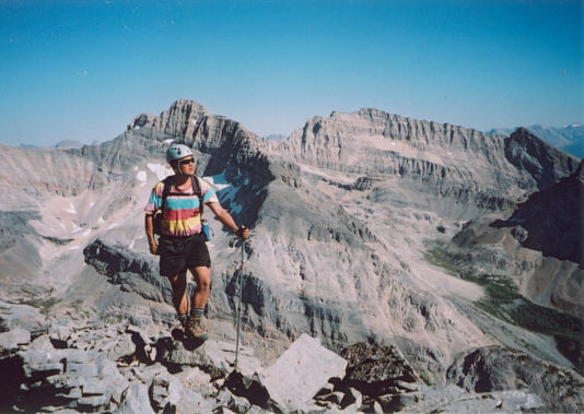
Sonny marches across a small plateau toward the summit block. |
|
|
Sonny reclines on the 2938-metre summit of Isabelle Peak. |
|
|
Mount Ball dominates the view to the north. |
|
|
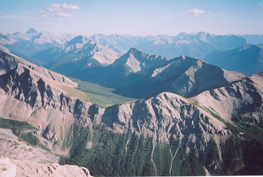
Hawk Ridge stretches away to the southeast toward Mount Assiniboine (on horizon at far left). |
|
|
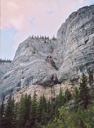
These are some of the cliffs guarding the lower flanks of Isabelle Peak. |
|
|
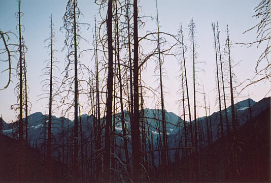
Most of the trees in the lower valley of Hawk Creek stand as silent testament to the wildfires that swept through the area in the summer of 2003. |