Photo courtesy of Kelly Wood

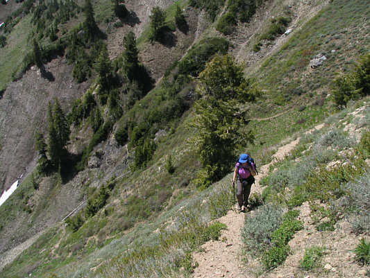
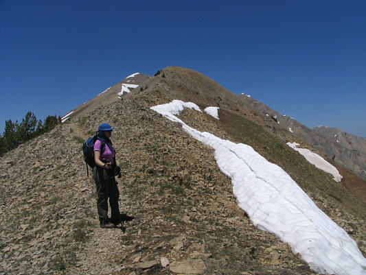
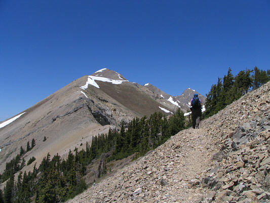
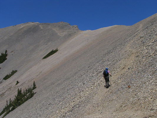
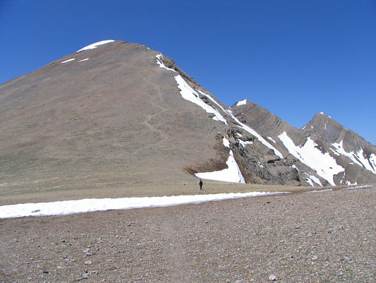

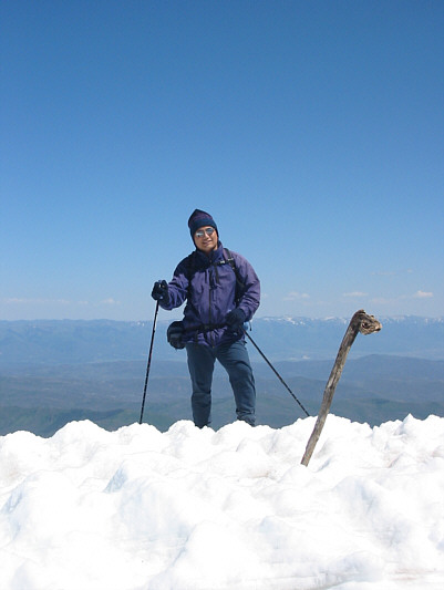
Photo courtesy of Kelly Wood

On the south summit, Kelly grew
concerned when she noticed that
I was short of breath. Indeed, every
little thing I did--squatting, standing up, opening my pack, setting up
my camera tripod--seemed to take an enormous amount of effort. The
breeze made the south summit quite cool, but I was still feeling the
effects of heat exhaustion. I really needed a long snooze, but
given the lateness of the day, I felt some urgency to begin descending.
We both left the south
summit at 3:44 PM. The late afternoon sun was most unbearable, and as
we descended off the summit ridge, I struggled to keep my head and neck
shaded with my baseball cap (I wished I had a sombrero!). I felt
some measure of relief when we reached a small trailside snowmelt stream
that we had come across earlier in the day during our ascent. The
ice-cold water tasted refreshingly good. The
remainder of our descent was easy but unbearably long--countless switchbacks and a
seemingly bottomless valley floor. At least the sun had gone over
the ridge and was no longer beating down upon our backs. We both
made it back to our car by 8:15 PM and subsequently had dinner in the
nearby town of Nephi before checking in at the Best Western Hotel there.
|
|
This is the south summit of Mount Nebo as seen from the trail head. |
|
|
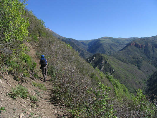
Kelly hikes the trail going up Andrews Ridge. |
|
|
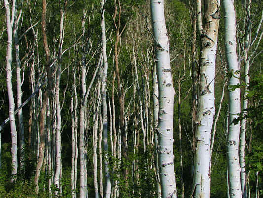
These aspen tree trunks break up some of the monotony of the forest. |
|
|
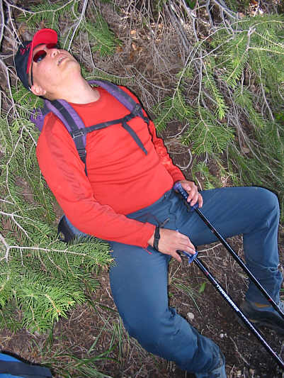
Sonny starts to feel the heat. Photo courtesy of Kelly Wood |
|
|
Over three hours into the hike, the summit ridge is still far away. |
|
|
Kelly climbs up more switchbacks. |
|
|
Kelly finally gains the summit ridge. |
|
|
The three summits of Mount Nebo are visible in the distance. |
|
|
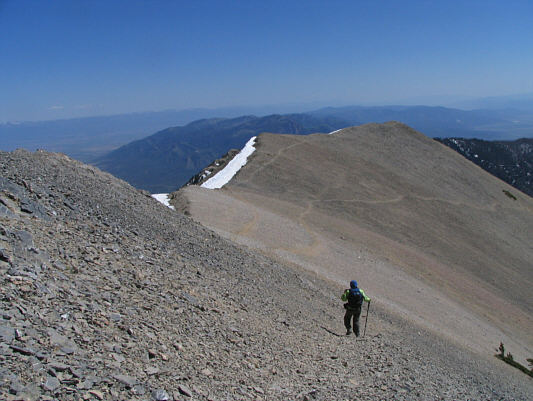
The trail to the south summit is easy to follow. |
|
|
There is a huge plateau just before the south summit. The middle and north summits are visible at right. |
|
|
Kelly leads the way. |
|
|
Sonny finally reaches the south summit. Photo courtesy of Kelly Wood |
|
|
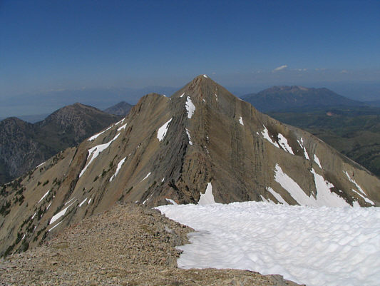
The north summit looks tantalizing from the south summit. |
|
|
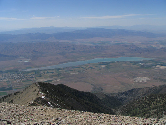
Sonny and Kelly stand atop the 3620-metre south summit of Mount Nebo. Utah Lake is visible in the distance at right. |
|
|
This is looking west to Mona Reservoir. |
|
|
Kelly hikes down the summit ridge. |
|
|
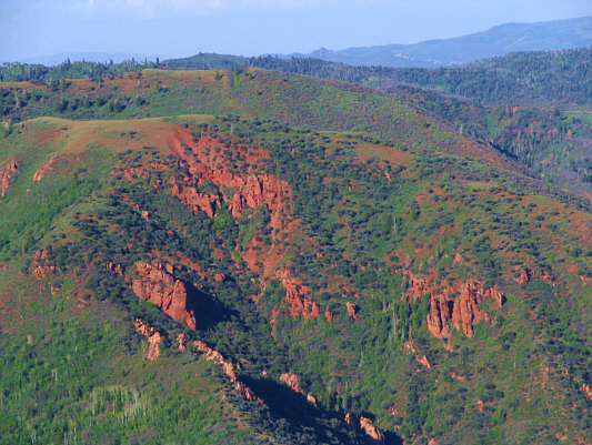
Across the valley to the east are some interesting red rocks. |
|
|
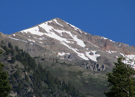
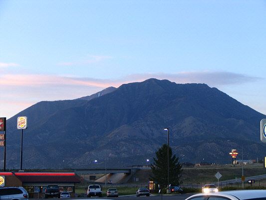
This is looking up from the town of Nephi at Mount Nebo's south summit (with streaks of snow and barely peaking above the ridge in front). |